Copiague (/ˈkoʊpeɪɡ/ KOH-payg) is a hamlet on Long Island (and census-designated place) in Suffolk County, New York, United States. The population was 23,429 at the 2020 census. Copiague is an unincorporated place within Babylon.
| Name: | Copiague CDP |
|---|---|
| LSAD Code: | 57 |
| LSAD Description: | CDP (suffix) |
| State: | New York |
| County: | Suffolk County |
| Elevation: | 23 ft (7 m) |
| Total Area: | 3.71 sq mi (9.61 km²) |
| Land Area: | 3.09 sq mi (8.01 km²) |
| Water Area: | 0.62 sq mi (1.60 km²) |
| Total Population: | 23,429 |
| Population Density: | 7,577.30/sq mi (2,925.40/km²) |
| ZIP code: | 11726 |
| Area code: | 631 |
| FIPS code: | 3618146 |
| GNISfeature ID: | 0947414 |
Online Interactive Map
Click on ![]() to view map in "full screen" mode.
to view map in "full screen" mode.
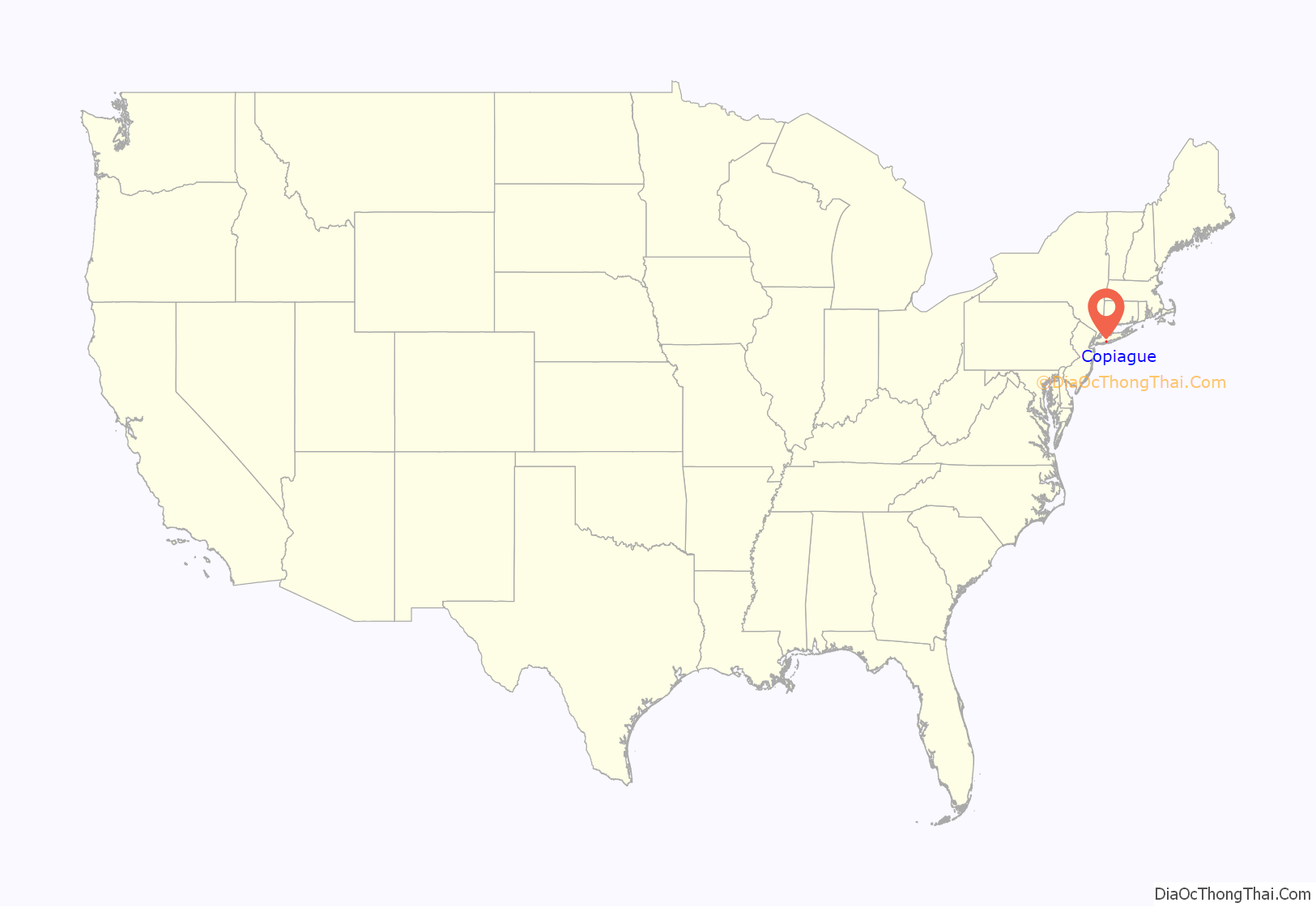
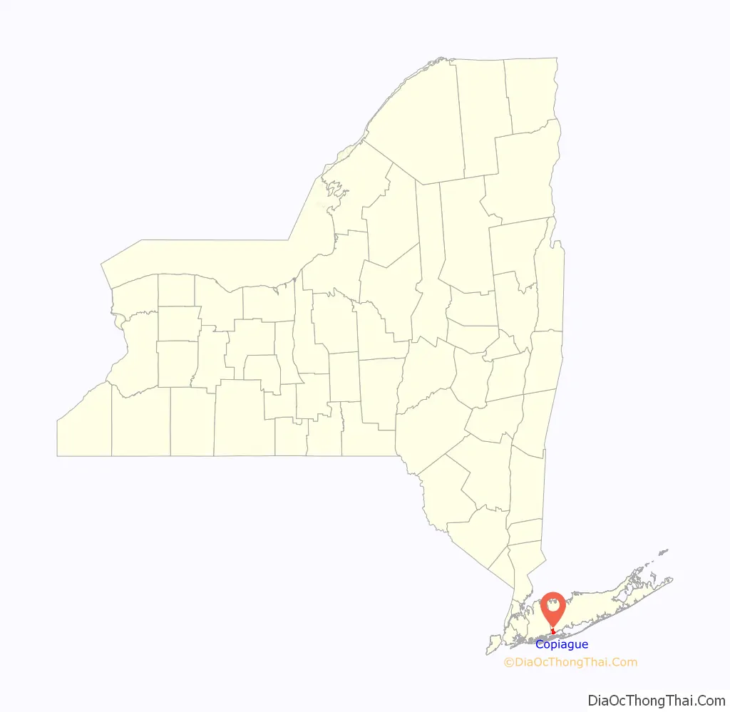
Copiague location map. Where is Copiague CDP?
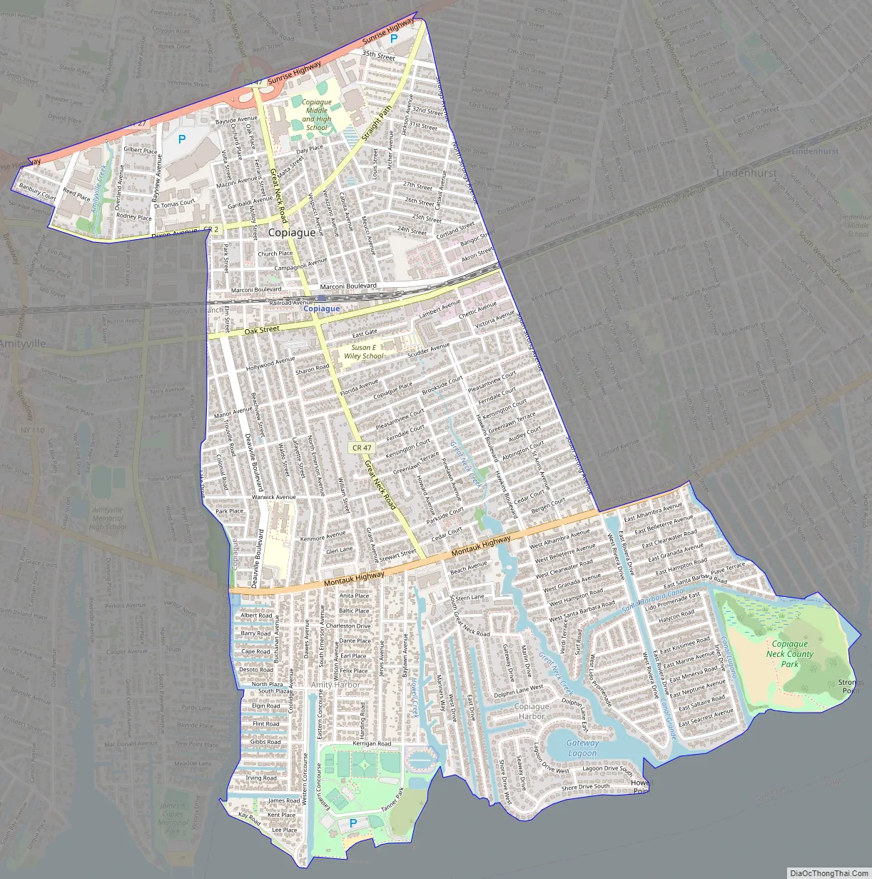
Copiague Road Map
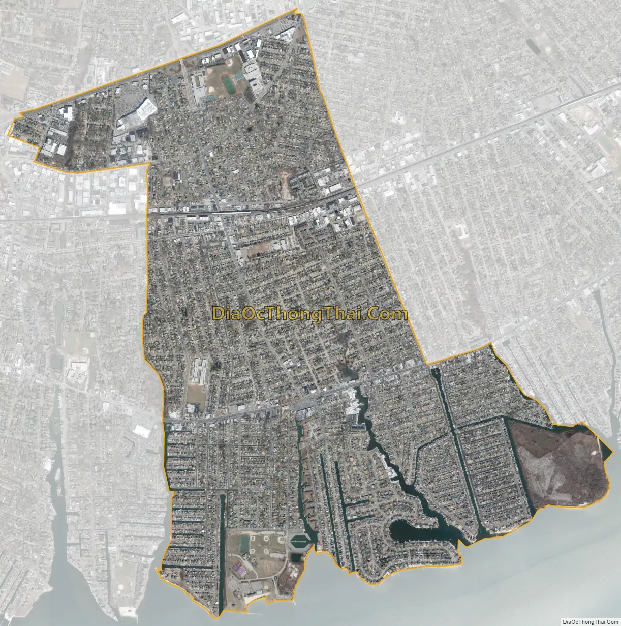
Copiague city Satellite Map
Geography
Copiague is located at 40°40′29″N 73°23′36″W / 40.67472°N 73.39333°W / 40.67472; -73.39333 (40.674700, -73.393235). It is approximately 35 miles (56 km) east of Manhattan and 70 miles (110 km) west of Montauk Point.
According to the United States Census Bureau, the CDP has a total area of 3.2 square miles (8.4 km), of which 3.2 square miles (8.3 km) is land and 0.04 square miles (0.1 km), or 0.88%, is water.
Copiague is bordered by Amityville to the west, North Amityville to the north, Lindenhurst to the east, and the Great South Bay to the south.
South of Montauk Highway, Copiague is divided into three major peninsulas:
- The southwestern peninsula is known as Amity Harbor and is served by the Amityville Post Office.
- The central peninsula is known as Copiague Harbor and is served by the Copiague Post Office.
- The southeastern peninsula is known as American Venice and is served by the Lindenhurst Post Office.
See also
Map of New York State and its subdivision:- Albany
- Allegany
- Bronx
- Broome
- Cattaraugus
- Cayuga
- Chautauqua
- Chemung
- Chenango
- Clinton
- Columbia
- Cortland
- Delaware
- Dutchess
- Erie
- Essex
- Franklin
- Fulton
- Genesee
- Greene
- Hamilton
- Herkimer
- Jefferson
- Kings
- Lake Ontario
- Lewis
- Livingston
- Madison
- Monroe
- Montgomery
- Nassau
- New York
- Niagara
- Oneida
- Onondaga
- Ontario
- Orange
- Orleans
- Oswego
- Otsego
- Putnam
- Queens
- Rensselaer
- Richmond
- Rockland
- Saint Lawrence
- Saratoga
- Schenectady
- Schoharie
- Schuyler
- Seneca
- Steuben
- Suffolk
- Sullivan
- Tioga
- Tompkins
- Ulster
- Warren
- Washington
- Wayne
- Westchester
- Wyoming
- Yates
- Alabama
- Alaska
- Arizona
- Arkansas
- California
- Colorado
- Connecticut
- Delaware
- District of Columbia
- Florida
- Georgia
- Hawaii
- Idaho
- Illinois
- Indiana
- Iowa
- Kansas
- Kentucky
- Louisiana
- Maine
- Maryland
- Massachusetts
- Michigan
- Minnesota
- Mississippi
- Missouri
- Montana
- Nebraska
- Nevada
- New Hampshire
- New Jersey
- New Mexico
- New York
- North Carolina
- North Dakota
- Ohio
- Oklahoma
- Oregon
- Pennsylvania
- Rhode Island
- South Carolina
- South Dakota
- Tennessee
- Texas
- Utah
- Vermont
- Virginia
- Washington
- West Virginia
- Wisconsin
- Wyoming


