Corfu is a village in Genesee County, New York, United States. The population was 709 at the 2010 census. It is named after the Greek island of Corfu.
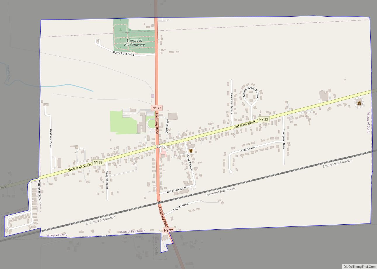
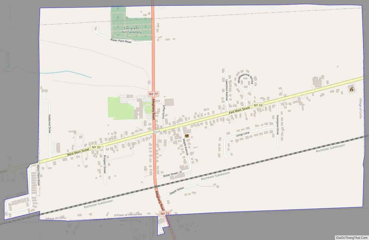
The village of Corfu lies along the southern edge of the town of Pembroke; about 1.5 acres (0.6 ha) within the village limits are within the town of Darien to the south.
| Name: | Corfu village |
|---|---|
| LSAD Code: | 47 |
| LSAD Description: | village (suffix) |
| State: | New York |
| County: | Genesee County |
| Elevation: | 863 ft (263 m) |
| Total Area: | 0.99 sq mi (2.58 km²) |
| Land Area: | 0.99 sq mi (2.58 km²) |
| Water Area: | 0.00 sq mi (0.00 km²) |
| Total Population: | 689 |
| Population Density: | 692.46/sq mi (267.33/km²) |
| ZIP code: | 14036 |
| Area code: | 585 |
| FIPS code: | 3618201 |
| GNISfeature ID: | 0947446 |
| Website: | www.corfuny.com |
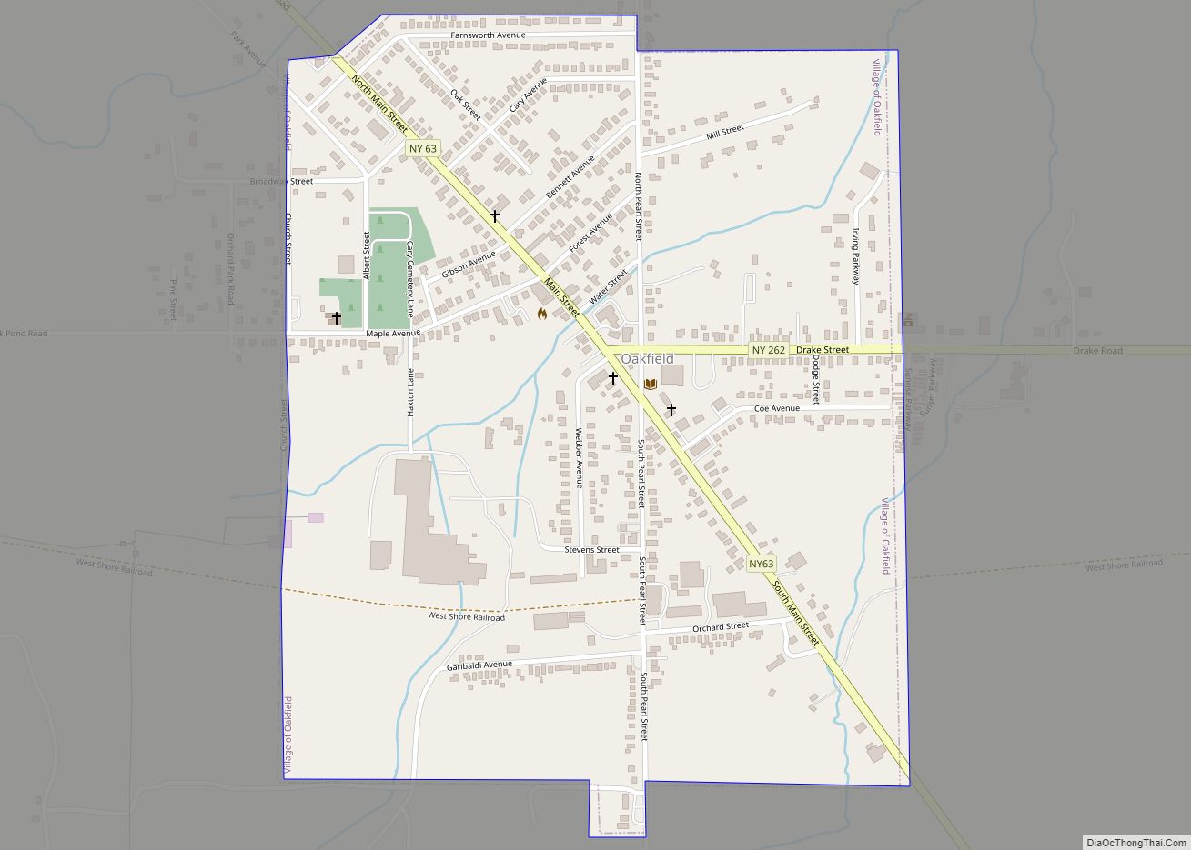
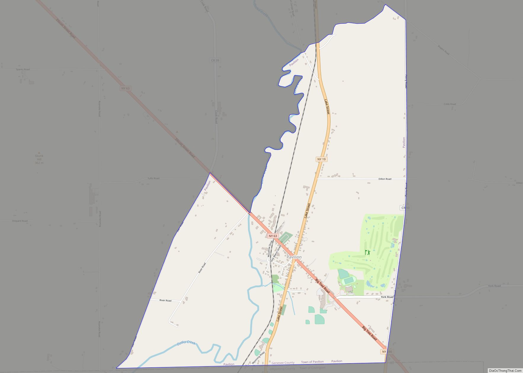
Online Interactive Map
Click on ![]() to view map in "full screen" mode.
to view map in "full screen" mode.
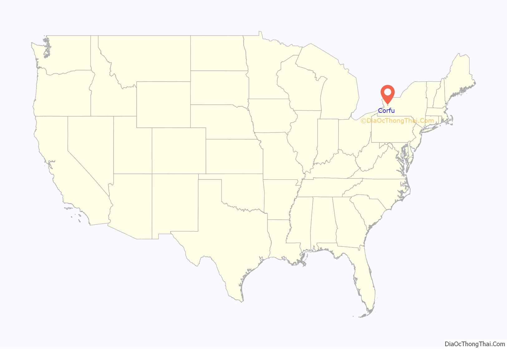
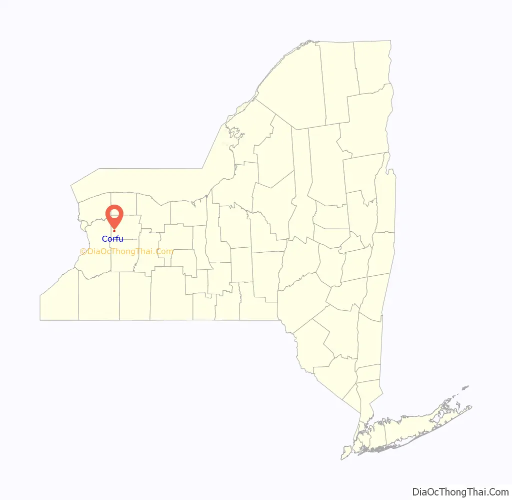
Corfu location map. Where is Corfu village?
History
The early community was known as “Longs Corners”. The name “Corfu” was adopted when a post office was established. The village of Corfu was incorporated in 1868.
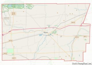
Corfu Road Map
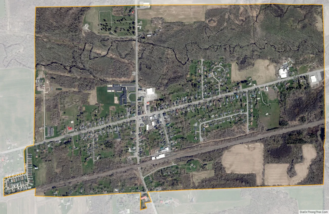
Corfu city Satellite Map
Geography
Corfu is located in western Genesee County at 42°57′31″N 78°24′14″W / 42.95861°N 78.40389°W / 42.95861; -78.40389 (42.958662, -78.403938). New York State Route 33 passes through the village as Main Street, leading east 11 miles (18 km) to Batavia, the county seat, and west 26 miles (42 km) to Buffalo. New York State Route 77 (Alleghany Road) intersects NY 33 in the center of Corfu, leading north, then west 27 miles (43 km) to Lockport and south 22 miles (35 km) to Java Center. Corfu is halfway along NY 77 between Six Flags Darien Lake to the south and the New York State Thruway to the north, both 3 miles (5 km) away.
According to the United States Census Bureau, the village of Corfu has a total area of 1.0 square mile (2.6 km), all land.
Murder Creek, a tributary of Tonawanda Creek, flows to the west through the village.
See also
Map of New York State and its subdivision:- Albany
- Allegany
- Bronx
- Broome
- Cattaraugus
- Cayuga
- Chautauqua
- Chemung
- Chenango
- Clinton
- Columbia
- Cortland
- Delaware
- Dutchess
- Erie
- Essex
- Franklin
- Fulton
- Genesee
- Greene
- Hamilton
- Herkimer
- Jefferson
- Kings
- Lake Ontario
- Lewis
- Livingston
- Madison
- Monroe
- Montgomery
- Nassau
- New York
- Niagara
- Oneida
- Onondaga
- Ontario
- Orange
- Orleans
- Oswego
- Otsego
- Putnam
- Queens
- Rensselaer
- Richmond
- Rockland
- Saint Lawrence
- Saratoga
- Schenectady
- Schoharie
- Schuyler
- Seneca
- Steuben
- Suffolk
- Sullivan
- Tioga
- Tompkins
- Ulster
- Warren
- Washington
- Wayne
- Westchester
- Wyoming
- Yates
- Alabama
- Alaska
- Arizona
- Arkansas
- California
- Colorado
- Connecticut
- Delaware
- District of Columbia
- Florida
- Georgia
- Hawaii
- Idaho
- Illinois
- Indiana
- Iowa
- Kansas
- Kentucky
- Louisiana
- Maine
- Maryland
- Massachusetts
- Michigan
- Minnesota
- Mississippi
- Missouri
- Montana
- Nebraska
- Nevada
- New Hampshire
- New Jersey
- New Mexico
- New York
- North Carolina
- North Dakota
- Ohio
- Oklahoma
- Oregon
- Pennsylvania
- Rhode Island
- South Carolina
- South Dakota
- Tennessee
- Texas
- Utah
- Vermont
- Virginia
- Washington
- West Virginia
- Wisconsin
- Wyoming