Cornwall-on-Hudson is a riverfront village in the town of Cornwall, Orange County, New York, United States. It lies on the west bank of the Hudson River, approximately 50 miles (80 km) north of New York City. The population as of the 2020 census was 3,075. It is part of the Poughkeepsie–Newburgh–Middletown metropolitan area as well as the larger New York metropolitan area.
| Name: | Cornwall-on-Hudson village |
|---|---|
| LSAD Code: | 47 |
| LSAD Description: | village (suffix) |
| State: | New York |
| County: | Orange County |
| Total Area: | 2.09 sq mi (5.42 km²) |
| Land Area: | 1.99 sq mi (5.15 km²) |
| Water Area: | 0.10 sq mi (0.27 km²) |
| Total Population: | 3,075 |
| Population Density: | 1,547.56/sq mi (597.55/km²) |
| ZIP code: | 12520 |
| Area code: | 845 |
| FIPS code: | 3618333 |
| Website: | cornwall-on-hudson.org |
Online Interactive Map
Click on ![]() to view map in "full screen" mode.
to view map in "full screen" mode.
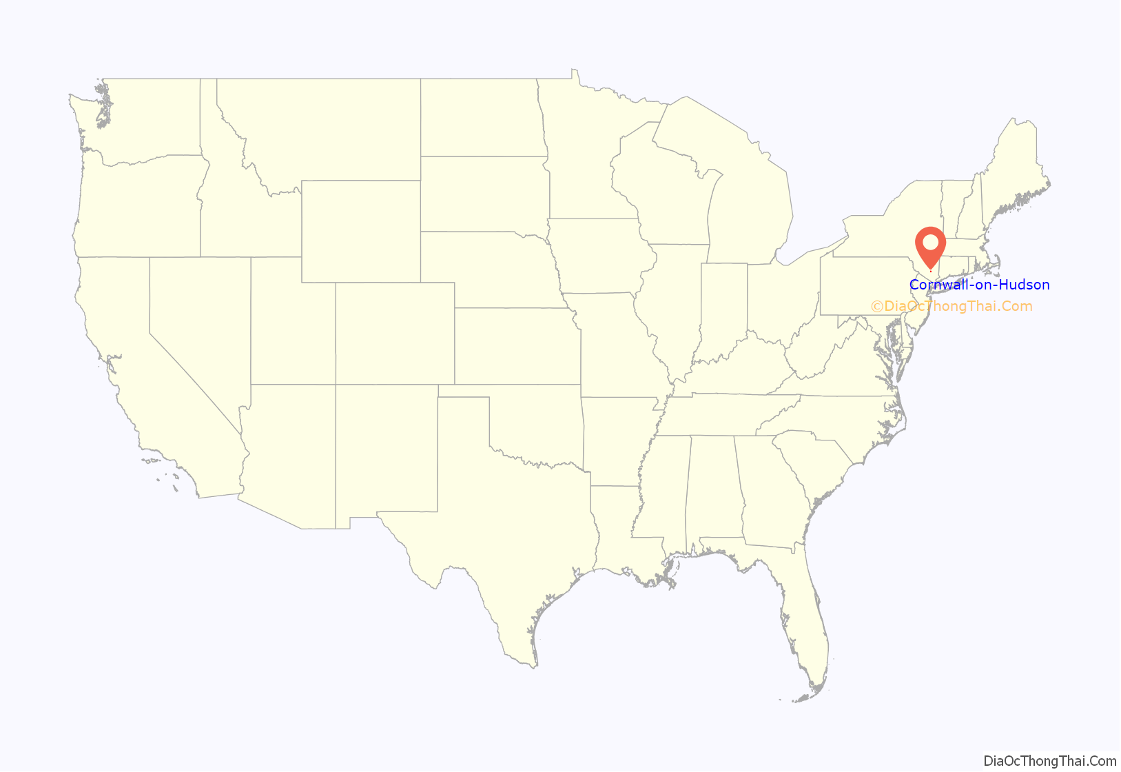
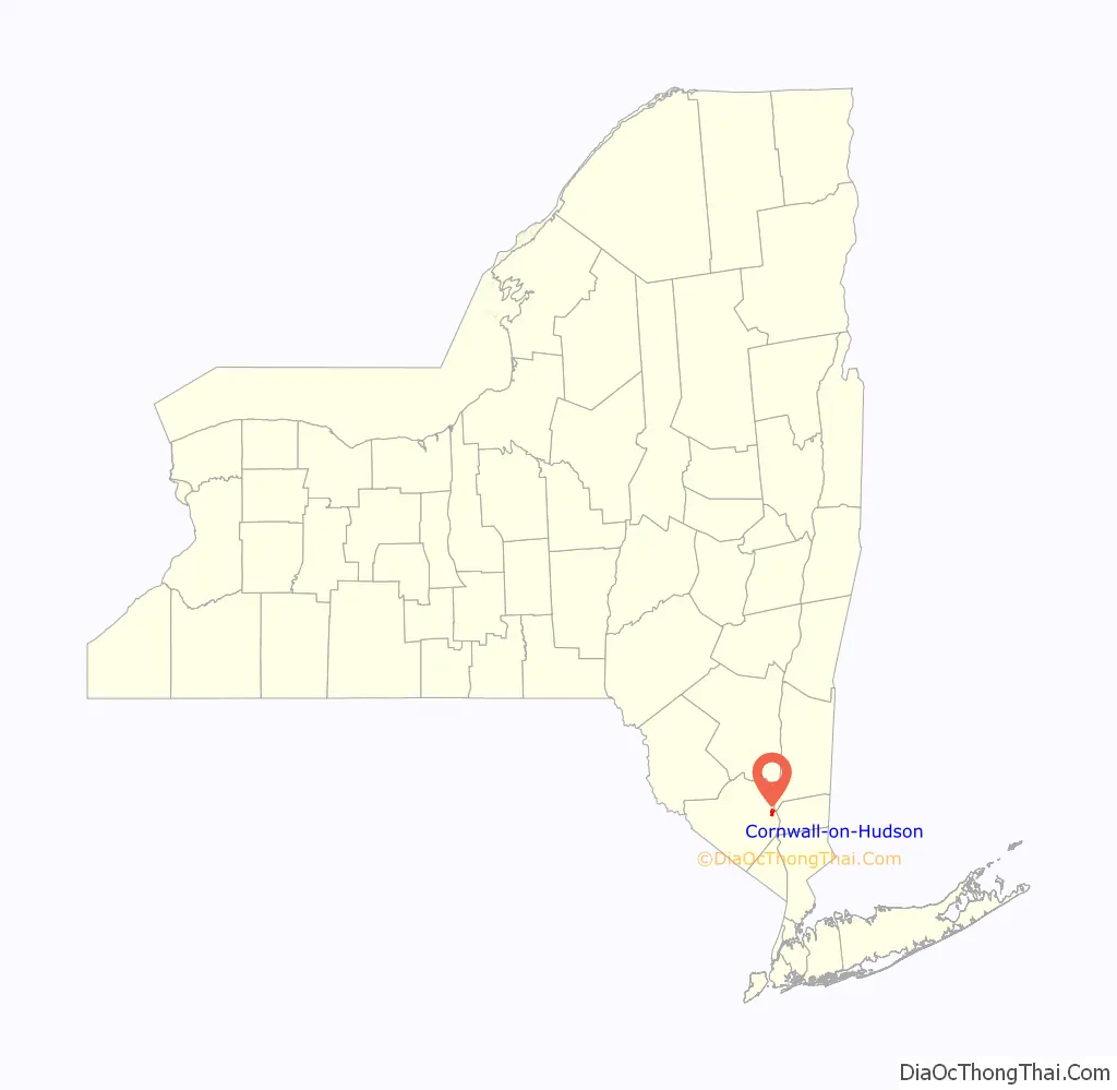
Cornwall-on-Hudson location map. Where is Cornwall-on-Hudson village?
History
The village was part of the Governor Dongan tract of 1685. Willisville was an early name for Cornwall-on-Hudson. Settlement in the area occurred at Cornwall Landing, a hamlet on the Hudson River below Butter Hill. It was the only river landing in the town. In the early 1800s, Daniel Tobias sailed a sloop from Cornwall Landing. As there was no direct communication between the river and the table-land above, in 1807, his brother, Isaac S. Tobias, built a road, at his own expense, as far as the first bridge on the road to Willisville. The Mead and Taft Company lumberyard once employed 500 people at the Landing. Cornwall Landing became a commercial hub with its own post office. The Landing began to decline after World War II when passenger train service ended, and Conrail demolished the buildings. Cornwall-on-Hudson incorporated as a village in December 1884, within the Town of Cornwall.
Historic places
The Amelia Barr House, also known as “Cherry Croft”, is located on Mountain Road in Cornwall-on-Hudson, on the slopes of Storm King Mountain. Barr, an American writer born in the 19th century, lived here during the most prolific and successful period of her career. In 1982 it was added to the National Register of Historic Places.
Camp Olmsted is a summer camping facility in Cornwall-on-Hudson, New York, operated by the Five Points Mission, a Methodist organization. It is located along Bayview Avenue, NY-218, near Storm King Mountain. It was founded in 1901. Siblings Sarah and John Olmsted donated the 21-acre (8 ha) parcel. Campers would take the Hudson River Day Line ferry from the city to Cornwall and then proceed to the camp. In 1966 the New York City Society took a role in operating the camp. The camp was added to the National Register of Historic Places in 1982.
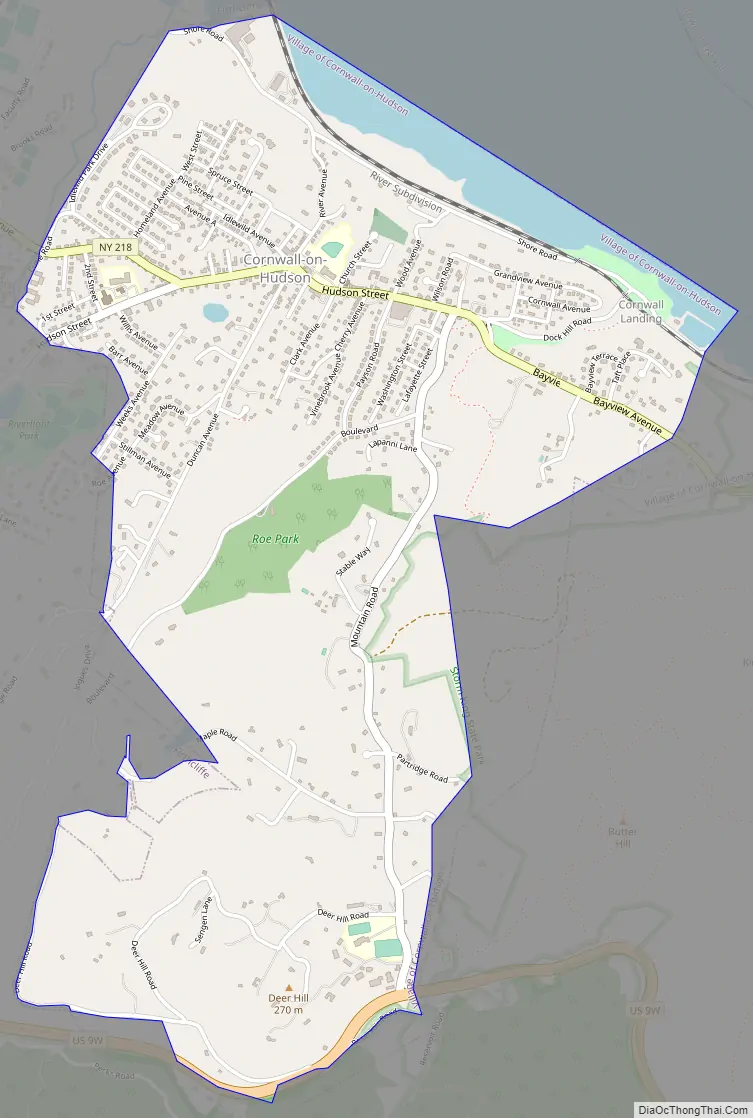
Cornwall-on-Hudson Road Map
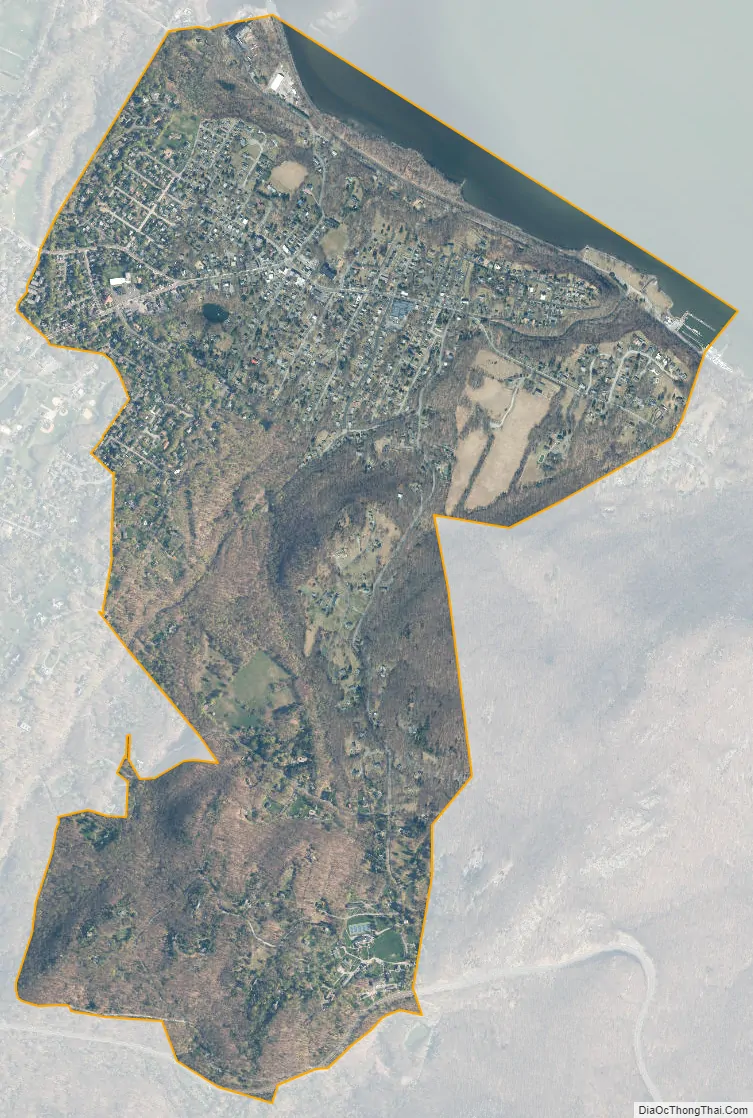
Cornwall-on-Hudson city Satellite Map
Geography
According to the United States Census Bureau, the village has a total area of 2.1 square miles (5.4 km), of which 2.0 square miles (5.2 km) is land and 0.1 square miles (0.26 km) (5.31%) is water. The zip code is 12520. Located just 50 miles (80 km) north of New York City, the village borders the western shore of the Hudson River. It is one of the most affluent communities in the Orange County area. While the village is primarily residential, it has a small commercial center and many riverfront homes adjacent to Donahue Memorial Park, formerly known as Cornwall Landing. NY-218 passes through the village and US Route 9W passes through the Town of Cornwall west of the village. Storm King State Park lies south of the village, and, below that, the United States Military Academy.
See also
Map of New York State and its subdivision:- Albany
- Allegany
- Bronx
- Broome
- Cattaraugus
- Cayuga
- Chautauqua
- Chemung
- Chenango
- Clinton
- Columbia
- Cortland
- Delaware
- Dutchess
- Erie
- Essex
- Franklin
- Fulton
- Genesee
- Greene
- Hamilton
- Herkimer
- Jefferson
- Kings
- Lake Ontario
- Lewis
- Livingston
- Madison
- Monroe
- Montgomery
- Nassau
- New York
- Niagara
- Oneida
- Onondaga
- Ontario
- Orange
- Orleans
- Oswego
- Otsego
- Putnam
- Queens
- Rensselaer
- Richmond
- Rockland
- Saint Lawrence
- Saratoga
- Schenectady
- Schoharie
- Schuyler
- Seneca
- Steuben
- Suffolk
- Sullivan
- Tioga
- Tompkins
- Ulster
- Warren
- Washington
- Wayne
- Westchester
- Wyoming
- Yates
- Alabama
- Alaska
- Arizona
- Arkansas
- California
- Colorado
- Connecticut
- Delaware
- District of Columbia
- Florida
- Georgia
- Hawaii
- Idaho
- Illinois
- Indiana
- Iowa
- Kansas
- Kentucky
- Louisiana
- Maine
- Maryland
- Massachusetts
- Michigan
- Minnesota
- Mississippi
- Missouri
- Montana
- Nebraska
- Nevada
- New Hampshire
- New Jersey
- New Mexico
- New York
- North Carolina
- North Dakota
- Ohio
- Oklahoma
- Oregon
- Pennsylvania
- Rhode Island
- South Carolina
- South Dakota
- Tennessee
- Texas
- Utah
- Vermont
- Virginia
- Washington
- West Virginia
- Wisconsin
- Wyoming


