Chester is a village in Orange County, New York, United States. The population was 3,993 at the 2020 census. It was named after the City of Chester in the Cheshire region of northwest England. Chester is part of the Poughkeepsie–Newburgh–Middletown, NY Metropolitan Statistical Area as well as the larger New York–Newark–Bridgeport, NY-NJ–CT–PA Combined Statistical Area.
The Village of Chester is primarily located in the northern part of the Town of Chester.
| Name: | Chester village |
|---|---|
| LSAD Code: | 47 |
| LSAD Description: | village (suffix) |
| State: | New York |
| County: | Orange County |
| Founded: | 1892 |
| Total Area: | 2.15 sq mi (5.56 km²) |
| Land Area: | 2.15 sq mi (5.56 km²) |
| Water Area: | 0.00 sq mi (0.00 km²) |
| Total Population: | 3,993 |
| Population Density: | 1,858.94/sq mi (717.67/km²) |
| ZIP code: | 10918 |
| Area code: | 845 |
| FIPS code: | 3615297 |
| GNISfeature ID: | 0946539 |
Online Interactive Map
Click on ![]() to view map in "full screen" mode.
to view map in "full screen" mode.
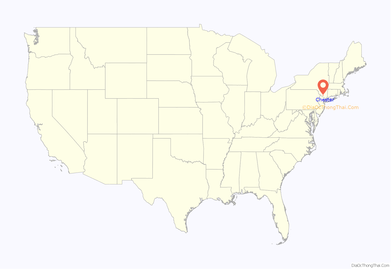
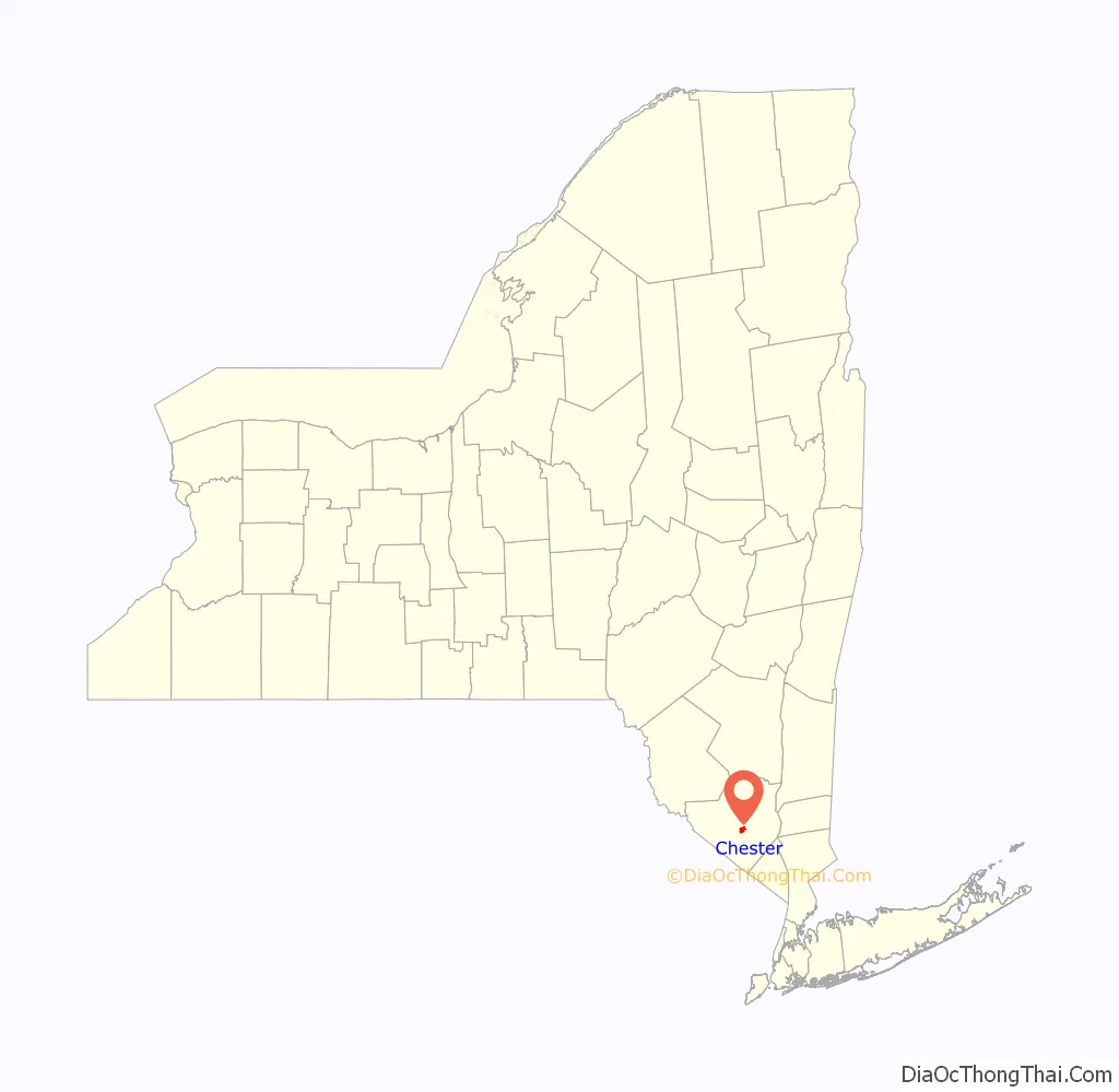
Chester location map. Where is Chester village?
History
The village of Chester was incorporated in 1892. At the center of a dairy industry, the village claims to be the birthplace of Philadelphia Cream Cheese. Other brands produced in Chester were Clover Brand, Cow Brand, D’isigny, Fromage De Brie, Neufchatel, Star Brand and World Brand.
The village of Chester contains a historic section called Downtown Historic Chester. The Orange Heritage rail trail begins here at the site of the former Erie Railroad train station.
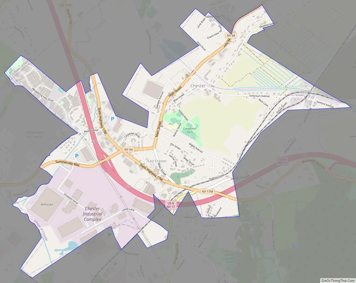
Chester Road Map
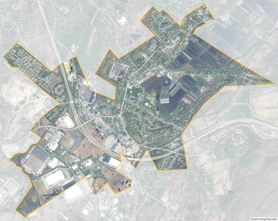
Chester city Satellite Map
Geography
The village of Chester is located at 41°21′26″N 74°16′31″W / 41.35722°N 74.27528°W / 41.35722; -74.27528 (41.357378, -74.275488). and has a total area of 2.1 square miles (5.5 km), all land.
Highway access is provided by NY-94. Goose Pond Mountain State Park is southeast of the village.
See also
Map of New York State and its subdivision:- Albany
- Allegany
- Bronx
- Broome
- Cattaraugus
- Cayuga
- Chautauqua
- Chemung
- Chenango
- Clinton
- Columbia
- Cortland
- Delaware
- Dutchess
- Erie
- Essex
- Franklin
- Fulton
- Genesee
- Greene
- Hamilton
- Herkimer
- Jefferson
- Kings
- Lake Ontario
- Lewis
- Livingston
- Madison
- Monroe
- Montgomery
- Nassau
- New York
- Niagara
- Oneida
- Onondaga
- Ontario
- Orange
- Orleans
- Oswego
- Otsego
- Putnam
- Queens
- Rensselaer
- Richmond
- Rockland
- Saint Lawrence
- Saratoga
- Schenectady
- Schoharie
- Schuyler
- Seneca
- Steuben
- Suffolk
- Sullivan
- Tioga
- Tompkins
- Ulster
- Warren
- Washington
- Wayne
- Westchester
- Wyoming
- Yates
- Alabama
- Alaska
- Arizona
- Arkansas
- California
- Colorado
- Connecticut
- Delaware
- District of Columbia
- Florida
- Georgia
- Hawaii
- Idaho
- Illinois
- Indiana
- Iowa
- Kansas
- Kentucky
- Louisiana
- Maine
- Maryland
- Massachusetts
- Michigan
- Minnesota
- Mississippi
- Missouri
- Montana
- Nebraska
- Nevada
- New Hampshire
- New Jersey
- New Mexico
- New York
- North Carolina
- North Dakota
- Ohio
- Oklahoma
- Oregon
- Pennsylvania
- Rhode Island
- South Carolina
- South Dakota
- Tennessee
- Texas
- Utah
- Vermont
- Virginia
- Washington
- West Virginia
- Wisconsin
- Wyoming


