Cortland West is a census-designated place and region in Cortland County, New York, United States. The population was 1,356 at the 2010 census.
The area known as Cortland West is in the town of Cortlandville, on the west side of the city of Cortland.
| Name: | Cortland West CDP |
|---|---|
| LSAD Code: | 57 |
| LSAD Description: | CDP (suffix) |
| State: | New York |
| County: | Cortland County |
| Elevation: | 1,205 ft (367 m) |
| Total Area: | 5.17 sq mi (13.38 km²) |
| Land Area: | 5.17 sq mi (13.38 km²) |
| Water Area: | 0.00 sq mi (0.00 km²) |
| Total Population: | 1,286 |
| Population Density: | 248.94/sq mi (96.12/km²) |
| FIPS code: | 3618443 |
Online Interactive Map
Click on ![]() to view map in "full screen" mode.
to view map in "full screen" mode.
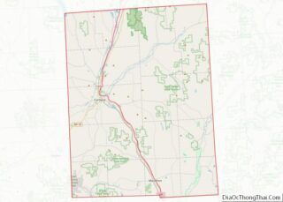
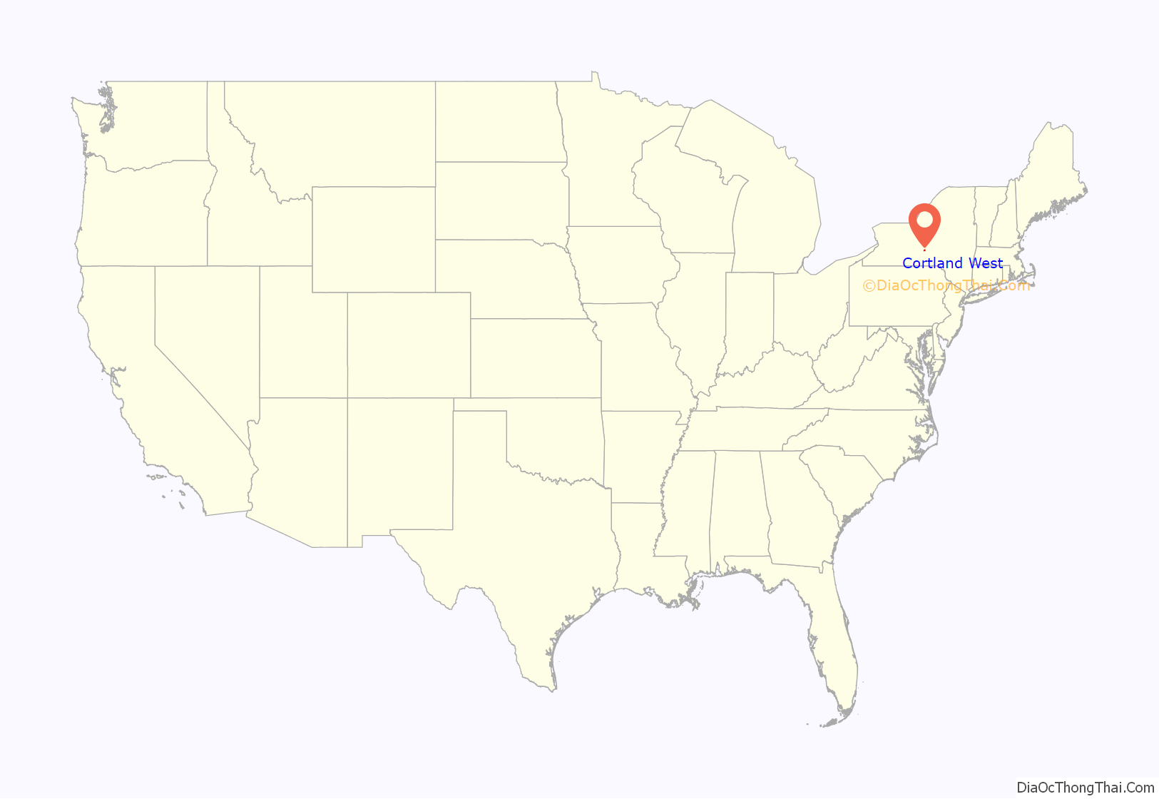
Cortland West location map. Where is Cortland West CDP?
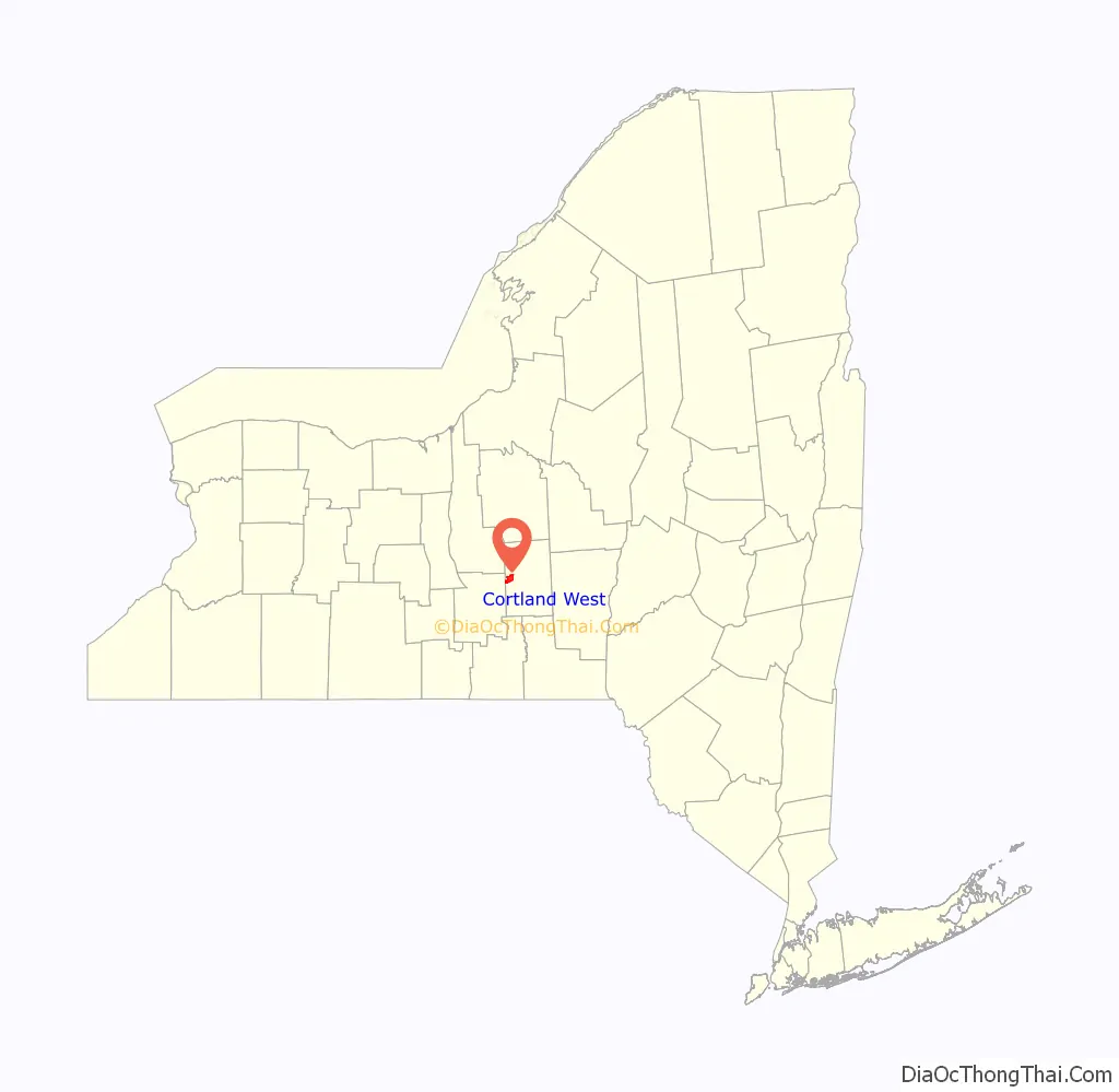
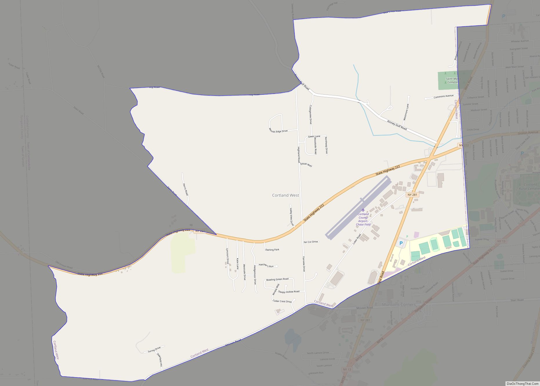
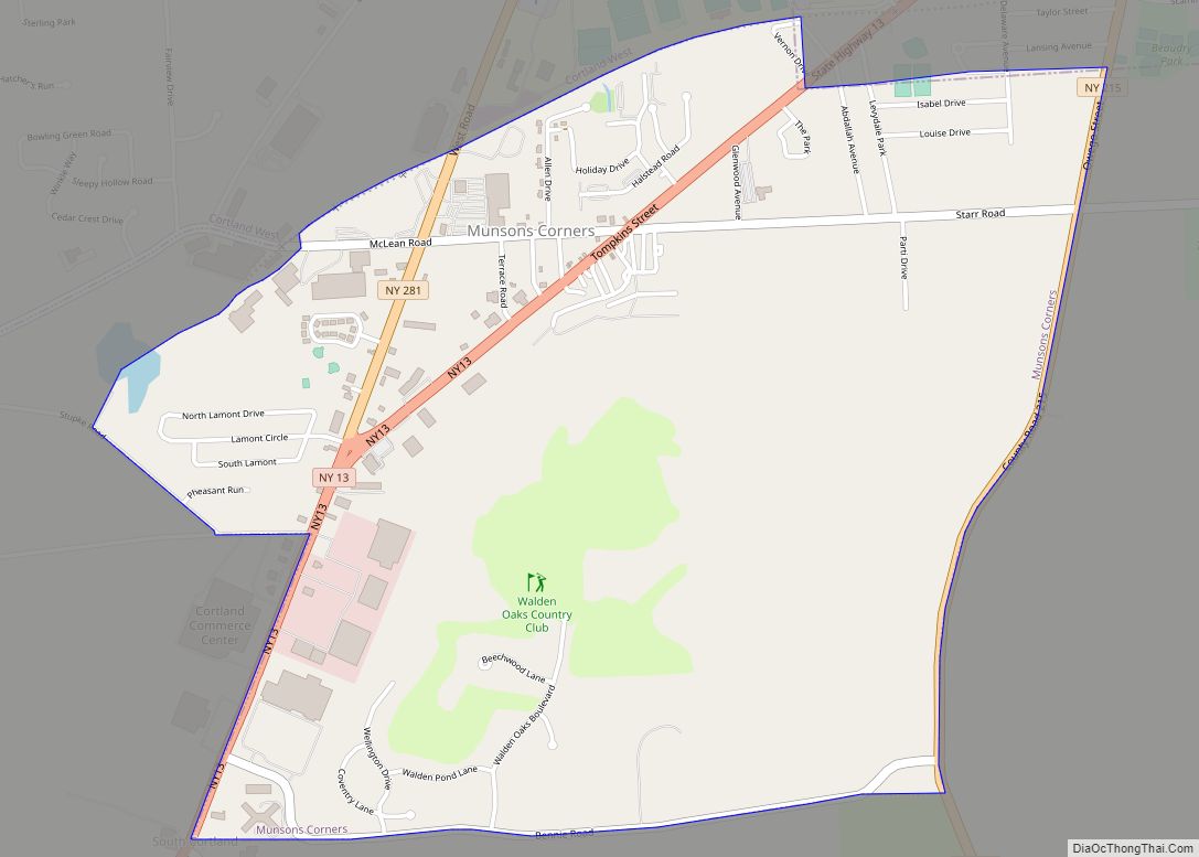
Cortland West Road Map
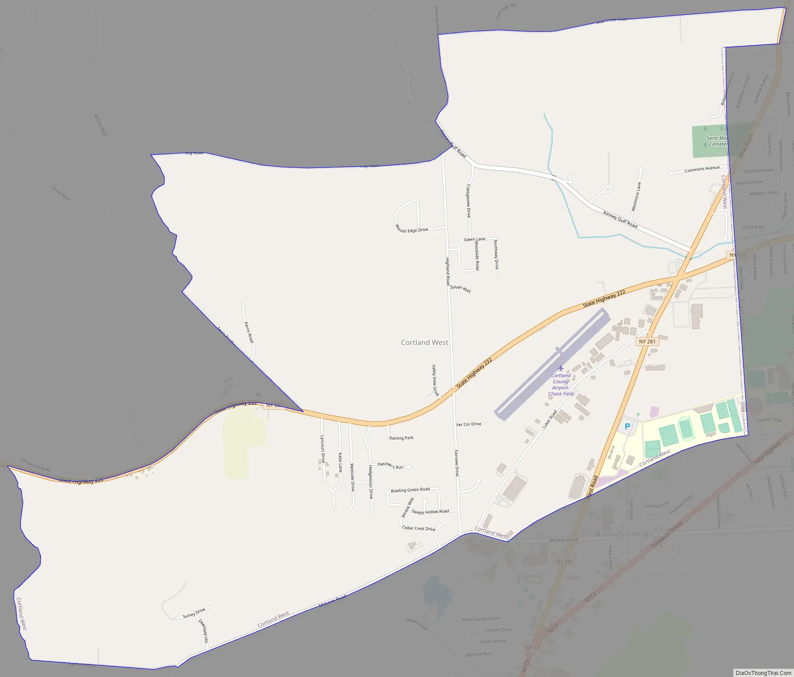
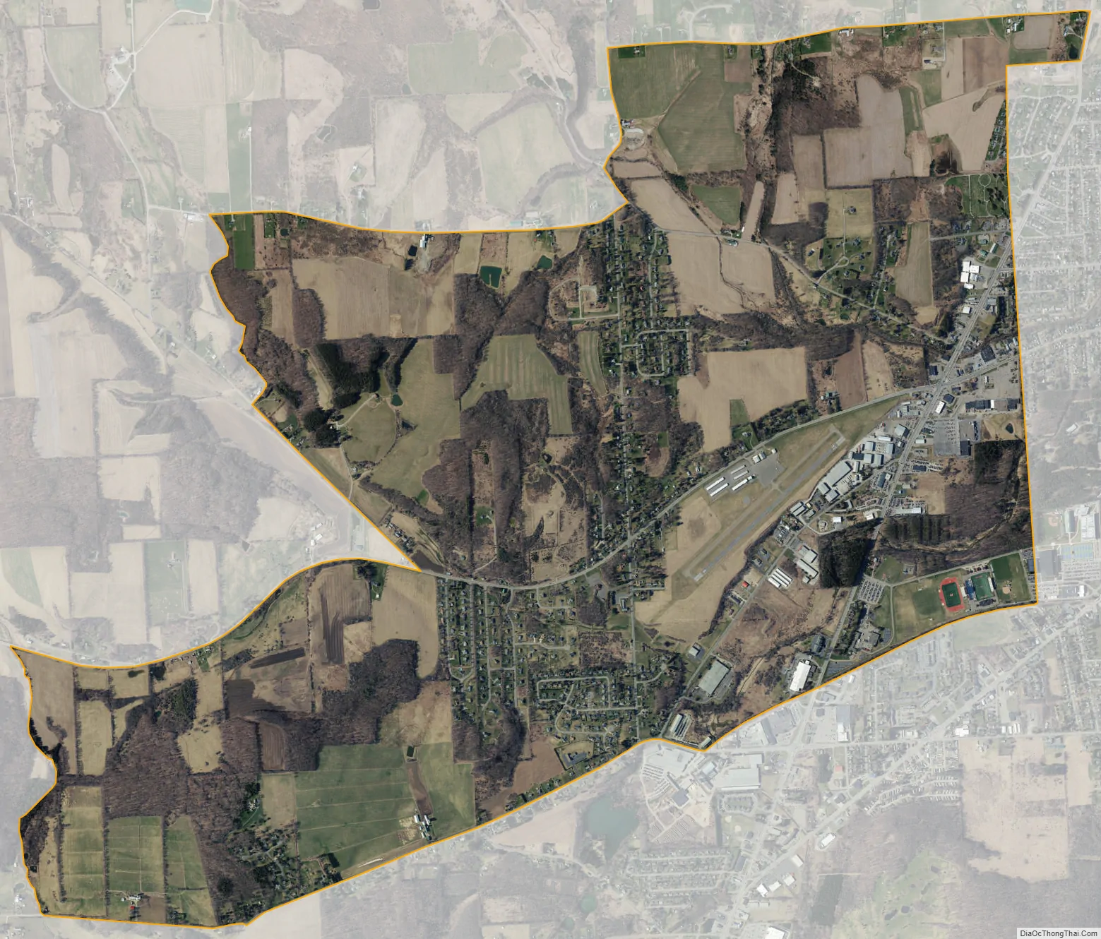
Cortland West city Satellite Map
Geography
Cortland West is located at 42°35′30″N 76°13′12″W / 42.591639°N 76.220021°W / 42.591639; -76.220021. It is bordered to the east by the city of Cortland, to the south by unincorporated Munsons Corners, to the west by the town of Groton in Tompkins County, and to the north by rural parts of the town of Cortlandville.
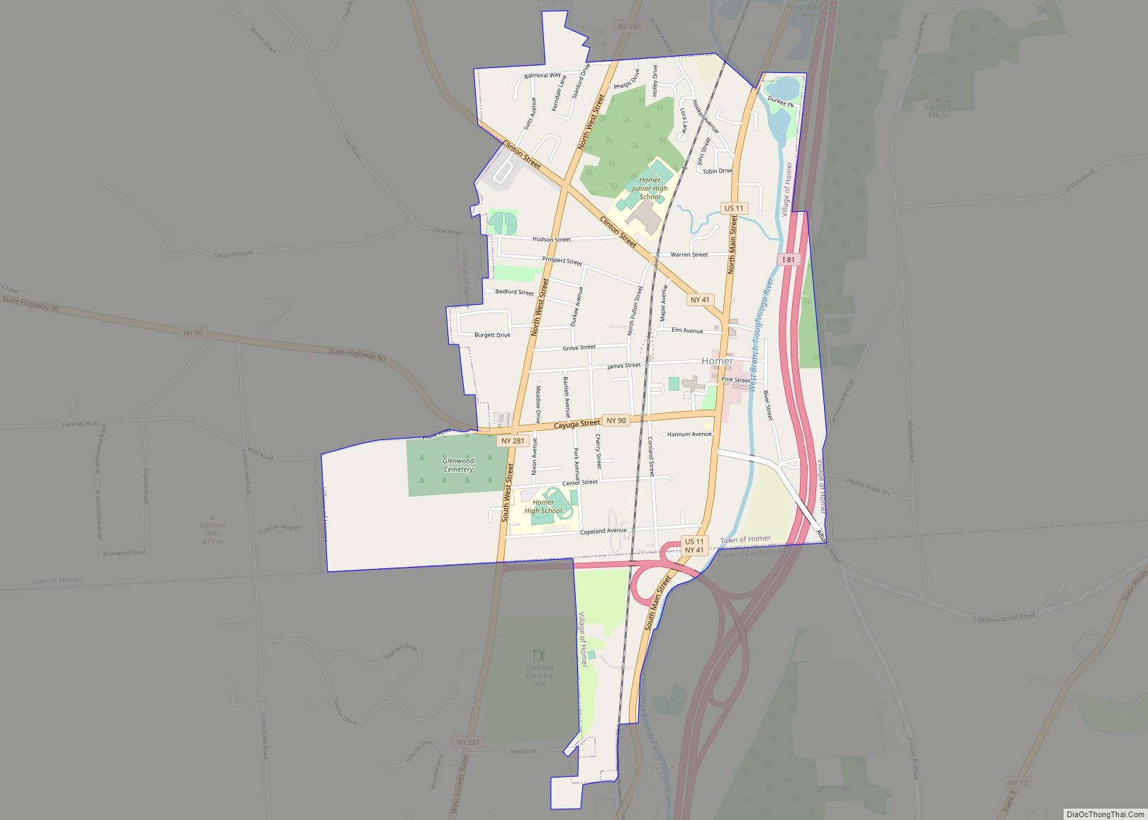
New York State Route 222 passes through the center of the Cortland West area, leading east into Cortland city and west 8 miles (13 km) to Groton village. NY-281 crosses NY-222 in the eastern part of Cortland West, leading north 2.5 miles (4.0 km) to the village of Homer and south into Munsons Corners, where it ends at NY-13. Cortland County Airport, serving the Cortland region, is located in the eastern part of the CDP.
According to the United States Census Bureau, the Cortland West CDP has a total area of 5.2 square miles (13.4 km), all land.
See also
Map of New York State and its subdivision:- Albany
- Allegany
- Bronx
- Broome
- Cattaraugus
- Cayuga
- Chautauqua
- Chemung
- Chenango
- Clinton
- Columbia
- Cortland
- Delaware
- Dutchess
- Erie
- Essex
- Franklin
- Fulton
- Genesee
- Greene
- Hamilton
- Herkimer
- Jefferson
- Kings
- Lake Ontario
- Lewis
- Livingston
- Madison
- Monroe
- Montgomery
- Nassau
- New York
- Niagara
- Oneida
- Onondaga
- Ontario
- Orange
- Orleans
- Oswego
- Otsego
- Putnam
- Queens
- Rensselaer
- Richmond
- Rockland
- Saint Lawrence
- Saratoga
- Schenectady
- Schoharie
- Schuyler
- Seneca
- Steuben
- Suffolk
- Sullivan
- Tioga
- Tompkins
- Ulster
- Warren
- Washington
- Wayne
- Westchester
- Wyoming
- Yates
- Alabama
- Alaska
- Arizona
- Arkansas
- California
- Colorado
- Connecticut
- Delaware
- District of Columbia
- Florida
- Georgia
- Hawaii
- Idaho
- Illinois
- Indiana
- Iowa
- Kansas
- Kentucky
- Louisiana
- Maine
- Maryland
- Massachusetts
- Michigan
- Minnesota
- Mississippi
- Missouri
- Montana
- Nebraska
- Nevada
- New Hampshire
- New Jersey
- New Mexico
- New York
- North Carolina
- North Dakota
- Ohio
- Oklahoma
- Oregon
- Pennsylvania
- Rhode Island
- South Carolina
- South Dakota
- Tennessee
- Texas
- Utah
- Vermont
- Virginia
- Washington
- West Virginia
- Wisconsin
- Wyoming