Country Knolls is a census-designated place (CDP) in Saratoga County, New York, United States. The population was 2,224 at the 2010 census.
| Name: | Country Knolls CDP |
|---|---|
| LSAD Code: | 57 |
| LSAD Description: | CDP (suffix) |
| State: | New York |
| County: | Saratoga County |
| Elevation: | 282 ft (86 m) |
| Total Area: | 3.42 sq mi (8.87 km²) |
| Land Area: | 3.42 sq mi (8.87 km²) |
| Water Area: | 0.00 sq mi (0.00 km²) |
| Total Population: | 5,349 |
| Population Density: | 1,562.21/sq mi (603.09/km²) |
| FIPS code: | 3618542 |
| GNISfeature ID: | 1867396 |
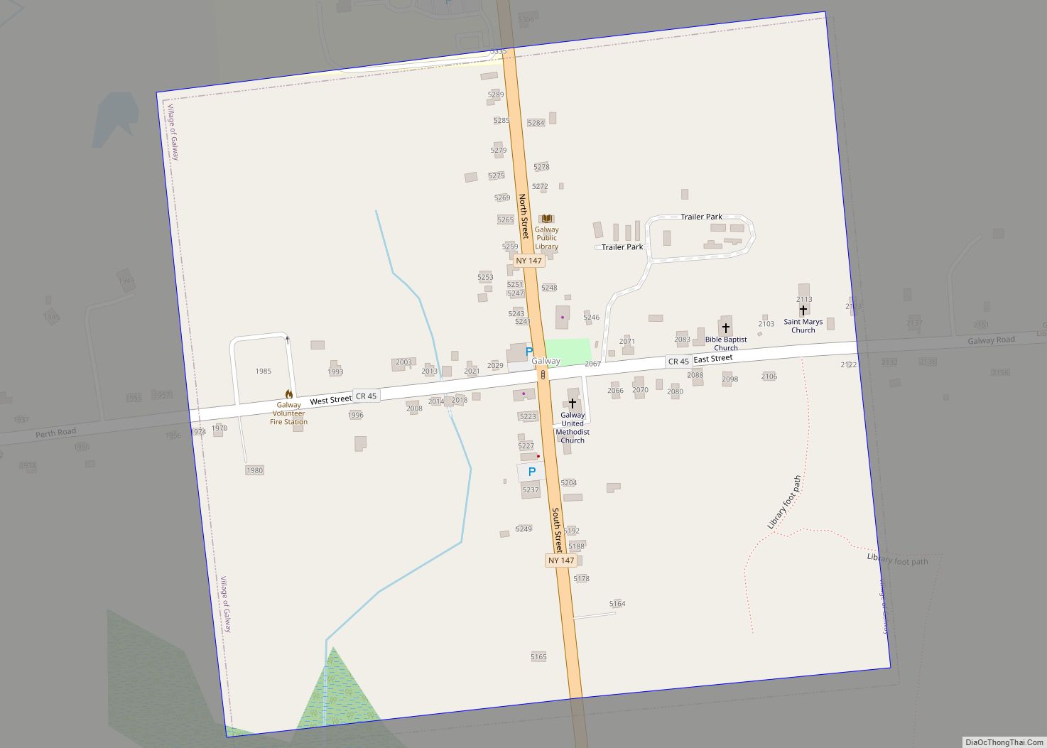
Online Interactive Map
Click on ![]() to view map in "full screen" mode.
to view map in "full screen" mode.
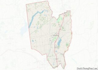
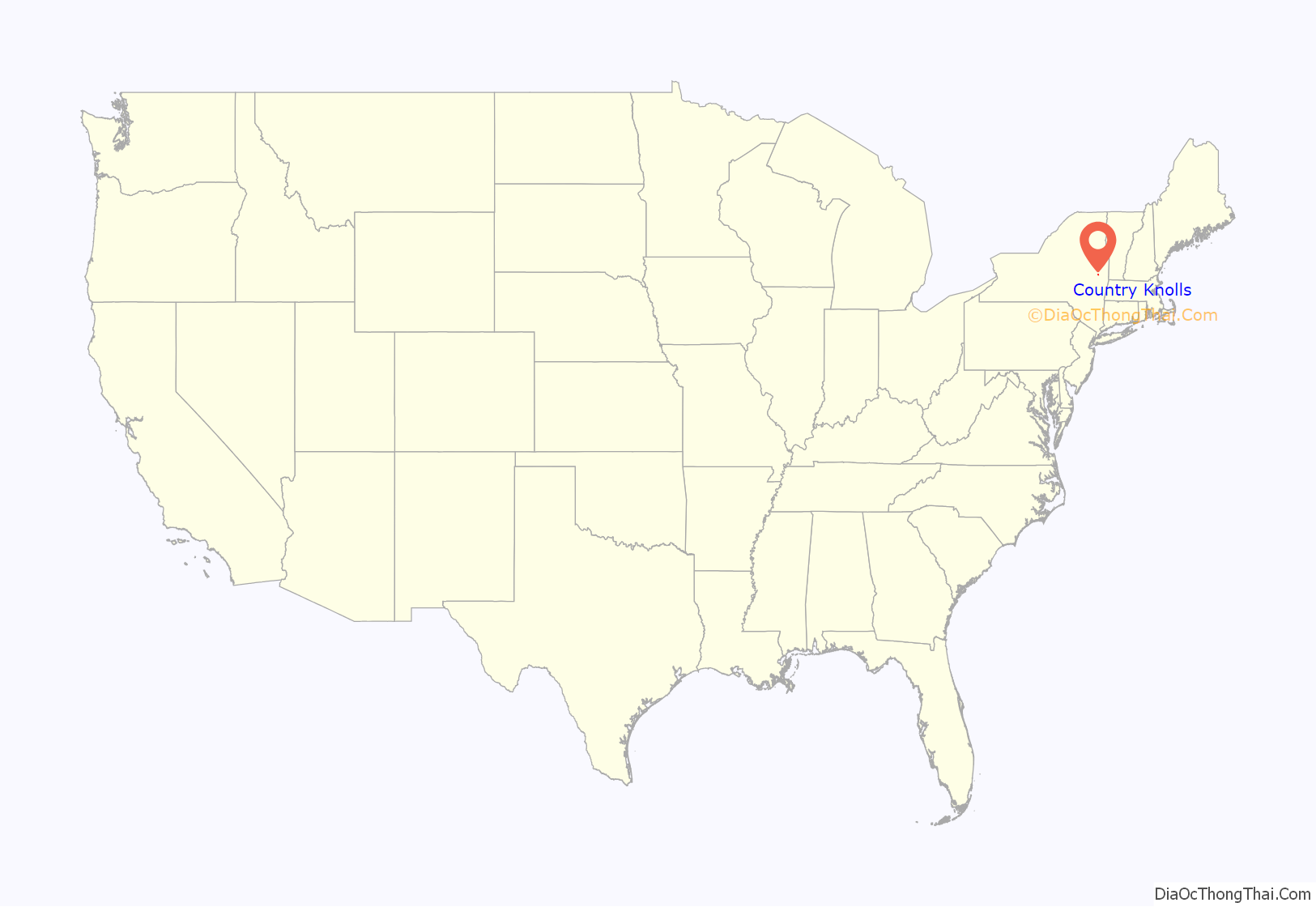
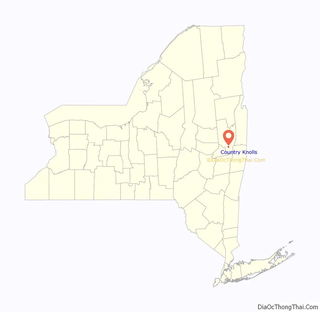
Country Knolls location map. Where is Country Knolls CDP?
History
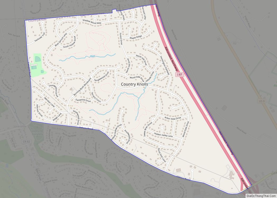
The Country Knolls CDP is part of the “Country Knolls Estates” housing development. The area is sometimes also referred to as “Country Knolls North” or as the “original” Country Knolls to clarify it from a similar housing development called “Country Knolls South” that was built later a few miles south of Country Knolls. The census-designated place Country Knolls is within and is smaller than the larger Country Knolls Estates. Country Knolls (North), Country Knolls South, Country Knolls West, and the earlier Clifton Knolls were built by the local Clifton Park housing development company owned by Robert Van Patten.
The Country Knolls Civic Association has a description of the development and growth of the original Country Knolls from its initial homes built on Hillcrest Drive, Meridian Lane, Ridge Lane, and Manor Court in 1964, to the expansion of Country Knolls into the town of Malta, and the later addition of homes in 1988/89 on previously untouched land in the middle of Country Knolls in 1988 on the new Huntington Parkway. The housing development Country Knolls also includes adjacent homes in the “Longkill” and “Ashley” sections that are separated from the main development by Longkill Road and Ushers Road, respectively.
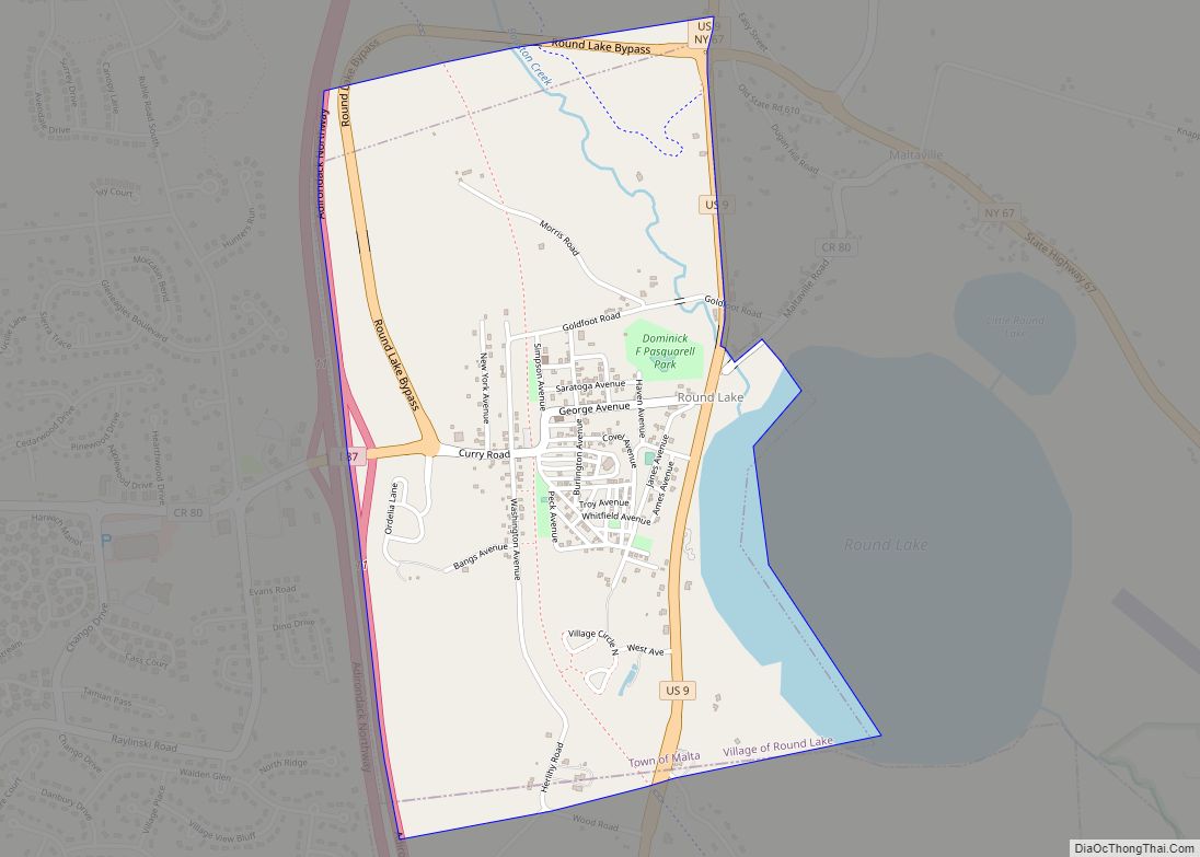
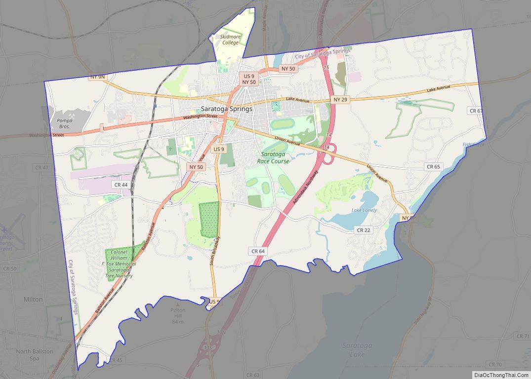
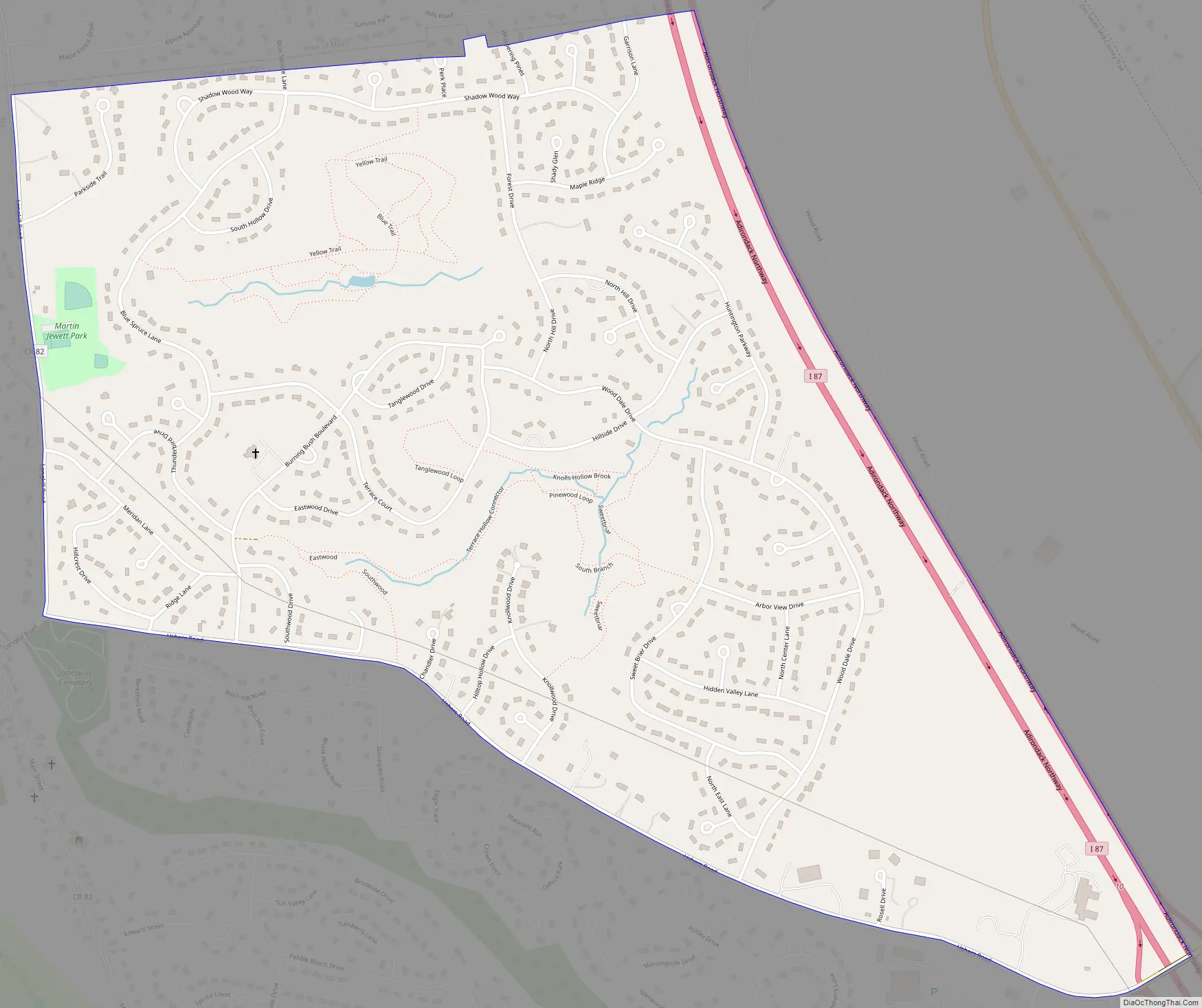
Country Knolls Road Map
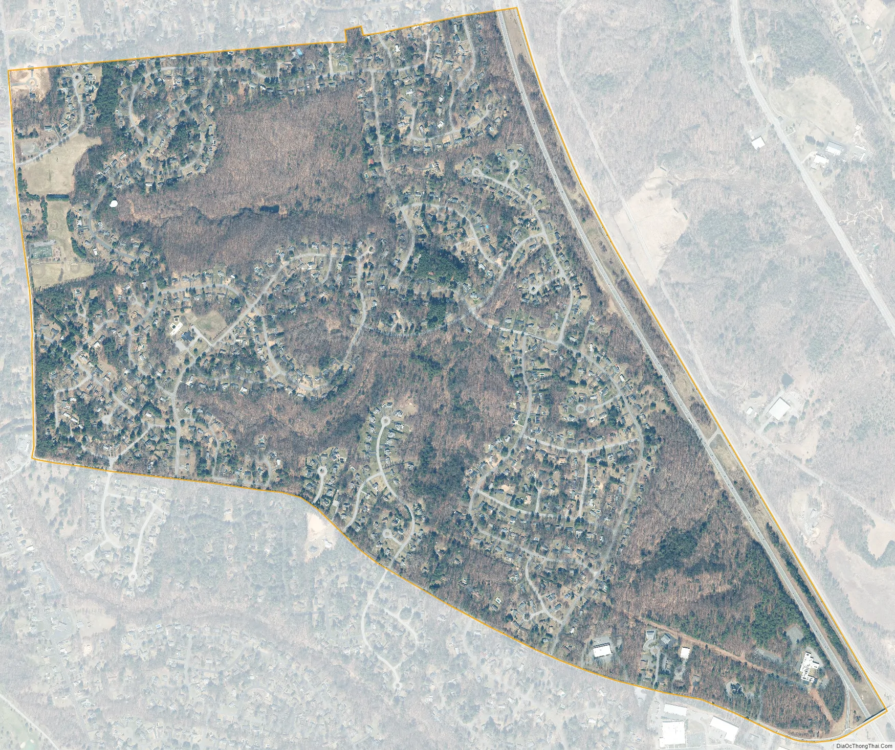
Country Knolls city Satellite Map
Geography
Country Knolls is located at 42°54′52″N 73°48′35″W / 42.91444°N 73.80972°W / 42.91444; -73.80972 (42.914376, -73.809651). According to the United States Census Bureau, the community has a total area of 1.6 square miles (4.1 km), all land.
See also
Map of New York State and its subdivision:- Albany
- Allegany
- Bronx
- Broome
- Cattaraugus
- Cayuga
- Chautauqua
- Chemung
- Chenango
- Clinton
- Columbia
- Cortland
- Delaware
- Dutchess
- Erie
- Essex
- Franklin
- Fulton
- Genesee
- Greene
- Hamilton
- Herkimer
- Jefferson
- Kings
- Lake Ontario
- Lewis
- Livingston
- Madison
- Monroe
- Montgomery
- Nassau
- New York
- Niagara
- Oneida
- Onondaga
- Ontario
- Orange
- Orleans
- Oswego
- Otsego
- Putnam
- Queens
- Rensselaer
- Richmond
- Rockland
- Saint Lawrence
- Saratoga
- Schenectady
- Schoharie
- Schuyler
- Seneca
- Steuben
- Suffolk
- Sullivan
- Tioga
- Tompkins
- Ulster
- Warren
- Washington
- Wayne
- Westchester
- Wyoming
- Yates
- Alabama
- Alaska
- Arizona
- Arkansas
- California
- Colorado
- Connecticut
- Delaware
- District of Columbia
- Florida
- Georgia
- Hawaii
- Idaho
- Illinois
- Indiana
- Iowa
- Kansas
- Kentucky
- Louisiana
- Maine
- Maryland
- Massachusetts
- Michigan
- Minnesota
- Mississippi
- Missouri
- Montana
- Nebraska
- Nevada
- New Hampshire
- New Jersey
- New Mexico
- New York
- North Carolina
- North Dakota
- Ohio
- Oklahoma
- Oregon
- Pennsylvania
- Rhode Island
- South Carolina
- South Dakota
- Tennessee
- Texas
- Utah
- Vermont
- Virginia
- Washington
- West Virginia
- Wisconsin
- Wyoming