Cragsmoor is a hamlet (and census-designated place) in Ulster County, New York, United States. The population was 433 at the 2020 census.
Cragsmoor is located atop the Shawangunk Ridge, in the south part of the Town of Wawarsing. Sam’s Point Preserve is in Cragsmoor.
| Name: | Cragsmoor CDP |
|---|---|
| LSAD Code: | 57 |
| LSAD Description: | CDP (suffix) |
| State: | New York |
| County: | Ulster County |
| Elevation: | 1,864 ft (568 m) |
| Total Area: | 4.36 sq mi (11.30 km²) |
| Land Area: | 4.36 sq mi (11.30 km²) |
| Water Area: | 0.00 sq mi (0.00 km²) |
| Total Population: | 433 |
| Population Density: | 99.27/sq mi (38.33/km²) |
| ZIP code: | 12420 |
| Area code: | 845 |
| FIPS code: | 3618762 |
| GNISfeature ID: | 0947634 |
Online Interactive Map
Click on ![]() to view map in "full screen" mode.
to view map in "full screen" mode.
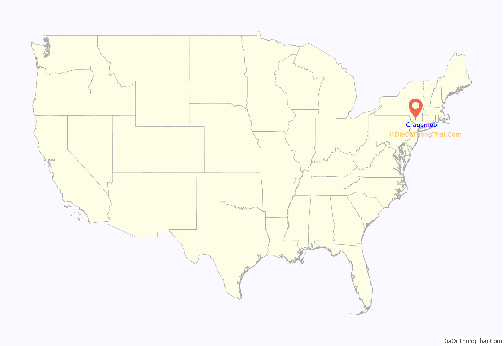
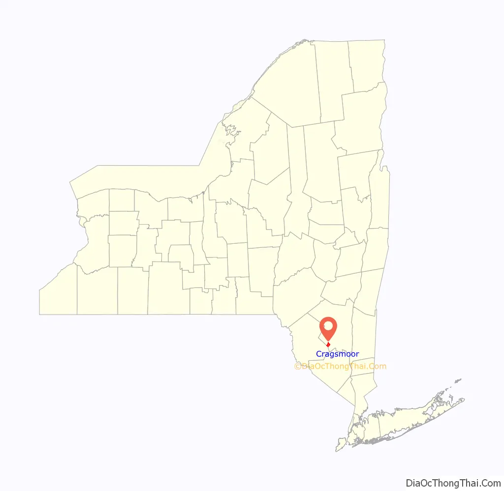
Cragsmoor location map. Where is Cragsmoor CDP?
History
Cragsmoor, originally named Evansville, was founded as an art colony in 1879, after being discovered by artists earlier in the decade. It was renamed to Cragsmoor in 1893.
Chetolah and the Cragsmoor Historic District are listed on the National Register of Historic Places.
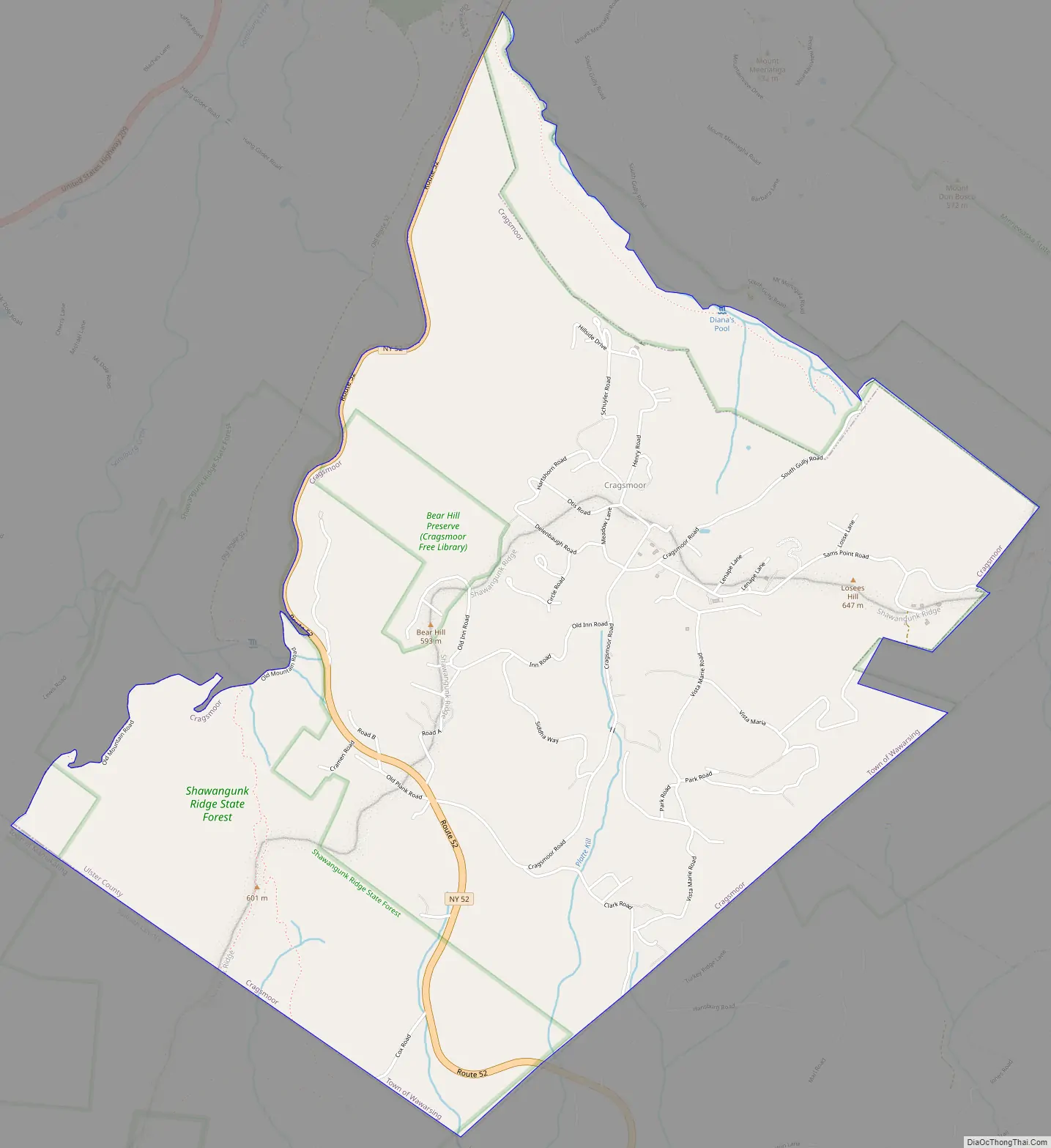
Cragsmoor Road Map
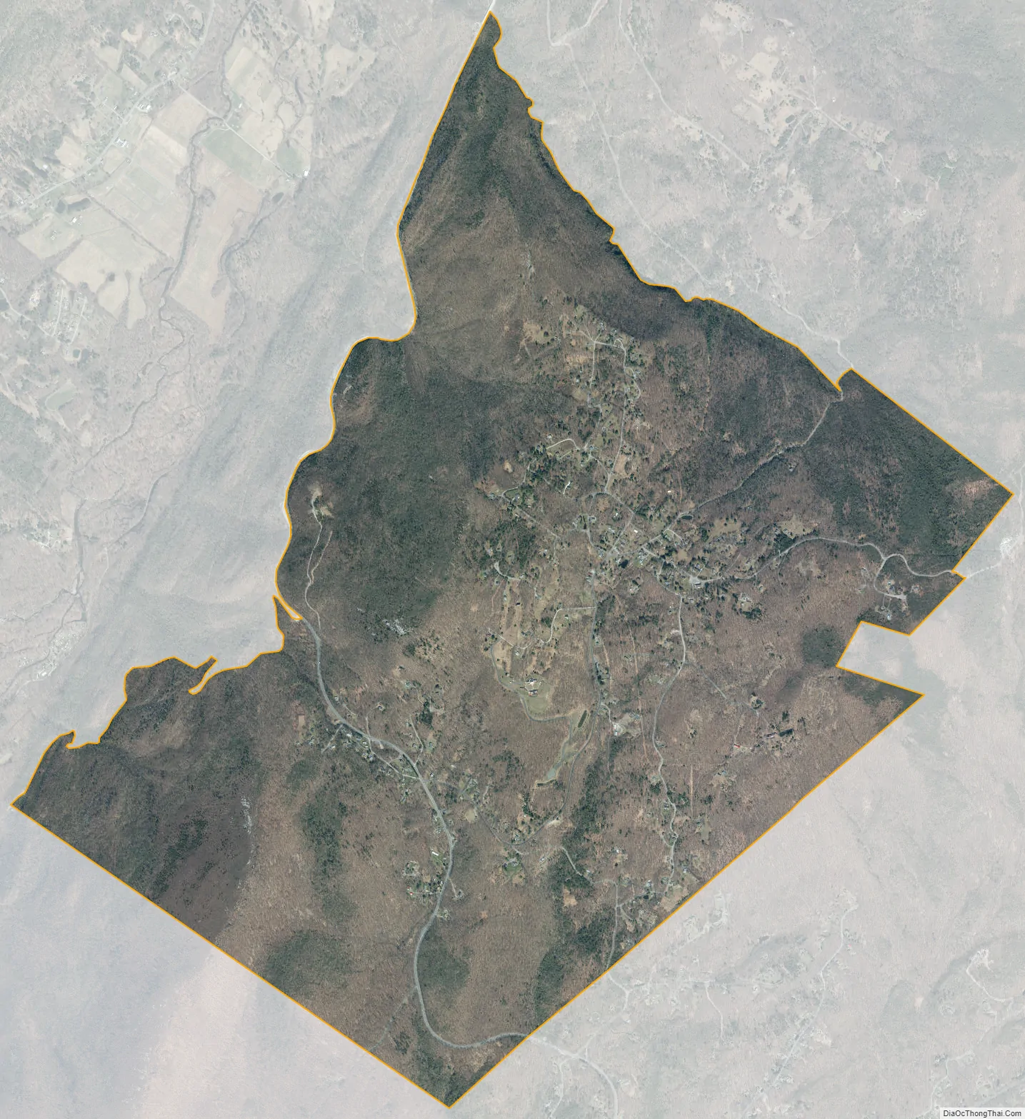
Cragsmoor city Satellite Map
Geography
According to the United States Census Bureau, the CDP has a total area of 4.4 square miles (11 km), all land.
The center of town is about 1,800 feet (548.6 m) above sea level, much higher than neighboring communities such as Ellenville and Walker Valley.
As a whole, the hamlet has a wooded, rustic ambience. Most homes are rather modest and old, but sit on large lots with many tall shade trees. There are also many large undeveloped woodlots, and thus property values in Cragsmoor are higher than in the rest of Wawarsing. Other than the post office, there is no business district to speak of.
In 1996 the 3,620 acres (14.6 km) comprising much of the hamlet’s center were added to the National Register of Historic Places as the Cragsmoor Historic District, due to buildings designed by Bert Goldsmith and Frederick S. Dellenbaugh.
The Long Path hiking trail passes through the center of town on its way to Sam’s Point.
See also
Map of New York State and its subdivision:- Albany
- Allegany
- Bronx
- Broome
- Cattaraugus
- Cayuga
- Chautauqua
- Chemung
- Chenango
- Clinton
- Columbia
- Cortland
- Delaware
- Dutchess
- Erie
- Essex
- Franklin
- Fulton
- Genesee
- Greene
- Hamilton
- Herkimer
- Jefferson
- Kings
- Lake Ontario
- Lewis
- Livingston
- Madison
- Monroe
- Montgomery
- Nassau
- New York
- Niagara
- Oneida
- Onondaga
- Ontario
- Orange
- Orleans
- Oswego
- Otsego
- Putnam
- Queens
- Rensselaer
- Richmond
- Rockland
- Saint Lawrence
- Saratoga
- Schenectady
- Schoharie
- Schuyler
- Seneca
- Steuben
- Suffolk
- Sullivan
- Tioga
- Tompkins
- Ulster
- Warren
- Washington
- Wayne
- Westchester
- Wyoming
- Yates
- Alabama
- Alaska
- Arizona
- Arkansas
- California
- Colorado
- Connecticut
- Delaware
- District of Columbia
- Florida
- Georgia
- Hawaii
- Idaho
- Illinois
- Indiana
- Iowa
- Kansas
- Kentucky
- Louisiana
- Maine
- Maryland
- Massachusetts
- Michigan
- Minnesota
- Mississippi
- Missouri
- Montana
- Nebraska
- Nevada
- New Hampshire
- New Jersey
- New Mexico
- New York
- North Carolina
- North Dakota
- Ohio
- Oklahoma
- Oregon
- Pennsylvania
- Rhode Island
- South Carolina
- South Dakota
- Tennessee
- Texas
- Utah
- Vermont
- Virginia
- Washington
- West Virginia
- Wisconsin
- Wyoming


