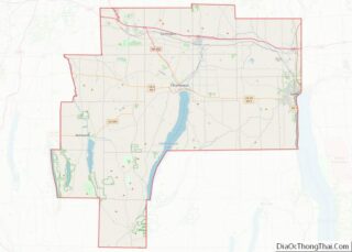
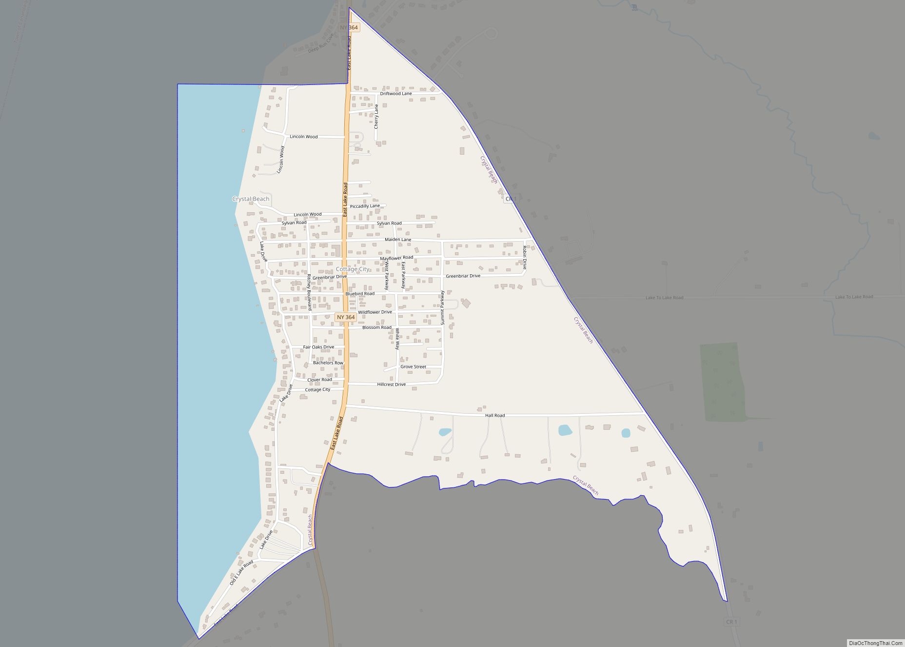
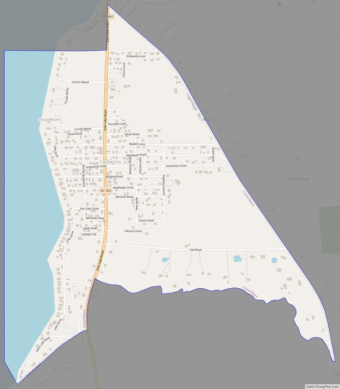
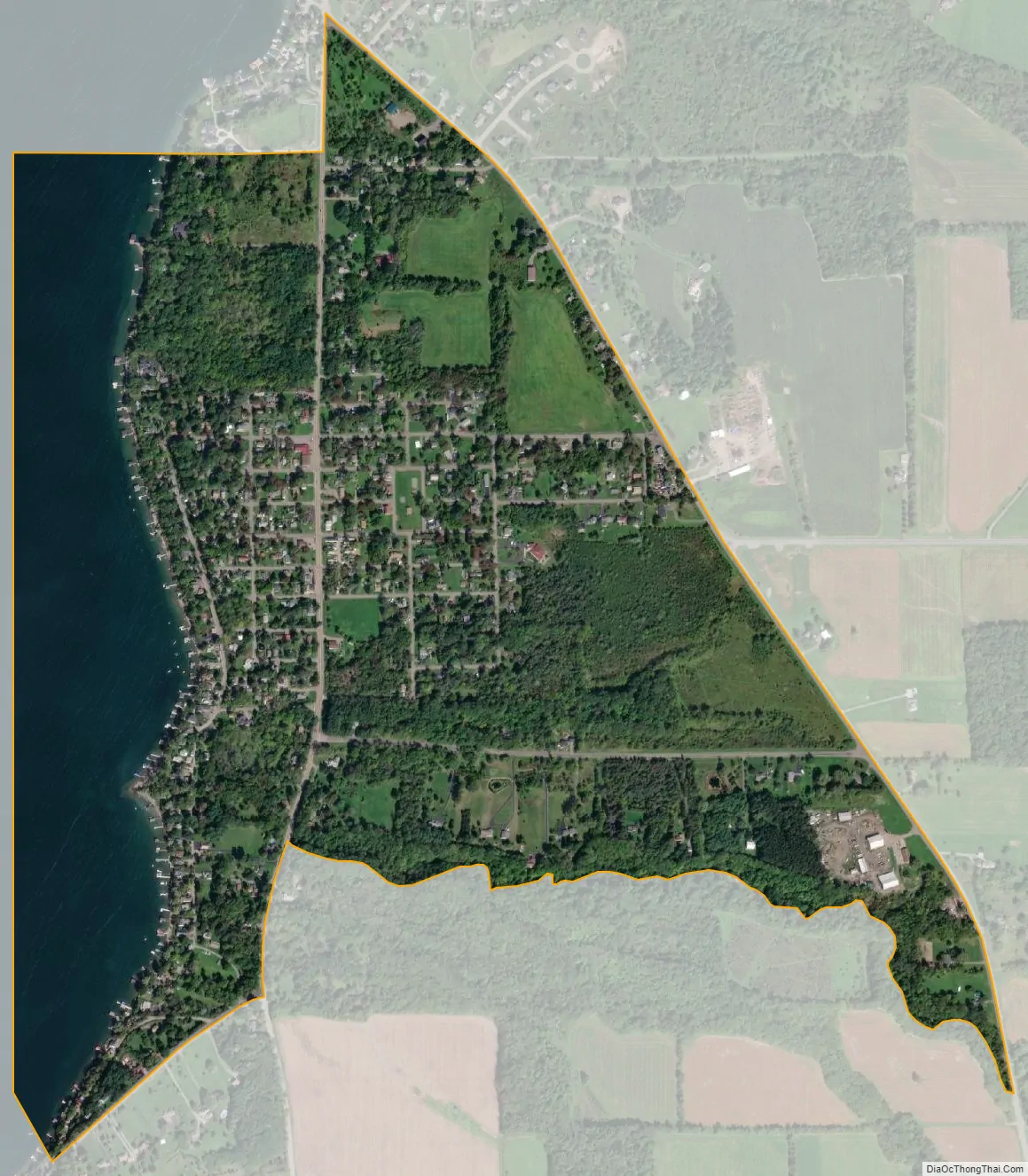
Crystal Beach is a hamlet (and census-designated place) in Ontario County, New York, United States. Its population was 644 as of the 2010 census. The community is located on the eastern shore of Canandaigua Lake and is served by New York State Route 364.
| Name: | Crystal Beach CDP |
|---|---|
| LSAD Code: | 57 |
| LSAD Description: | CDP (suffix) |
| State: | New York |
| County: | Ontario County |
| Elevation: | 699 ft (213 m) |
| Total Area: | 0.885 sq mi (2.29 km²) |
| Land Area: | 0.682 sq mi (1.77 km²) |
| Water Area: | 0.203 sq mi (0.53 km²) |
| Total Population: | 644 |
| Population Density: | 730/sq mi (280/km²) |
| Area code: | 585 |
| FIPS code: | 3619308 |
| GNISfeature ID: | 947884 |
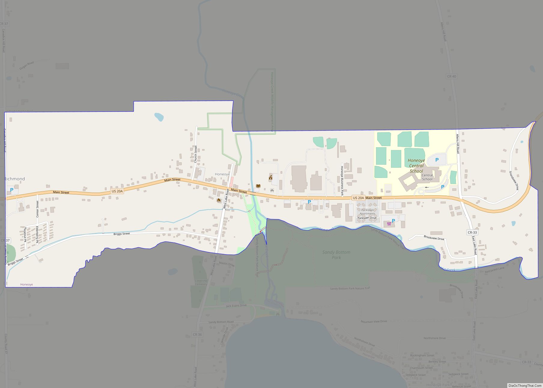
Online Interactive Map
Click on ![]() to view map in "full screen" mode.
to view map in "full screen" mode.
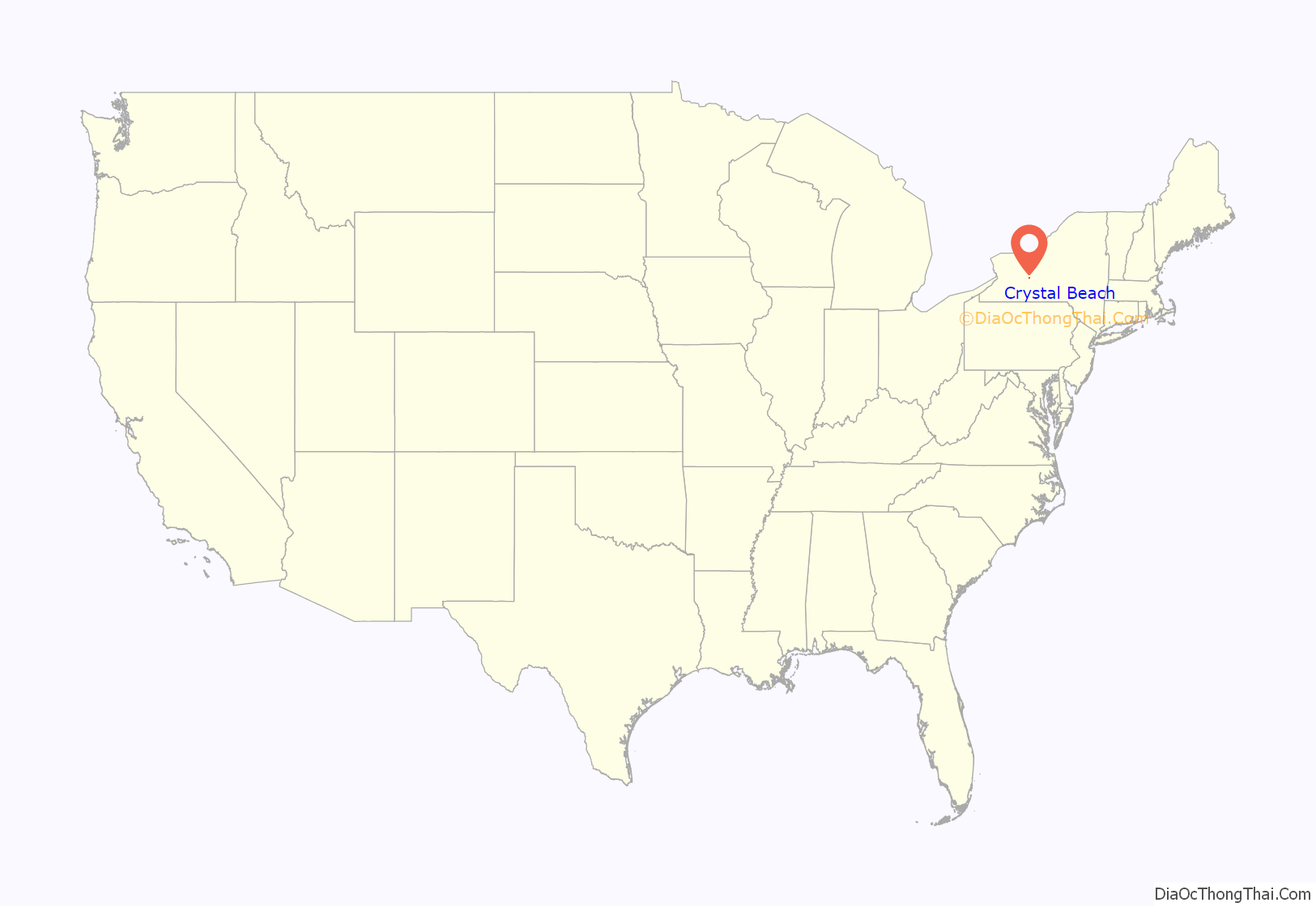
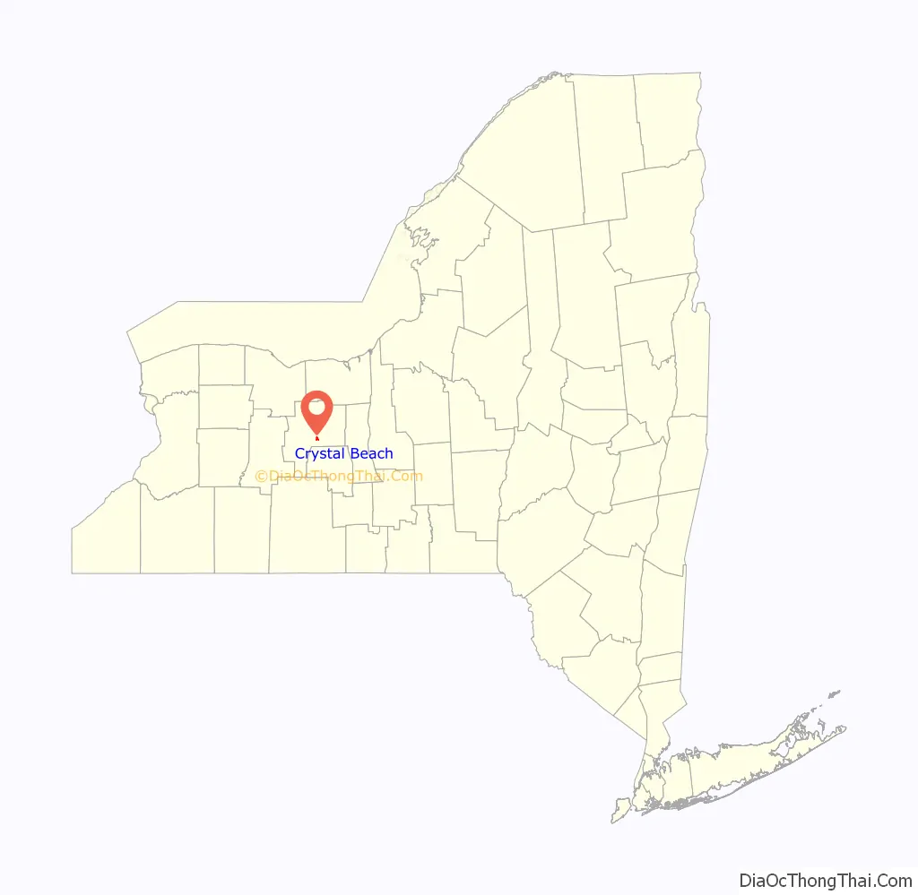
Crystal Beach location map. Where is Crystal Beach CDP?
History
Before being established as Crystal Beach, the land was originally owned by the Washburn family, who maintained a large grape farm. In 1929, Paul Ritchie, owner of Finger Lakes Company, purchased the farm and the subsequent land. He began planning a large housing development in the area. The company built a grid of roads, and dedicated land for neighborhood parks. 965 30 ft x 80 ft lots were built for housing. Midway through building the new cottages at Crystal Beach, the Great Depression hit, and all development seized. Many of the homes built after the Great Depression were built by non-professional individuals, which is why we see a large variation of style and quality of homes in the Crystal Beach area today.
In 2016, the mean price of all housing units was $267,468.
Crystal Beach Road Map
Crystal Beach city Satellite Map
Geography
According to the U.S. Census Bureau, the community has an area of 0.885 square miles (2.29 km); 0.682 square miles (1.77 km) of its area is land, and 0.203 square miles (0.53 km) is water.
See also
Map of New York State and its subdivision:- Albany
- Allegany
- Bronx
- Broome
- Cattaraugus
- Cayuga
- Chautauqua
- Chemung
- Chenango
- Clinton
- Columbia
- Cortland
- Delaware
- Dutchess
- Erie
- Essex
- Franklin
- Fulton
- Genesee
- Greene
- Hamilton
- Herkimer
- Jefferson
- Kings
- Lake Ontario
- Lewis
- Livingston
- Madison
- Monroe
- Montgomery
- Nassau
- New York
- Niagara
- Oneida
- Onondaga
- Ontario
- Orange
- Orleans
- Oswego
- Otsego
- Putnam
- Queens
- Rensselaer
- Richmond
- Rockland
- Saint Lawrence
- Saratoga
- Schenectady
- Schoharie
- Schuyler
- Seneca
- Steuben
- Suffolk
- Sullivan
- Tioga
- Tompkins
- Ulster
- Warren
- Washington
- Wayne
- Westchester
- Wyoming
- Yates
- Alabama
- Alaska
- Arizona
- Arkansas
- California
- Colorado
- Connecticut
- Delaware
- District of Columbia
- Florida
- Georgia
- Hawaii
- Idaho
- Illinois
- Indiana
- Iowa
- Kansas
- Kentucky
- Louisiana
- Maine
- Maryland
- Massachusetts
- Michigan
- Minnesota
- Mississippi
- Missouri
- Montana
- Nebraska
- Nevada
- New Hampshire
- New Jersey
- New Mexico
- New York
- North Carolina
- North Dakota
- Ohio
- Oklahoma
- Oregon
- Pennsylvania
- Rhode Island
- South Carolina
- South Dakota
- Tennessee
- Texas
- Utah
- Vermont
- Virginia
- Washington
- West Virginia
- Wisconsin
- Wyoming