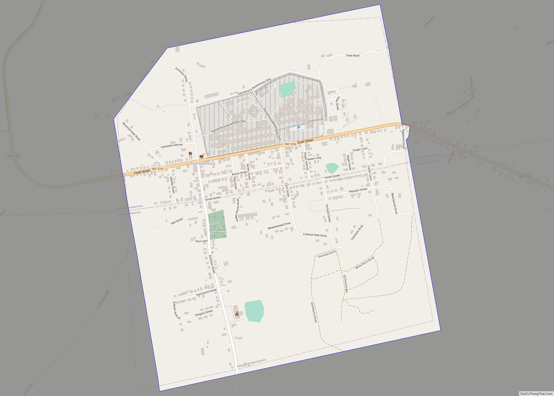
Dannemora is a village located in the towns of Dannemora and Saranac in Clinton County, New York, United States. It is best known as the location for Clinton Correctional Facility, also known colloquially as Dannemora. The population was 3,936 (approximately 2,800 to 3,000 of this number are prison inmates) at the 2010 census. The village is named after Dannemora, Sweden, an iron-making town from where early settlers of this area had emigrated.
The northern half of the village is in the town of Dannemora, while the southern half is in the town of Saranac. The ZIP code is 12929.
Primary and secondary education is provided by the Saranac Central School District.
| Name: | Dannemora village |
|---|---|
| LSAD Code: | 47 |
| LSAD Description: | village (suffix) |
| State: | New York |
| County: | Clinton County |
| Elevation: | 1,414 ft (431 m) |
| Total Area: | 1.21 sq mi (3.13 km²) |
| Land Area: | 1.21 sq mi (3.13 km²) |
| Water Area: | 0.00 sq mi (0.00 km²) |
| Total Population: | 3,287 |
| Population Density: | 2,723.28/sq mi (1,051.10/km²) |
| ZIP code: | 12929 |
| Area code: | 518 |
| FIPS code: | 3619642 |
| GNISfeature ID: | 0948021 |
| Website: | www.villageofdannemora.com |
Online Interactive Map
Click on ![]() to view map in "full screen" mode.
to view map in "full screen" mode.
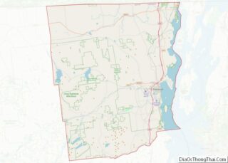
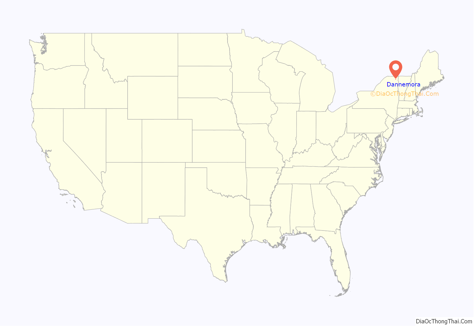
Dannemora location map. Where is Dannemora village?
History
The village of Dannemora was incorporated in 1901. Permanent settlement had begun in 1838. The early economy was based on mining and smelting iron, but this industry did not become significant until approximately 1843.
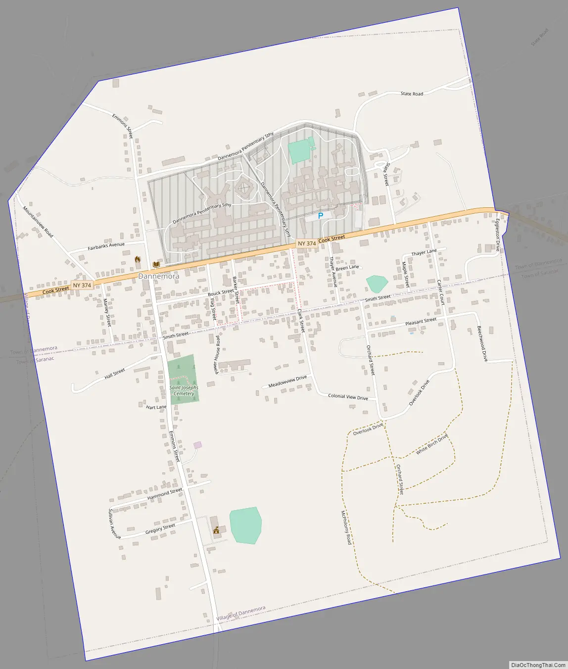
Clinton Prison (now known as the Clinton Correctional Facility) was opened in 1845 to employ convicts to work in the iron industry. In the 21st century, it is classified as a maximum security facility. It houses long-term prisoners and is one of the largest prisons in the state. It is located in the northern portion of the village.
From 1900 to 1972, Dannemora also contained the Dannemora Hospital for the Criminally Insane (also known by other names). After being closed for the mentally ill, this facility was used for a variety of prison programs by the Department of Corrections. As a result, Dannemora has become a synonym among many in the state for the place where many of its criminally insane are confined.
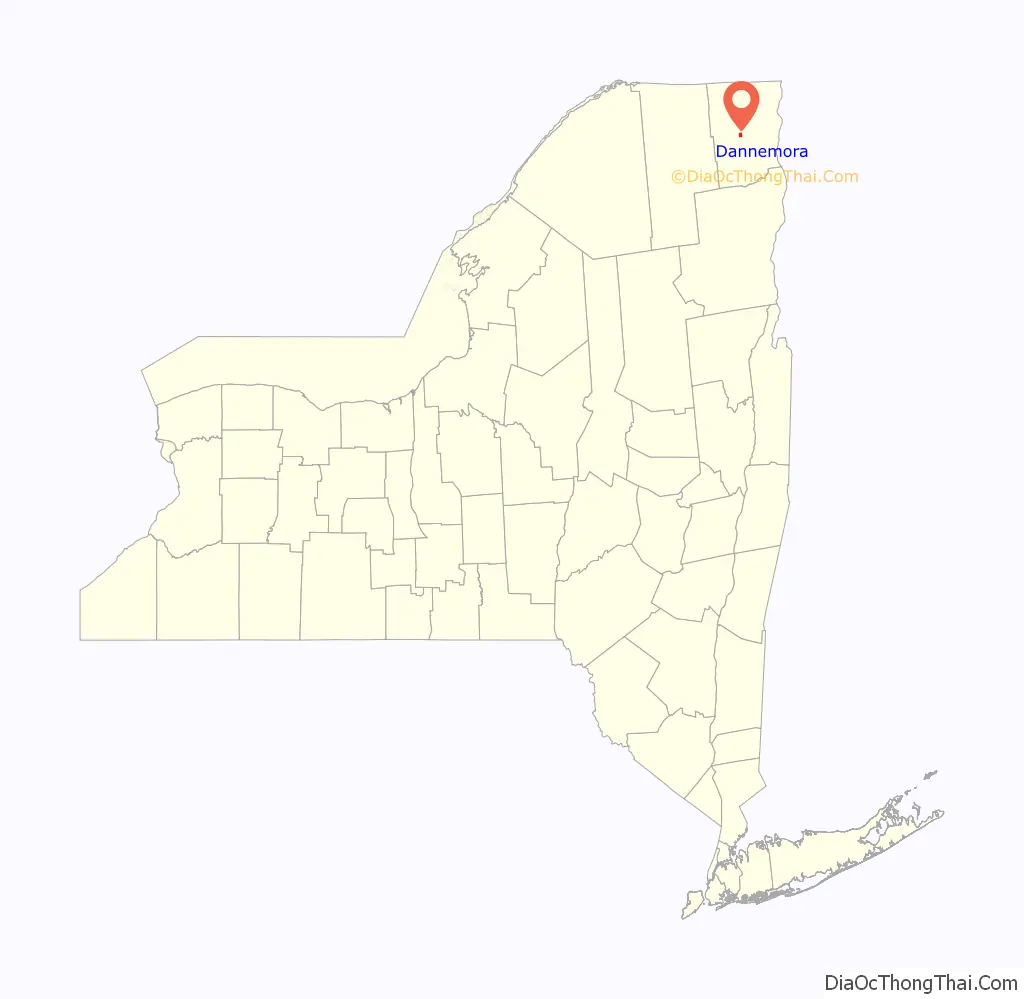
Dannemora Road Map
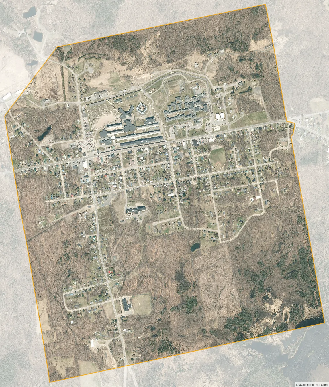
Dannemora city Satellite Map
Geography
Dannemora is located at 44°43′15″N 73°43′8″W / 44.72083°N 73.71889°W / 44.72083; -73.71889 (44.720878, -73.718904).
According to the United States Census Bureau, the village has a total area of 1.2 square miles (3.0 km), all land.
The entire village of Dannemora is located within the boundary of Adirondack Park. However, the town of Dannemora is excluded from the park by statute. This means that the portion of the village lying within the town of Dannemora, including the Clinton Correctional Facility, is outside Adirondack Park, while the portion inside the town of Saranac is included in the park.
New York State Route 374, an east-west highway, passes through the village as Cook Street.
See also
Map of New York State and its subdivision:- Albany
- Allegany
- Bronx
- Broome
- Cattaraugus
- Cayuga
- Chautauqua
- Chemung
- Chenango
- Clinton
- Columbia
- Cortland
- Delaware
- Dutchess
- Erie
- Essex
- Franklin
- Fulton
- Genesee
- Greene
- Hamilton
- Herkimer
- Jefferson
- Kings
- Lake Ontario
- Lewis
- Livingston
- Madison
- Monroe
- Montgomery
- Nassau
- New York
- Niagara
- Oneida
- Onondaga
- Ontario
- Orange
- Orleans
- Oswego
- Otsego
- Putnam
- Queens
- Rensselaer
- Richmond
- Rockland
- Saint Lawrence
- Saratoga
- Schenectady
- Schoharie
- Schuyler
- Seneca
- Steuben
- Suffolk
- Sullivan
- Tioga
- Tompkins
- Ulster
- Warren
- Washington
- Wayne
- Westchester
- Wyoming
- Yates
- Alabama
- Alaska
- Arizona
- Arkansas
- California
- Colorado
- Connecticut
- Delaware
- District of Columbia
- Florida
- Georgia
- Hawaii
- Idaho
- Illinois
- Indiana
- Iowa
- Kansas
- Kentucky
- Louisiana
- Maine
- Maryland
- Massachusetts
- Michigan
- Minnesota
- Mississippi
- Missouri
- Montana
- Nebraska
- Nevada
- New Hampshire
- New Jersey
- New Mexico
- New York
- North Carolina
- North Dakota
- Ohio
- Oklahoma
- Oregon
- Pennsylvania
- Rhode Island
- South Carolina
- South Dakota
- Tennessee
- Texas
- Utah
- Vermont
- Virginia
- Washington
- West Virginia
- Wisconsin
- Wyoming