Dansville is a village in the town of North Dansville, with a small northern part in the town of Sparta in Livingston County, in western New York, United States. As of the 2020 census, the village population was 4,433. The village is named after Daniel Faulkner, an early European-American settler. Interstate 390 passes the west side of the village.
| Name: | Dansville village |
|---|---|
| LSAD Code: | 47 |
| LSAD Description: | village (suffix) |
| State: | New York |
| County: | Livingston County |
| Elevation: | 705 ft (215 m) |
| Total Area: | 2.61 sq mi (6.75 km²) |
| Land Area: | 2.61 sq mi (6.75 km²) |
| Water Area: | 0.00 sq mi (0.00 km²) |
| Total Population: | 4,433 |
| Population Density: | 1,699.77/sq mi (656.36/km²) |
| ZIP code: | 14437 |
| Area code: | 585 |
| FIPS code: | 3619664 |
| GNISfeature ID: | 0948024 |
| Website: | www.dansvilleny.us |
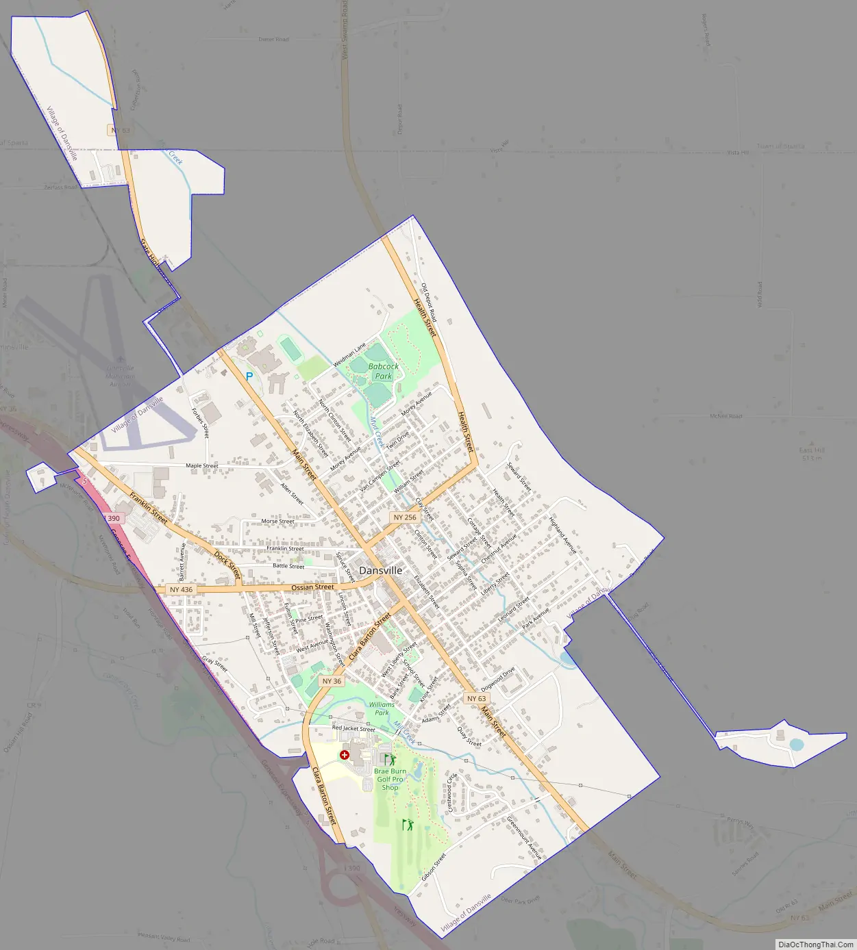
Online Interactive Map
Click on ![]() to view map in "full screen" mode.
to view map in "full screen" mode.
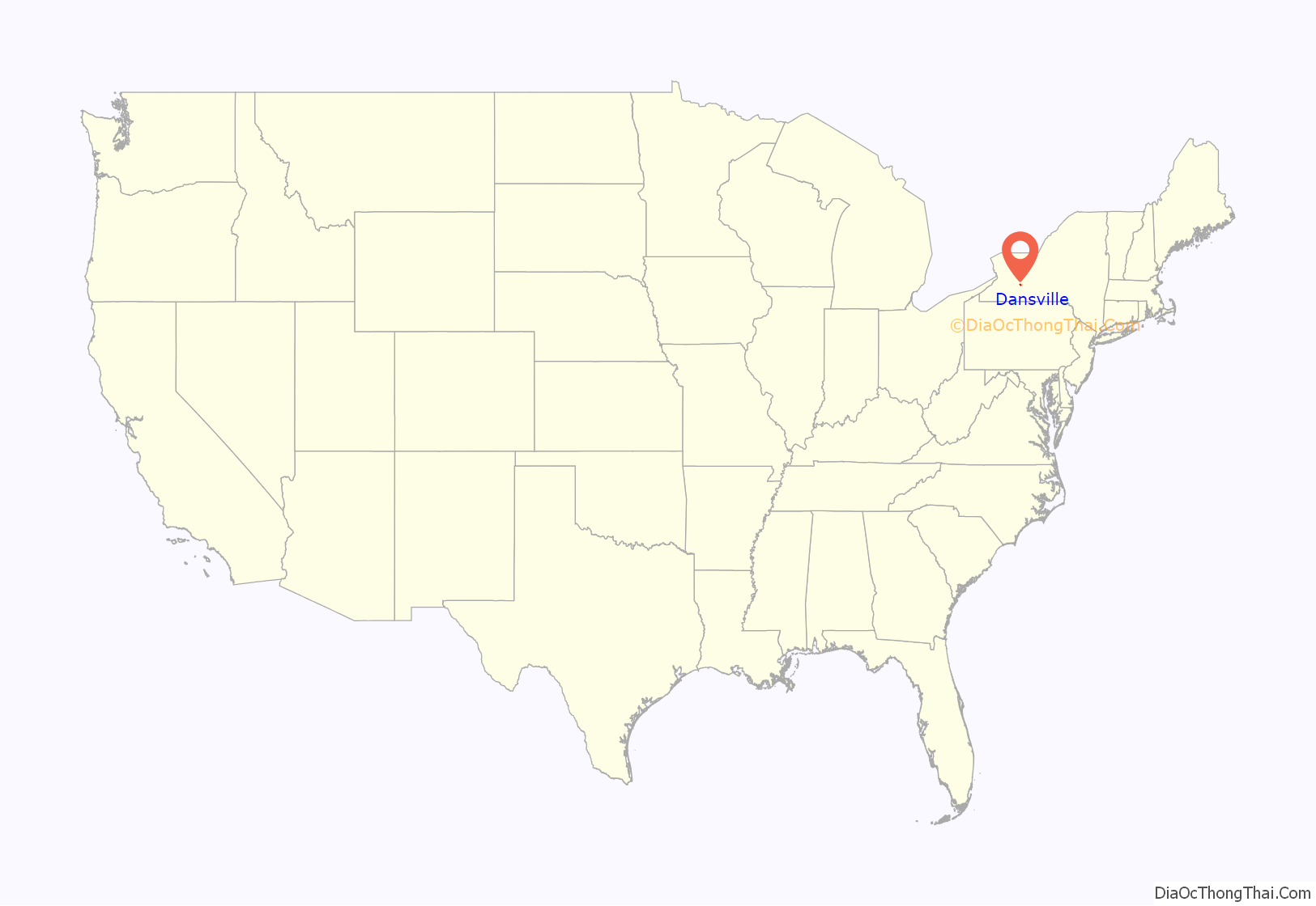
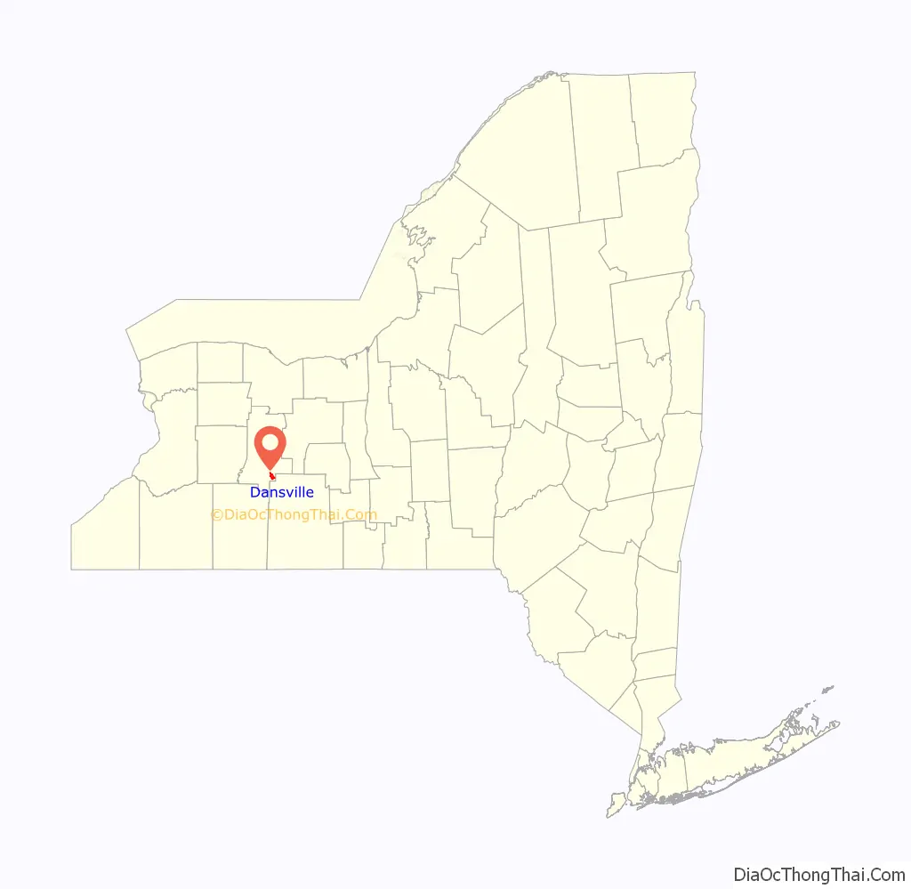
Dansville location map. Where is Dansville village?
History
A spa was opened in 1854, eventually attracted many prominent people to Dansville for the water cure. After a quick series of unsuccessful owners, it was purchased in September 1858 by new owners who recruited James Caleb Jackson as the physician-in-charge. He was assisted by his wife, known as “Mother Jackson”, and their adopted daughter, Dr. Harriet Newell Austin. A Jackson family operation for many years, the family referred to it as the Jackson Sanatorium by 1890.
Dansville Road Map
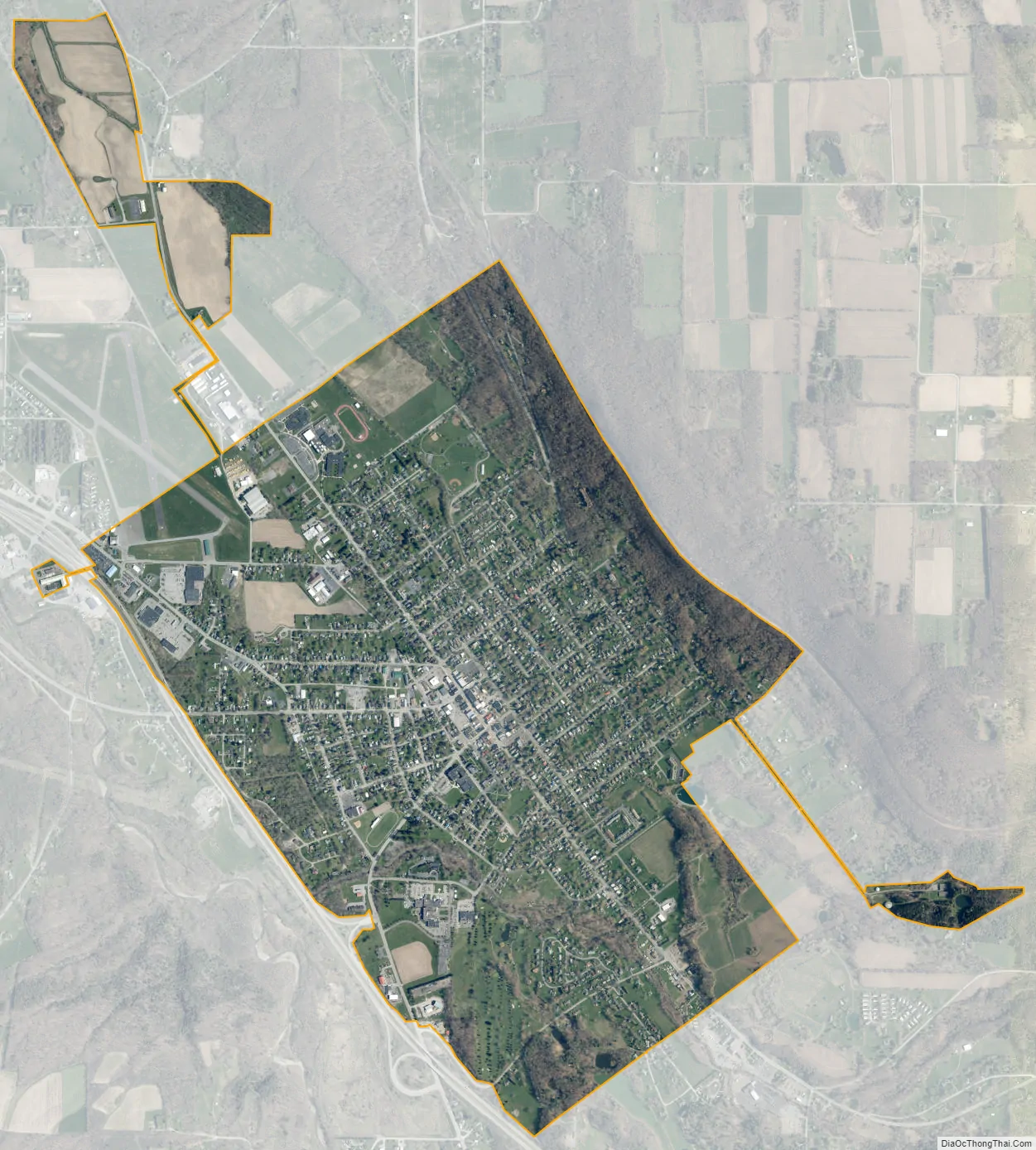
Dansville city Satellite Map
Geography
According to the United States Census Bureau, the village has a total area of 2.6 square miles (6.8 km), all land. The village sits in a glacially formed valley, common throughout western New York. Canaseraga Creek flows northward just west of the village limits; it is a tributary of the Genesee River.
Interstate 390, New York State Route 36, New York State Route 63, New York State Route 256, and New York State Route 436 pass through the village. It is bordered to the northwest by the unincorporated community of Cumminsville. Geneseo, the Livingston county seat, is 18 miles (29 km) to the northwest, Hornell is 17 miles (27 km) to the south, Corning is 51 miles (82 km) to the southeast, and Rochester is 44 to 53 miles (71 to 85 km) to the north, depending on which highway one takes. Stony Brook State Park, with waterfalls, hiking, and swimming, is 3 miles (5 km) south of the village.
See also
Map of New York State and its subdivision:- Albany
- Allegany
- Bronx
- Broome
- Cattaraugus
- Cayuga
- Chautauqua
- Chemung
- Chenango
- Clinton
- Columbia
- Cortland
- Delaware
- Dutchess
- Erie
- Essex
- Franklin
- Fulton
- Genesee
- Greene
- Hamilton
- Herkimer
- Jefferson
- Kings
- Lake Ontario
- Lewis
- Livingston
- Madison
- Monroe
- Montgomery
- Nassau
- New York
- Niagara
- Oneida
- Onondaga
- Ontario
- Orange
- Orleans
- Oswego
- Otsego
- Putnam
- Queens
- Rensselaer
- Richmond
- Rockland
- Saint Lawrence
- Saratoga
- Schenectady
- Schoharie
- Schuyler
- Seneca
- Steuben
- Suffolk
- Sullivan
- Tioga
- Tompkins
- Ulster
- Warren
- Washington
- Wayne
- Westchester
- Wyoming
- Yates
- Alabama
- Alaska
- Arizona
- Arkansas
- California
- Colorado
- Connecticut
- Delaware
- District of Columbia
- Florida
- Georgia
- Hawaii
- Idaho
- Illinois
- Indiana
- Iowa
- Kansas
- Kentucky
- Louisiana
- Maine
- Maryland
- Massachusetts
- Michigan
- Minnesota
- Mississippi
- Missouri
- Montana
- Nebraska
- Nevada
- New Hampshire
- New Jersey
- New Mexico
- New York
- North Carolina
- North Dakota
- Ohio
- Oklahoma
- Oregon
- Pennsylvania
- Rhode Island
- South Carolina
- South Dakota
- Tennessee
- Texas
- Utah
- Vermont
- Virginia
- Washington
- West Virginia
- Wisconsin
- Wyoming


