Deer Park is a hamlet and census-designated place (CDP) in the Town of Babylon, in Suffolk County, on Long Island, in New York, United States. The population was 27,745 at the 2010 census.
| Name: | Deer Park CDP |
|---|---|
| LSAD Code: | 57 |
| LSAD Description: | CDP (suffix) |
| State: | New York |
| County: | Suffolk County |
| Elevation: | 74 ft (23 m) |
| Total Area: | 6.17 sq mi (15.99 km²) |
| Land Area: | 6.17 sq mi (15.98 km²) |
| Water Area: | 0.00 sq mi (0.01 km²) |
| Total Population: | 28,837 |
| Population Density: | 4,674.50/sq mi (1,804.97/km²) |
| ZIP code: | 11729 |
| FIPS code: | 3619972 |
| GNISfeature ID: | 0948210 |
Online Interactive Map
Click on ![]() to view map in "full screen" mode.
to view map in "full screen" mode.
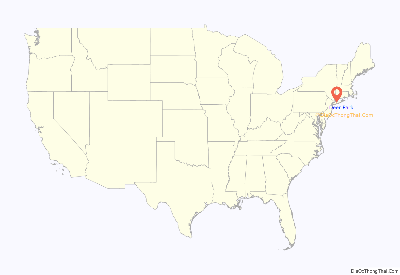
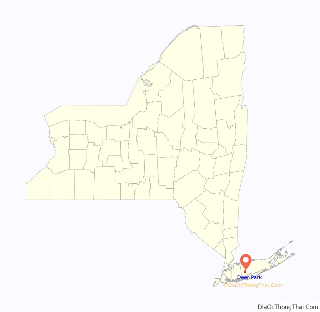
Deer Park location map. Where is Deer Park CDP?
History
Deer Park is located in the pine barrens in the northeast corner of the town of Babylon. It grew out of Jacob Conklin’s 1610 settlement of the Half Way Hollow Hills, later known as Wheatley Heights. Charles Wilson started what is now Deer Park in 1853 about eleven years after the Long Island Rail Road arrived in 1842-when he established a large and productive farm. A post office was opened in 1851, closed in 1872 and re-opened on July 1, 1873. Deer Park had an elementary school in 1874. Prior to 1923, the Deer Park School District took in Deer Park and Wyandanch.
Farming was a staple of this small town for most of its history. Known as the “fruit basket” of New York state, the area was also famed for its dahlia cultivation. It was not until the effects of the post-World War II boom reached Deer Park that its economy ceased to be agricultural.
Deer Park had two industries before 1940: the Walker and Conklin firm baked red bricks in West Deer Park (now Wheatley Heights), and the Golden Pickle Works (1902) prepared pickles in Deer Park. Deer Park was the locale of the Edgewood State Hospital (1938–1969)-originally a tuberculosis sanatorium, and later an Army hospital during World War II. The Fairchild Engine and Airplane Corporation established a factory in Deer Park in 1956.
In 1946, the former Deer Park Airport opened. It operated until 1974; the land was subsequently redeveloped.
Deer Park is reputed to have been the favorite summer spot of President John Quincy Adams, as his preferred vacation destination from 1835 until his death. However, this “fact” has never been verified.
On October 22, 2008, the $300 million Tanger Outlets at the Arches shopping mall opened.
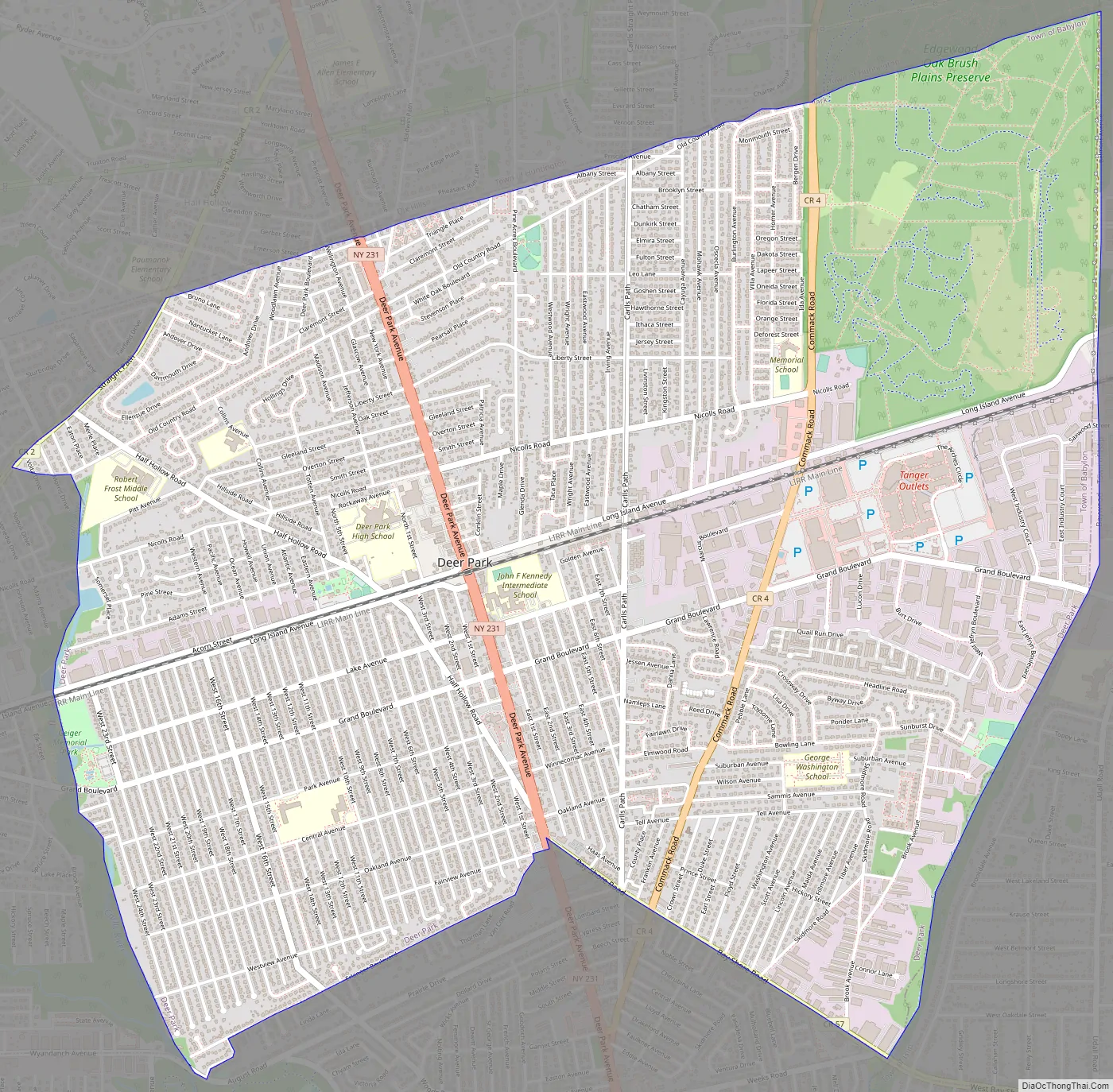
Deer Park Road Map
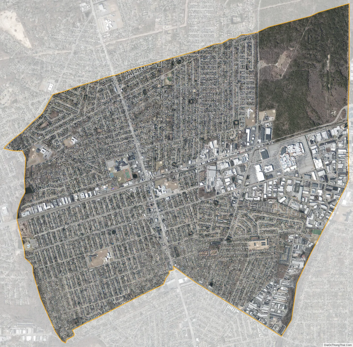
Deer Park city Satellite Map
Geography
According to the United States Census Bureau, the CDP has a total area of 6.2 square miles (16.0 km), all land.
Deer Park is located in the northeastern corner of the town of Babylon. It is bordered to the west by the Babylon hamlets of Wyandanch and Wheatley Heights, to the north by Dix Hills in the Town of Huntington, to the east by Brentwood and Baywood in the town of Islip, and to the south by the hamlet of North Babylon.
See also
Map of New York State and its subdivision:- Albany
- Allegany
- Bronx
- Broome
- Cattaraugus
- Cayuga
- Chautauqua
- Chemung
- Chenango
- Clinton
- Columbia
- Cortland
- Delaware
- Dutchess
- Erie
- Essex
- Franklin
- Fulton
- Genesee
- Greene
- Hamilton
- Herkimer
- Jefferson
- Kings
- Lake Ontario
- Lewis
- Livingston
- Madison
- Monroe
- Montgomery
- Nassau
- New York
- Niagara
- Oneida
- Onondaga
- Ontario
- Orange
- Orleans
- Oswego
- Otsego
- Putnam
- Queens
- Rensselaer
- Richmond
- Rockland
- Saint Lawrence
- Saratoga
- Schenectady
- Schoharie
- Schuyler
- Seneca
- Steuben
- Suffolk
- Sullivan
- Tioga
- Tompkins
- Ulster
- Warren
- Washington
- Wayne
- Westchester
- Wyoming
- Yates
- Alabama
- Alaska
- Arizona
- Arkansas
- California
- Colorado
- Connecticut
- Delaware
- District of Columbia
- Florida
- Georgia
- Hawaii
- Idaho
- Illinois
- Indiana
- Iowa
- Kansas
- Kentucky
- Louisiana
- Maine
- Maryland
- Massachusetts
- Michigan
- Minnesota
- Mississippi
- Missouri
- Montana
- Nebraska
- Nevada
- New Hampshire
- New Jersey
- New Mexico
- New York
- North Carolina
- North Dakota
- Ohio
- Oklahoma
- Oregon
- Pennsylvania
- Rhode Island
- South Carolina
- South Dakota
- Tennessee
- Texas
- Utah
- Vermont
- Virginia
- Washington
- West Virginia
- Wisconsin
- Wyoming


