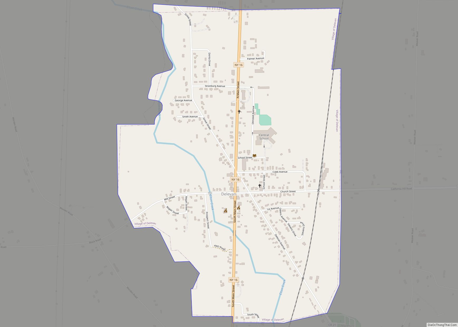
Delevan is a village in Cattaraugus County, New York, United States. The population was 1,064 at the 2020 census. The village is within the town of Yorkshire
| Name: | Delevan village |
|---|---|
| LSAD Code: | 47 |
| LSAD Description: | village (suffix) |
| State: | New York |
| County: | Cattaraugus County |
| Elevation: | 1,424 ft (434 m) |
| Total Area: | 0.99 sq mi (2.57 km²) |
| Land Area: | 0.99 sq mi (2.57 km²) |
| Water Area: | 0.00 sq mi (0.00 km²) |
| Total Population: | 1,043 |
| Population Density: | 1,049.30/sq mi (405.14/km²) |
| ZIP code: | 14042 |
| Area code: | 716 |
| FIPS code: | 3620115 |
| GNISfeature ID: | 0948273 |
| Website: | delevanny.org |
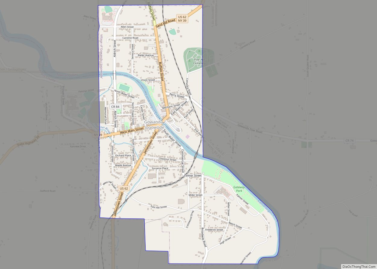
Online Interactive Map
Click on ![]() to view map in "full screen" mode.
to view map in "full screen" mode.
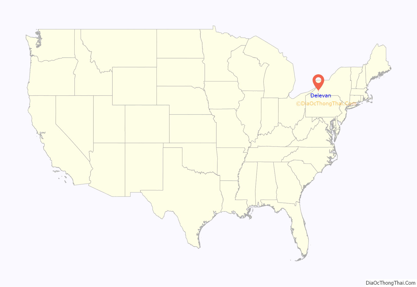
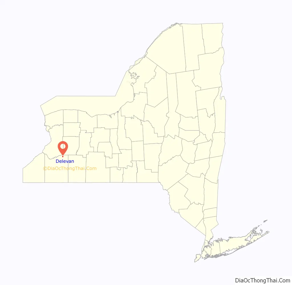
Delevan location map. Where is Delevan village?
History
The first lot was cleared circa 1821. The name of the area was changed from Yorkshire Center to Delevan in 1892. The village was incorporated in 1915.
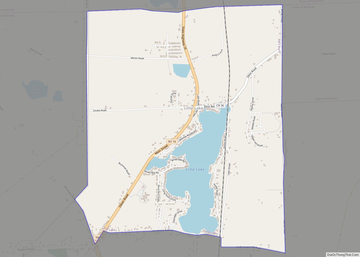
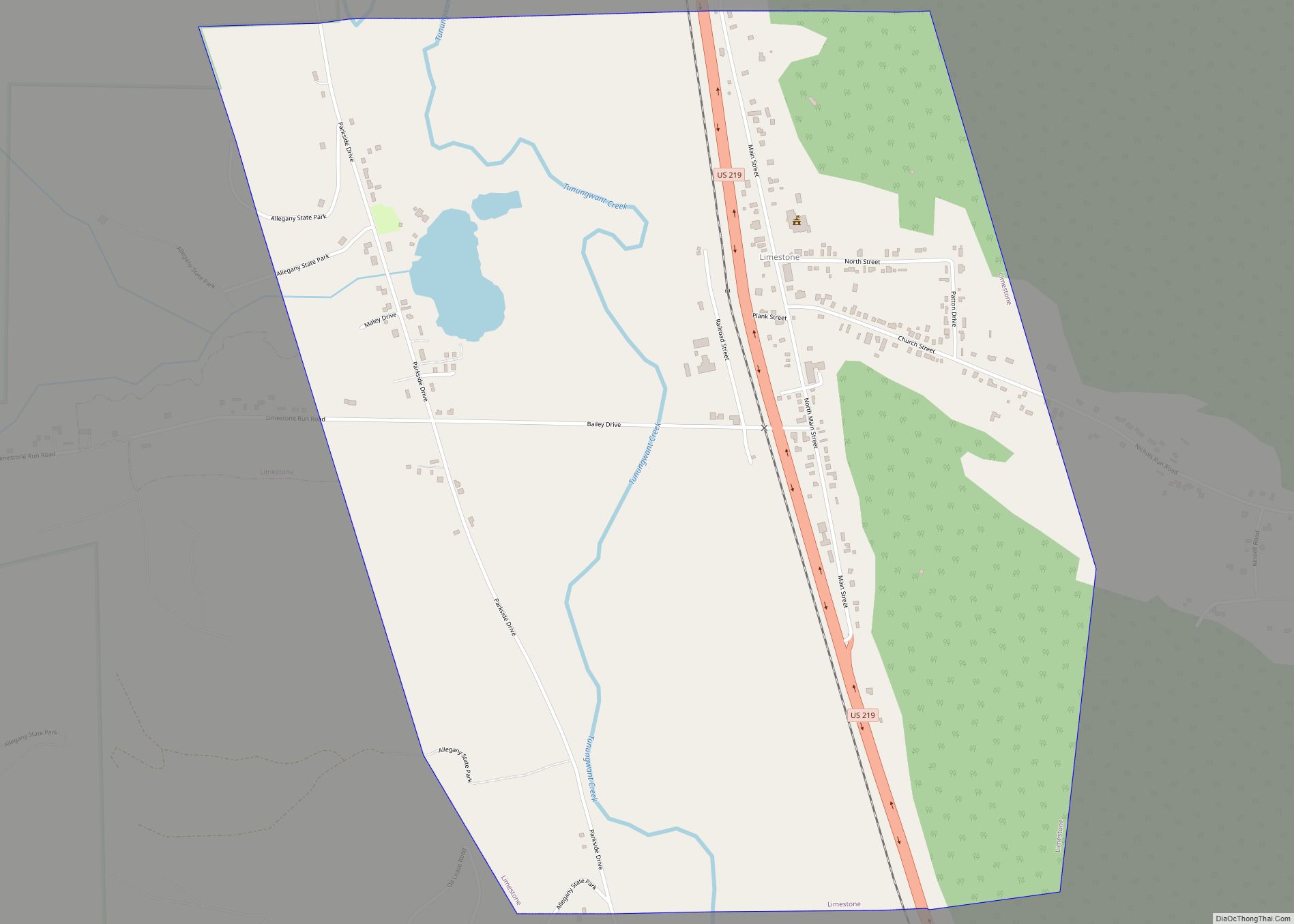
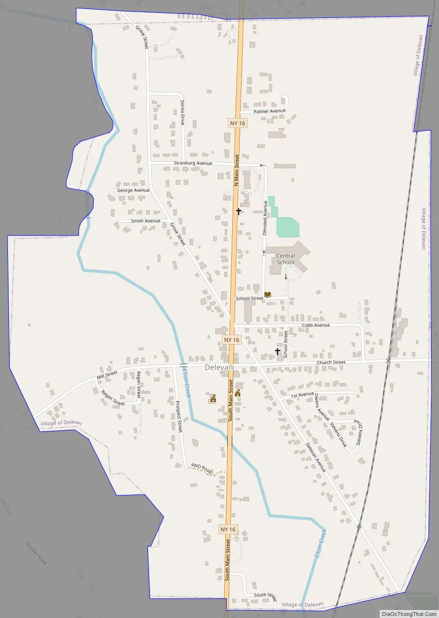
Delevan Road Map
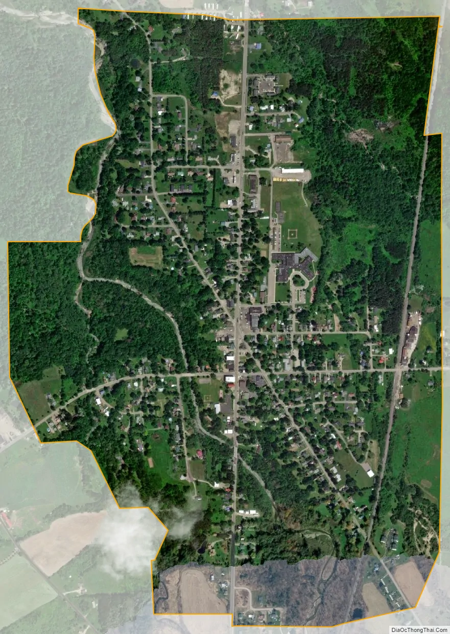
Delevan city Satellite Map
Geography
Delevan is located in northeastern Cattaraugus County in the east-central part of the town of Yorkshire at 42°29′N 78°29′W / 42.483°N 78.483°W / 42.483; -78.483 (42.4896, -78.4798).
According to the United States Census Bureau, the village has a total area of 0.99 square miles (2.57 km), all land.
New York State Route 16 passes through the village. Cattaraugus County Routes 20, 21 and 73 terminate at the village limits.
Yorkshire is north of the community of Lime Lake and south of the community of Yorkshire. Elton Creek joins Lime Lake Outlet west of the village.
See also
Map of New York State and its subdivision:- Albany
- Allegany
- Bronx
- Broome
- Cattaraugus
- Cayuga
- Chautauqua
- Chemung
- Chenango
- Clinton
- Columbia
- Cortland
- Delaware
- Dutchess
- Erie
- Essex
- Franklin
- Fulton
- Genesee
- Greene
- Hamilton
- Herkimer
- Jefferson
- Kings
- Lake Ontario
- Lewis
- Livingston
- Madison
- Monroe
- Montgomery
- Nassau
- New York
- Niagara
- Oneida
- Onondaga
- Ontario
- Orange
- Orleans
- Oswego
- Otsego
- Putnam
- Queens
- Rensselaer
- Richmond
- Rockland
- Saint Lawrence
- Saratoga
- Schenectady
- Schoharie
- Schuyler
- Seneca
- Steuben
- Suffolk
- Sullivan
- Tioga
- Tompkins
- Ulster
- Warren
- Washington
- Wayne
- Westchester
- Wyoming
- Yates
- Alabama
- Alaska
- Arizona
- Arkansas
- California
- Colorado
- Connecticut
- Delaware
- District of Columbia
- Florida
- Georgia
- Hawaii
- Idaho
- Illinois
- Indiana
- Iowa
- Kansas
- Kentucky
- Louisiana
- Maine
- Maryland
- Massachusetts
- Michigan
- Minnesota
- Mississippi
- Missouri
- Montana
- Nebraska
- Nevada
- New Hampshire
- New Jersey
- New Mexico
- New York
- North Carolina
- North Dakota
- Ohio
- Oklahoma
- Oregon
- Pennsylvania
- Rhode Island
- South Carolina
- South Dakota
- Tennessee
- Texas
- Utah
- Vermont
- Virginia
- Washington
- West Virginia
- Wisconsin
- Wyoming