Depauville is a hamlet and census-designated place (CDP) in the southern region of the town of Clayton, within Jefferson County, New York, United States. The population was at 577 at the 2010 census.
| Name: | Depauville CDP |
|---|---|
| LSAD Code: | 57 |
| LSAD Description: | CDP (suffix) |
| State: | New York |
| County: | Jefferson County |
| Elevation: | 305 ft (93 m) |
| Total Area: | 9.82 sq mi (25.44 km²) |
| Land Area: | 9.82 sq mi (25.44 km²) |
| Water Area: | 0.00 sq mi (0.00 km²) |
| Total Population: | 488 |
| Population Density: | 49.68/sq mi (19.18/km²) |
| ZIP code: | 13632 |
| Area code: | 315 |
| FIPS code: | 3620302 |
| GNISfeature ID: | 0948332 |
Online Interactive Map
Click on ![]() to view map in "full screen" mode.
to view map in "full screen" mode.
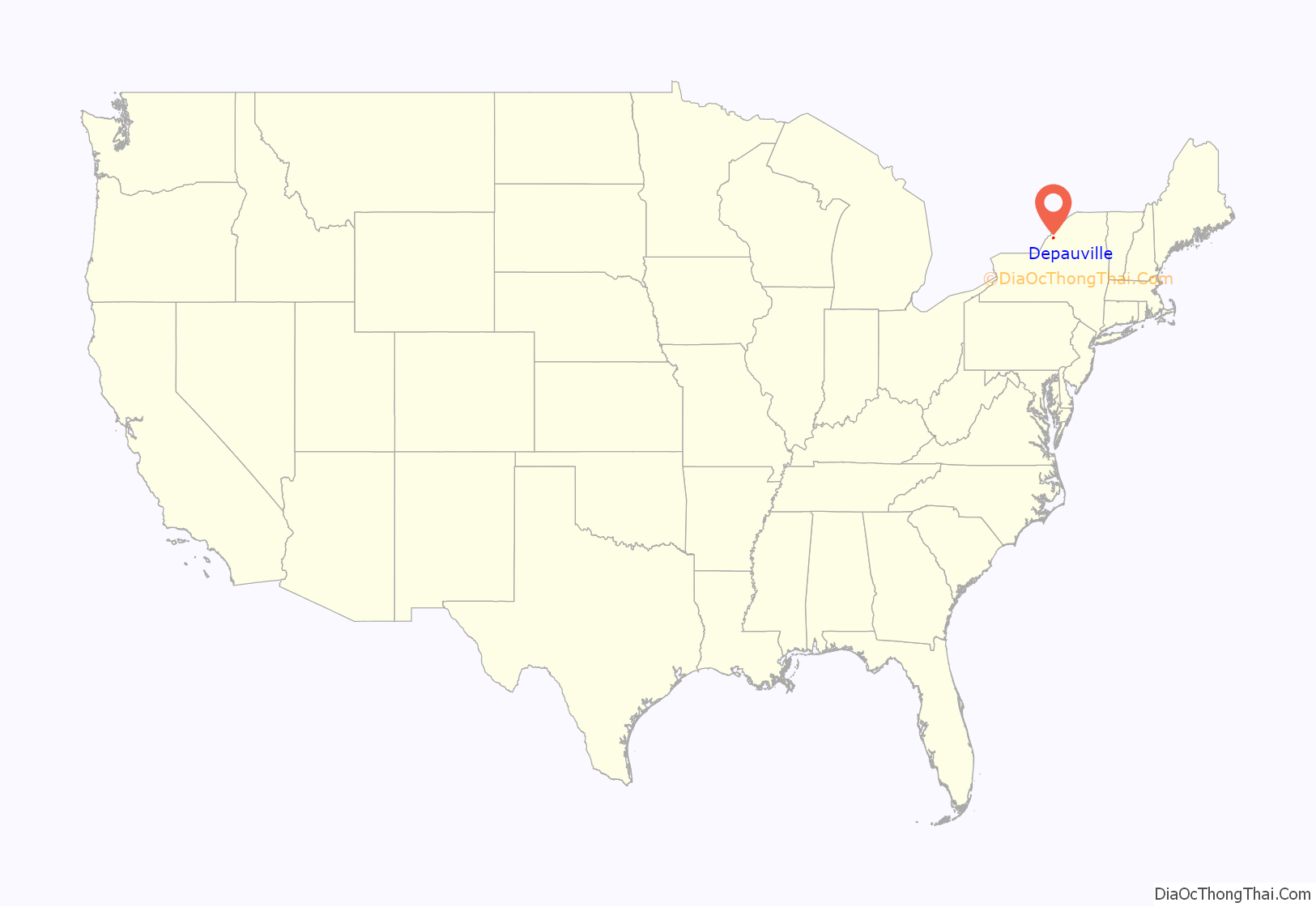
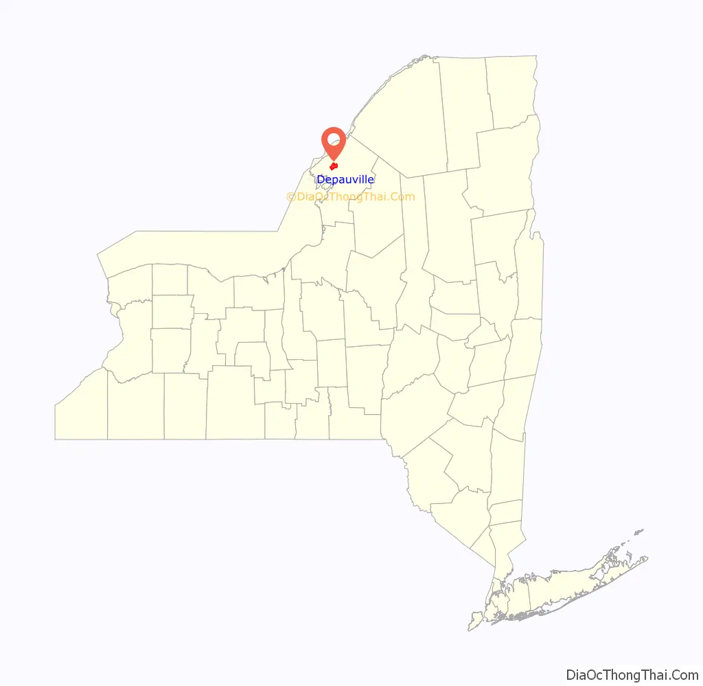
Depauville location map. Where is Depauville CDP?
History
In 1784, the Oneida people ceded all territory to the state of New York except for a tract of land around 100 square miles (260 km) known as Penet Square. The Oneida considered the tract as a gift to Pierre Penet. After Penet’s death, rights of land ownership were blurred and squatters occupied the territory as early as 1785. Catfish Falls was a settlement at the head of the Chaumont River, named after the 25-foot (7.6 m) waterfall within the settlement. The squatters that inhabited this area were often called “Catfish People”, marking their settlement from the clearing of trees establishing its boundaries. In 1816, merchant Francis Depau purchased several lots in Penet Square including Catfish Falls, later renaming the settlement “Depauville” after himself.
Depauville during the early 1800s was a site of manufacturing; the settlement contained a gristmill and sawmill. Lumber was a profitable resource for the region. Depauville also produced limewater, nearly 1,000 barrels after two years of production, a first for the county. Around 1868 the Depauville Steamboat Company was established and produced side-wheel steamboats. The M. W. Wright was constructed in 1968, a steam-powered vessel 70 feet (21 m) from bow to stern, with a width of 14 feet (4.3 m), and weighing in at nearly 43 tons. The ship was large enough to raise concerns on its capability to navigate the shallow waters of the Chaumont River before reaching Lake Ontario.
Depauville’s first Fire District was created in 1932 and during the Great Depression housed a camp of the Civilian Conservation Corps (CCC). The CCC established a headquarters consisting of ten camps at the Madison Barracks in Sackets Harbor.
Depauville saw damage from a microburst on July 15, 1995. In 1996, the Clayton Fire District formed, bringing the Depauville Fire Department under the same umbrella with the Clayton Fire Department, although each retained its identity. Depauville in January 1998 witnessed one of the most destructive natural disasters that Jefferson County had ever endured, the Ice Storm of 1998, 36 hours of freezing rain that left damaged homes and properties, impassable roadways and many people powerless and hungry for weeks.
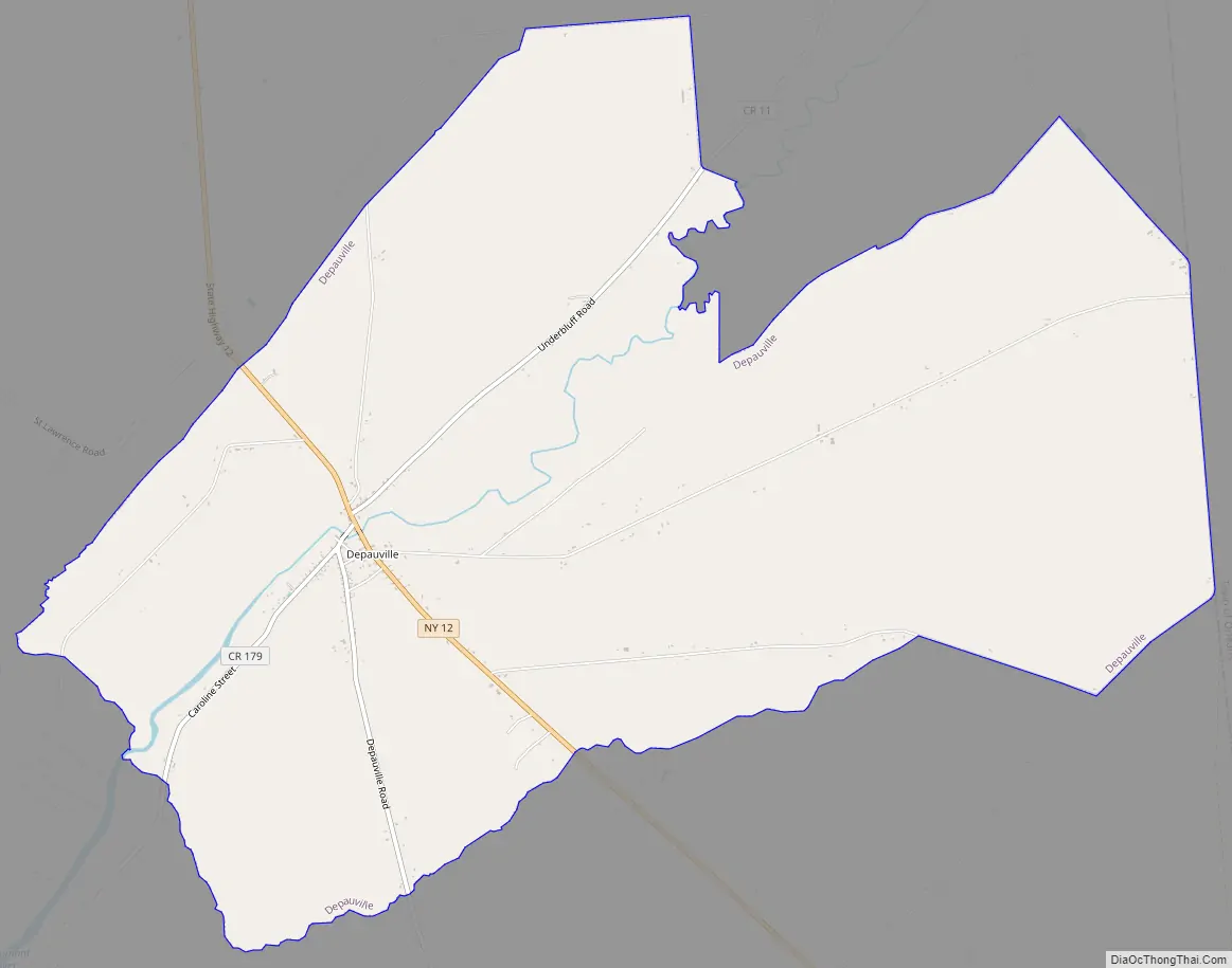
Depauville Road Map
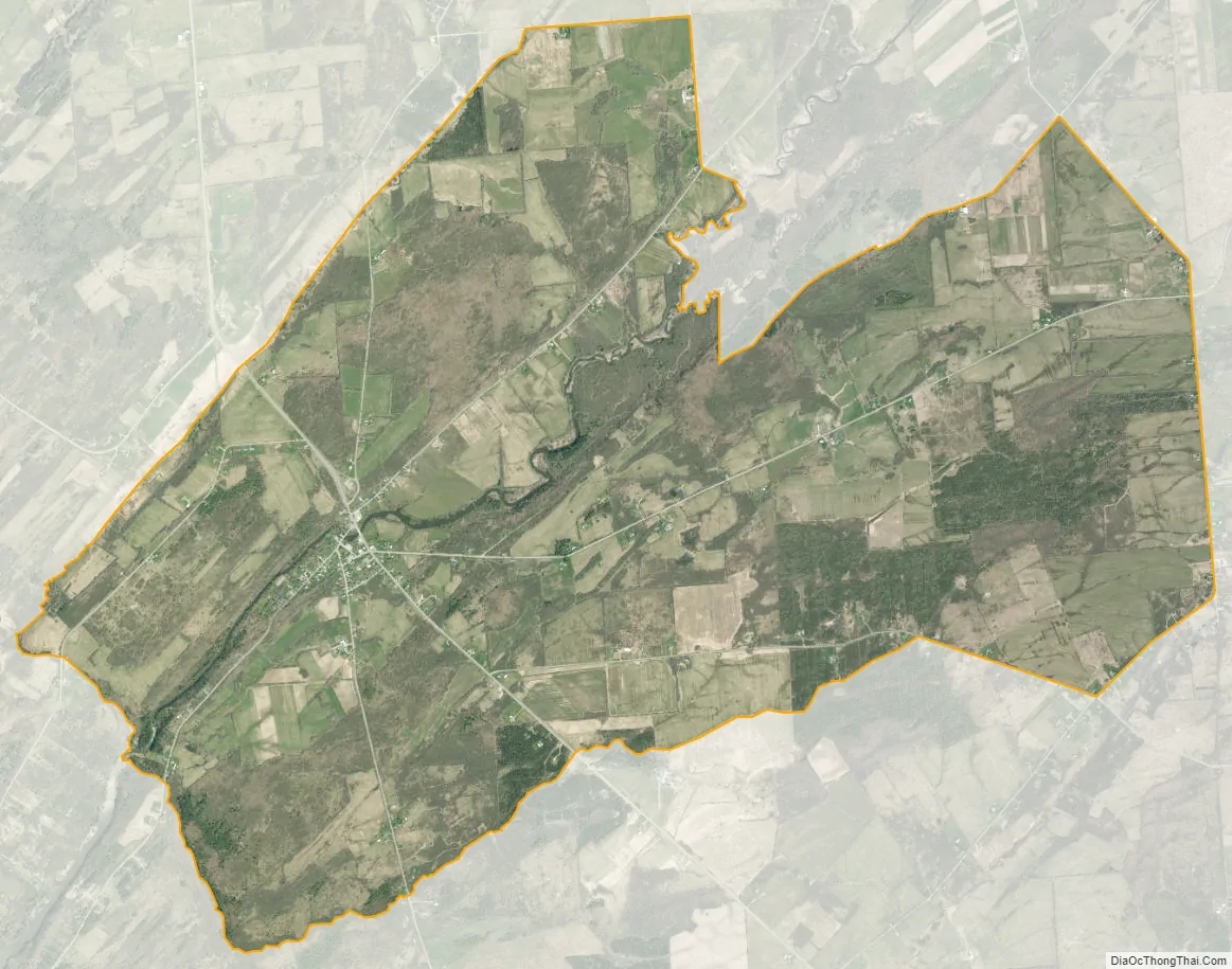
Depauville city Satellite Map
Geography
Depauville is located in northern Jefferson County at 44°8′35″N 76°3′28″W / 44.14306°N 76.05778°W / 44.14306; -76.05778 (44.143189, -76.057757), in the southern part of the town of Clayton. According to the United States Census Bureau, the CDP has a total area of 9.8 square miles (25.4 km), all land.
Depauville hamlet is located at the junction of New York State Route 12 and County Roads 11 (Sylvia Street), 12 (Overbluff Road), and 179 (Caroline Street). Route 12 leads north 7 miles (11 km) to the village of Clayton on the St. Lawrence River and southeast 14 miles (23 km) to Watertown, the county seat. The village is mostly on the south bank of the Chaumont River.
See also
Map of New York State and its subdivision:- Albany
- Allegany
- Bronx
- Broome
- Cattaraugus
- Cayuga
- Chautauqua
- Chemung
- Chenango
- Clinton
- Columbia
- Cortland
- Delaware
- Dutchess
- Erie
- Essex
- Franklin
- Fulton
- Genesee
- Greene
- Hamilton
- Herkimer
- Jefferson
- Kings
- Lake Ontario
- Lewis
- Livingston
- Madison
- Monroe
- Montgomery
- Nassau
- New York
- Niagara
- Oneida
- Onondaga
- Ontario
- Orange
- Orleans
- Oswego
- Otsego
- Putnam
- Queens
- Rensselaer
- Richmond
- Rockland
- Saint Lawrence
- Saratoga
- Schenectady
- Schoharie
- Schuyler
- Seneca
- Steuben
- Suffolk
- Sullivan
- Tioga
- Tompkins
- Ulster
- Warren
- Washington
- Wayne
- Westchester
- Wyoming
- Yates
- Alabama
- Alaska
- Arizona
- Arkansas
- California
- Colorado
- Connecticut
- Delaware
- District of Columbia
- Florida
- Georgia
- Hawaii
- Idaho
- Illinois
- Indiana
- Iowa
- Kansas
- Kentucky
- Louisiana
- Maine
- Maryland
- Massachusetts
- Michigan
- Minnesota
- Mississippi
- Missouri
- Montana
- Nebraska
- Nevada
- New Hampshire
- New Jersey
- New Mexico
- New York
- North Carolina
- North Dakota
- Ohio
- Oklahoma
- Oregon
- Pennsylvania
- Rhode Island
- South Carolina
- South Dakota
- Tennessee
- Texas
- Utah
- Vermont
- Virginia
- Washington
- West Virginia
- Wisconsin
- Wyoming


