Dexter is a village in Jefferson County, New York, United States. The population was 1,052 at the 2010 census. The name is derived from Simon Newton Dexter, one of the village’s stockholders.
Dexter is in the southern part of the town of Brownville and is west of Watertown.
| Name: | Dexter village |
|---|---|
| LSAD Code: | 47 |
| LSAD Description: | village (suffix) |
| State: | New York |
| County: | Jefferson County |
| Elevation: | 282 ft (86 m) |
| Total Area: | 0.72 sq mi (1.86 km²) |
| Land Area: | 0.67 sq mi (1.72 km²) |
| Water Area: | 0.05 sq mi (0.14 km²) |
| Total Population: | 1,004 |
| Population Density: | 1,507.51/sq mi (582.48/km²) |
| ZIP code: | 13634, 13657 |
| Area code: | 315 |
| FIPS code: | 3620500 |
| GNISfeature ID: | 0948392 |
| Website: | villageofdexterny.com |
Online Interactive Map
Click on ![]() to view map in "full screen" mode.
to view map in "full screen" mode.
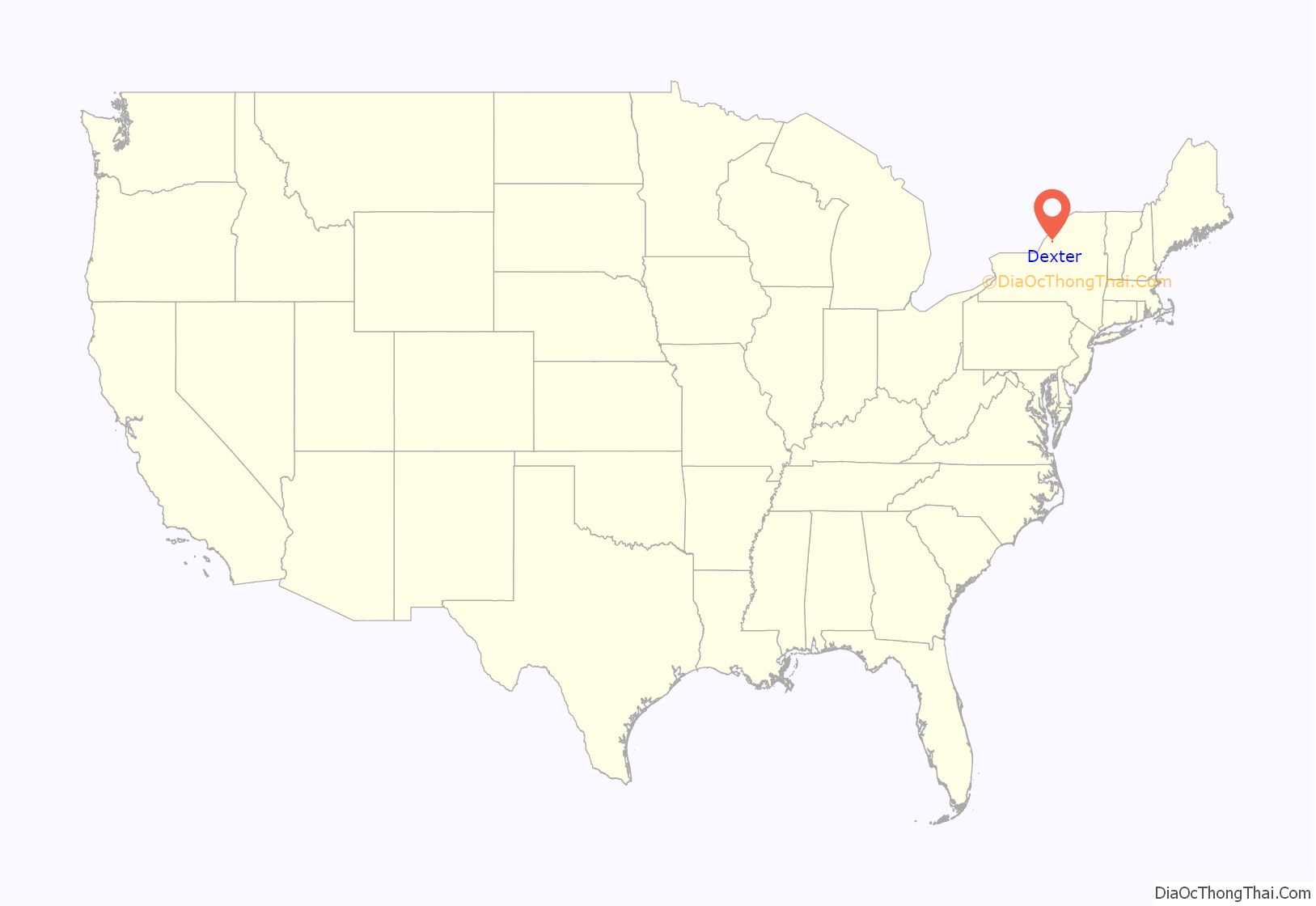
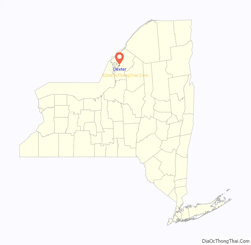
Dexter location map. Where is Dexter village?
History
The village was formerly called Fish Island and was part of the lands belonging to Jacob and John Brown. The village was renamed Dexter after Simon Newton Dexter.
Dexter became an incorporated village in 1855, with a population of about 528.
The Dexter Universalist Church was listed on the National Register of Historic Places in 2003.
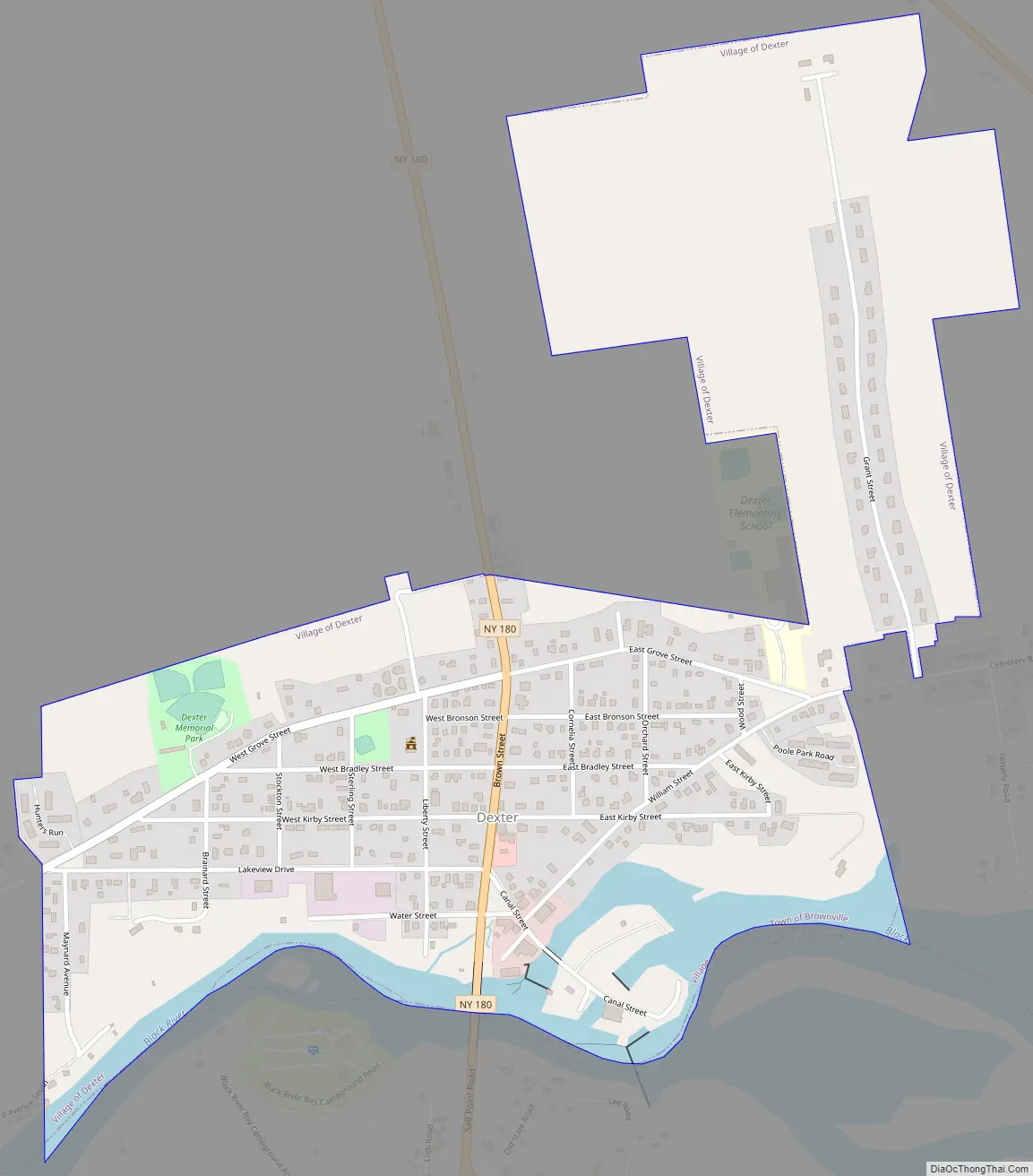
Dexter Road Map
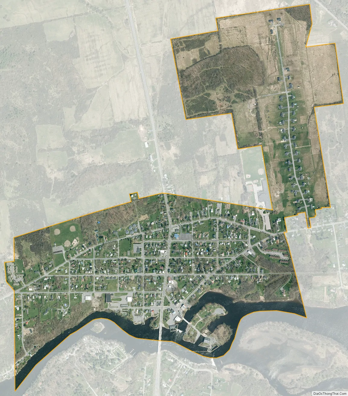
Dexter city Satellite Map
Geography
Dexter is located in west-central Jefferson County at 44°00′30″N 76°02′43″W / 44.008264°N 76.045363°W / 44.008264; -76.045363, in the southern part of the town of Brownville. According to the United States Census Bureau, the village has a total area of 0.8 square miles (2.0 km), of which 0.7 square miles (1.8 km) are land and 0.1 square miles (0.2 km), or 8.39%, are water.
The village is adjacent to the Black River, near Black River Bay, an arm of Lake Ontario. The village is bordered to the south across the river by the town of Hounsfield.
New York State Route 180, a north-south highway, passes through the village, leading north 1.5 miles (2.4 km) to Limerick and south 3.5 miles (5.6 km) to NY-3 near Sackets Harbor. Watertown, the Jefferson county seat, is 7 miles (11 km) to the east via Routes 180 and 12F. County Roads 53 and 59 also serve the community.
See also
Map of New York State and its subdivision:- Albany
- Allegany
- Bronx
- Broome
- Cattaraugus
- Cayuga
- Chautauqua
- Chemung
- Chenango
- Clinton
- Columbia
- Cortland
- Delaware
- Dutchess
- Erie
- Essex
- Franklin
- Fulton
- Genesee
- Greene
- Hamilton
- Herkimer
- Jefferson
- Kings
- Lake Ontario
- Lewis
- Livingston
- Madison
- Monroe
- Montgomery
- Nassau
- New York
- Niagara
- Oneida
- Onondaga
- Ontario
- Orange
- Orleans
- Oswego
- Otsego
- Putnam
- Queens
- Rensselaer
- Richmond
- Rockland
- Saint Lawrence
- Saratoga
- Schenectady
- Schoharie
- Schuyler
- Seneca
- Steuben
- Suffolk
- Sullivan
- Tioga
- Tompkins
- Ulster
- Warren
- Washington
- Wayne
- Westchester
- Wyoming
- Yates
- Alabama
- Alaska
- Arizona
- Arkansas
- California
- Colorado
- Connecticut
- Delaware
- District of Columbia
- Florida
- Georgia
- Hawaii
- Idaho
- Illinois
- Indiana
- Iowa
- Kansas
- Kentucky
- Louisiana
- Maine
- Maryland
- Massachusetts
- Michigan
- Minnesota
- Mississippi
- Missouri
- Montana
- Nebraska
- Nevada
- New Hampshire
- New Jersey
- New Mexico
- New York
- North Carolina
- North Dakota
- Ohio
- Oklahoma
- Oregon
- Pennsylvania
- Rhode Island
- South Carolina
- South Dakota
- Tennessee
- Texas
- Utah
- Vermont
- Virginia
- Washington
- West Virginia
- Wisconsin
- Wyoming


