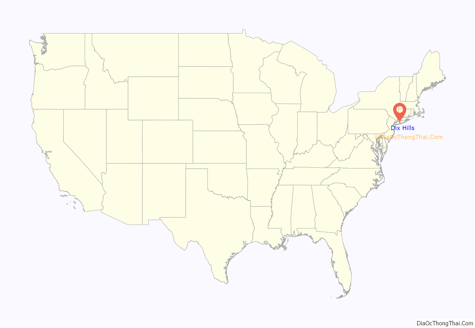
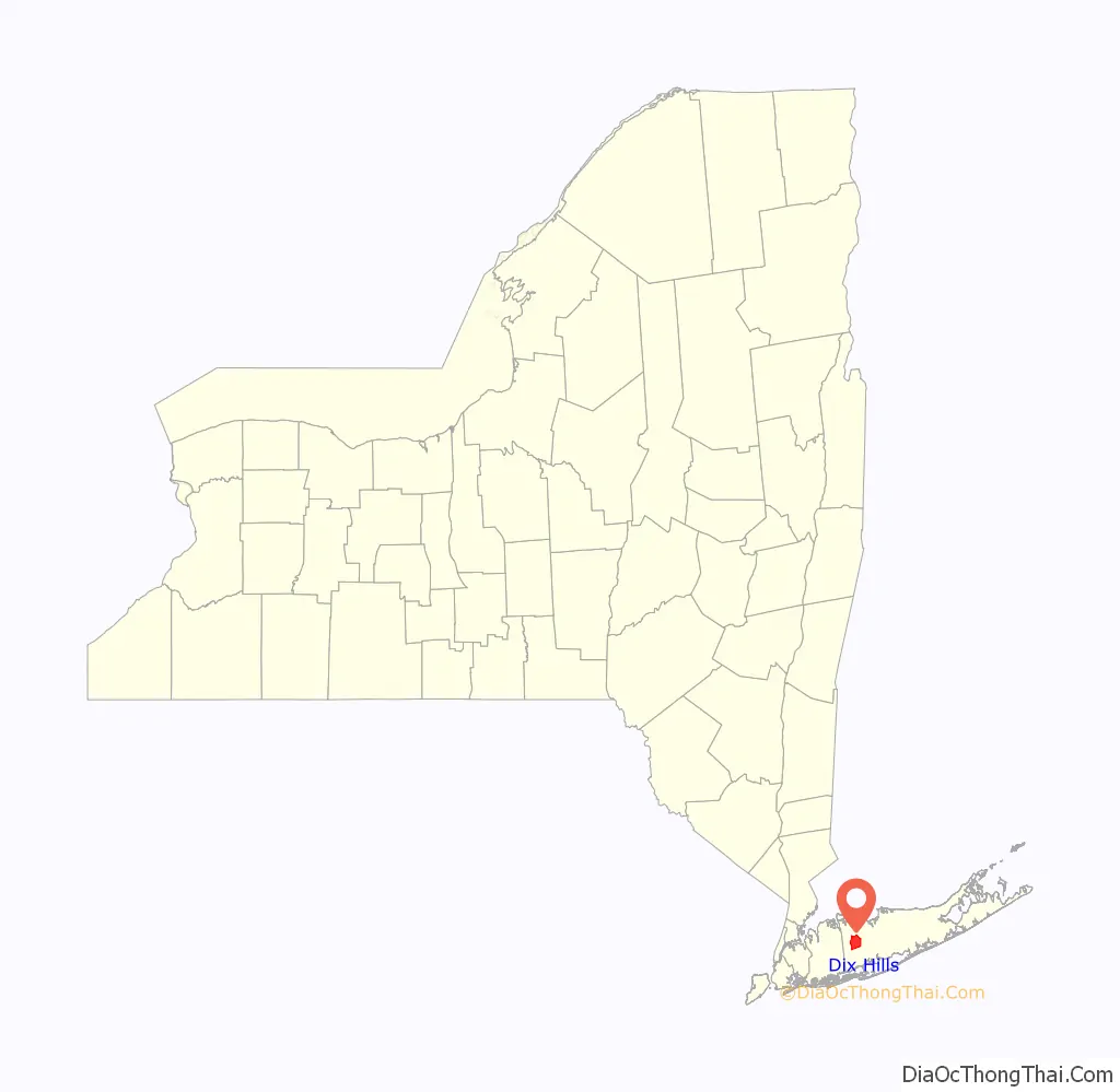
Dix Hills is a hamlet and census-designated place (CDP) on Long Island in the town of Huntington in Suffolk County, New York. The population was 26,180 at the 2020 census.
| Name: | Dix Hills CDP |
|---|---|
| LSAD Code: | 57 |
| LSAD Description: | CDP (suffix) |
| State: | New York |
| County: | Suffolk County |
| Elevation: | 203 ft (62 m) |
| Total Area: | 15.75 sq mi (40.79 km²) |
| Land Area: | 15.75 sq mi (40.79 km²) |
| Water Area: | 0.00 sq mi (0.00 km²) |
| Total Population: | 26,180 |
| Population Density: | 1,662.33/sq mi (641.81/km²) |
| ZIP code: | 11746 |
| Area code: | 631, 934 |
| FIPS code: | 3620687 |
| GNISfeature ID: | 1867400 |
Online Interactive Map
Click on ![]() to view map in "full screen" mode.
to view map in "full screen" mode.
Dix Hills location map. Where is Dix Hills CDP?
History
Settlers traded goods with the Indigenous Secatogue tribe for the land that became Dix Hills in 1699. The Secatogues lived in the northern portion of the region during the later half of that century. The land was known as Dick’s Hills. By lore, the name traces to a local native named Dick Pechegan, likely of the Secatogues. Scholar William Wallace Tooker wrote that the addition of the English name “Dick” to the indigenous name “Pechegan” was a common practice.
Tooker wrote that Pechegan’s wigwam and his planted fields became the hilly area’s namesake, known as the shortened “Dix Hills” by 1911. The area was mostly used for farming until after World War II.
In the 1950s, Dix Hills and its neighbors Wyandanch and Melville, along with the area known as Sweet Hollow, proposed to incorporate as a single village. This village would have been known as the Incorporated Village of Half Hollow Hills, would have had an area of roughly 50 square miles (130 km), and would have embraced the Half Hollow Hills Central School District (CSD 5). The plans were unsuccessful, and these areas would remain unincorporated.
Proposals were revived around 2001, when Dix Hills, Melville, Wheatley Heights, and East Farmingdale (all within the school district) proposed incorporating as a single village. These plans also failed and each remain unincorporated hamlets to this day.
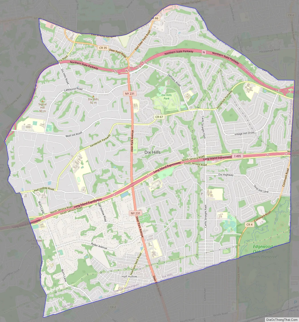
Dix Hills Road Map
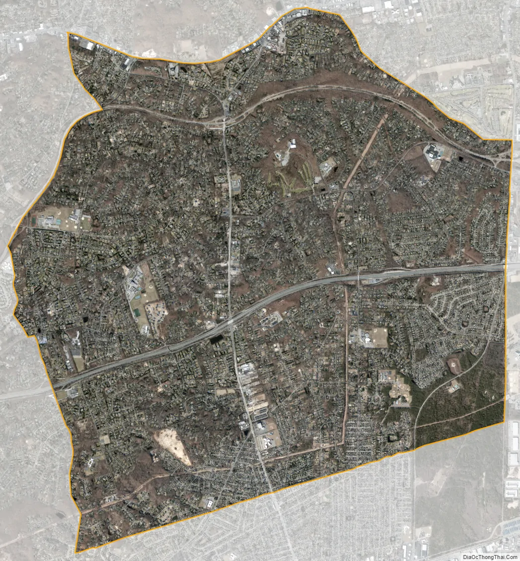
Dix Hills city Satellite Map
Geography
According to the United States Census Bureau, the CDP of Dix Hills has a total area of 15.9 square miles (41.3 km), all of it land. The town of Huntington, of which Dix Hills is a part, has a total area of 137.1 square miles (355.1 km), of which 94.1 square miles (243.8 km) is land and 43.0 square miles (111.3 km), or 31.35%, is water.
Dix Hills is located centrally on Long Island, on the southern edge of Huntington, bordering the town of Babylon.
The Long Island Expressway passes almost straight through the middle of the hamlet.
See also
Map of New York State and its subdivision:- Albany
- Allegany
- Bronx
- Broome
- Cattaraugus
- Cayuga
- Chautauqua
- Chemung
- Chenango
- Clinton
- Columbia
- Cortland
- Delaware
- Dutchess
- Erie
- Essex
- Franklin
- Fulton
- Genesee
- Greene
- Hamilton
- Herkimer
- Jefferson
- Kings
- Lake Ontario
- Lewis
- Livingston
- Madison
- Monroe
- Montgomery
- Nassau
- New York
- Niagara
- Oneida
- Onondaga
- Ontario
- Orange
- Orleans
- Oswego
- Otsego
- Putnam
- Queens
- Rensselaer
- Richmond
- Rockland
- Saint Lawrence
- Saratoga
- Schenectady
- Schoharie
- Schuyler
- Seneca
- Steuben
- Suffolk
- Sullivan
- Tioga
- Tompkins
- Ulster
- Warren
- Washington
- Wayne
- Westchester
- Wyoming
- Yates
- Alabama
- Alaska
- Arizona
- Arkansas
- California
- Colorado
- Connecticut
- Delaware
- District of Columbia
- Florida
- Georgia
- Hawaii
- Idaho
- Illinois
- Indiana
- Iowa
- Kansas
- Kentucky
- Louisiana
- Maine
- Maryland
- Massachusetts
- Michigan
- Minnesota
- Mississippi
- Missouri
- Montana
- Nebraska
- Nevada
- New Hampshire
- New Jersey
- New Mexico
- New York
- North Carolina
- North Dakota
- Ohio
- Oklahoma
- Oregon
- Pennsylvania
- Rhode Island
- South Carolina
- South Dakota
- Tennessee
- Texas
- Utah
- Vermont
- Virginia
- Washington
- West Virginia
- Wisconsin
- Wyoming


