Melville is an affluent hamlet and census-designated place (CDP) in the Town of Huntington in Suffolk County on Long Island, New York. The population was 19,284 at the 2020 census.
| Name: | Melville CDP |
|---|---|
| LSAD Code: | 57 |
| LSAD Description: | CDP (suffix) |
| State: | New York |
| County: | Suffolk County |
| Elevation: | 135 ft (41 m) |
| Total Area: | 12.11 sq mi (31.37 km²) |
| Land Area: | 12.11 sq mi (31.37 km²) |
| Water Area: | 0.00 sq mi (0.00 km²) |
| Total Population: | 19,284 |
| Population Density: | 1,592.27/sq mi (614.78/km²) |
| ZIP code: | 11747, 11760, 11775 |
| Area code: | 631 |
| FIPS code: | 3646514 |
| GNISfeature ID: | 0956931 |
Online Interactive Map
Click on ![]() to view map in "full screen" mode.
to view map in "full screen" mode.
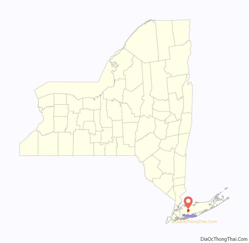
Melville location map. Where is Melville CDP?

History
The area was known to the Native Americans as Sunsquams. In the 17th century it was known as Samuel Ketcham’s Valley, named for a local resident. Afterwards it was known as Sweet Hollow. This name was replaced by Melville in school records in 1854. There is some debate as to the origin of the Melville name. It may be derived from the Latin for honey (the area had an abundance of honey bees, and this may have also been the origin of the previous Sweet Hollow name). The author Herman Melville was being published around this time.
A Presbyterian church was built in Melville in 1829 at the corner of Old Country and Sweet Hollow Roads. In 1977 the church was moved 1 mile (1.6 km) to the west. The church was in continuous use until 1930. It reopened in 1944 for the funeral of Edward Baylis and has been in use since then.
In 1909 a trolley line to Huntington was established. This was an extension of the Huntington Trolley Spur and went as far south as Amityville and had a connection to Babylon. There were six fare zones, one of which was the Duryea Farm at Melville. The line was shut down a decade later after farmers complained that noise from the trolley frightened their animals. Buses provided transportation after the trolley line closed. The growing use of private cars also reduced demand for the trolley line.
In the 1950s, Melville and its neighbors Dix Hills and Wyandanch, along with the area known as Sweet Hollow, proposed to incorporate as a single village. This village would have been known as the Incorporated Village of Half Hollow Hills, would have had an area of roughly 50 square miles (130 km), and would have embraced the Half Hollow Hills Central School District (CSD 5). The plans were unsuccessful.
Proposals were revived around 2001, when Melville, Dix Hills Wheatley Heights, and East Farmingdale (all within the school district) proposed incorporating as a single village. These plans also failed and each remain unincorporated hamlets to this day.
In May 2011, construction commenced for the replacement of the Northern State Parkway bridge over Route 110. The original bridge was 63 years old. The project was budgeted for $56,000,000 and was completed in 2014.
Long Island’s highest point is Jayne’s Hill in the neighboring hamlet of West Hills, with an elevation of 387 feet (118 m) to 400.9 feet (122.2 m) above sea level.
Melville is also home to one of New York Senator and Senate Minority Leader Chuck Schumer’s nine home state offices.
In the past, Melville and some of its neighbors have unsuccessfully proposed incorporating as the Incorporated Village of Half Hollow Hills.
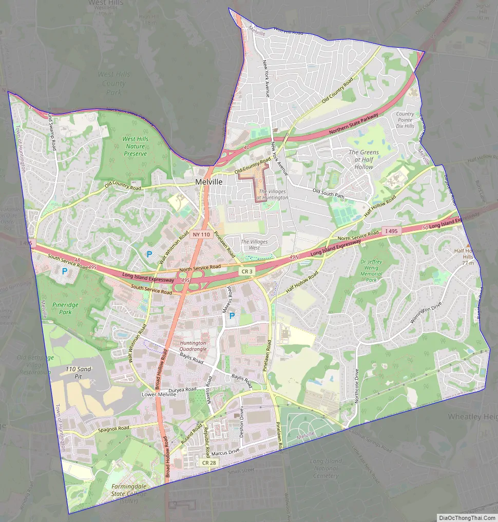
Melville Road Map
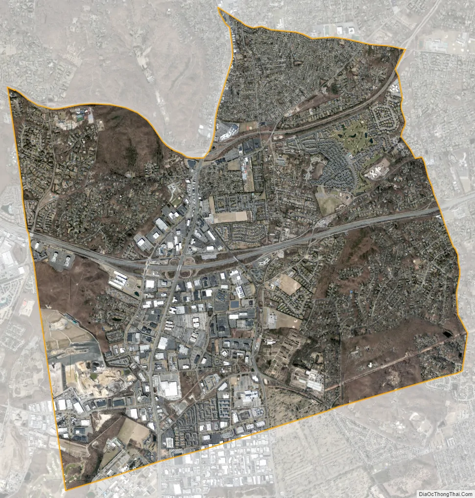
Melville city Satellite Map
Geography
Melville is located at 40°47′30″N 73°24′20″W / 40.79167°N 73.40556°W / 40.79167; -73.40556 (40.791593, −73.405439).
According to the U.S. Census Bureau, Melville has a total area of 12.1 square miles (31.3 km).
Melville lies directly east of the boundary with Nassau County.
See also
Map of New York State and its subdivision:- Albany
- Allegany
- Bronx
- Broome
- Cattaraugus
- Cayuga
- Chautauqua
- Chemung
- Chenango
- Clinton
- Columbia
- Cortland
- Delaware
- Dutchess
- Erie
- Essex
- Franklin
- Fulton
- Genesee
- Greene
- Hamilton
- Herkimer
- Jefferson
- Kings
- Lake Ontario
- Lewis
- Livingston
- Madison
- Monroe
- Montgomery
- Nassau
- New York
- Niagara
- Oneida
- Onondaga
- Ontario
- Orange
- Orleans
- Oswego
- Otsego
- Putnam
- Queens
- Rensselaer
- Richmond
- Rockland
- Saint Lawrence
- Saratoga
- Schenectady
- Schoharie
- Schuyler
- Seneca
- Steuben
- Suffolk
- Sullivan
- Tioga
- Tompkins
- Ulster
- Warren
- Washington
- Wayne
- Westchester
- Wyoming
- Yates
- Alabama
- Alaska
- Arizona
- Arkansas
- California
- Colorado
- Connecticut
- Delaware
- District of Columbia
- Florida
- Georgia
- Hawaii
- Idaho
- Illinois
- Indiana
- Iowa
- Kansas
- Kentucky
- Louisiana
- Maine
- Maryland
- Massachusetts
- Michigan
- Minnesota
- Mississippi
- Missouri
- Montana
- Nebraska
- Nevada
- New Hampshire
- New Jersey
- New Mexico
- New York
- North Carolina
- North Dakota
- Ohio
- Oklahoma
- Oregon
- Pennsylvania
- Rhode Island
- South Carolina
- South Dakota
- Tennessee
- Texas
- Utah
- Vermont
- Virginia
- Washington
- West Virginia
- Wisconsin
- Wyoming


