Duanesburg is a census-designated place within the town of Duanesburg in Schenectady County, New York, United States. The name of the CDP is the name of a hamlet in that region of the town. The census provides separate or additional population and demographic data for the more densely populated central settlement described by the CDP. The population was 391 at the 2010 census.
(For aggregate values and other information about the town as a whole, See: Duanesburg, New York. )
| Name: | Duanesburg CDP |
|---|---|
| LSAD Code: | 57 |
| LSAD Description: | CDP (suffix) |
| State: | New York |
| County: | Schenectady County |
| Elevation: | 719 ft (219 m) |
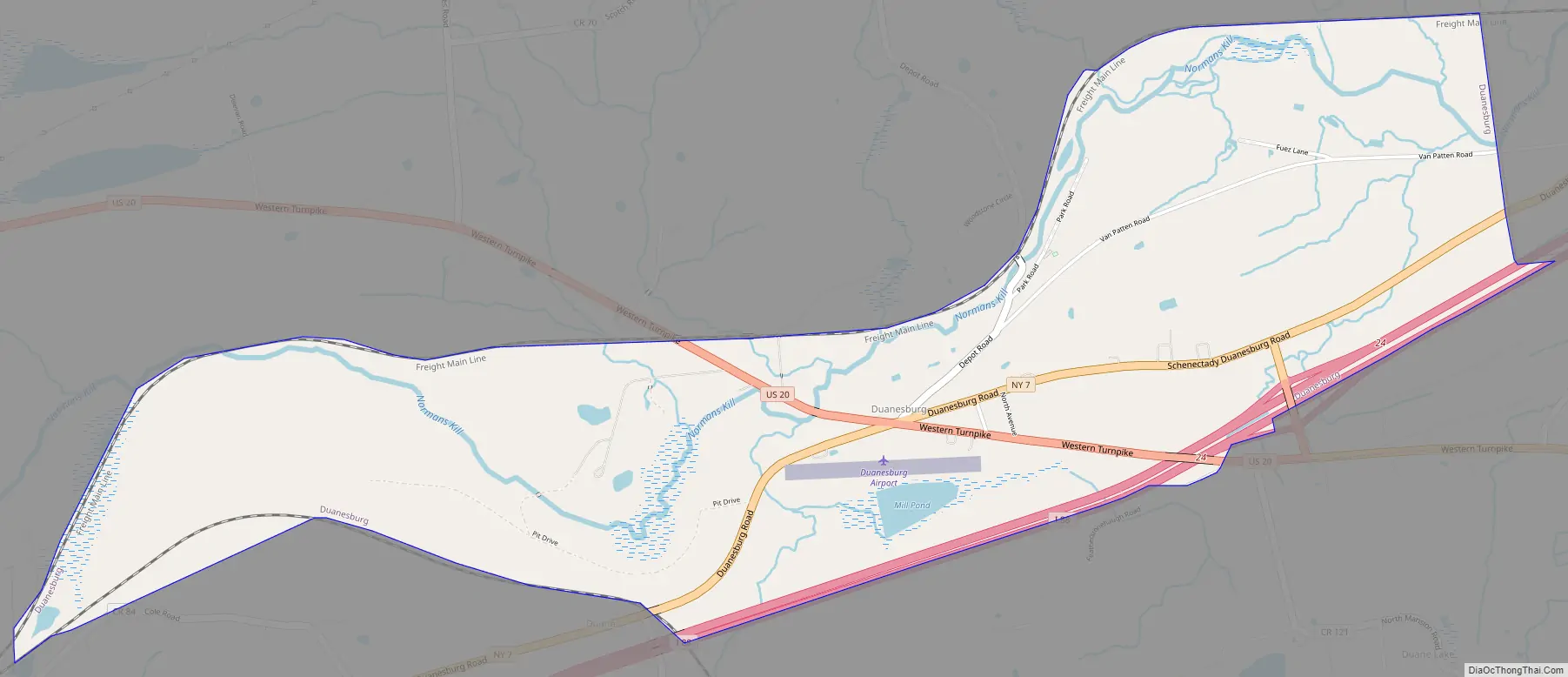
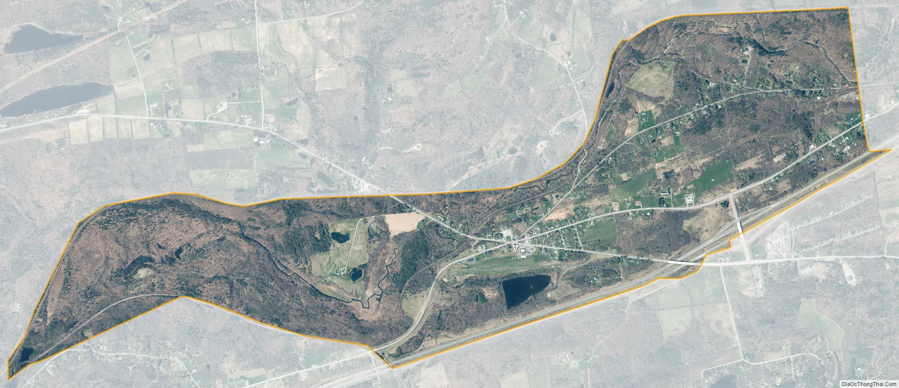
| Total Area: | 2.55 sq mi (6.60 km²) |
| Land Area: | 2.45 sq mi (6.35 km²) |
| Water Area: | 0.10 sq mi (0.25 km²) |
| Total Population: | 379 |
| Population Density: | 154.57/sq mi (59.67/km²) |
| ZIP code: | 12056 |
| Area code: | 518 |
| FIPS code: | 3620995 |
| GNISfeature ID: | 0948718 |
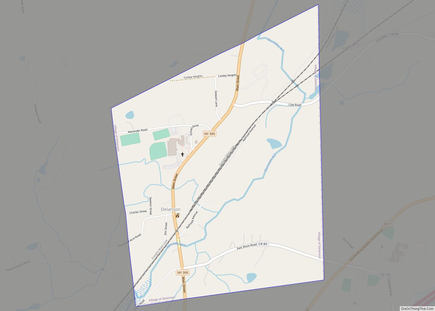
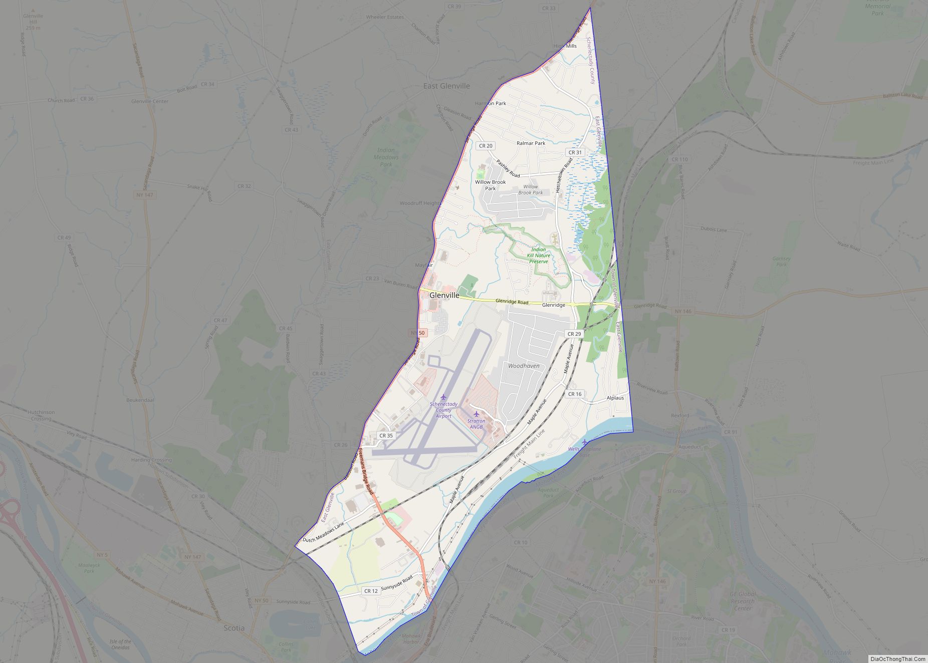
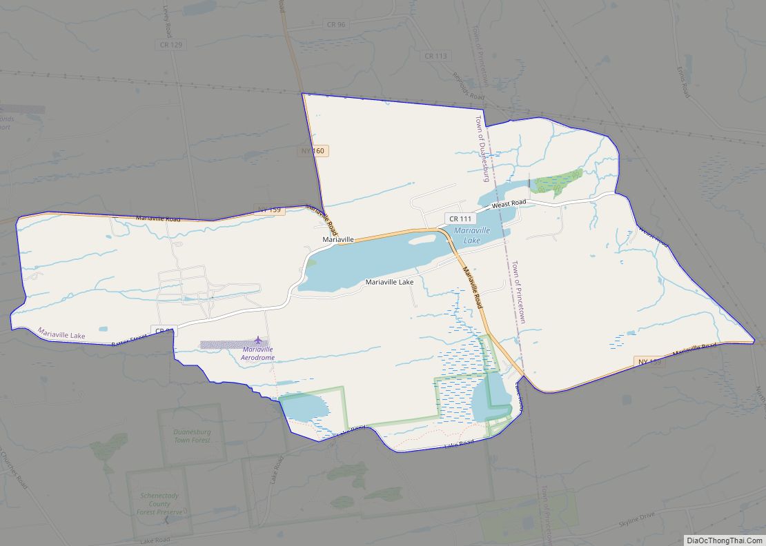
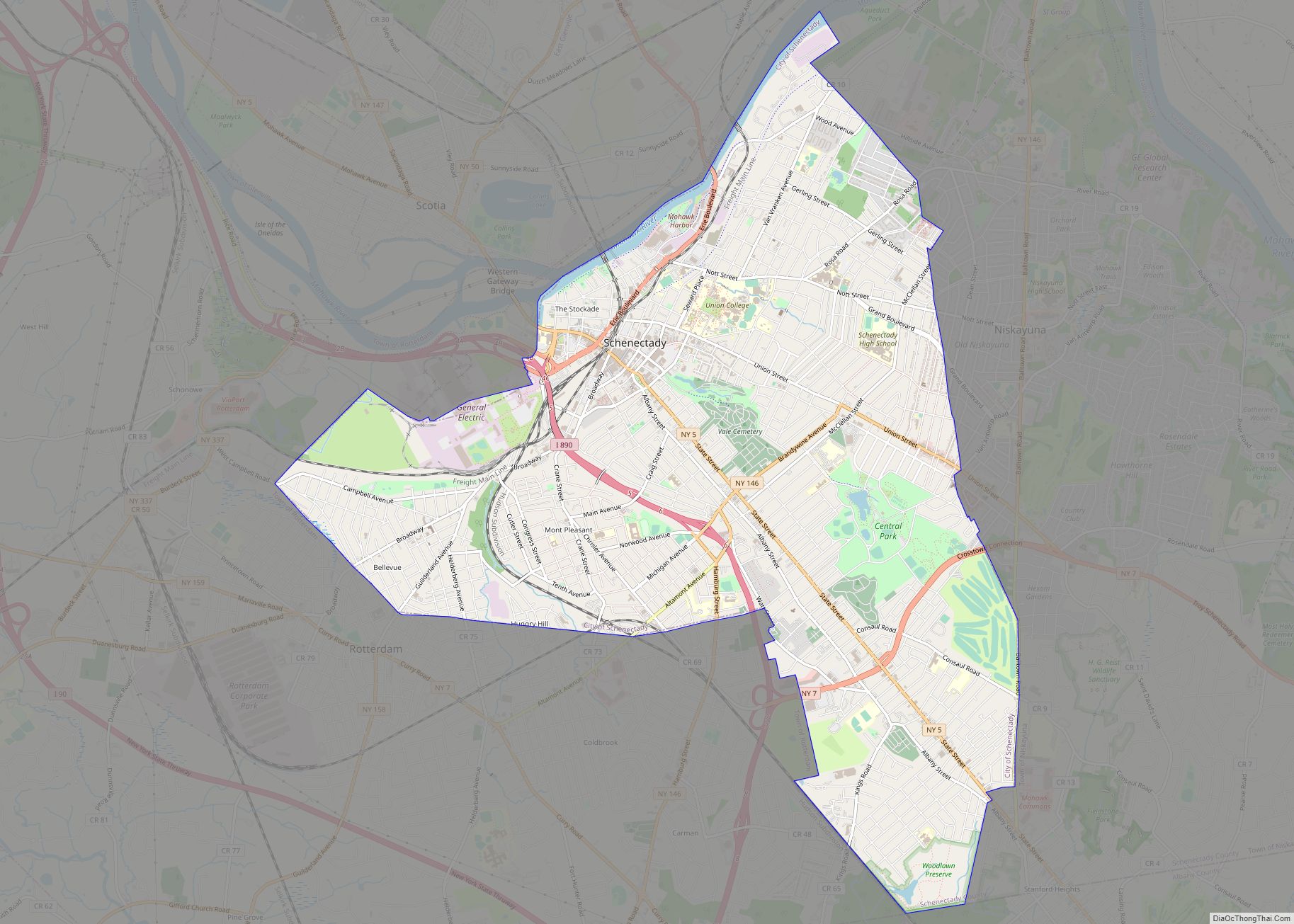
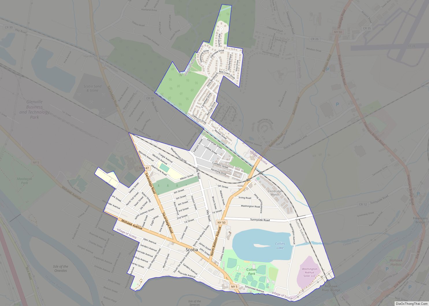
Online Interactive Map
Click on ![]() to view map in "full screen" mode.
to view map in "full screen" mode.
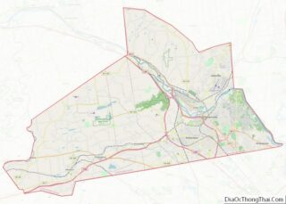
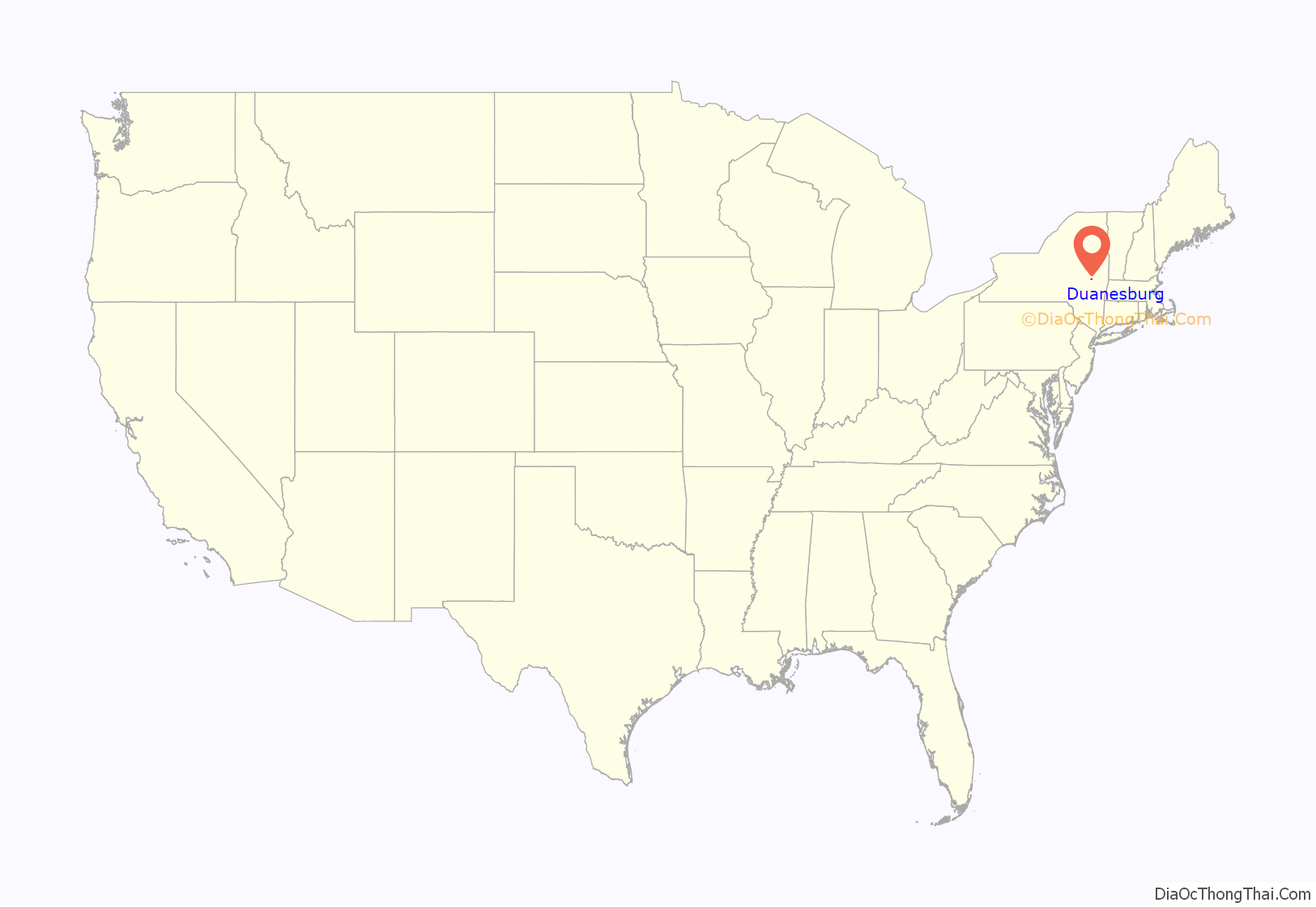
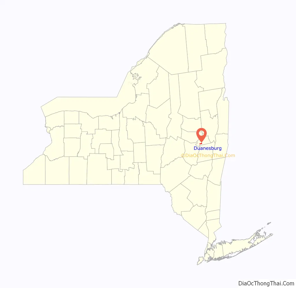
Duanesburg location map. Where is Duanesburg CDP?
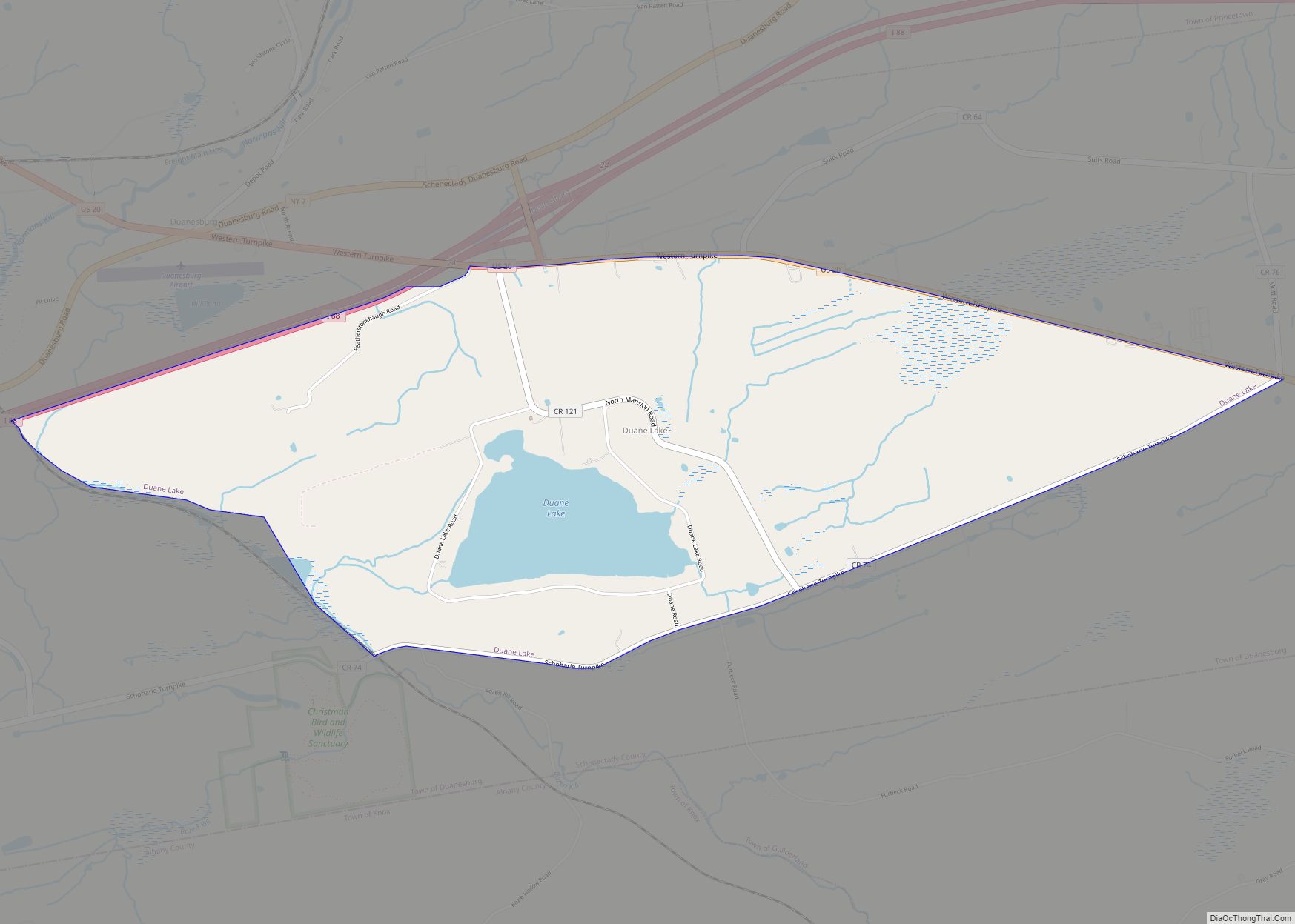
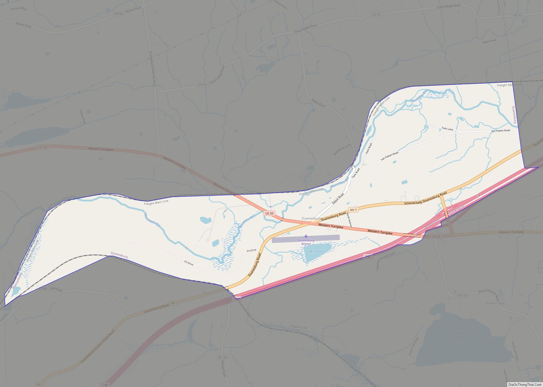
Duanesburg Road Map
Duanesburg city Satellite Map
Geography
According to the United States Census Bureau, the settlement consists of a total area of 2.5 square miles (6.6 km) within the town, of which 2.4 square miles (6.3 km) is land, and 0.077 square miles (0.2 km) (3.77%) is water.
See also
Map of New York State and its subdivision:- Albany
- Allegany
- Bronx
- Broome
- Cattaraugus
- Cayuga
- Chautauqua
- Chemung
- Chenango
- Clinton
- Columbia
- Cortland
- Delaware
- Dutchess
- Erie
- Essex
- Franklin
- Fulton
- Genesee
- Greene
- Hamilton
- Herkimer
- Jefferson
- Kings
- Lake Ontario
- Lewis
- Livingston
- Madison
- Monroe
- Montgomery
- Nassau
- New York
- Niagara
- Oneida
- Onondaga
- Ontario
- Orange
- Orleans
- Oswego
- Otsego
- Putnam
- Queens
- Rensselaer
- Richmond
- Rockland
- Saint Lawrence
- Saratoga
- Schenectady
- Schoharie
- Schuyler
- Seneca
- Steuben
- Suffolk
- Sullivan
- Tioga
- Tompkins
- Ulster
- Warren
- Washington
- Wayne
- Westchester
- Wyoming
- Yates
- Alabama
- Alaska
- Arizona
- Arkansas
- California
- Colorado
- Connecticut
- Delaware
- District of Columbia
- Florida
- Georgia
- Hawaii
- Idaho
- Illinois
- Indiana
- Iowa
- Kansas
- Kentucky
- Louisiana
- Maine
- Maryland
- Massachusetts
- Michigan
- Minnesota
- Mississippi
- Missouri
- Montana
- Nebraska
- Nevada
- New Hampshire
- New Jersey
- New Mexico
- New York
- North Carolina
- North Dakota
- Ohio
- Oklahoma
- Oregon
- Pennsylvania
- Rhode Island
- South Carolina
- South Dakota
- Tennessee
- Texas
- Utah
- Vermont
- Virginia
- Washington
- West Virginia
- Wisconsin
- Wyoming