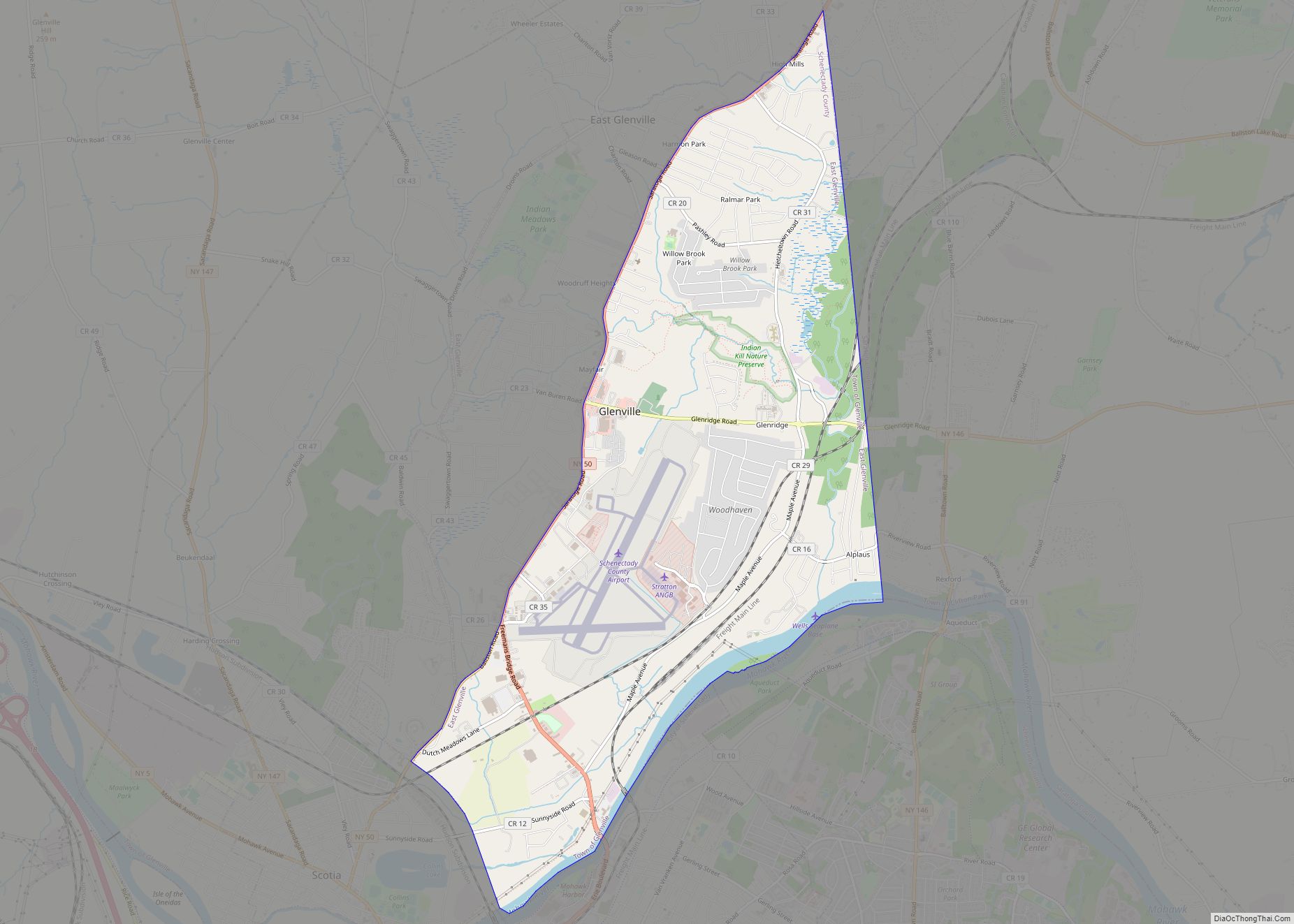
Scotia is a village in Schenectady County, New York, United States, incorporated in 1904. The population was 7,729 at the 2010 census. Scotia is part of the town of Glenville, and is connected with the city of Schenectady by the Western Gateway Bridge over the Mohawk River.
| Name: | Scotia village |
|---|---|
| LSAD Code: | 47 |
| LSAD Description: | village (suffix) |
| State: | New York |
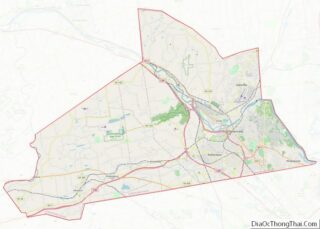
| County: | Schenectady County |
| Elevation: | 243 ft (74 m) |
| Total Area: | 1.79 sq mi (4.63 km²) |
| Land Area: | 1.69 sq mi (4.37 km²) |
| Water Area: | 0.10 sq mi (0.25 km²) |
| Total Population: | 7,272 |
| Population Density: | 4,308.06/sq mi (1,663.31/km²) |
| ZIP code: | 12302 |
| Area code: | 518 |
| FIPS code: | 3665893 |
| GNISfeature ID: | 0964672 |
| Website: | www.villageofscotia.org |
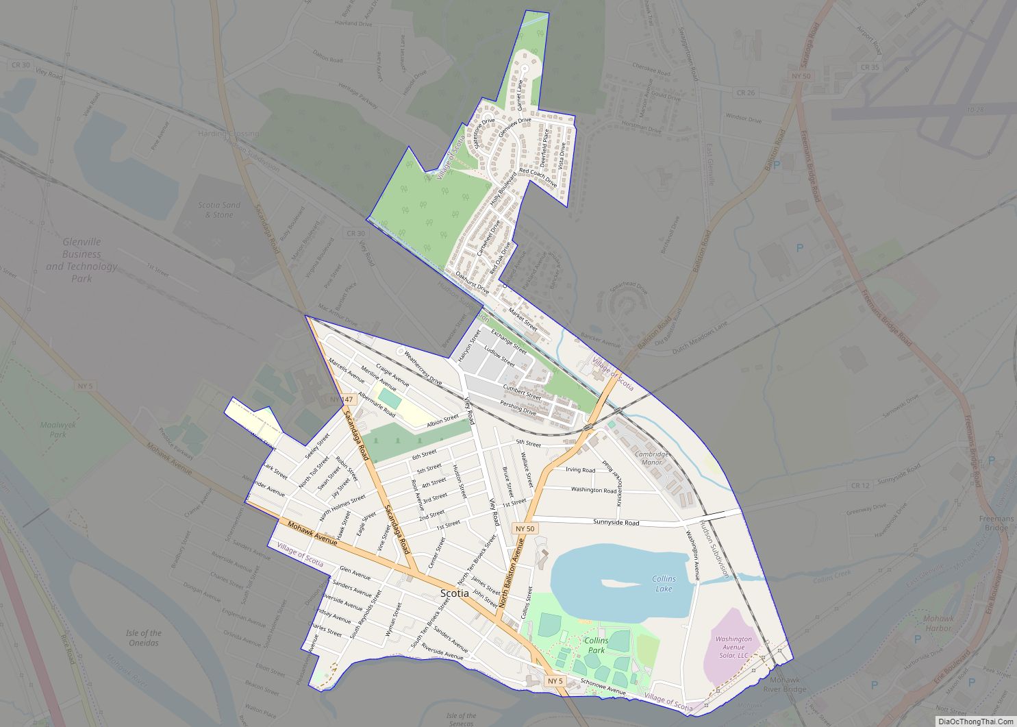
Online Interactive Map
Click on ![]() to view map in "full screen" mode.
to view map in "full screen" mode.
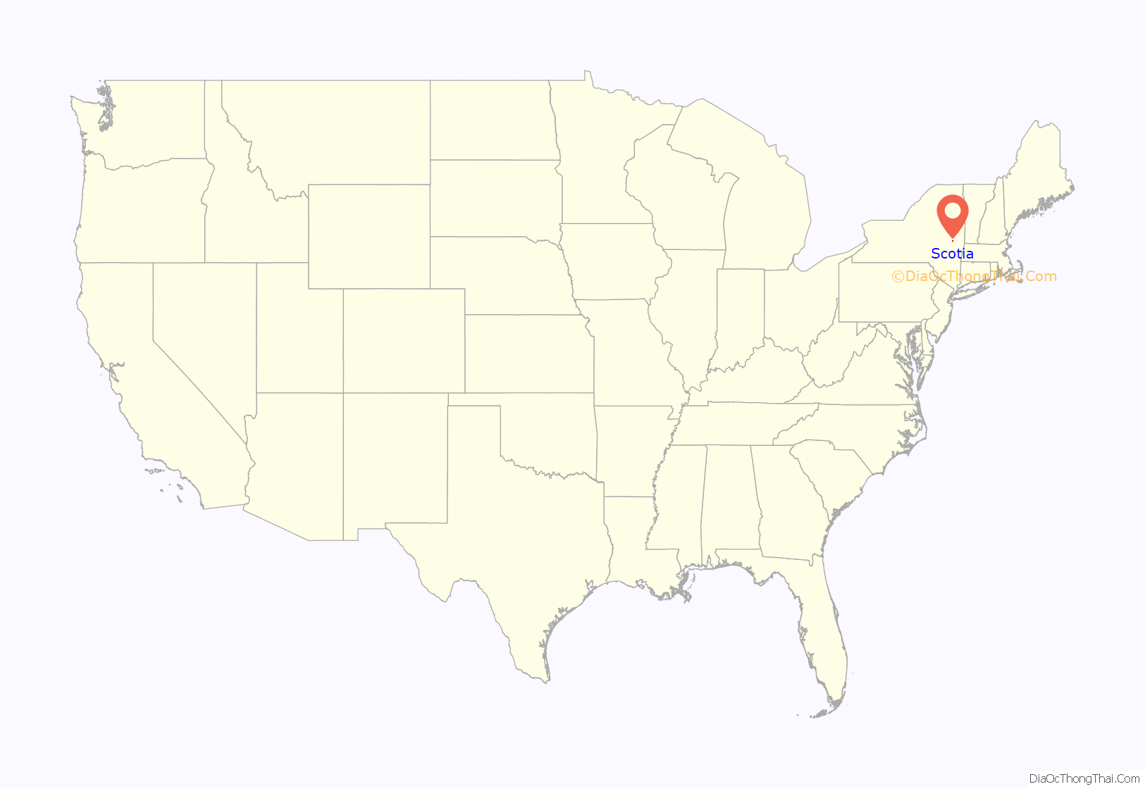
Scotia location map. Where is Scotia village?

History
The land was purchased by Alexander Lindsay Glen, a native of Scotland, from the Mohawk people in the 17th century. Glen named his estate Scotia (Latin for “Scotland”) after his home country. Scotia was the location of a military encampment during both the French and Indian War of 1754 and again during the War of 1812. During the 1800s, Scotia was known for its production of brooms, over 1 million annually for a time. In the 20th century, Scotia became a thriving bedroom community for employees of Schenectady employers such as General Electric. During World War II the Scotia Naval Supply Depot (1942-1971) employed over 2000 workers.
Historic buildings:
- Glen Sanders Mansion, parts dating to 1713
- Abraham Glen House, 1730s
- Flint House, early 19th century
- First Baptist Church, 1872
- Holland House (W.T. Mynderse mansion), built 1914
- Scotia Reformed Church, founded 1818, present building 1952.
- The United States Post Office, built 1940, contains a tempera mural, The Glen Family Spared by French and Indians – 1690, painted by muralist Amy Jones (artist) in 1941. in tempera and listed on the National Register of Historic Places.
Scotia Road Map

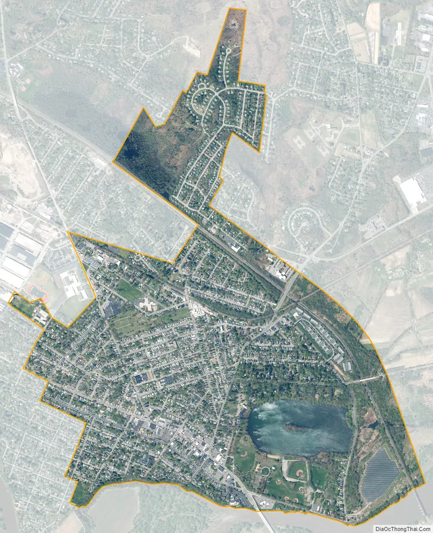
Scotia city Satellite Map
Geography
Scotia is on the north bank of the Mohawk River at 42°50′N 73°58′W / 42.833°N 73.967°W / 42.833; -73.967 (42.8313, -73.9654).
According to the United States Census Bureau, the village has a total area of 1.8 square miles (4.6 km), of which 1.7 square miles (4.4 km) is land and 0.12 square miles (0.3 km), or 5.82%, is water.
See also
Map of New York State and its subdivision:- Albany
- Allegany
- Bronx
- Broome
- Cattaraugus
- Cayuga
- Chautauqua
- Chemung
- Chenango
- Clinton
- Columbia
- Cortland
- Delaware
- Dutchess
- Erie
- Essex
- Franklin
- Fulton
- Genesee
- Greene
- Hamilton
- Herkimer
- Jefferson
- Kings
- Lake Ontario
- Lewis
- Livingston
- Madison
- Monroe
- Montgomery
- Nassau
- New York
- Niagara
- Oneida
- Onondaga
- Ontario
- Orange
- Orleans
- Oswego
- Otsego
- Putnam
- Queens
- Rensselaer
- Richmond
- Rockland
- Saint Lawrence
- Saratoga
- Schenectady
- Schoharie
- Schuyler
- Seneca
- Steuben
- Suffolk
- Sullivan
- Tioga
- Tompkins
- Ulster
- Warren
- Washington
- Wayne
- Westchester
- Wyoming
- Yates
- Alabama
- Alaska
- Arizona
- Arkansas
- California
- Colorado
- Connecticut
- Delaware
- District of Columbia
- Florida
- Georgia
- Hawaii
- Idaho
- Illinois
- Indiana
- Iowa
- Kansas
- Kentucky
- Louisiana
- Maine
- Maryland
- Massachusetts
- Michigan
- Minnesota
- Mississippi
- Missouri
- Montana
- Nebraska
- Nevada
- New Hampshire
- New Jersey
- New Mexico
- New York
- North Carolina
- North Dakota
- Ohio
- Oklahoma
- Oregon
- Pennsylvania
- Rhode Island
- South Carolina
- South Dakota
- Tennessee
- Texas
- Utah
- Vermont
- Virginia
- Washington
- West Virginia
- Wisconsin
- Wyoming