East Aurora is a village in Erie County, New York, United States, southeast of Buffalo. It lies in the eastern half of the town of Aurora. The village population was 5,998 per the 2020 census. It is part of the Buffalo–Niagara Falls Metropolitan Statistical Area. In 2015, East Aurora was rated the third-best town to raise a family in New York State by Niche. According to the National Council of Home Safety and Security, it is also among the safest places to live in New York State (ranked 1st, 2018).
| Name: | East Aurora village |
|---|---|
| LSAD Code: | 47 |
| LSAD Description: | village (suffix) |
| State: | New York |
| County: | Erie County |
| Elevation: | 919 ft (280 m) |
| Total Area: | 2.52 sq mi (6.53 km²) |
| Land Area: | 2.51 sq mi (6.50 km²) |
| Water Area: | 0.01 sq mi (0.03 km²) |
| Total Population: | 5,998 |
| Population Density: | 2,388.69/sq mi (922.30/km²) |
| ZIP code: | 14052 |
| Area code: | 716, 585 |
| FIPS code: | 3621589 |
| GNISfeature ID: | 0948967 |
| Website: | www.east-aurora.ny.us |
Online Interactive Map
Click on ![]() to view map in "full screen" mode.
to view map in "full screen" mode.
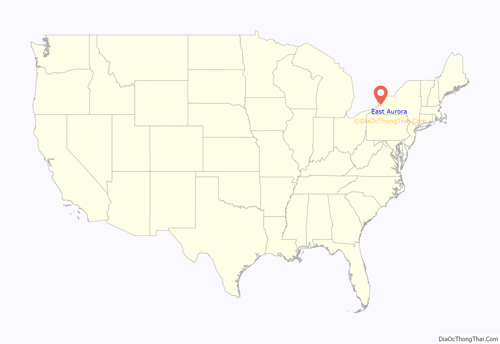
East Aurora location map. Where is East Aurora village?
History
The village was founded in 1804, and incorporated in 1874.
Prior to becoming President of the United States, Millard Fillmore lived in East Aurora with his wife Abigail from 1826 to 1830. The house he built there while practicing law in the beginning of his political career is currently maintained by the Aurora Historical Society. The 1825 structure is restored to that period and features some original Fillmore furniture of the era, as well as items from Fillmore’s presidential years. The home is currently located at 24 Shearer Avenue in the village of East Aurora.
The founder of the Roycroft Movement, Elbert Hubbard, also lived there during the turn of the twentieth century. Hubbard and his wife died on board the RMS Lusitania in 1915. One of the town’s most famous landmarks, the Roycroft Inn, was converted from the Hubbards’ original print shop and opened as an inn in 1905 to accommodate the influx of famous visitors attracted by Hubbard’s ideas as well as the books, Mission-style furniture and metalware produced by the 500 Roycroft artisans on the South Grove Street Roycroft campus. The Roycroft Campus was granted National Landmark Status in 1986. The Roycroft Inn was re-opened in June 1995 through the support of the Margaret L. Wendt Foundation. The inn was completely restored and is open to the public for dining and accommodations. The Elbert Hubbard Museum on Oakwood Avenue features an extensive collection of Roycroft books and Arts & Crafts pieces.
East Aurora is also the birthplace of and home to the corporate headquarters for Fisher-Price. From 1987 through 2007 the village and the Toy Town Museum (an independent non-profit organization located on the Fisher-Price campus) held the Toyfest Festival, which included the Toyfest parade featuring giant replicas of classic Fisher-Price toys. The three-day event was usually held at Hamlin Park and included an amusement park, circus-like attractions and a Fisher-Price play area where young children could play with a variety of toys.
The town was the home of the inaugural owner of the NHL franchise Buffalo Sabres, Seymour H. Knox III. The Knox Estates, now known as Knox Farm, is a 633-acre (2.56 km) New York state park. It is located on the northwest edge of the village.
East Aurora is home to the corporate headquarters of Moog, Inc. Moog is a designer and manufacturer of motion and fluid controls and control systems for applications in aerospace, defense, industrial and medical devices. The company operates under three segments: aircraft controls, space and defense controls, and industrial systems.
The Millard Fillmore House, George and Gladys Scheidemantel House, and Roycroft Campus are listed on the National Register of Historic Places. The Adams family were the first settlers to stay a winter in East Aurora in 1804 and the family farm still stands today on Olean Road.
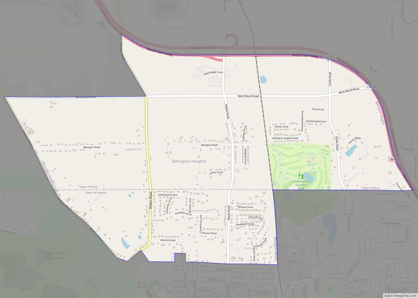
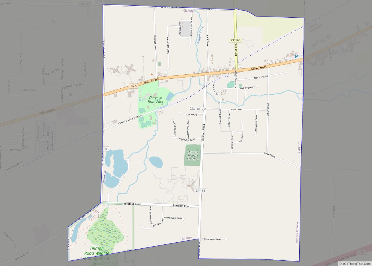
East Aurora Road Map
East Aurora city Satellite Map
Geography
East Aurora is located at 42°46′1″N 78°37′2″W / 42.76694°N 78.61722°W / 42.76694; -78.61722 (42.766809, -78.617121).
According to the United States Census Bureau, the village has a total area of 2.5 square miles (6.5 km), all land.
Main Street in the village is U.S. Route 20A.
Points of interest
Main Street in East Aurora is lined with a variety of specialty shops, restaurants, churches, municipal buildings and carefully preserved homes. Businesses include the Toy Loft (a local toy store), Vidler’s (an old-fashioned five and dime store), Arriba Tortilla (one of the Town’s Mexican eateries), and the Aurora Theatre, a 650-seat, big-screen cinema theatre with a classic, old-fashioned neon marquee. The East Aurora Advertiser, the community newspaper since 1872, has occupied its Main St. office for more than 100 years. On Riley Street sits the Healthy Zone rink which was created by the Aurora Ice Association. They have made gradual improvements to the outdoor facility since its inception, including a roof and a brand new warming lodge that was opened in November 2015. The rinks components such as the boards, glass and refrigeration system were purchased by the Aurora Ice Association and is the same equipment used in the 2008 NHL Winter Classic between the Buffalo Sabres and the Pittsburgh Penguins.
See also
Map of New York State and its subdivision:- Albany
- Allegany
- Bronx
- Broome
- Cattaraugus
- Cayuga
- Chautauqua
- Chemung
- Chenango
- Clinton
- Columbia
- Cortland
- Delaware
- Dutchess
- Erie
- Essex
- Franklin
- Fulton
- Genesee
- Greene
- Hamilton
- Herkimer
- Jefferson
- Kings
- Lake Ontario
- Lewis
- Livingston
- Madison
- Monroe
- Montgomery
- Nassau
- New York
- Niagara
- Oneida
- Onondaga
- Ontario
- Orange
- Orleans
- Oswego
- Otsego
- Putnam
- Queens
- Rensselaer
- Richmond
- Rockland
- Saint Lawrence
- Saratoga
- Schenectady
- Schoharie
- Schuyler
- Seneca
- Steuben
- Suffolk
- Sullivan
- Tioga
- Tompkins
- Ulster
- Warren
- Washington
- Wayne
- Westchester
- Wyoming
- Yates
- Alabama
- Alaska
- Arizona
- Arkansas
- California
- Colorado
- Connecticut
- Delaware
- District of Columbia
- Florida
- Georgia
- Hawaii
- Idaho
- Illinois
- Indiana
- Iowa
- Kansas
- Kentucky
- Louisiana
- Maine
- Maryland
- Massachusetts
- Michigan
- Minnesota
- Mississippi
- Missouri
- Montana
- Nebraska
- Nevada
- New Hampshire
- New Jersey
- New Mexico
- New York
- North Carolina
- North Dakota
- Ohio
- Oklahoma
- Oregon
- Pennsylvania
- Rhode Island
- South Carolina
- South Dakota
- Tennessee
- Texas
- Utah
- Vermont
- Virginia
- Washington
- West Virginia
- Wisconsin
- Wyoming
