East Marion is a census-designated place (CDP) that roughly corresponds to the hamlet by the same name in the town of Southold in Suffolk County, New York, United States. The CDP population was 926 at the 2010 census.
| Name: | East Marion CDP |
|---|---|
| LSAD Code: | 57 |
| LSAD Description: | CDP (suffix) |
| State: | New York |
| County: | Suffolk County |
| Elevation: | 33 ft (10 m) |
| Total Area: | 3.68 sq mi (9.53 km²) |
| Land Area: | 2.24 sq mi (5.80 km²) |
| Water Area: | 1.44 sq mi (3.74 km²) |
| Total Population: | 1,048 |
| Population Density: | 468.28/sq mi (180.77/km²) |
| ZIP code: | 11939 |
| Area code: | 631 |
| FIPS code: | 3622447 |
| GNISfeature ID: | 0949163 |
Online Interactive Map
Click on ![]() to view map in "full screen" mode.
to view map in "full screen" mode.
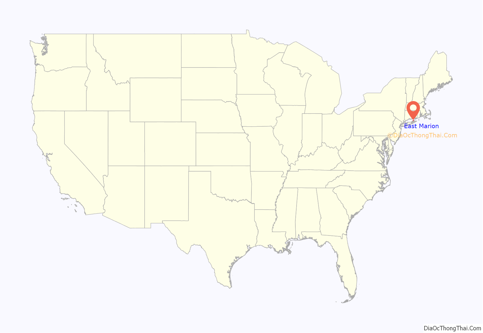
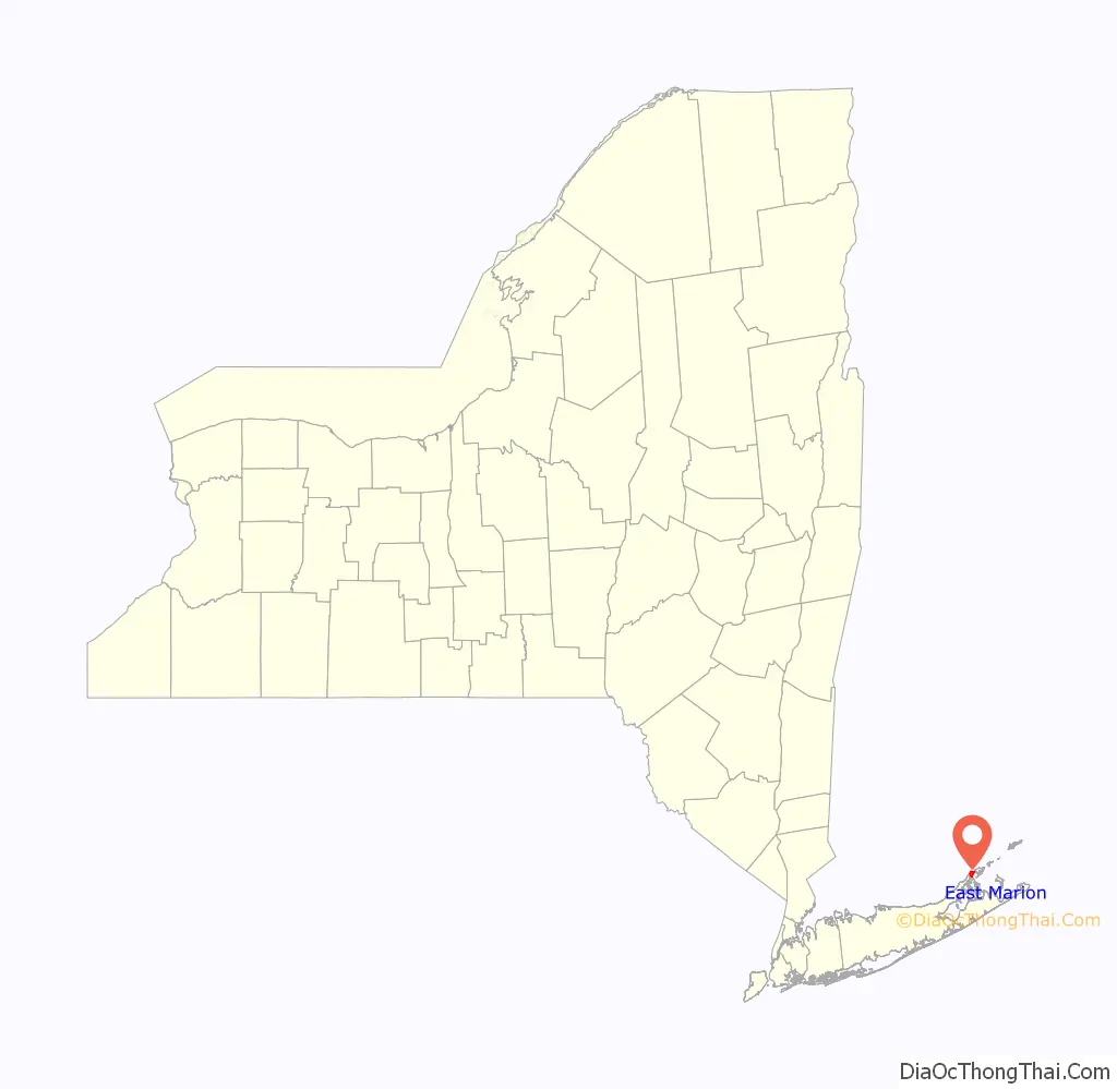
East Marion location map. Where is East Marion CDP?
History
Beginnings
The first inhabitants were the Orient Focus People, Native Americans who lived in the area about 1000 BC. They vanished long before the arrival in about 900 AD of the Corchaugs, who called the area Poquatuc. The Corchaugs were still present when six English families settled in 1661. The new residents called the area Oysterponds because of the abundant shellfish that they began to gather and sell to nearby communities. While farming remained the principal occupation, trading vessels began operating out of the sheltered harbor during the colonial period.
The Revolution
British troops landed in 1776 during the American Revolutionary War. Many families fled to Connecticut, and the Redcoats periodically plundered the farms they left behind. After Benedict Arnold switched sides, he organized raids on Connecticut from Oysterponds. The British returned during the War of 1812, setting up what turned out to be a porous blockade against American ships sailing to New York City. In 1814 Commodore Stephen Decatur anchored his American squadron off Trumans Beach but never engaged the British. After the war, renewed farming and fishing brought prosperity to Oysterponds. By 1840 more than 30 schooners were operating out of the harbor, carrying fish and produce.
Turning point
Orient and East Marion originally were called Oysterponds Lower Neck and Oysterponds Upper Neck, respectively. In 1836, the two communities went their separate ways with new names. Orient was chosen to reflect the area’s easternmost position on the North Fork of Long Island. East Marion was named for Gen. Francis Marion, the “Swamp Fox” of the Revolutionary War. “East” was tacked on because of an existing town of Marion upstate.
Brushes with fame
By 1870 the tip of the North Fork had become a resort. The Orient Point Inn, which opened in 1796, played host to President Grover Cleveland, poet Walt Whitman, orator Daniel Webster, actress Sarah Bernhardt and author James Fenimore Cooper, who wrote “Sea Lions”, set in Orient. (The inn closed in the 1960s and was demolished.) Meanwhile, members of one prominent Orient family did what they could to stave off public attention. They were the Tuthills, generally referred to in those less-sensitive days as the “Tuthill Dwarfs” or “Tiny Tuthills”. Three Tuthill sisters, Cynthia, Lucretia and Asenath, were midgets and accomplished seamstresses. In the mid-19th century, their brother Rufus built them a house with reduced dimensions; it still stands on Village Lane. Their diminutive and shy nephew, Addison, declined P. T. Barnum’s invitation to join his circus.
Claims to fame
Most people today know Orient for the ferries to New London and for Orient Beach State Park. Regularly scheduled ferry service to Connecticut began in the 1930s. The park was created when the community deeded the bulk of the 4-mile-long (6 km) beach peninsula to the state in 1929. East Marion is a sleepy country hamlet with myriad bays and inlets, wildlife preserves and miles of rolling farmlands. Currently the community contains a series of bed and breakfasts along NY 25 between Greenport and Orient Point.
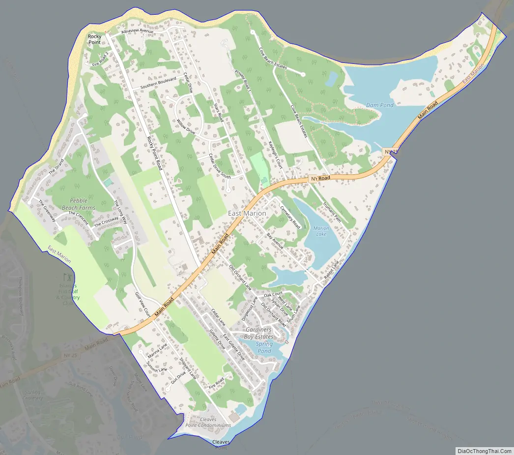
East Marion Road Map
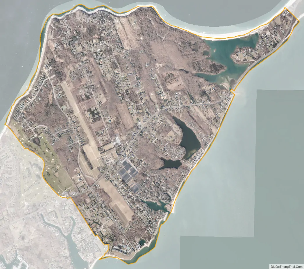
East Marion city Satellite Map
Geography
According to the United States Census Bureau, the CDP has a total area of 2.4 square miles (6.1 km), of which 2.2 square miles (5.8 km) is land and 0.12 square miles (0.3 km), or 5.42%, is water.
See also
Map of New York State and its subdivision:- Albany
- Allegany
- Bronx
- Broome
- Cattaraugus
- Cayuga
- Chautauqua
- Chemung
- Chenango
- Clinton
- Columbia
- Cortland
- Delaware
- Dutchess
- Erie
- Essex
- Franklin
- Fulton
- Genesee
- Greene
- Hamilton
- Herkimer
- Jefferson
- Kings
- Lake Ontario
- Lewis
- Livingston
- Madison
- Monroe
- Montgomery
- Nassau
- New York
- Niagara
- Oneida
- Onondaga
- Ontario
- Orange
- Orleans
- Oswego
- Otsego
- Putnam
- Queens
- Rensselaer
- Richmond
- Rockland
- Saint Lawrence
- Saratoga
- Schenectady
- Schoharie
- Schuyler
- Seneca
- Steuben
- Suffolk
- Sullivan
- Tioga
- Tompkins
- Ulster
- Warren
- Washington
- Wayne
- Westchester
- Wyoming
- Yates
- Alabama
- Alaska
- Arizona
- Arkansas
- California
- Colorado
- Connecticut
- Delaware
- District of Columbia
- Florida
- Georgia
- Hawaii
- Idaho
- Illinois
- Indiana
- Iowa
- Kansas
- Kentucky
- Louisiana
- Maine
- Maryland
- Massachusetts
- Michigan
- Minnesota
- Mississippi
- Missouri
- Montana
- Nebraska
- Nevada
- New Hampshire
- New Jersey
- New Mexico
- New York
- North Carolina
- North Dakota
- Ohio
- Oklahoma
- Oregon
- Pennsylvania
- Rhode Island
- South Carolina
- South Dakota
- Tennessee
- Texas
- Utah
- Vermont
- Virginia
- Washington
- West Virginia
- Wisconsin
- Wyoming


