East Rockaway is a village in Nassau County, on the South Shore of Long Island, in New York, United States. The population was 9,818 at the 2010 census.
The Incorporated Village of East Rockaway is at the edge of Rockaway Peninsula Proper in the town of Hempstead, adjacent to Hewlett Harbor, Hewlett, Rockville Centre, Lynbrook, and Oceanside. It is the final neighborhood before the beginning of Five Towns, although some have come to include wealthier sections of East Rockaway as a part of Five Towns. East Rockaway is an inner suburb, only 24 km (15 mi) from downtown Manhattan. The primary ethnicities are Italian and Irish. The Waverly Park neighborhood, near the Hewlett-East Rockaway Jewish Center [1] and along the border with Hewlett, has a sizable Jewish community.
| Name: | East Rockaway village |
|---|---|
| LSAD Code: | 47 |
| LSAD Description: | village (suffix) |
| State: | New York |
| County: | Nassau County |
| Incorporated: | 1900 |
| Elevation: | 10 ft (3 m) |
| Total Area: | 1.03 sq mi (2.67 km²) |
| Land Area: | 1.02 sq mi (2.64 km²) |
| Water Area: | 0.01 sq mi (0.03 km²) |
| Total Population: | 10,159 |
| Population Density: | 9,979.37/sq mi (3,852.97/km²) |
| ZIP code: | 11518 |
| Area code: | 516 |
| FIPS code: | 3622876 |
| GNISfeature ID: | 0949233 |
| Website: | www.villageofeastrockaway.org |
Online Interactive Map
Click on ![]() to view map in "full screen" mode.
to view map in "full screen" mode.
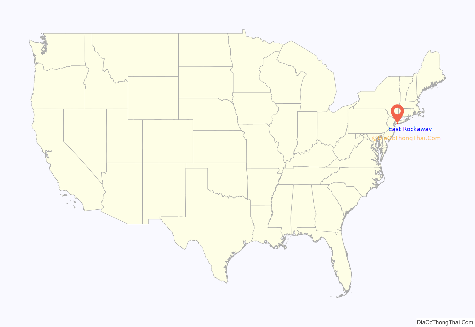
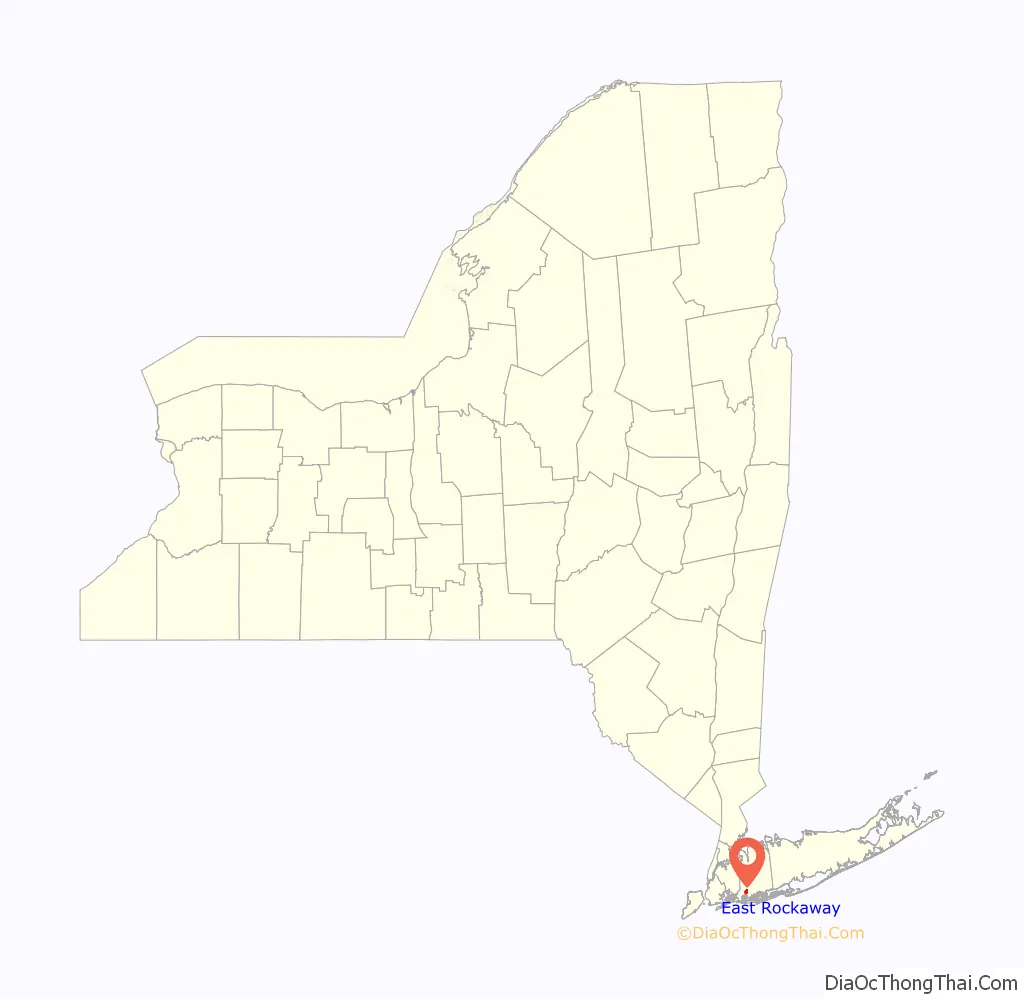
East Rockaway location map. Where is East Rockaway village?
History
Originally named Near Rockaway, the village began as a shipping and trading center for the South Shore of Long Island. The village’s location was desirable for ships because of its deep channels inland. Eventually a grist mill was built on the Mill River by Joseph Haviland through a land grant in 1688. The Haviland-Davison Grist Mill, located in Memorial Park, was listed on the National Register of Historic Places in 1998. Later, an oven was purchased to make bread for the surrounding population. The village prospered in shipping and milling over the years, even after several sales of the land.
The village’s name was changed in 1869 to East Rockaway.
The village was incorporated in 1900, and Floyd Johnson was president.
At the time of incorporation the village had a population of 969.
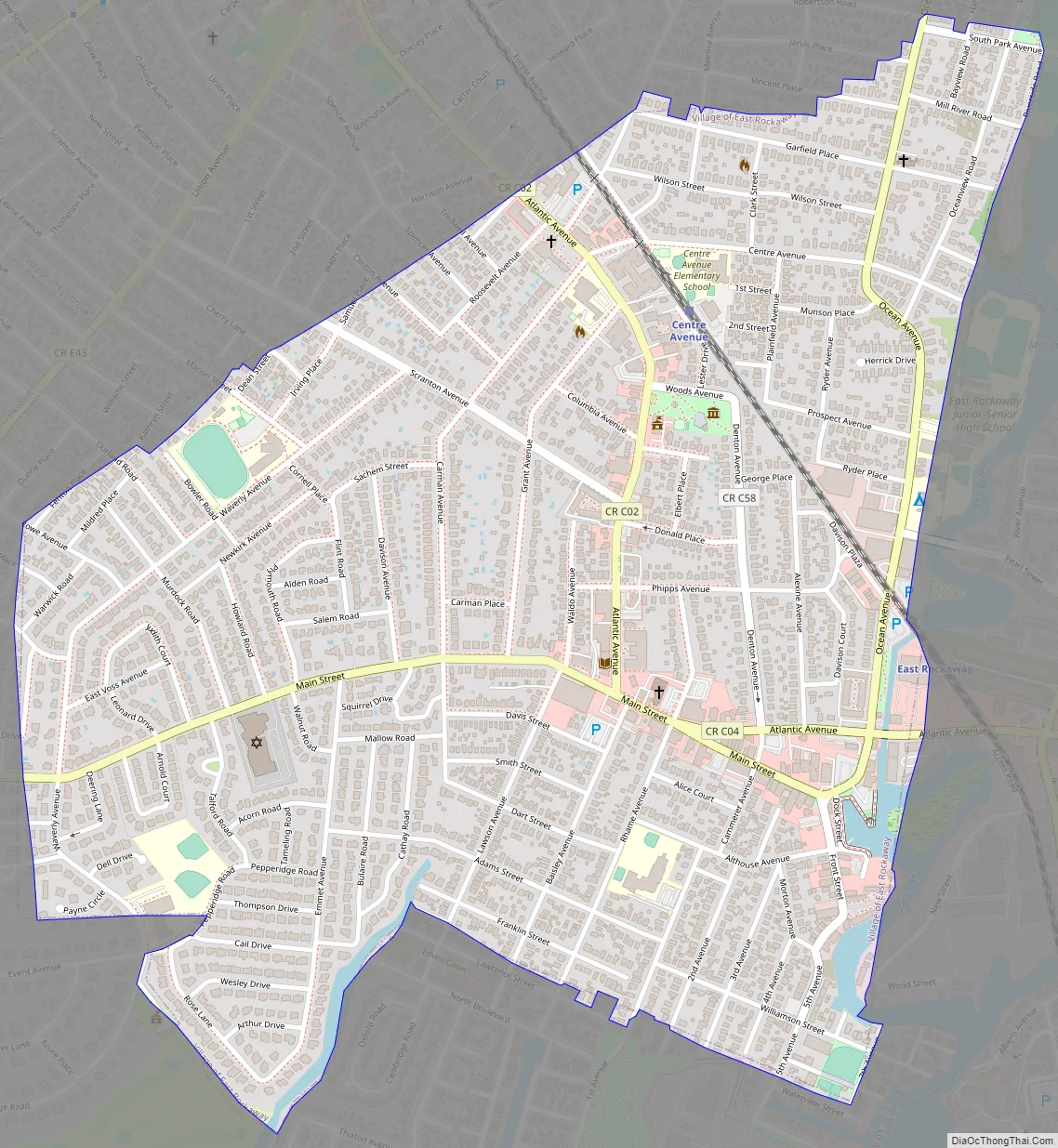
East Rockaway Road Map
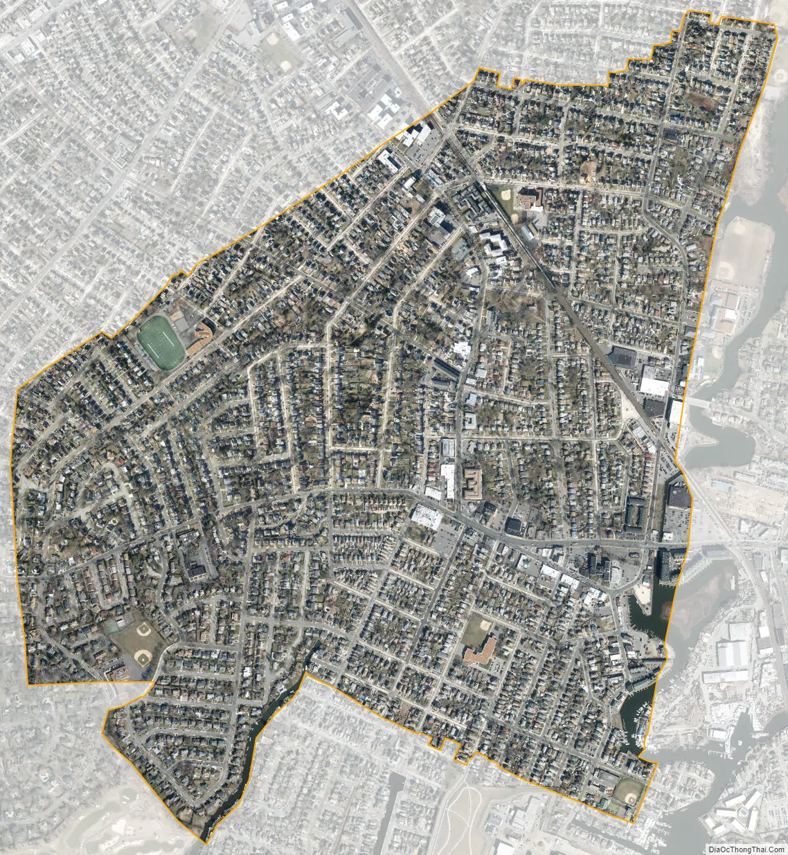
East Rockaway city Satellite Map
Geography
According to the United States Census Bureau, the village has a total area of 1.03 square miles (2.7 km), of which 1.02 square miles (2.6 km) is land and 0.01 square miles (0.026 km) is water.
See also
Map of New York State and its subdivision:- Albany
- Allegany
- Bronx
- Broome
- Cattaraugus
- Cayuga
- Chautauqua
- Chemung
- Chenango
- Clinton
- Columbia
- Cortland
- Delaware
- Dutchess
- Erie
- Essex
- Franklin
- Fulton
- Genesee
- Greene
- Hamilton
- Herkimer
- Jefferson
- Kings
- Lake Ontario
- Lewis
- Livingston
- Madison
- Monroe
- Montgomery
- Nassau
- New York
- Niagara
- Oneida
- Onondaga
- Ontario
- Orange
- Orleans
- Oswego
- Otsego
- Putnam
- Queens
- Rensselaer
- Richmond
- Rockland
- Saint Lawrence
- Saratoga
- Schenectady
- Schoharie
- Schuyler
- Seneca
- Steuben
- Suffolk
- Sullivan
- Tioga
- Tompkins
- Ulster
- Warren
- Washington
- Wayne
- Westchester
- Wyoming
- Yates
- Alabama
- Alaska
- Arizona
- Arkansas
- California
- Colorado
- Connecticut
- Delaware
- District of Columbia
- Florida
- Georgia
- Hawaii
- Idaho
- Illinois
- Indiana
- Iowa
- Kansas
- Kentucky
- Louisiana
- Maine
- Maryland
- Massachusetts
- Michigan
- Minnesota
- Mississippi
- Missouri
- Montana
- Nebraska
- Nevada
- New Hampshire
- New Jersey
- New Mexico
- New York
- North Carolina
- North Dakota
- Ohio
- Oklahoma
- Oregon
- Pennsylvania
- Rhode Island
- South Carolina
- South Dakota
- Tennessee
- Texas
- Utah
- Vermont
- Virginia
- Washington
- West Virginia
- Wisconsin
- Wyoming


