Elba is a village in Genesee County, New York, United States. The population was 676 at the 2010 census. The village is named after the island of Elba.
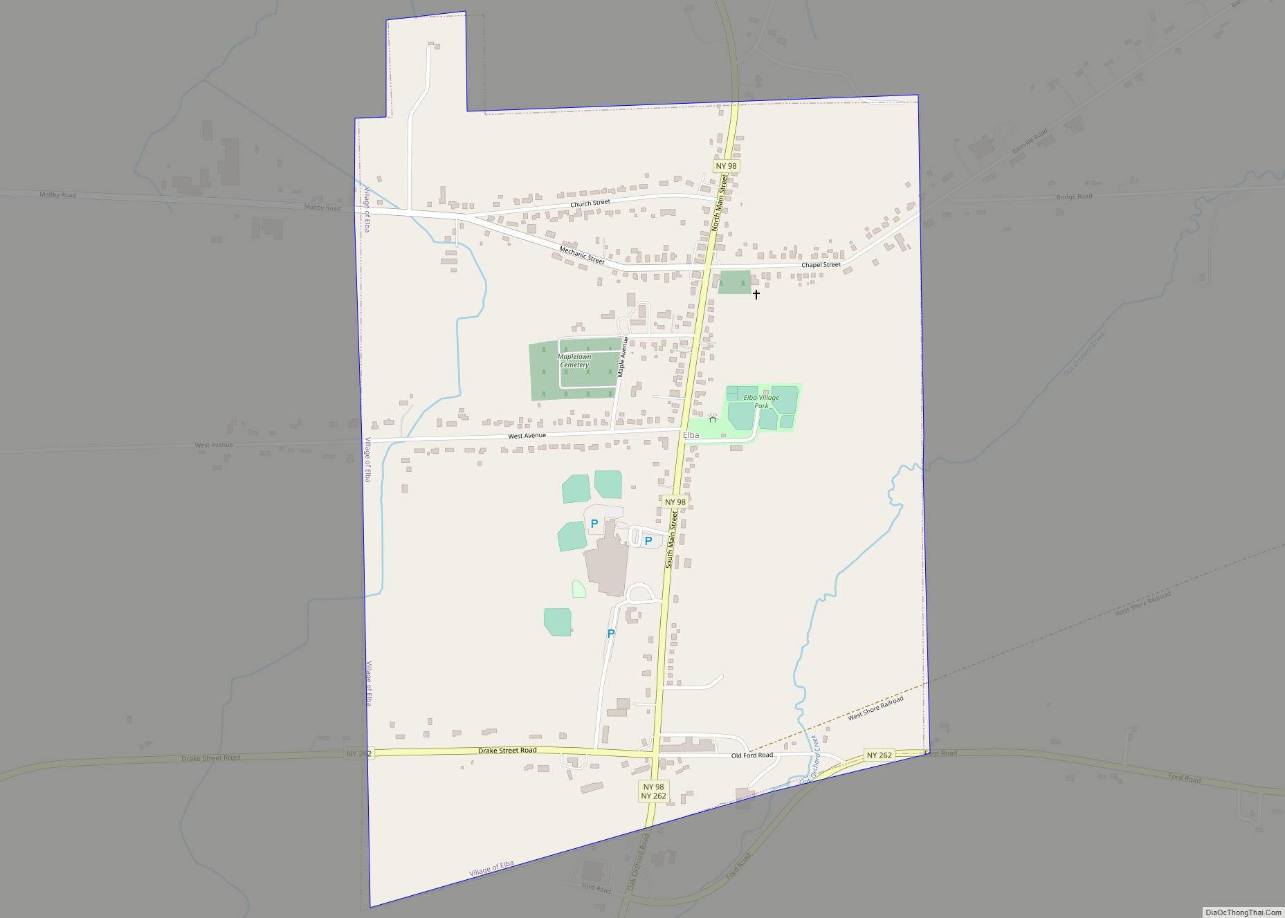
The village of Elba is in the town of Elba. The village is north of Batavia at the intersection of NYS Route 98 and NYS Route 262.
Elba claims to be the “Onion Capital of the World.” Torrey Farms, one of the largest farms in New York, is located in Elba with about 8,000 acres (32 km). They also own about 2,000 acres (8.1 km) of muckland in Potter, New York, where they grow a large number of onions.
Elba hosts its annual “Onion Festival” on the first weekend of August. The festival draws the vast majority of Elba residents as well as people from neighboring towns in Genesee County, and some from all over New York. Among the events are the Fireman’s Parade, Kiddie Parade, raffling of a car (usually a new Mustang GT), and the crowning of an “Onion Queen”. All profits from the festival go towards the funding of the Elba Fire Department. Although in 2016 the Onion Festival was not held, an Onion Queen was announced at a replacement town event in July.
| Name: | Elba village |
|---|---|
| LSAD Code: | 47 |
| LSAD Description: | village (suffix) |
| State: | New York |
| County: | Genesee County |
| Elevation: | 761 ft (232 m) |
| Total Area: | 1.02 sq mi (2.63 km²) |
| Land Area: | 1.02 sq mi (2.63 km²) |
| Water Area: | 0.00 sq mi (0.00 km²) |
| Total Population: | 558 |
| Population Density: | 548.67/sq mi (211.90/km²) |
| ZIP code: | 14058 |
| Area code: | 585 |
| FIPS code: | 3623745 |
| GNISfeature ID: | 0949446 |
| Website: | elbanewyork.com |
Online Interactive Map
Click on ![]() to view map in "full screen" mode.
to view map in "full screen" mode.
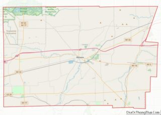
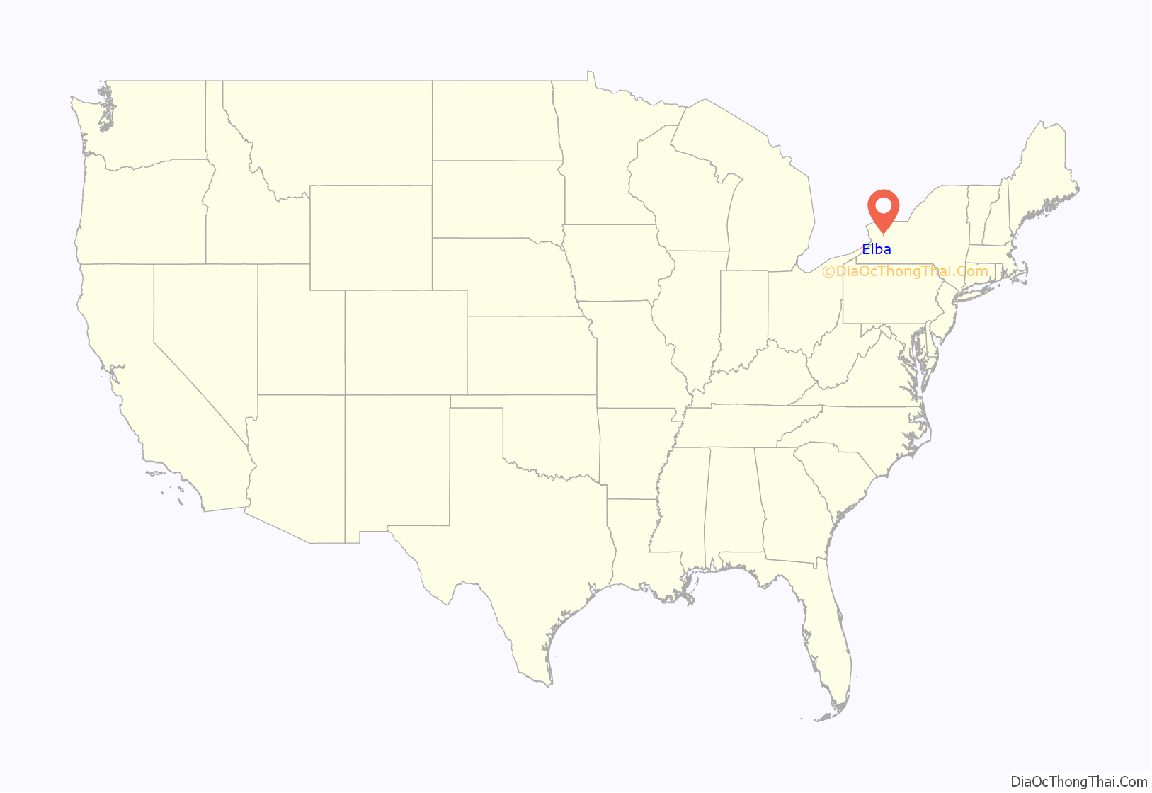
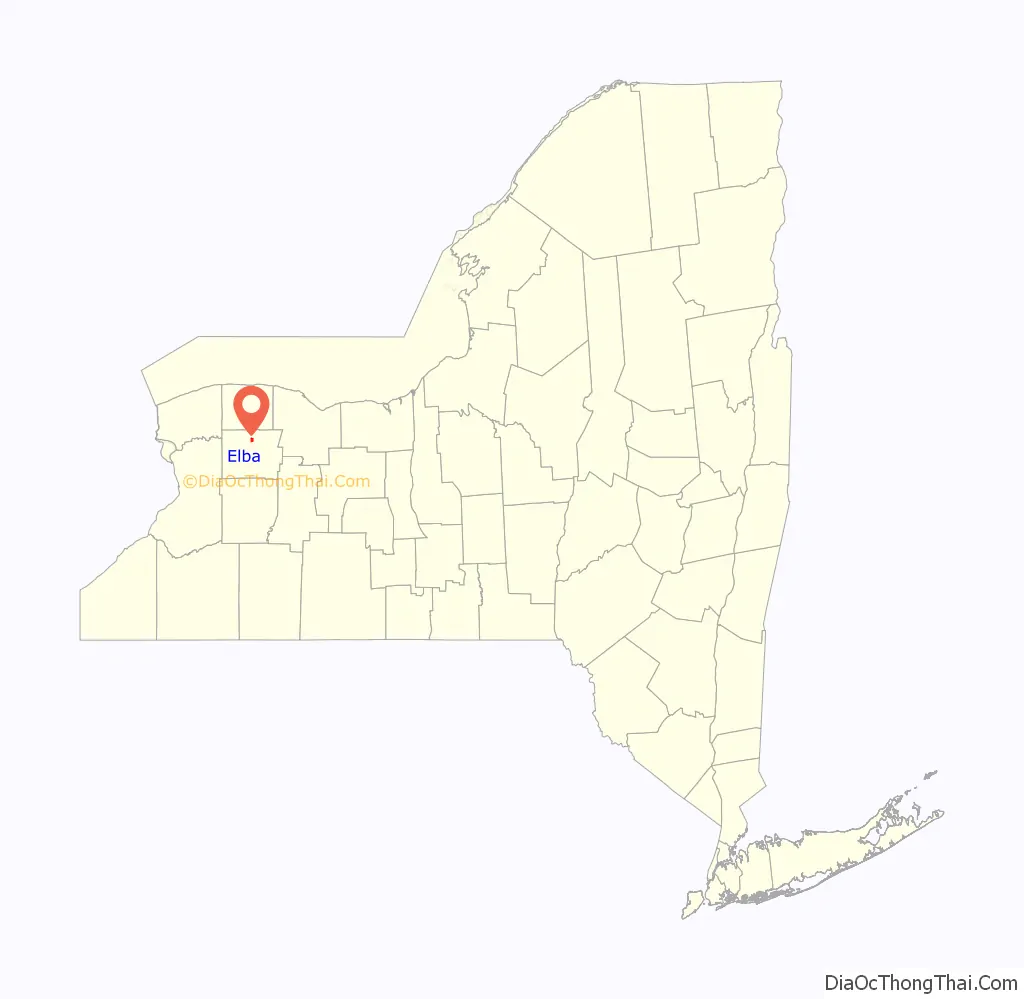
Elba location map. Where is Elba village?
History
The site of the village was first settled in 1804, by John Roraback, a weaver. The village of Elba was incorporated in 1884. Previously, in 1882, an attempt to incorporate “Pine Hill” as the town’s name led to dissension and a lawsuit. The name “Pine Hill” was derived from a Native American name for the area.
Elba was a stop on the Underground Railroad. There literally was an underground section, as there was a tunnel underneath Main Street between the inn and the home of its owner, Elias Pettibone, which is now collapsed.
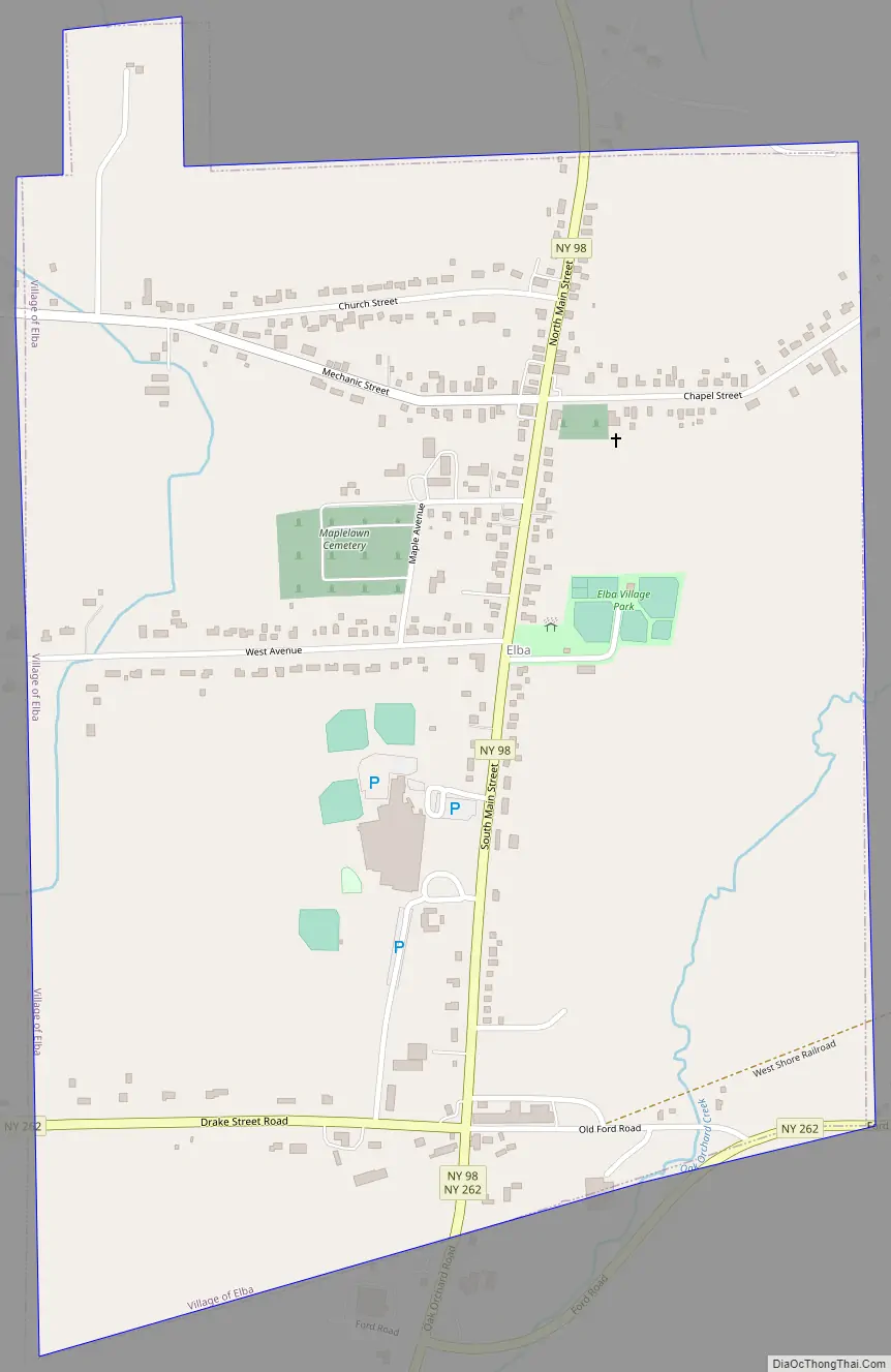
Elba Road Map
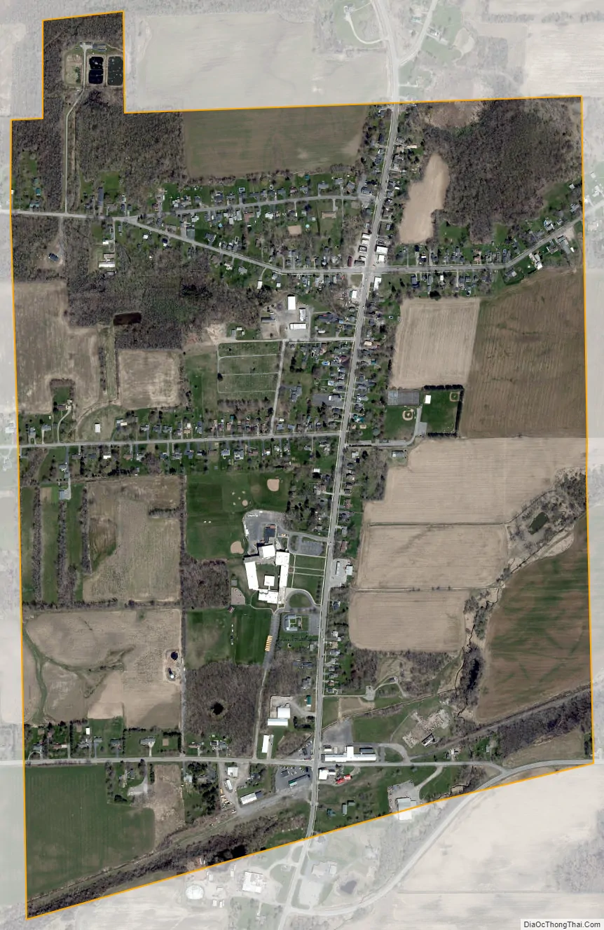
Elba city Satellite Map
Geography
The village is located in northern Genesee County near the center of the town of Elba. New York State Route 98 runs through the village as Main Street, leading north 11 miles (18 km) to Albion and south 5 miles (8 km) to Batavia, the Genesee County seat. New York State Route 262 passes through the southern part of the village, leading east 6 miles (10 km) to Byron and west 4 miles (6 km) to Oakfield.
According to the United States Census Bureau, the village has a total area of 1.0 square mile (2.6 km), all land.
See also
Map of New York State and its subdivision:- Albany
- Allegany
- Bronx
- Broome
- Cattaraugus
- Cayuga
- Chautauqua
- Chemung
- Chenango
- Clinton
- Columbia
- Cortland
- Delaware
- Dutchess
- Erie
- Essex
- Franklin
- Fulton
- Genesee
- Greene
- Hamilton
- Herkimer
- Jefferson
- Kings
- Lake Ontario
- Lewis
- Livingston
- Madison
- Monroe
- Montgomery
- Nassau
- New York
- Niagara
- Oneida
- Onondaga
- Ontario
- Orange
- Orleans
- Oswego
- Otsego
- Putnam
- Queens
- Rensselaer
- Richmond
- Rockland
- Saint Lawrence
- Saratoga
- Schenectady
- Schoharie
- Schuyler
- Seneca
- Steuben
- Suffolk
- Sullivan
- Tioga
- Tompkins
- Ulster
- Warren
- Washington
- Wayne
- Westchester
- Wyoming
- Yates
- Alabama
- Alaska
- Arizona
- Arkansas
- California
- Colorado
- Connecticut
- Delaware
- District of Columbia
- Florida
- Georgia
- Hawaii
- Idaho
- Illinois
- Indiana
- Iowa
- Kansas
- Kentucky
- Louisiana
- Maine
- Maryland
- Massachusetts
- Michigan
- Minnesota
- Mississippi
- Missouri
- Montana
- Nebraska
- Nevada
- New Hampshire
- New Jersey
- New Mexico
- New York
- North Carolina
- North Dakota
- Ohio
- Oklahoma
- Oregon
- Pennsylvania
- Rhode Island
- South Carolina
- South Dakota
- Tennessee
- Texas
- Utah
- Vermont
- Virginia
- Washington
- West Virginia
- Wisconsin
- Wyoming