Elizabethtown is a hamlet and census-designated place (CDP) in the town of Elizabethtown in Essex County, New York, United States. The population of the CDP was 754 at the 2010 census, out of a total town population of 1,163.
Elizabethtown is the county seat of Essex County and the location of the town government. The name is taken from that of Elizabeth Gilliland, the wife of an early settler and investor, William Gilliland.
| Name: | Elizabethtown CDP |
|---|---|
| LSAD Code: | 57 |
| LSAD Description: | CDP (suffix) |
| State: | New York |
| County: | Essex County |
| Elevation: | 560 ft (170 m) |
| Total Area: | 3.31 sq mi (8.57 km²) |
| Land Area: | 3.31 sq mi (8.56 km²) |
| Water Area: | 0.00 sq mi (0.01 km²) |
| Total Population: | 746 |
| Population Density: | 225.72/sq mi (87.14/km²) |
| ZIP code: | 12932 |
| Area code: | 518 |
| FIPS code: | 3623822 |
Online Interactive Map
Click on ![]() to view map in "full screen" mode.
to view map in "full screen" mode.
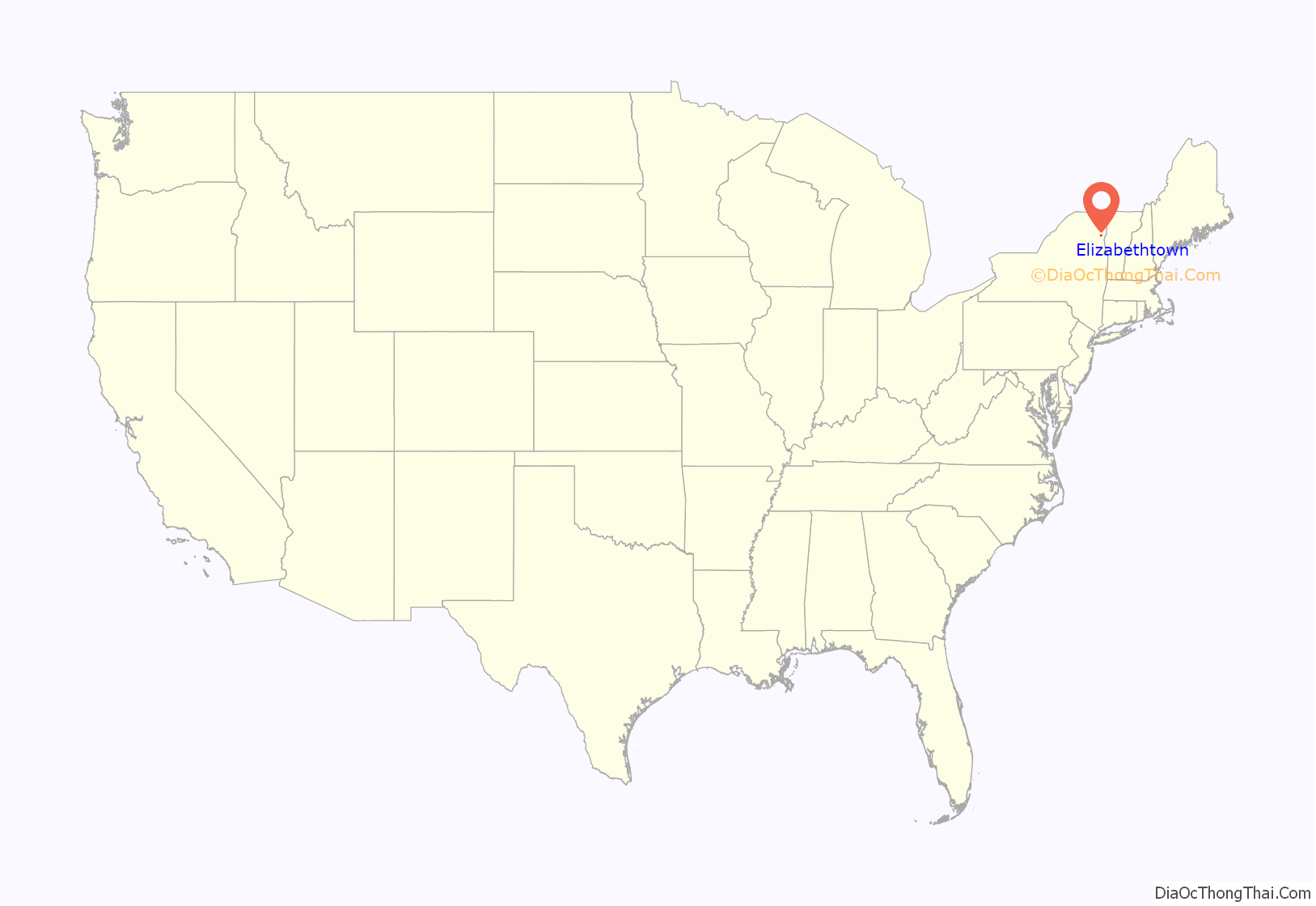
Elizabethtown location map. Where is Elizabethtown CDP?
History
The community was developed by settlers moving deeper into the town from the first settlement in New Russia. Elizabethtown became the county seat in 1807. Due to the focus on government, the law profession was a prominent occupation after the middle of the 19th century. Elizabethtown incorporated as a village in 1876, but the village government dissolved itself in 1981.
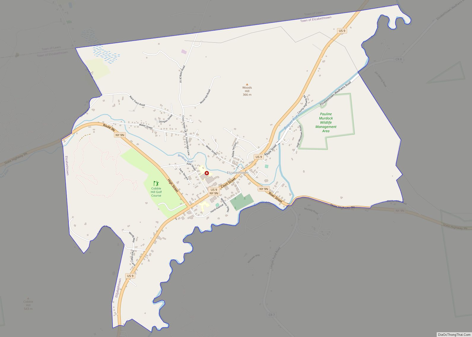
Elizabethtown Road Map
Elizabethtown city Satellite Map
Geography
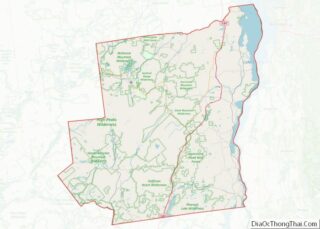
Elizabethtown is in the northern part of the town, located at the junction of US Route 9 and NY 9N. The Boquet River (pronounced BO-kwet) flows past the east side of the hamlet.
See also
Map of New York State and its subdivision:- Albany
- Allegany
- Bronx
- Broome
- Cattaraugus
- Cayuga
- Chautauqua
- Chemung
- Chenango
- Clinton
- Columbia
- Cortland
- Delaware
- Dutchess
- Erie
- Essex
- Franklin
- Fulton
- Genesee
- Greene
- Hamilton
- Herkimer
- Jefferson
- Kings
- Lake Ontario
- Lewis
- Livingston
- Madison
- Monroe
- Montgomery
- Nassau
- New York
- Niagara
- Oneida
- Onondaga
- Ontario
- Orange
- Orleans
- Oswego
- Otsego
- Putnam
- Queens
- Rensselaer
- Richmond
- Rockland
- Saint Lawrence
- Saratoga
- Schenectady
- Schoharie
- Schuyler
- Seneca
- Steuben
- Suffolk
- Sullivan
- Tioga
- Tompkins
- Ulster
- Warren
- Washington
- Wayne
- Westchester
- Wyoming
- Yates
- Alabama
- Alaska
- Arizona
- Arkansas
- California
- Colorado
- Connecticut
- Delaware
- District of Columbia
- Florida
- Georgia
- Hawaii
- Idaho
- Illinois
- Indiana
- Iowa
- Kansas
- Kentucky
- Louisiana
- Maine
- Maryland
- Massachusetts
- Michigan
- Minnesota
- Mississippi
- Missouri
- Montana
- Nebraska
- Nevada
- New Hampshire
- New Jersey
- New Mexico
- New York
- North Carolina
- North Dakota
- Ohio
- Oklahoma
- Oregon
- Pennsylvania
- Rhode Island
- South Carolina
- South Dakota
- Tennessee
- Texas
- Utah
- Vermont
- Virginia
- Washington
- West Virginia
- Wisconsin
- Wyoming
