Ellisburg is a village in Jefferson County, New York, United States. The population was 244 at the 2010 census. The village is named after two brothers who were the original landowners. It is located near the middle of the town of Ellisburg and is southwest of Watertown.
| Name: | Ellisburg village |
|---|---|
| LSAD Code: | 47 |
| LSAD Description: | village (suffix) |
| State: | New York |
| County: | Jefferson County |
| Elevation: | 328 ft (100 m) |
| Total Area: | 1.00 sq mi (2.59 km²) |
| Land Area: | 1.00 sq mi (2.59 km²) |
| Water Area: | 0.00 sq mi (0.00 km²) |
| Total Population: | 186 |
| Population Density: | 185.81/sq mi (71.72/km²) |
| ZIP code: | 13636 |
| Area code: | 315 |
| FIPS code: | 3624075 |
| GNISfeature ID: | 0975770 |
Online Interactive Map
Click on ![]() to view map in "full screen" mode.
to view map in "full screen" mode.
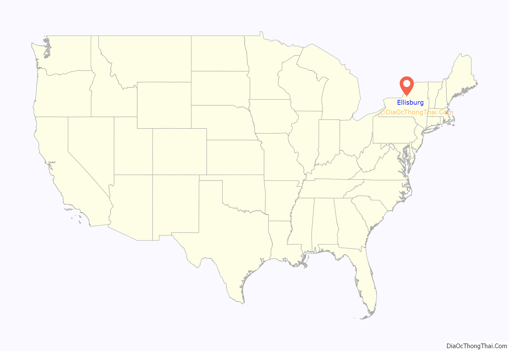
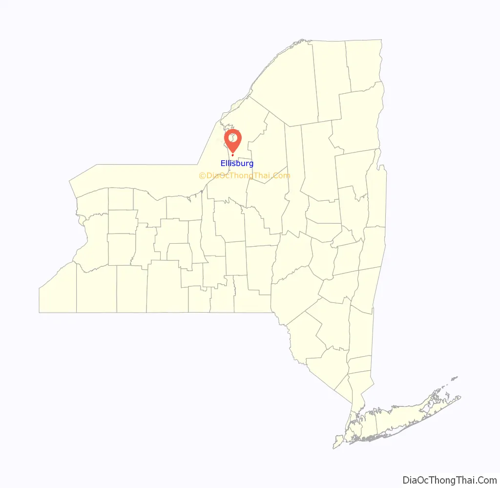
Ellisburg location map. Where is Ellisburg village?
History
The village was first settled circa 1797 by Lyman Ellis and was also called “Ellisburgh”. The village set itself off from the town by incorporation in 1895.
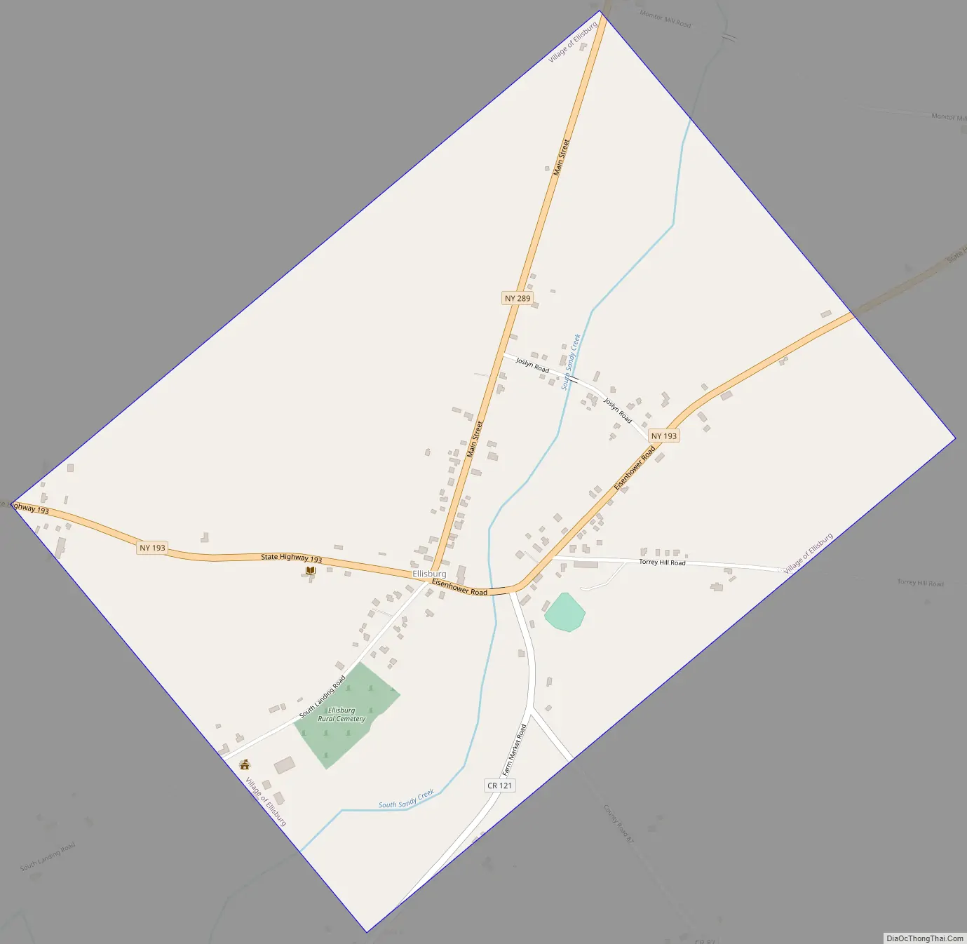
Ellisburg Road Map
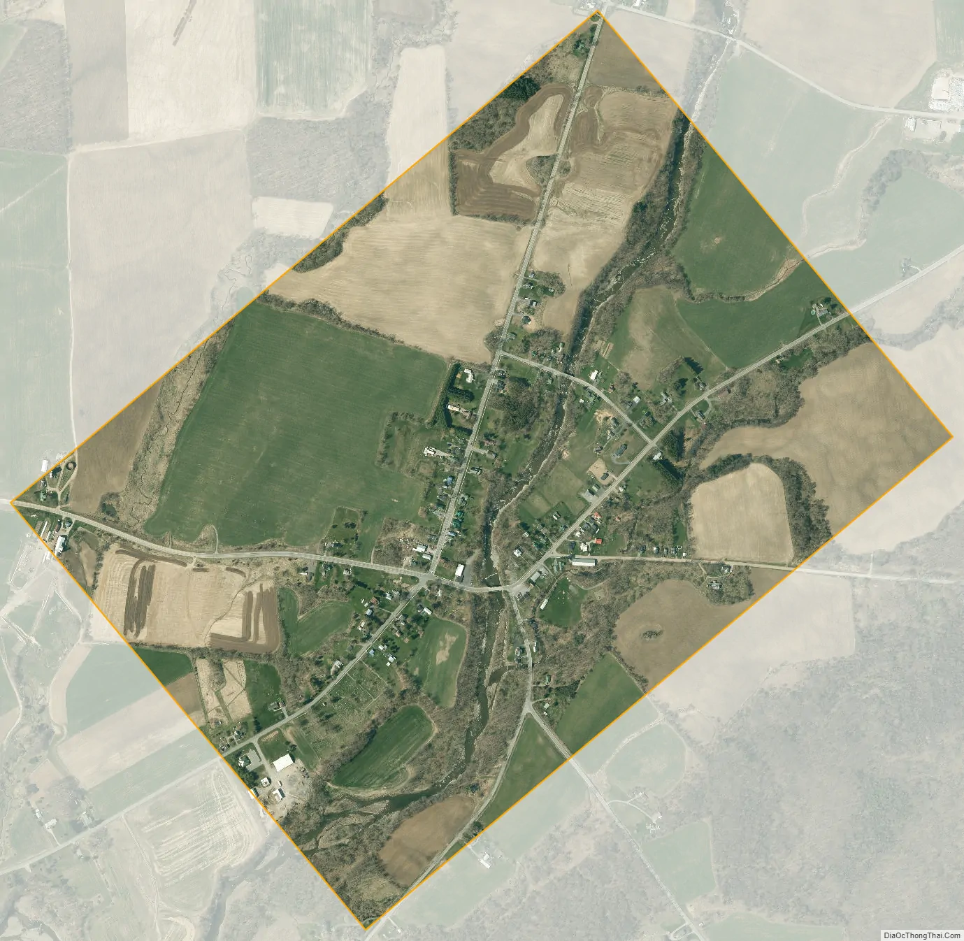
Ellisburg city Satellite Map
Geography
Ellisburg is located in southern Jefferson County at 43°43′54″N 76°8′1″W / 43.73167°N 76.13361°W / 43.73167; -76.13361 (43.731775, -76.133695). According to the United States Census Bureau, it has a total area of 1.0 square mile (2.6 km), all land.
South Sandy Creek flows through the center of the village, leading southwestward to Lake Ontario.
Ellisburg is at the junction of New York State Route 193, New York State Route 289, and County Road 87. NY-193 leads 4 miles (6 km) east to Pierrepont Manor and northwest the same distance to NY-3 at Southwick Beach State Park near Lake Ontario. NY-289 leads north 3.5 miles (5.6 km) to Belleville. Interstate 81 is 3.5 miles (5.6 km) east of Ellisburg via NY-193 and leads an additional 20 miles (32 km) north to Watertown, the county seat.
See also
Map of New York State and its subdivision:- Albany
- Allegany
- Bronx
- Broome
- Cattaraugus
- Cayuga
- Chautauqua
- Chemung
- Chenango
- Clinton
- Columbia
- Cortland
- Delaware
- Dutchess
- Erie
- Essex
- Franklin
- Fulton
- Genesee
- Greene
- Hamilton
- Herkimer
- Jefferson
- Kings
- Lake Ontario
- Lewis
- Livingston
- Madison
- Monroe
- Montgomery
- Nassau
- New York
- Niagara
- Oneida
- Onondaga
- Ontario
- Orange
- Orleans
- Oswego
- Otsego
- Putnam
- Queens
- Rensselaer
- Richmond
- Rockland
- Saint Lawrence
- Saratoga
- Schenectady
- Schoharie
- Schuyler
- Seneca
- Steuben
- Suffolk
- Sullivan
- Tioga
- Tompkins
- Ulster
- Warren
- Washington
- Wayne
- Westchester
- Wyoming
- Yates
- Alabama
- Alaska
- Arizona
- Arkansas
- California
- Colorado
- Connecticut
- Delaware
- District of Columbia
- Florida
- Georgia
- Hawaii
- Idaho
- Illinois
- Indiana
- Iowa
- Kansas
- Kentucky
- Louisiana
- Maine
- Maryland
- Massachusetts
- Michigan
- Minnesota
- Mississippi
- Missouri
- Montana
- Nebraska
- Nevada
- New Hampshire
- New Jersey
- New Mexico
- New York
- North Carolina
- North Dakota
- Ohio
- Oklahoma
- Oregon
- Pennsylvania
- Rhode Island
- South Carolina
- South Dakota
- Tennessee
- Texas
- Utah
- Vermont
- Virginia
- Washington
- West Virginia
- Wisconsin
- Wyoming


