Esperance is a village in Schoharie County, New York, United States. The population was 345 at the 2010 census. The village was given the French name for “hope.”
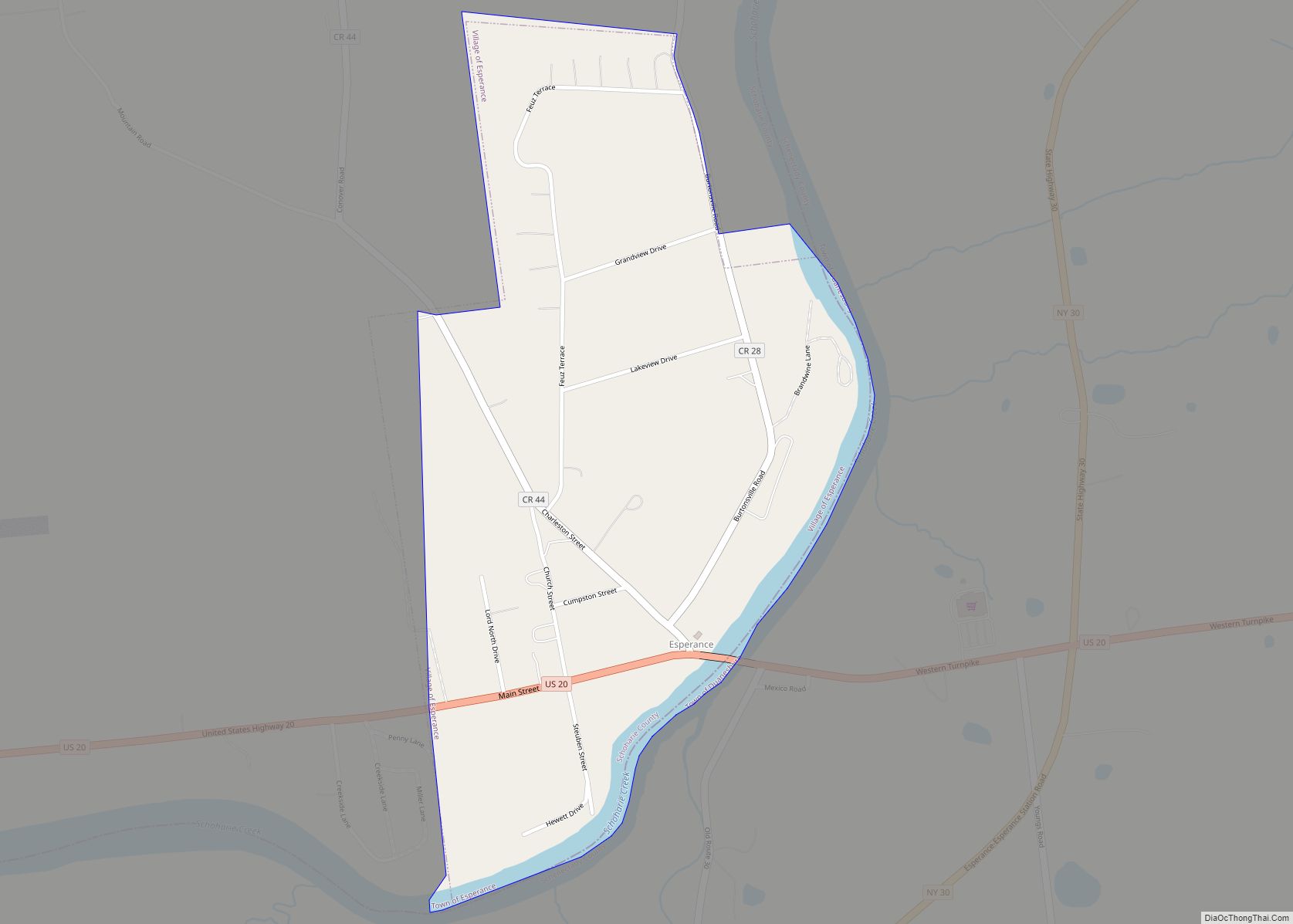
The Village of Esperance is in eastern part of the Town of Esperance. The village is west of Schenectady.
| Name: | Esperance village |
|---|---|
| LSAD Code: | 47 |
| LSAD Description: | village (suffix) |
| State: | New York |
| County: | Schoharie County |
| Elevation: | 581 ft (177 m) |
| Total Area: | 0.52 sq mi (1.35 km²) |
| Land Area: | 0.49 sq mi (1.27 km²) |
| Water Area: | 0.03 sq mi (0.08 km²) |
| Total Population: | 346 |
| Population Density: | 707.57/sq mi (273.00/km²) |
| FIPS code: | 3624713 |
| GNISfeature ID: | 0949711 |
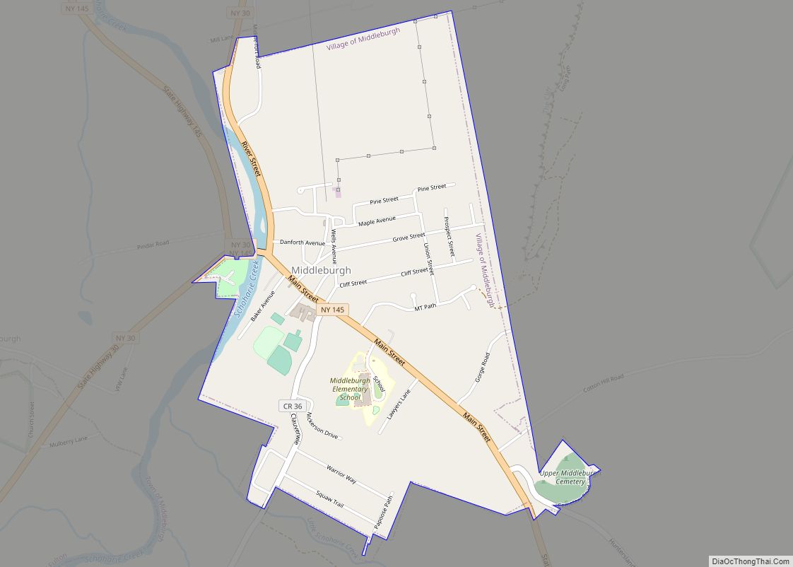
Online Interactive Map
Click on ![]() to view map in "full screen" mode.
to view map in "full screen" mode.
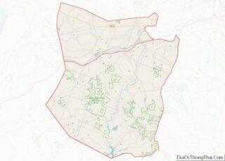
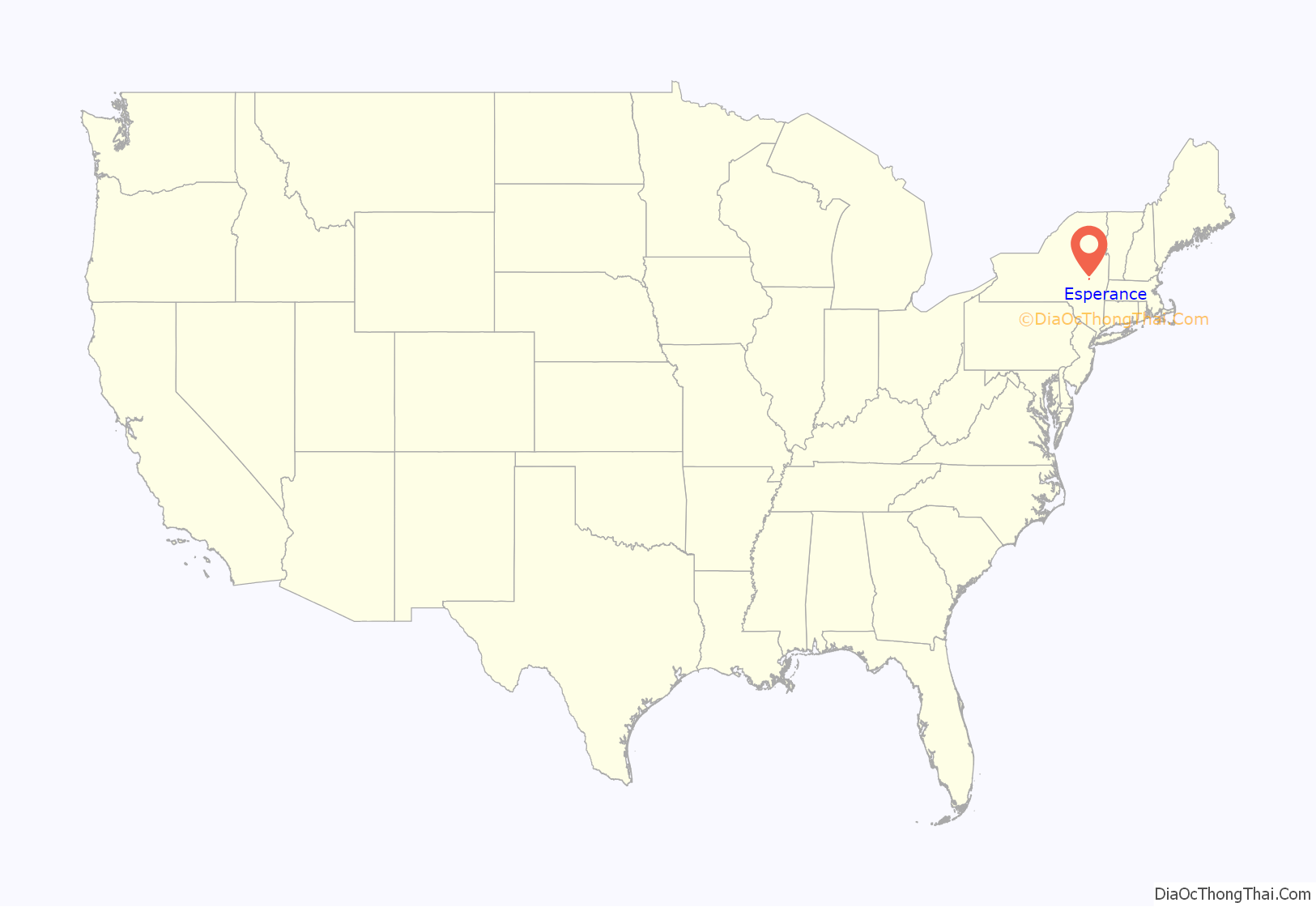
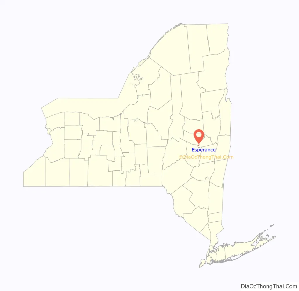
Esperance location map. Where is Esperance village?
History
The village was settled circa 1793, based on an original land grant, the Ten Eyck Patent of 1769.
The village was incorporated in 1818 and a fire department was authorized to be formed. The village is the oldest incorporated village in the County. When the town of Esperance was formed in 1846, it thereupon took the name of the village.
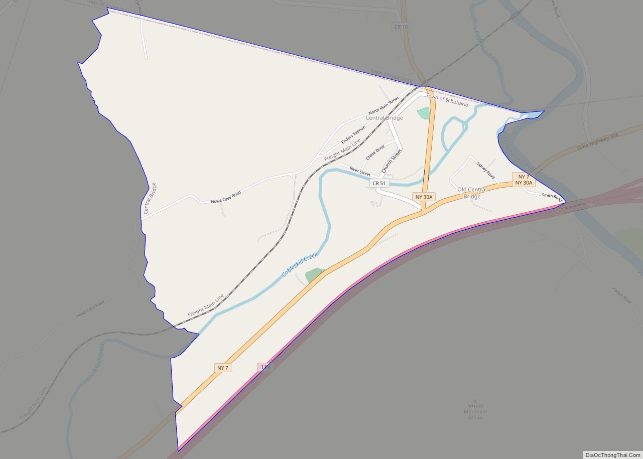
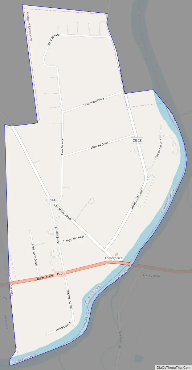
Esperance Road Map
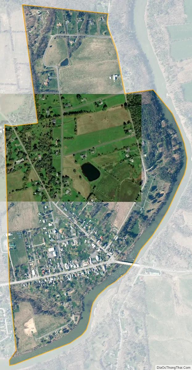
Esperance city Satellite Map
Geography
Esperance is located at 42°45′44″N 74°15′33″W / 42.76222°N 74.25917°W / 42.76222; -74.25917 (42.762271, -74.259361).
According to the United States Census Bureau, the village has a total area of 0.5 square mile (1.4 km), of which 0.5 square mile (1.3 km) is land and 0.04 square mile (0.1 km) (5.66%) is water.
The village is adjacent to the Schoharie Creek and is located on U.S. Route 20 at the junction of County Roads 28 and 44.
See also
Map of New York State and its subdivision:- Albany
- Allegany
- Bronx
- Broome
- Cattaraugus
- Cayuga
- Chautauqua
- Chemung
- Chenango
- Clinton
- Columbia
- Cortland
- Delaware
- Dutchess
- Erie
- Essex
- Franklin
- Fulton
- Genesee
- Greene
- Hamilton
- Herkimer
- Jefferson
- Kings
- Lake Ontario
- Lewis
- Livingston
- Madison
- Monroe
- Montgomery
- Nassau
- New York
- Niagara
- Oneida
- Onondaga
- Ontario
- Orange
- Orleans
- Oswego
- Otsego
- Putnam
- Queens
- Rensselaer
- Richmond
- Rockland
- Saint Lawrence
- Saratoga
- Schenectady
- Schoharie
- Schuyler
- Seneca
- Steuben
- Suffolk
- Sullivan
- Tioga
- Tompkins
- Ulster
- Warren
- Washington
- Wayne
- Westchester
- Wyoming
- Yates
- Alabama
- Alaska
- Arizona
- Arkansas
- California
- Colorado
- Connecticut
- Delaware
- District of Columbia
- Florida
- Georgia
- Hawaii
- Idaho
- Illinois
- Indiana
- Iowa
- Kansas
- Kentucky
- Louisiana
- Maine
- Maryland
- Massachusetts
- Michigan
- Minnesota
- Mississippi
- Missouri
- Montana
- Nebraska
- Nevada
- New Hampshire
- New Jersey
- New Mexico
- New York
- North Carolina
- North Dakota
- Ohio
- Oklahoma
- Oregon
- Pennsylvania
- Rhode Island
- South Carolina
- South Dakota
- Tennessee
- Texas
- Utah
- Vermont
- Virginia
- Washington
- West Virginia
- Wisconsin
- Wyoming