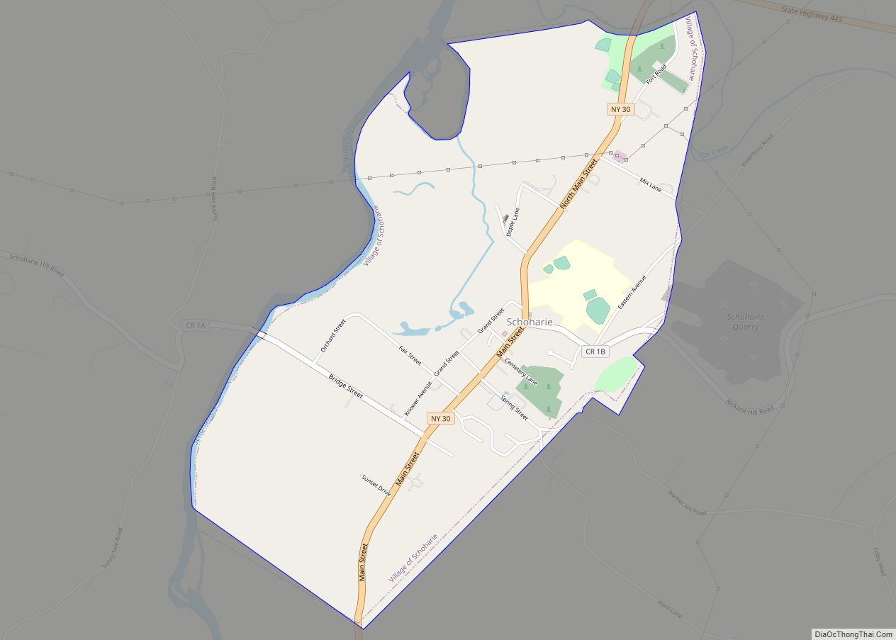
Schoharie (/skoʊˈhɛəriː/ skoh-HAIR-ee) is a village in Schoharie County, New York, United States. The population was 922 at the 2010 census. It is the county seat of Schoharie County. The name is a native word for driftwood.
The Village of Schoharie is in the southeast part of the Town of Schoharie and is west of Albany.
| Name: | Schoharie village |
|---|---|
| LSAD Code: | 47 |
| LSAD Description: | village (suffix) |
| State: | New York |
| County: | Schoharie County |
| Elevation: | 600 ft (183 m) |
| Total Area: | 1.66 sq mi (4.30 km²) |
| Land Area: | 1.66 sq mi (4.30 km²) |
| Water Area: | 0.00 sq mi (0.00 km²) |
| Total Population: | 916 |
| Population Density: | 552.47/sq mi (213.26/km²) |
| ZIP code: | 12157 |
| Area code: | 518 |
| FIPS code: | 3665585 |
| GNISfeature ID: | 0964598 |
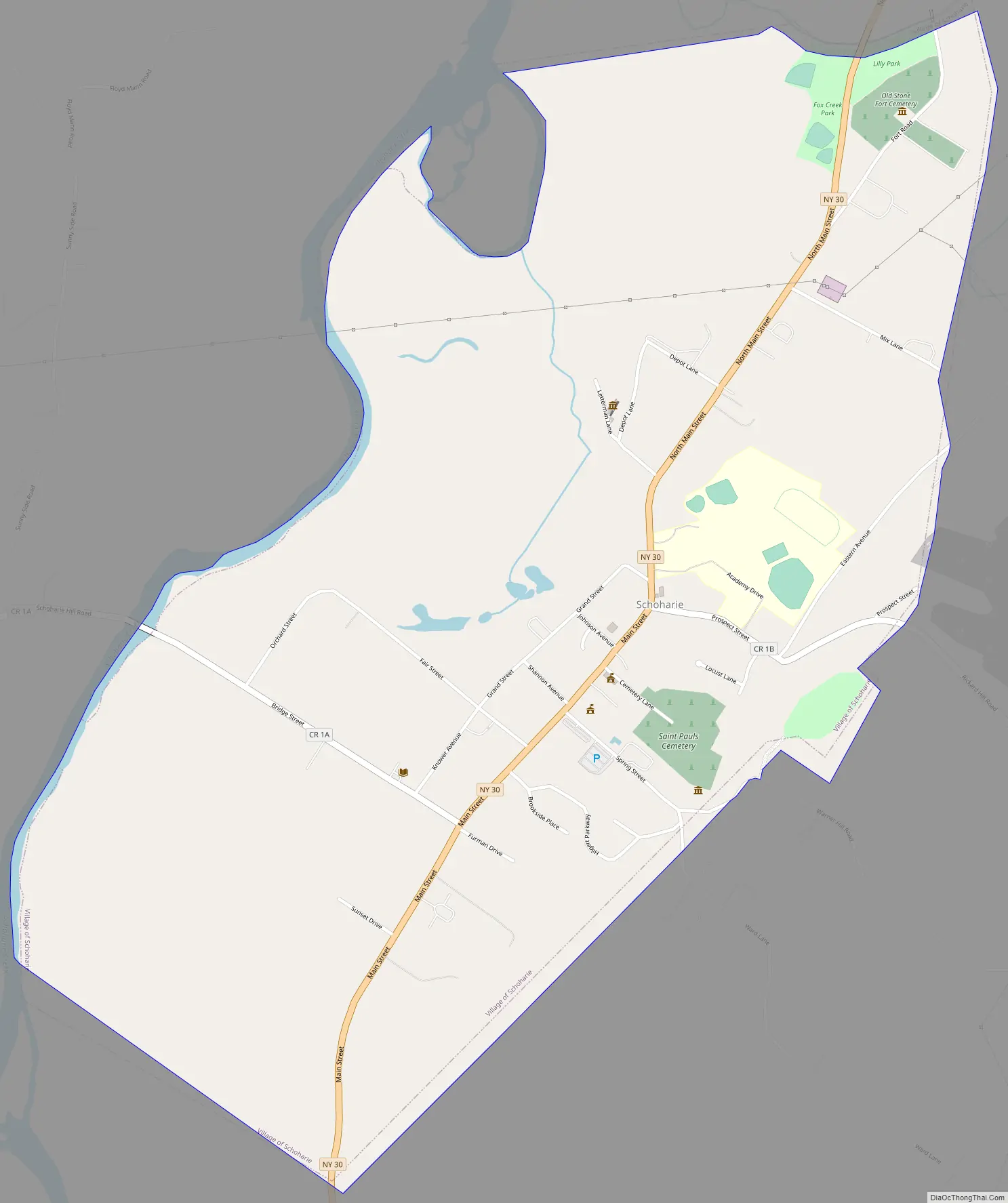
Online Interactive Map
Click on ![]() to view map in "full screen" mode.
to view map in "full screen" mode.
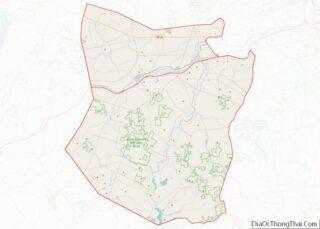
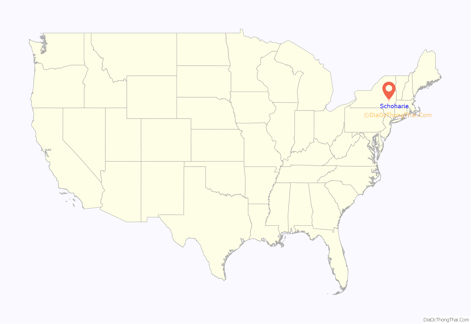
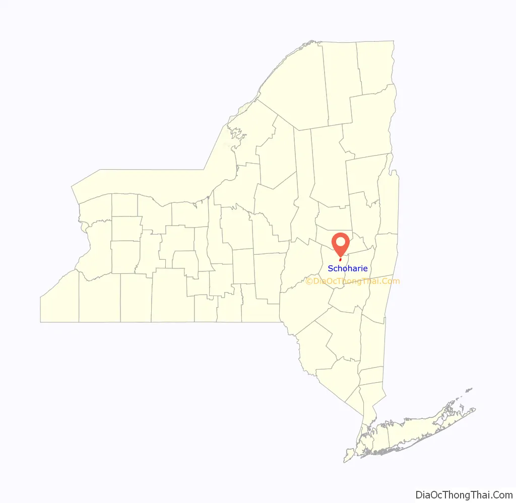
Schoharie location map. Where is Schoharie village?
History
The village was first settled around 1718 by Palatine Germans.
The village was originally called “Brunnendorf,” “Fountain Village,” and “Sommersville.” The first two names stem from a spring at the site of the early community.
The historic Middleburgh-Schoharie Railroad was half-based in the village.
Due to Hurricane Irene in August 2011 the Village experienced a flood which inundated large portions of the Village with up to 7 feet of water.
The Lasell Hall, Old Lutheran Parsonage, Old Stone Fort, St. Paul’s Lutheran Church Historic District, Schoharie County Courthouse Complex, and Schoharie Valley Railroad Complex are listed on the National Register of Historic Places.
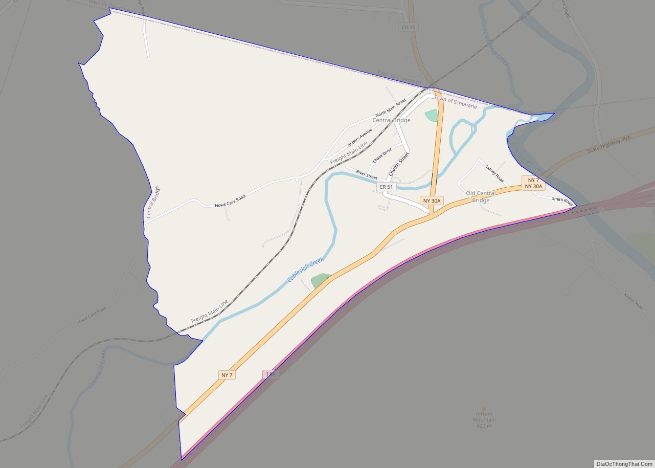
Schoharie Road Map
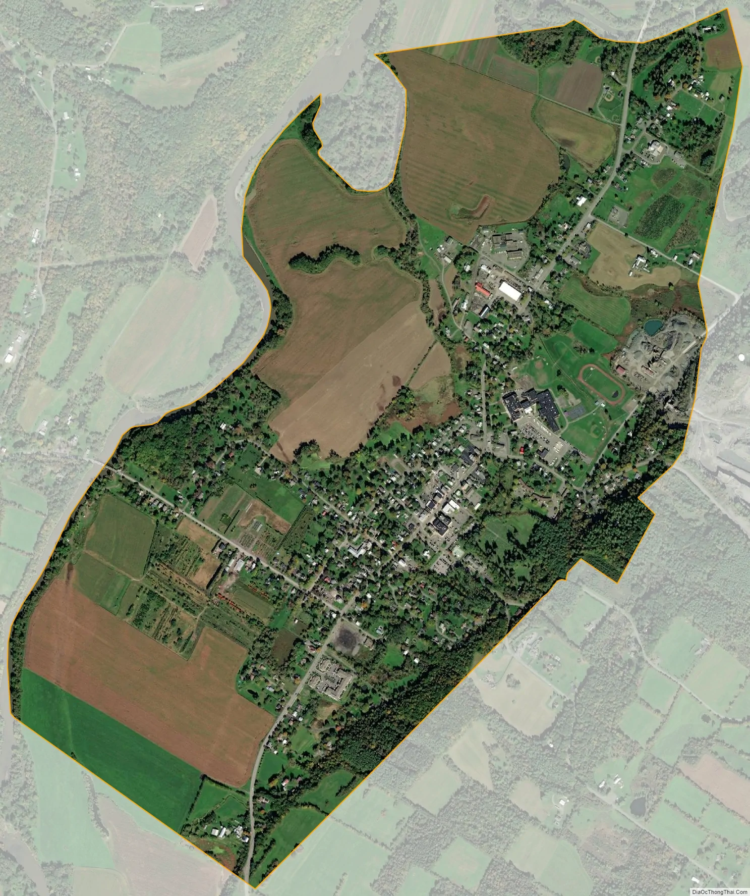
Schoharie city Satellite Map
Geography
Schoharie is located at 42°40′1″N 74°18′34″W / 42.66694°N 74.30944°W / 42.66694; -74.30944 (42.667032, -74.30961).
According to the United States Census Bureau, the village has a total area of 1.6 square miles (4.3 km). None of the area is covered with water.
Schoharie is on Route 30 (Main Street) at the junction of County Roads 1A (Bridge Street) and 1B (Prospect Street).
The village is east of the Schoharie Creek.
See also
Map of New York State and its subdivision:- Albany
- Allegany
- Bronx
- Broome
- Cattaraugus
- Cayuga
- Chautauqua
- Chemung
- Chenango
- Clinton
- Columbia
- Cortland
- Delaware
- Dutchess
- Erie
- Essex
- Franklin
- Fulton
- Genesee
- Greene
- Hamilton
- Herkimer
- Jefferson
- Kings
- Lake Ontario
- Lewis
- Livingston
- Madison
- Monroe
- Montgomery
- Nassau
- New York
- Niagara
- Oneida
- Onondaga
- Ontario
- Orange
- Orleans
- Oswego
- Otsego
- Putnam
- Queens
- Rensselaer
- Richmond
- Rockland
- Saint Lawrence
- Saratoga
- Schenectady
- Schoharie
- Schuyler
- Seneca
- Steuben
- Suffolk
- Sullivan
- Tioga
- Tompkins
- Ulster
- Warren
- Washington
- Wayne
- Westchester
- Wyoming
- Yates
- Alabama
- Alaska
- Arizona
- Arkansas
- California
- Colorado
- Connecticut
- Delaware
- District of Columbia
- Florida
- Georgia
- Hawaii
- Idaho
- Illinois
- Indiana
- Iowa
- Kansas
- Kentucky
- Louisiana
- Maine
- Maryland
- Massachusetts
- Michigan
- Minnesota
- Mississippi
- Missouri
- Montana
- Nebraska
- Nevada
- New Hampshire
- New Jersey
- New Mexico
- New York
- North Carolina
- North Dakota
- Ohio
- Oklahoma
- Oregon
- Pennsylvania
- Rhode Island
- South Carolina
- South Dakota
- Tennessee
- Texas
- Utah
- Vermont
- Virginia
- Washington
- West Virginia
- Wisconsin
- Wyoming