Evans Mills is a village in Jefferson County, New York, United States. The population was 621 at the 2010 census. The village is within the town of Le Ray and is northeast of Watertown.
| Name: | Evans Mills village |
|---|---|
| LSAD Code: | 47 |
| LSAD Description: | village (suffix) |
| State: | New York |
| County: | Jefferson County |
| Elevation: | 423 ft (129 m) |
| Total Area: | 0.82 sq mi (2.12 km²) |
| Land Area: | 0.82 sq mi (2.12 km²) |
| Water Area: | 0.00 sq mi (0.00 km²) |
| Total Population: | 678 |
| Population Density: | 829.87/sq mi (320.50/km²) |
| ZIP code: | 13637 |
| Area code: | 315 |
| FIPS code: | 3624823 |
| GNISfeature ID: | 0949734 |
Online Interactive Map
Click on ![]() to view map in "full screen" mode.
to view map in "full screen" mode.
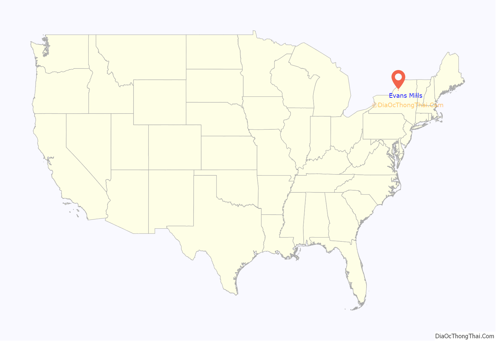
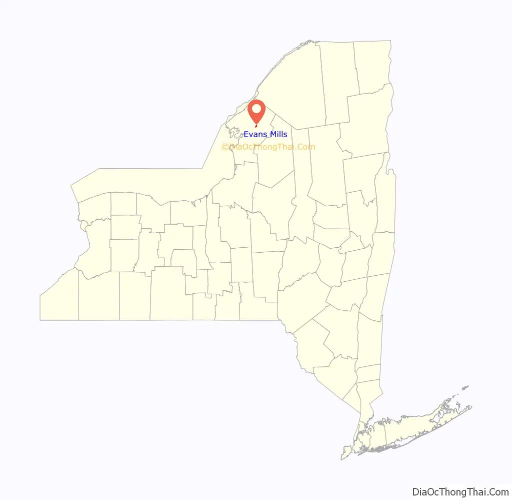
Evans Mills location map. Where is Evans Mills village?
History
The village was founded around 1802, but the mills were not erected until 1806. In the middle of the 19th century, the community was briefly called “Evansville”. It was named for Ethni Evans, a mill owner.
Evans Mills became an incorporated village in 1874. Its population was then about 500.
The LeRay Hotel, circa 1828, was listed on the National Register of Historic Places in 1982.
The town is the home of Evans Mills Speedway which was built in 1967.
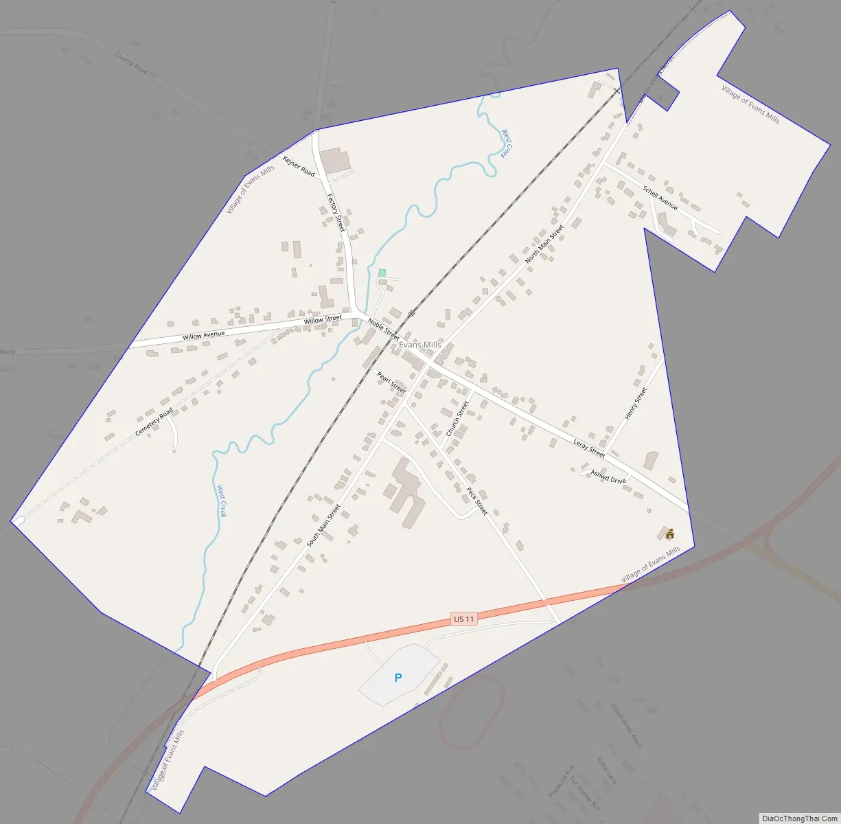
Evans Mills Road Map
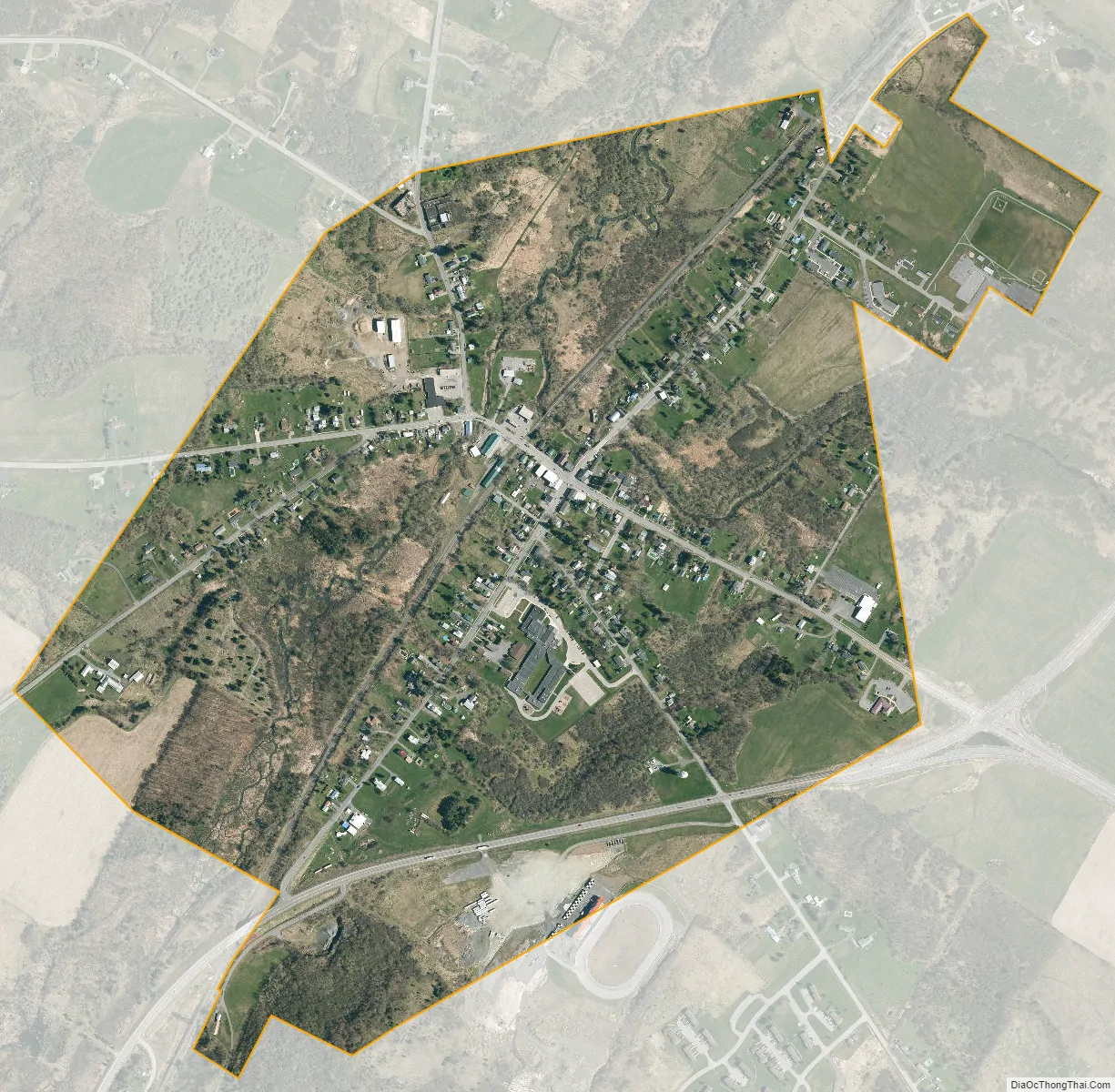
Evans Mills city Satellite Map
Geography
Evans Mills is located northeast of the center of Jefferson County at 44°5′19″N 75°48′26″W / 44.08861°N 75.80722°W / 44.08861; -75.80722 (44.088555, -75.807193). It sits near the geographic center of the town of Le Ray, in the valley of West Creek, a northeastward-flowing tributary of the Indian River.
According to the United States Census Bureau, the village has a total area of 0.81 square miles (2.1 km), all land.
Evans Mills is near the west side of Fort Drum. It is located on County Road 16 (Willow Street). U.S. Route 11 passes through the southern side of the village, leading southwest 10 miles (16 km) to Watertown, the county seat, and northeast 7 miles (11 km) to the village of Philadelphia.
See also
Map of New York State and its subdivision:- Albany
- Allegany
- Bronx
- Broome
- Cattaraugus
- Cayuga
- Chautauqua
- Chemung
- Chenango
- Clinton
- Columbia
- Cortland
- Delaware
- Dutchess
- Erie
- Essex
- Franklin
- Fulton
- Genesee
- Greene
- Hamilton
- Herkimer
- Jefferson
- Kings
- Lake Ontario
- Lewis
- Livingston
- Madison
- Monroe
- Montgomery
- Nassau
- New York
- Niagara
- Oneida
- Onondaga
- Ontario
- Orange
- Orleans
- Oswego
- Otsego
- Putnam
- Queens
- Rensselaer
- Richmond
- Rockland
- Saint Lawrence
- Saratoga
- Schenectady
- Schoharie
- Schuyler
- Seneca
- Steuben
- Suffolk
- Sullivan
- Tioga
- Tompkins
- Ulster
- Warren
- Washington
- Wayne
- Westchester
- Wyoming
- Yates
- Alabama
- Alaska
- Arizona
- Arkansas
- California
- Colorado
- Connecticut
- Delaware
- District of Columbia
- Florida
- Georgia
- Hawaii
- Idaho
- Illinois
- Indiana
- Iowa
- Kansas
- Kentucky
- Louisiana
- Maine
- Maryland
- Massachusetts
- Michigan
- Minnesota
- Mississippi
- Missouri
- Montana
- Nebraska
- Nevada
- New Hampshire
- New Jersey
- New Mexico
- New York
- North Carolina
- North Dakota
- Ohio
- Oklahoma
- Oregon
- Pennsylvania
- Rhode Island
- South Carolina
- South Dakota
- Tennessee
- Texas
- Utah
- Vermont
- Virginia
- Washington
- West Virginia
- Wisconsin
- Wyoming


