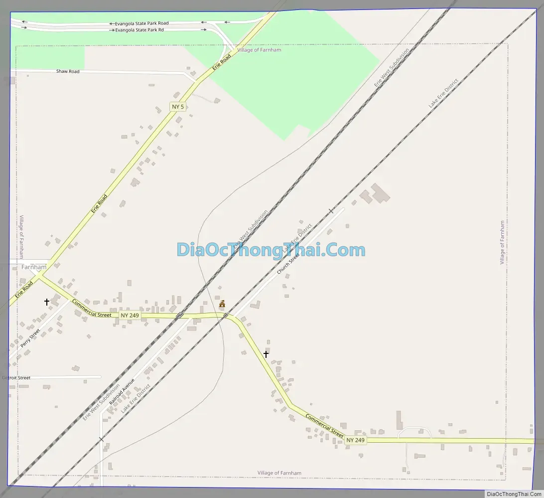
Farnham is a village in the town of Brant, Erie County, New York, United States. The population of Farnham was 381 at the 2020 census. It is part of the Buffalo–Niagara Falls Metropolitan Statistical Area. The village is named after Leroy Farnham, a local landowner and merchant.
Farnham is located in the western part of the town of Brant, north of the Cattaraugus Reservation and southeast of Evangola State Park.
| Name: | Farnham village |
|---|---|
| LSAD Code: | 47 |
| LSAD Description: | village (suffix) |
| State: | New York |
| County: | Erie County |
| Elevation: | 640 ft (195 m) |
| Total Area: | 1.21 sq mi (3.13 km²) |
| Land Area: | 1.21 sq mi (3.13 km²) |
| Water Area: | 0.00 sq mi (0.00 km²) |
| Total Population: | 381 |
| Population Density: | 315.66/sq mi (121.89/km²) |
| ZIP code: | 14061 |
| Area code: | 716 |
| FIPS code: | 3625428 |
| GNISfeature ID: | 0949923 |
Online Interactive Map
Click on ![]() to view map in "full screen" mode.
to view map in "full screen" mode.
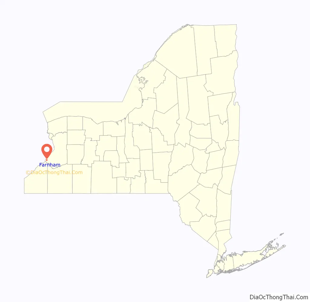
Farnham location map. Where is Farnham village?

History
The Village of Farnham was incorporated in 1892, having been built up around the Lake Shore Railroad.
Farnham Road Map
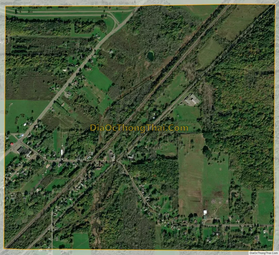
Farnham city Satellite Map
Geography
Farnham is located at 42°35′30″N 79°5′7″W / 42.59167°N 79.08528°W / 42.59167; -79.08528 (42.591643, -79.085173).
According to the United States Census Bureau, the village has a total area of 1.2 square miles (3.1 km), all land.
Farnham is at the junction of New York State Route 5 and New York State Route 249.
See also
Map of New York State and its subdivision:- Albany
- Allegany
- Bronx
- Broome
- Cattaraugus
- Cayuga
- Chautauqua
- Chemung
- Chenango
- Clinton
- Columbia
- Cortland
- Delaware
- Dutchess
- Erie
- Essex
- Franklin
- Fulton
- Genesee
- Greene
- Hamilton
- Herkimer
- Jefferson
- Kings
- Lake Ontario
- Lewis
- Livingston
- Madison
- Monroe
- Montgomery
- Nassau
- New York
- Niagara
- Oneida
- Onondaga
- Ontario
- Orange
- Orleans
- Oswego
- Otsego
- Putnam
- Queens
- Rensselaer
- Richmond
- Rockland
- Saint Lawrence
- Saratoga
- Schenectady
- Schoharie
- Schuyler
- Seneca
- Steuben
- Suffolk
- Sullivan
- Tioga
- Tompkins
- Ulster
- Warren
- Washington
- Wayne
- Westchester
- Wyoming
- Yates
- Alabama
- Alaska
- Arizona
- Arkansas
- California
- Colorado
- Connecticut
- Delaware
- District of Columbia
- Florida
- Georgia
- Hawaii
- Idaho
- Illinois
- Indiana
- Iowa
- Kansas
- Kentucky
- Louisiana
- Maine
- Maryland
- Massachusetts
- Michigan
- Minnesota
- Mississippi
- Missouri
- Montana
- Nebraska
- Nevada
- New Hampshire
- New Jersey
- New Mexico
- New York
- North Carolina
- North Dakota
- Ohio
- Oklahoma
- Oregon
- Pennsylvania
- Rhode Island
- South Carolina
- South Dakota
- Tennessee
- Texas
- Utah
- Vermont
- Virginia
- Washington
- West Virginia
- Wisconsin
- Wyoming