Fillmore is a hamlet (and census-designated place) in the town of Hume, Allegany County, New York, United States. As of the 2010 census it had a population of 603. It was originally known as “The Mouth of the Creek” but was named for President Millard Fillmore in 1850. The former village of Fillmore dissolved its incorporation and is now simply a named hamlet southeast of the town center of Hume. Fillmore is the mailing address of the Hungarian Scout Camp, the main campsite of the Hungarian Scout Association in Exteris, although the camp is technically within the neighboring town of Granger. Fillmore is also the site of the Most Holy Family Monastery which was deemed a hate group by the anti-Catholic Southern Poverty Law Center (SPLC) in February 2017.
| Name: | Fillmore CDP |
|---|---|
| LSAD Code: | 57 |
| LSAD Description: | CDP (suffix) |
| State: | New York |
| County: | Allegany County |
| Incorporated: | November 24, 1924 |
| Elevation: | 1,200 ft (400 m) |
| Total Area: | 0.95 sq mi (2.46 km²) |
| Land Area: | 0.95 sq mi (2.46 km²) |
| Water Area: | 0.00 sq mi (0.00 km²) |
| Total Population: | 596 |
| Population Density: | 628.03/sq mi (242.39/km²) |
| ZIP code: | 14735 |
| Area code: | 585 |
| FIPS code: | 3625747 |
| GNISfeature ID: | 0950053 |
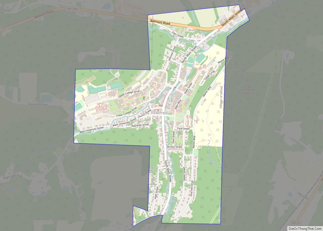
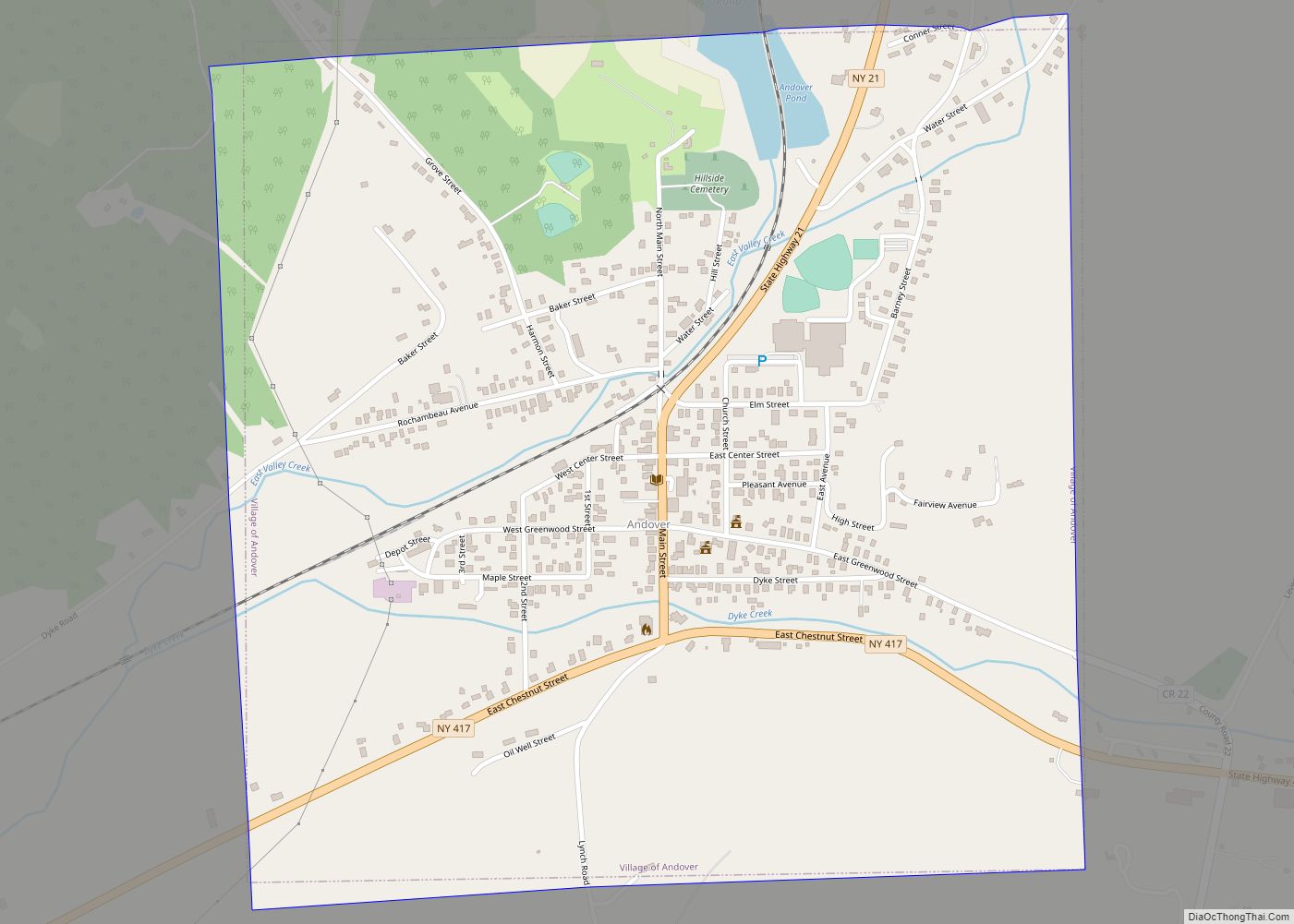
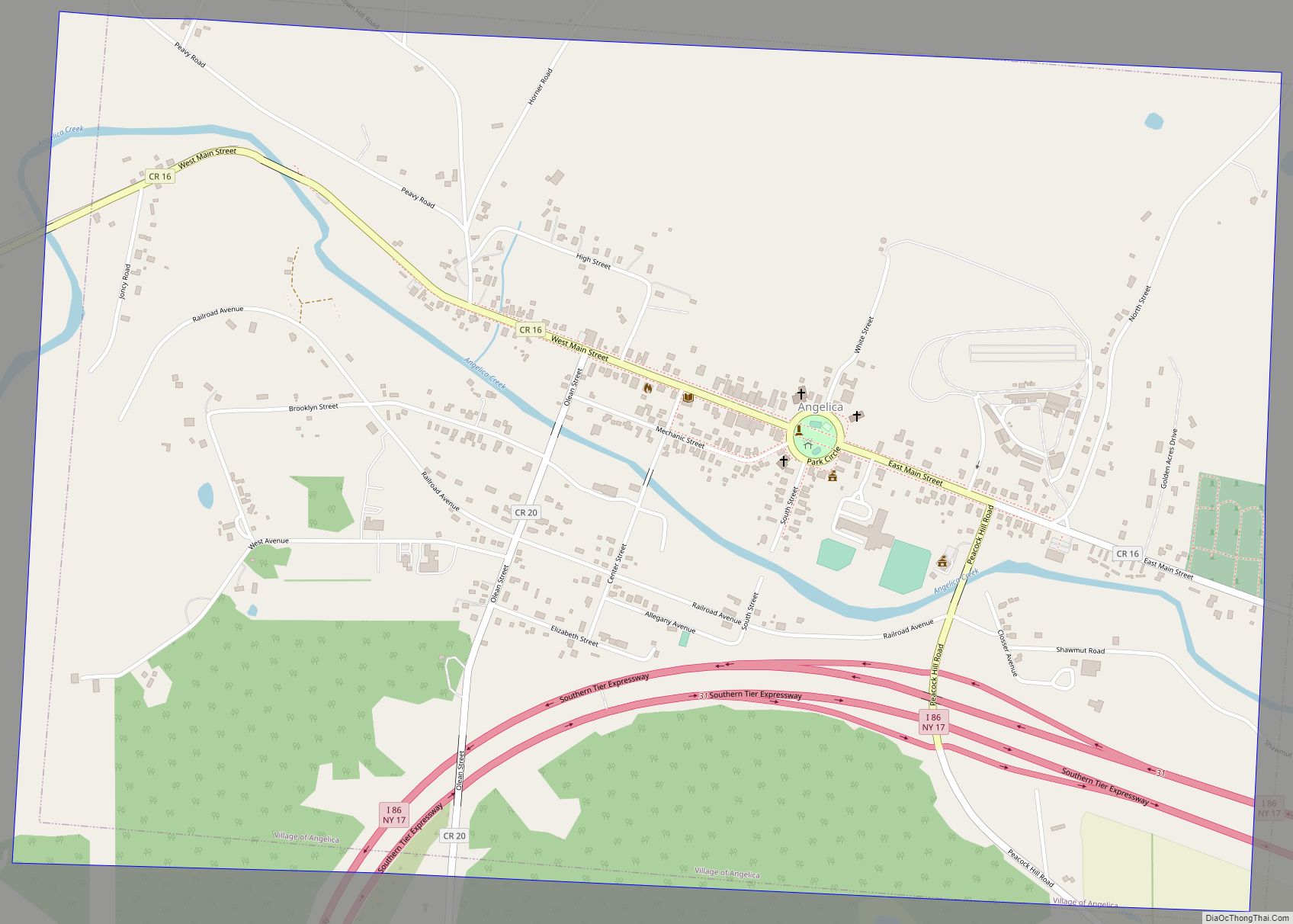
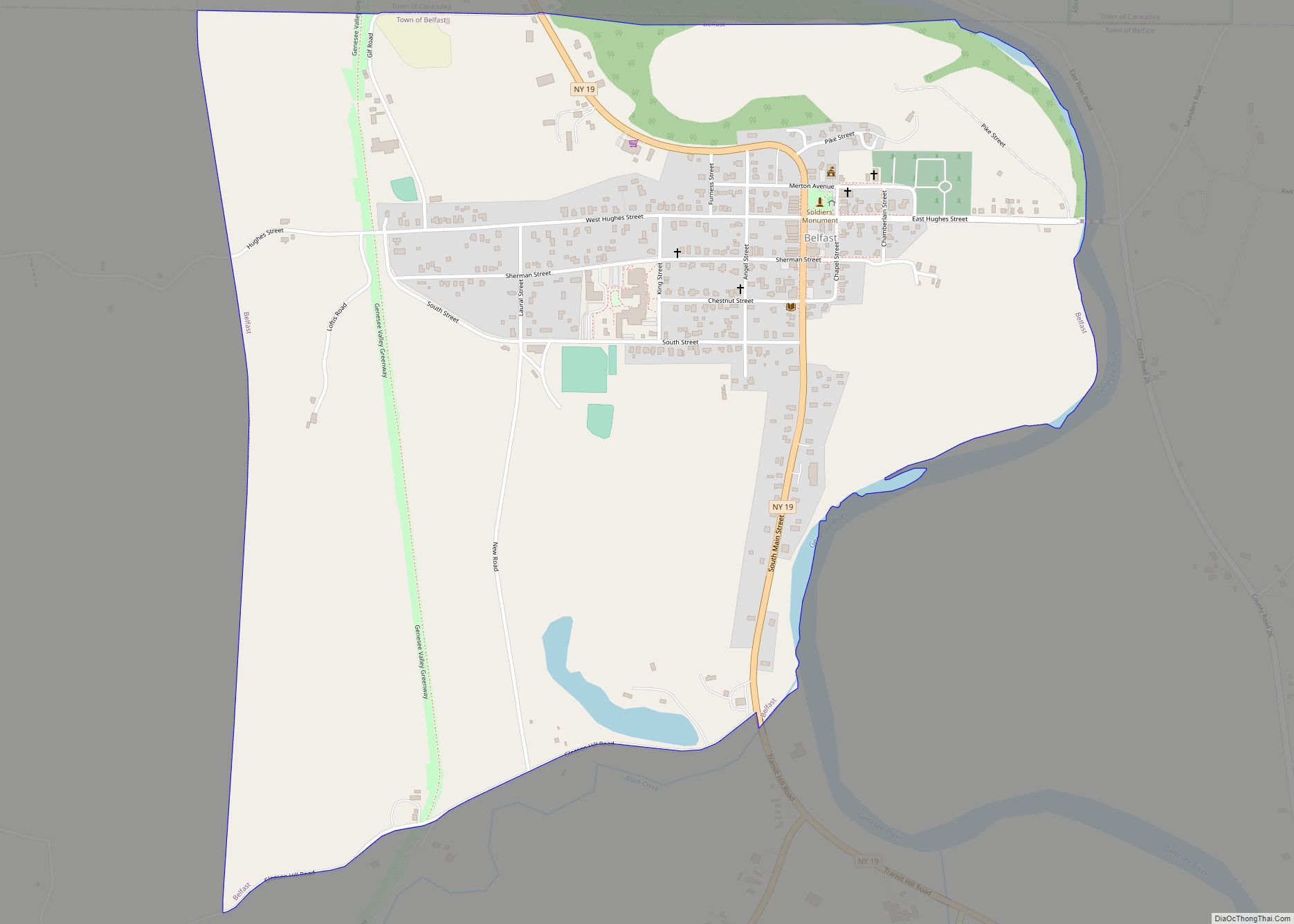
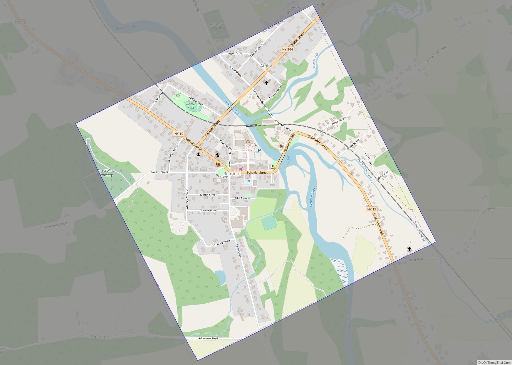
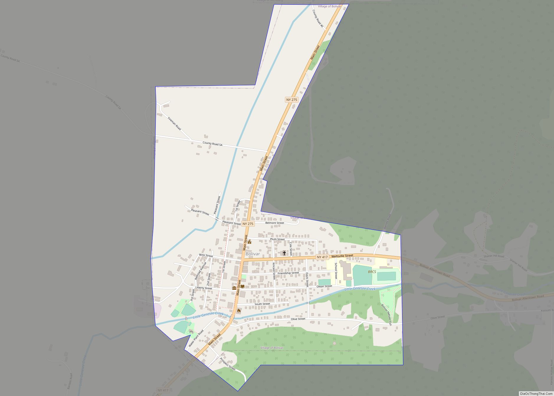
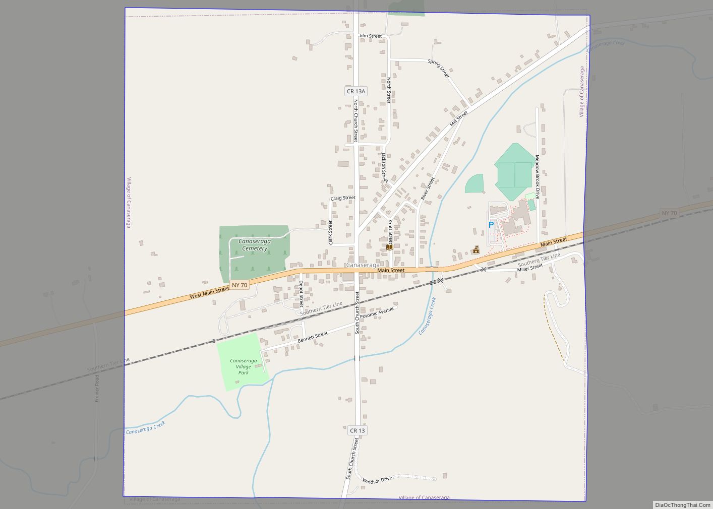
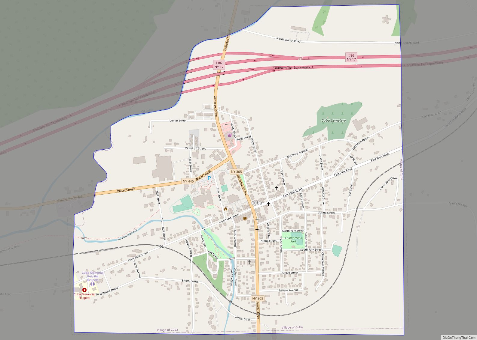
Online Interactive Map
Click on ![]() to view map in "full screen" mode.
to view map in "full screen" mode.
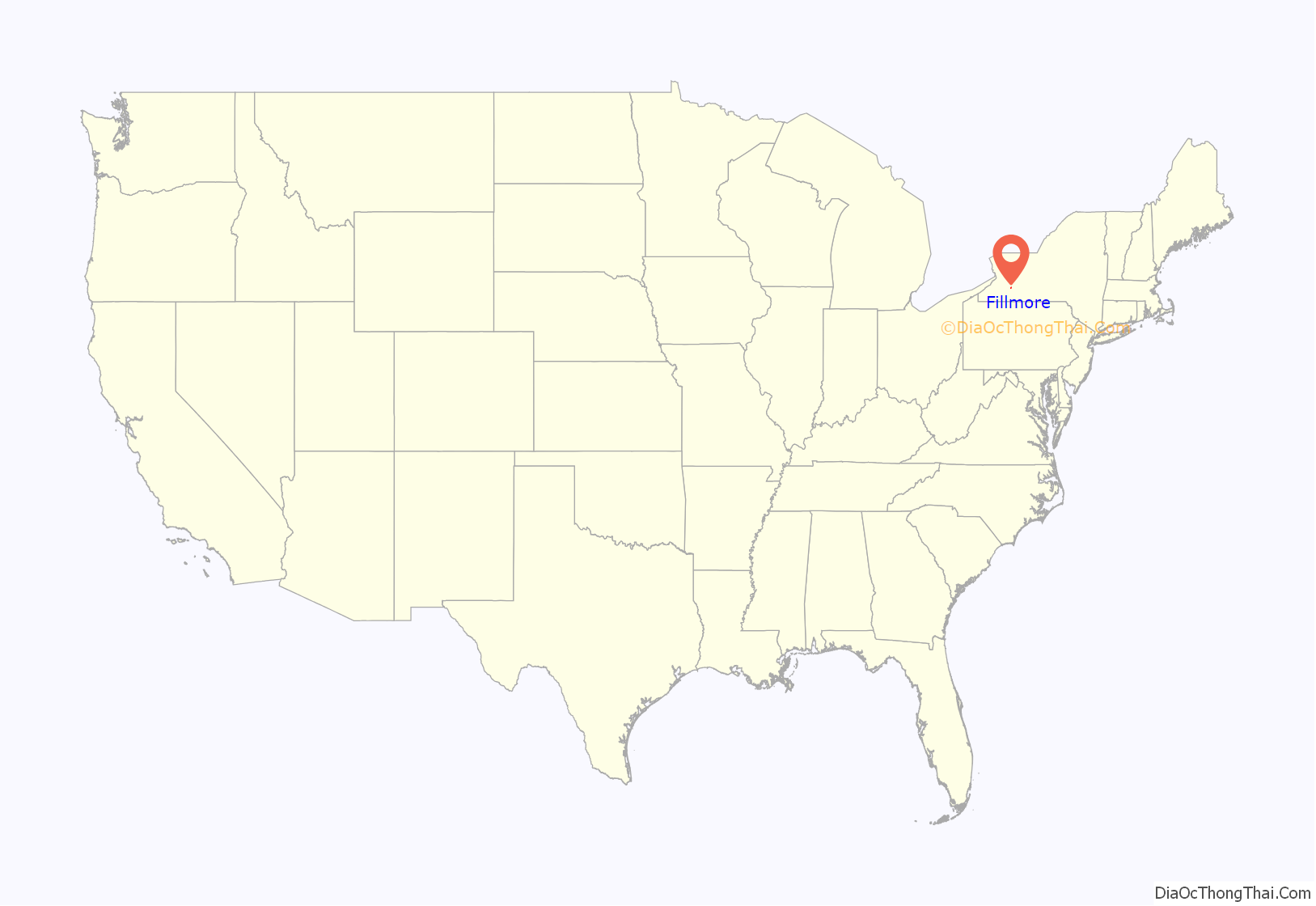
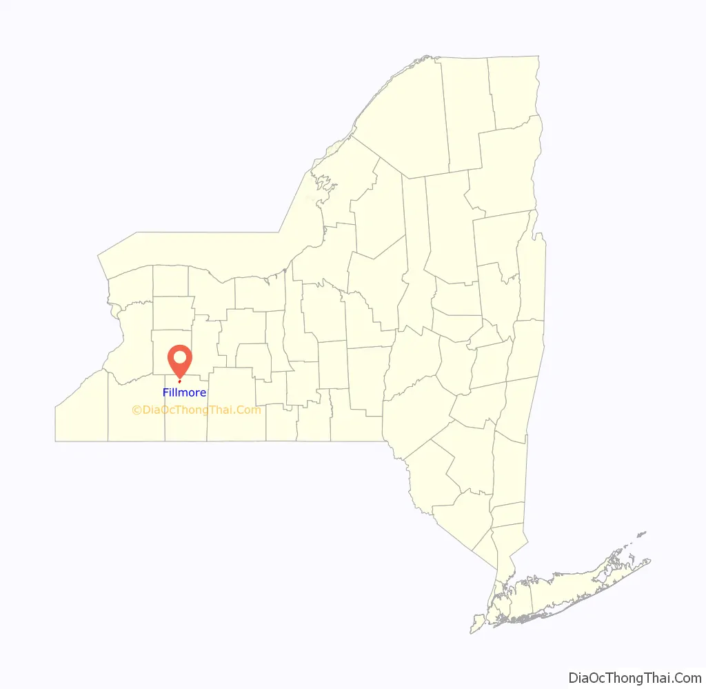
Fillmore location map. Where is Fillmore CDP?
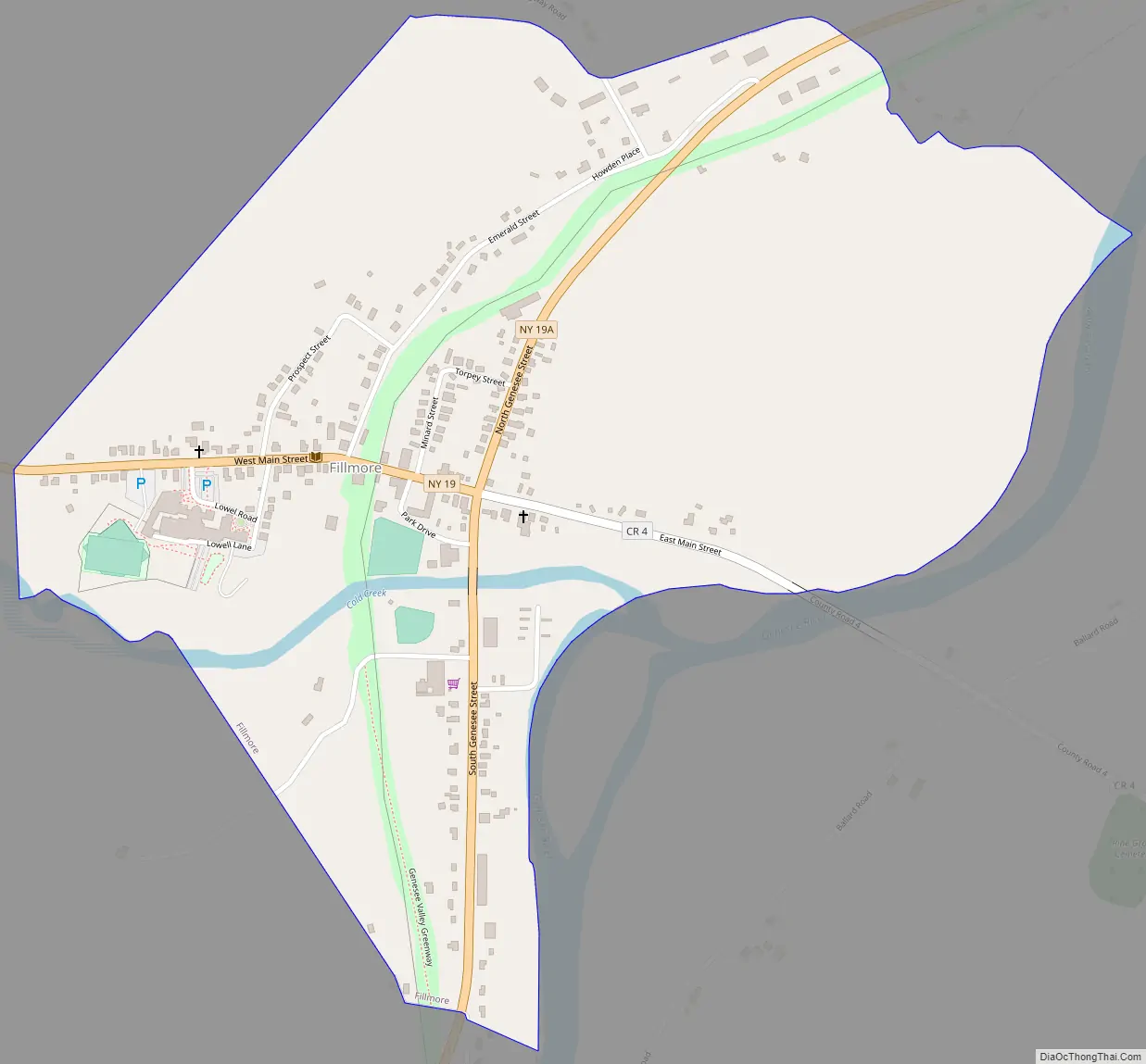
Fillmore Road Map
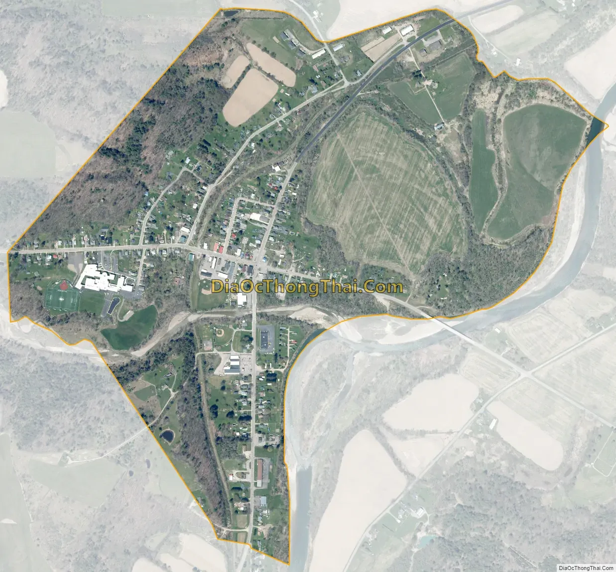
Fillmore city Satellite Map
Geography
Fillmore is located where Cold Creek joins the Genesee River, at approximately 1,200 feet (370 m) above sea level, at the junction of County Road 4 and New York State Route 19 and New York State Route 19A. The hamlet is 1 mile (1.6 km) southeast of the town center of Hume and 4 miles (6 km) north of Houghton on Route 19 and 3 miles (5 km) south of Rossburg (another hamlet in the town of Hume) on Route 19A.
According to the United States Census Bureau, the Fillmore CDP has a total area of 0.81 square miles (2.1 km), all land.
See also
Map of New York State and its subdivision:- Albany
- Allegany
- Bronx
- Broome
- Cattaraugus
- Cayuga
- Chautauqua
- Chemung
- Chenango
- Clinton
- Columbia
- Cortland
- Delaware
- Dutchess
- Erie
- Essex
- Franklin
- Fulton
- Genesee
- Greene
- Hamilton
- Herkimer
- Jefferson
- Kings
- Lake Ontario
- Lewis
- Livingston
- Madison
- Monroe
- Montgomery
- Nassau
- New York
- Niagara
- Oneida
- Onondaga
- Ontario
- Orange
- Orleans
- Oswego
- Otsego
- Putnam
- Queens
- Rensselaer
- Richmond
- Rockland
- Saint Lawrence
- Saratoga
- Schenectady
- Schoharie
- Schuyler
- Seneca
- Steuben
- Suffolk
- Sullivan
- Tioga
- Tompkins
- Ulster
- Warren
- Washington
- Wayne
- Westchester
- Wyoming
- Yates
- Alabama
- Alaska
- Arizona
- Arkansas
- California
- Colorado
- Connecticut
- Delaware
- District of Columbia
- Florida
- Georgia
- Hawaii
- Idaho
- Illinois
- Indiana
- Iowa
- Kansas
- Kentucky
- Louisiana
- Maine
- Maryland
- Massachusetts
- Michigan
- Minnesota
- Mississippi
- Missouri
- Montana
- Nebraska
- Nevada
- New Hampshire
- New Jersey
- New Mexico
- New York
- North Carolina
- North Dakota
- Ohio
- Oklahoma
- Oregon
- Pennsylvania
- Rhode Island
- South Carolina
- South Dakota
- Tennessee
- Texas
- Utah
- Vermont
- Virginia
- Washington
- West Virginia
- Wisconsin
- Wyoming