Fishers Landing is a hamlet and census-designated place (CDP) in the town of Orleans in Jefferson County, New York, United States. It is just southwest of Grass Point State Park in the Thousand Islands region of New York. As of the 2010 census the community had a population of 89.
| Name: | Fishers Landing CDP |
|---|---|
| LSAD Code: | 57 |
| LSAD Description: | CDP (suffix) |
| State: | New York |
| County: | Jefferson County |
| Elevation: | 305 ft (93 m) |
| Total Area: | 1.01 sq mi (2.62 km²) |
| Land Area: | 0.45 sq mi (1.17 km²) |
| Water Area: | 0.56 sq mi (1.45 km²) |
| Total Population: | 119 |
| Population Density: | 263.86/sq mi (101.84/km²) |
| ZIP code: | 13641 |
| Area code: | 315 |
| FIPS code: | 3625934 |
| GNISfeature ID: | 972473 |
Online Interactive Map
Click on ![]() to view map in "full screen" mode.
to view map in "full screen" mode.
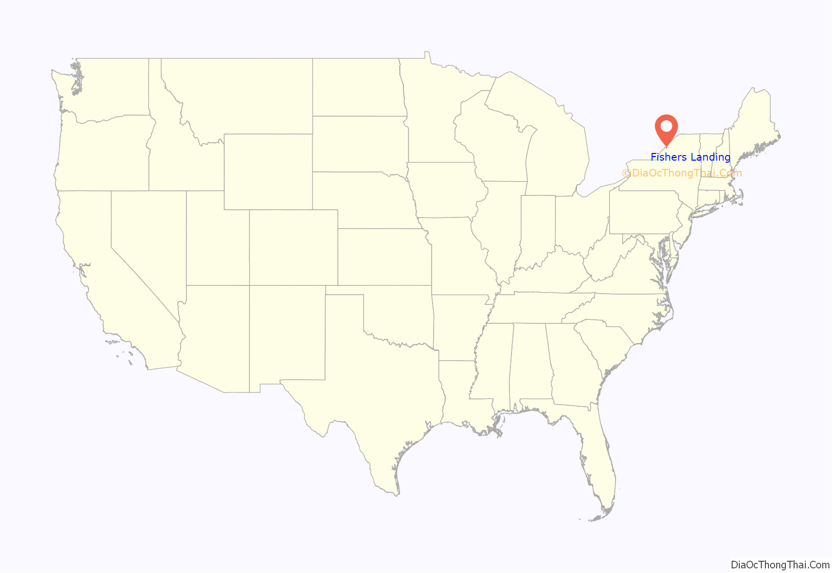
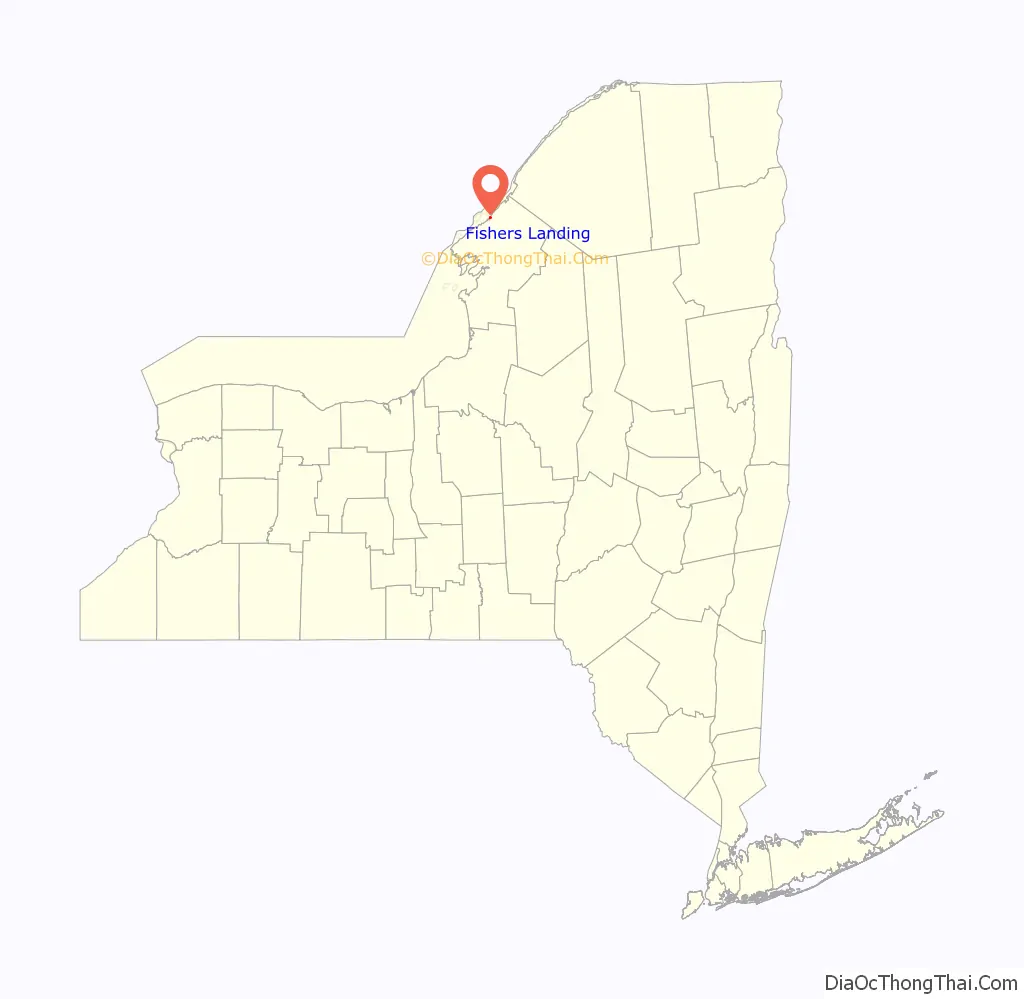
Fishers Landing location map. Where is Fishers Landing CDP?
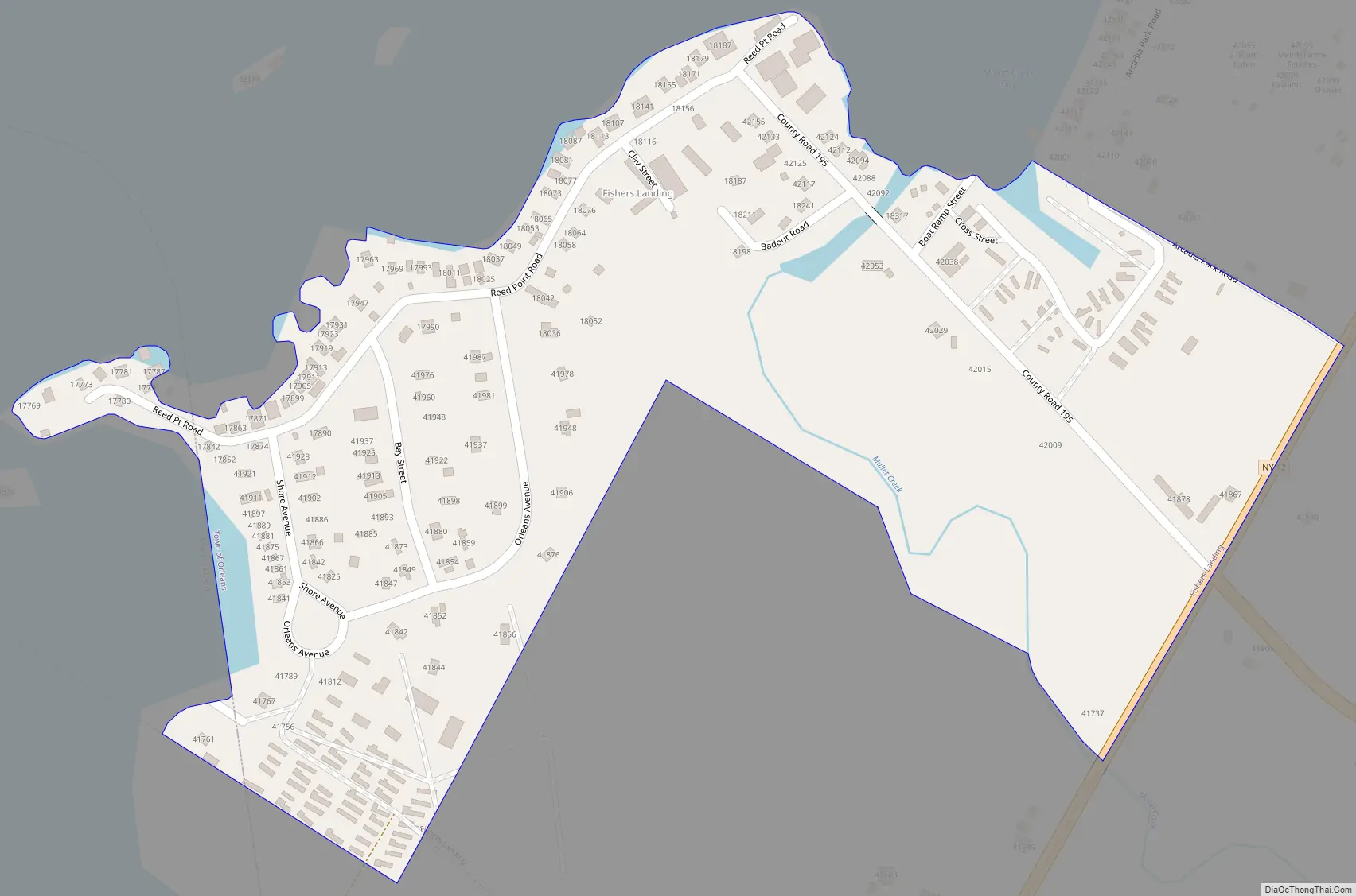
Fishers Landing Road Map
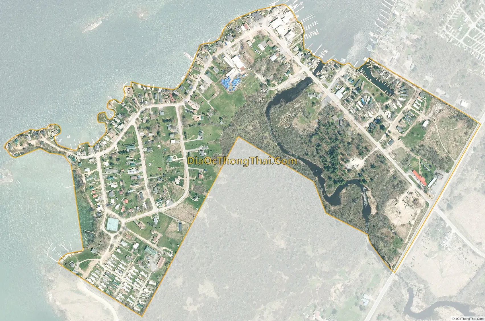
Fishers Landing city Satellite Map
Geography
Fishers Landing is in the northern part of the town of Orleans, on the south bank of the St. Lawrence River where it enters the American Narrows, a channel separating the mainland from Wellesley Island (also part of the town of Orleans). There is a local marina where island owners and visitors park their car/boat while traveling to and from the mainland. The Rock Island Light, a New York state park, is one-half mile (0.80 km) out in the channel from Fishers Landing, and the community of Thousand Island Park is directly across the channel on Wellesley Island.
New York State Route 12 passes along the southeast edge of the Fishers Landing CDP, leading northeast (downstream along the St. Lawrence) 2 miles (3 km) to Interstate 81 and 6 miles (10 km) to Alexandria Bay, and southwest (upriver) 5 miles (8 km) to Clayton. New York State Route 180 intersects Route 12 at Fishers Landing, leading south 6 miles (10 km) to La Fargeville. Watertown, the Jefferson county seat, is 25 miles (40 km) to the south.
According to the U.S. Census Bureau, the Fishers Landing CDP has a total area of 0.22 square miles (0.58 km), of which 1.0 acre (4,183 m), or 0.72%, are water.
See also
Map of New York State and its subdivision:- Albany
- Allegany
- Bronx
- Broome
- Cattaraugus
- Cayuga
- Chautauqua
- Chemung
- Chenango
- Clinton
- Columbia
- Cortland
- Delaware
- Dutchess
- Erie
- Essex
- Franklin
- Fulton
- Genesee
- Greene
- Hamilton
- Herkimer
- Jefferson
- Kings
- Lake Ontario
- Lewis
- Livingston
- Madison
- Monroe
- Montgomery
- Nassau
- New York
- Niagara
- Oneida
- Onondaga
- Ontario
- Orange
- Orleans
- Oswego
- Otsego
- Putnam
- Queens
- Rensselaer
- Richmond
- Rockland
- Saint Lawrence
- Saratoga
- Schenectady
- Schoharie
- Schuyler
- Seneca
- Steuben
- Suffolk
- Sullivan
- Tioga
- Tompkins
- Ulster
- Warren
- Washington
- Wayne
- Westchester
- Wyoming
- Yates
- Alabama
- Alaska
- Arizona
- Arkansas
- California
- Colorado
- Connecticut
- Delaware
- District of Columbia
- Florida
- Georgia
- Hawaii
- Idaho
- Illinois
- Indiana
- Iowa
- Kansas
- Kentucky
- Louisiana
- Maine
- Maryland
- Massachusetts
- Michigan
- Minnesota
- Mississippi
- Missouri
- Montana
- Nebraska
- Nevada
- New Hampshire
- New Jersey
- New Mexico
- New York
- North Carolina
- North Dakota
- Ohio
- Oklahoma
- Oregon
- Pennsylvania
- Rhode Island
- South Carolina
- South Dakota
- Tennessee
- Texas
- Utah
- Vermont
- Virginia
- Washington
- West Virginia
- Wisconsin
- Wyoming


