Forestville is a hamlet (and census-designated place) in Chautauqua County, New York, United States. The population was 697 at the 2010 census. The hamlet is within the town of Hanover and in the northeast part of the county. It was an incorporated village from 1848 to 2016.
| Name: | Forestville CDP |
|---|---|
| LSAD Code: | 57 |
| LSAD Description: | CDP (suffix) |
| State: | New York |
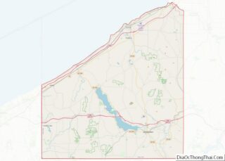
| County: | Chautauqua County |
| Incorporated: | 1848 |
| Elevation: | 932 ft (284 m) |
| Total Area: | 1.06 sq mi (2.73 km²) |
| Land Area: | 1.06 sq mi (2.73 km²) |
| Water Area: | 0.00 sq mi (0.00 km²) |
| Total Population: | 704 |
| Population Density: | 666.67/sq mi (257.52/km²) |
| ZIP code: | 14062 |
| Area code: | 716 |
| FIPS code: | 3626649 |
| GNISfeature ID: | 0950437 |
Online Interactive Map
Click on ![]() to view map in "full screen" mode.
to view map in "full screen" mode.
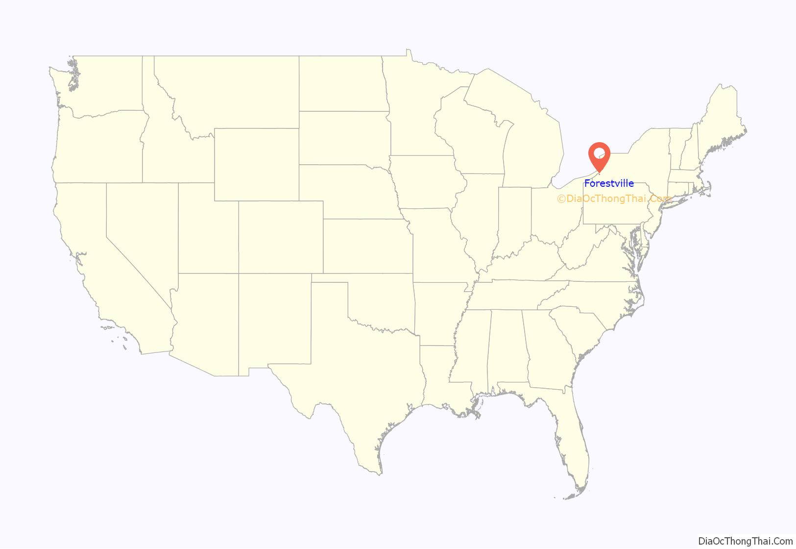
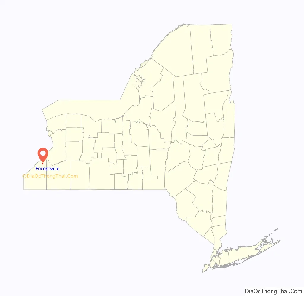
Forestville location map. Where is Forestville CDP?
History
The first settlers were the Tupper brothers in 1805. The community began in 1808 as “Walnut Falls”. Also known as “Moore’s Hills,” the name was changed to “Forestville” in 1820. The village was incorporated in 1848.
The “Bell Tower” at the high school is the oldest standing brick structure in the north county. The Bell Tower landmark was re-constructed in the early 2000s by Forestville Central School, led by then-Facilities Manager and longtime resident Steve Arnold (class of ‘55). A barn or carriage house located at 29 Lodi Street is the oldest standing wooden structure in northern Chautauqua County.
In 2015, following emergency loans from the county, the inhabitants were called to vote on the dissolution of the village. Dissolution was approved by a 137–97 vote. The Village of Forestville was officially dissolved on December 31, 2016.
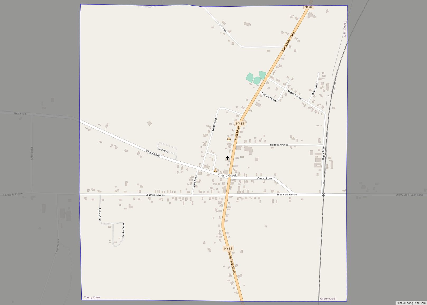
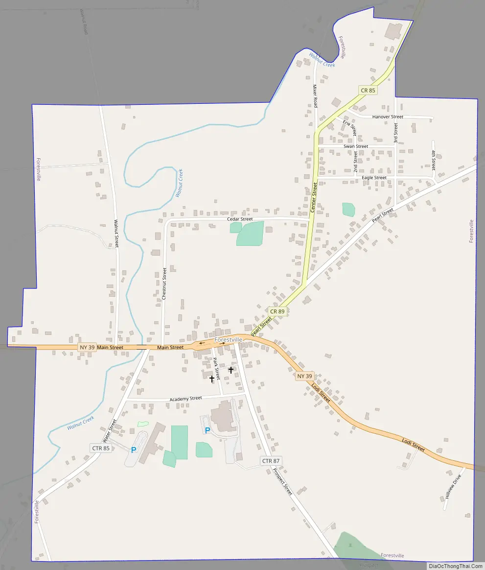
Forestville Road Map
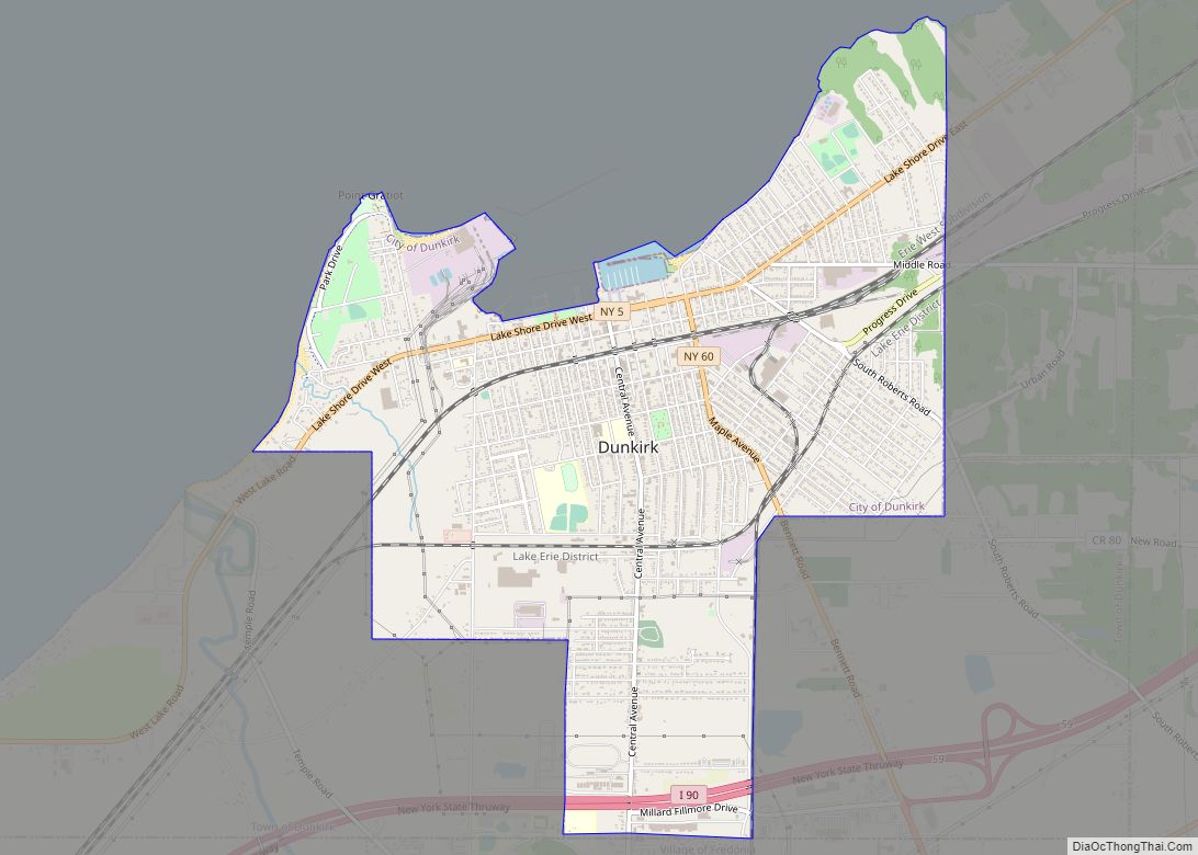
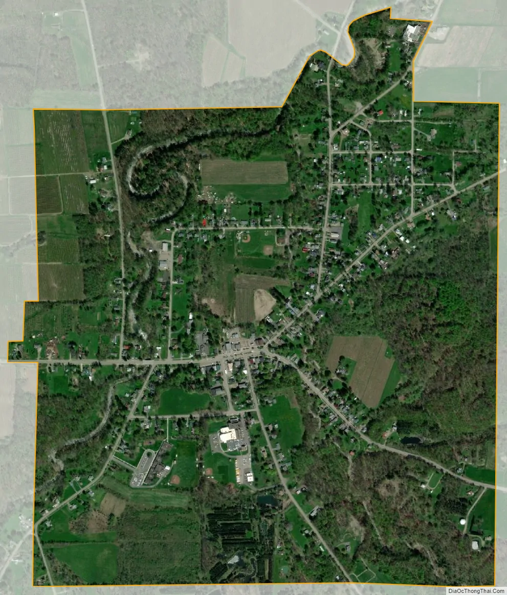
Forestville city Satellite Map
Geography
Forestville is in the southwest part of the town of Hanover at 42°28′18″N 79°10′27″W / 42.47167°N 79.17417°W / 42.47167; -79.17417 (42.471658, -79.174028).
According to the United States Census Bureau, the hamlet has a total area of 0.97 square miles (2.5 km), all land. Walnut Creek is joined by Tupper B rook north of the hamlet and flows northward to Lake Erie.
New York State Route 39 passes east–west through the hamlet as its main street and intersects county routes 85, 87, and 89. Route 39 leads east 12 miles (19 km) to Gowanda. Fredonia is 8 miles (13 km) to the west via Route 39 and U.S. Route 20.
See also
Map of New York State and its subdivision:- Albany
- Allegany
- Bronx
- Broome
- Cattaraugus
- Cayuga
- Chautauqua
- Chemung
- Chenango
- Clinton
- Columbia
- Cortland
- Delaware
- Dutchess
- Erie
- Essex
- Franklin
- Fulton
- Genesee
- Greene
- Hamilton
- Herkimer
- Jefferson
- Kings
- Lake Ontario
- Lewis
- Livingston
- Madison
- Monroe
- Montgomery
- Nassau
- New York
- Niagara
- Oneida
- Onondaga
- Ontario
- Orange
- Orleans
- Oswego
- Otsego
- Putnam
- Queens
- Rensselaer
- Richmond
- Rockland
- Saint Lawrence
- Saratoga
- Schenectady
- Schoharie
- Schuyler
- Seneca
- Steuben
- Suffolk
- Sullivan
- Tioga
- Tompkins
- Ulster
- Warren
- Washington
- Wayne
- Westchester
- Wyoming
- Yates
- Alabama
- Alaska
- Arizona
- Arkansas
- California
- Colorado
- Connecticut
- Delaware
- District of Columbia
- Florida
- Georgia
- Hawaii
- Idaho
- Illinois
- Indiana
- Iowa
- Kansas
- Kentucky
- Louisiana
- Maine
- Maryland
- Massachusetts
- Michigan
- Minnesota
- Mississippi
- Missouri
- Montana
- Nebraska
- Nevada
- New Hampshire
- New Jersey
- New Mexico
- New York
- North Carolina
- North Dakota
- Ohio
- Oklahoma
- Oregon
- Pennsylvania
- Rhode Island
- South Carolina
- South Dakota
- Tennessee
- Texas
- Utah
- Vermont
- Virginia
- Washington
- West Virginia
- Wisconsin
- Wyoming