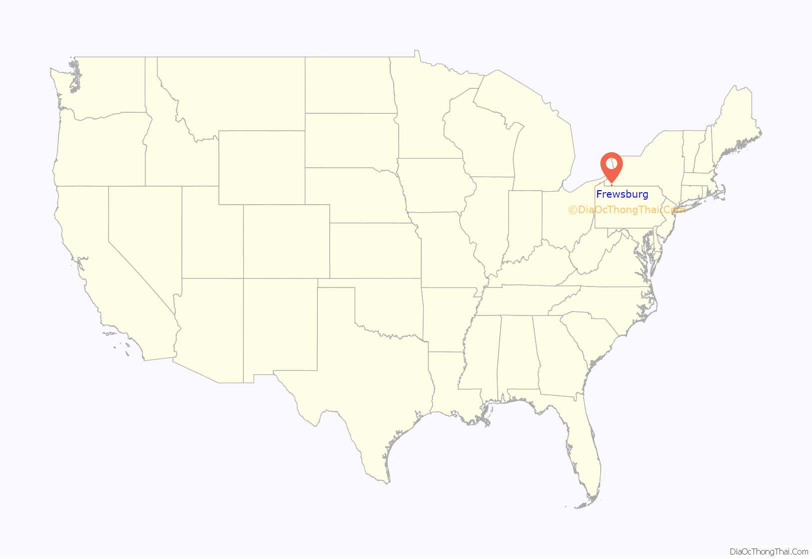
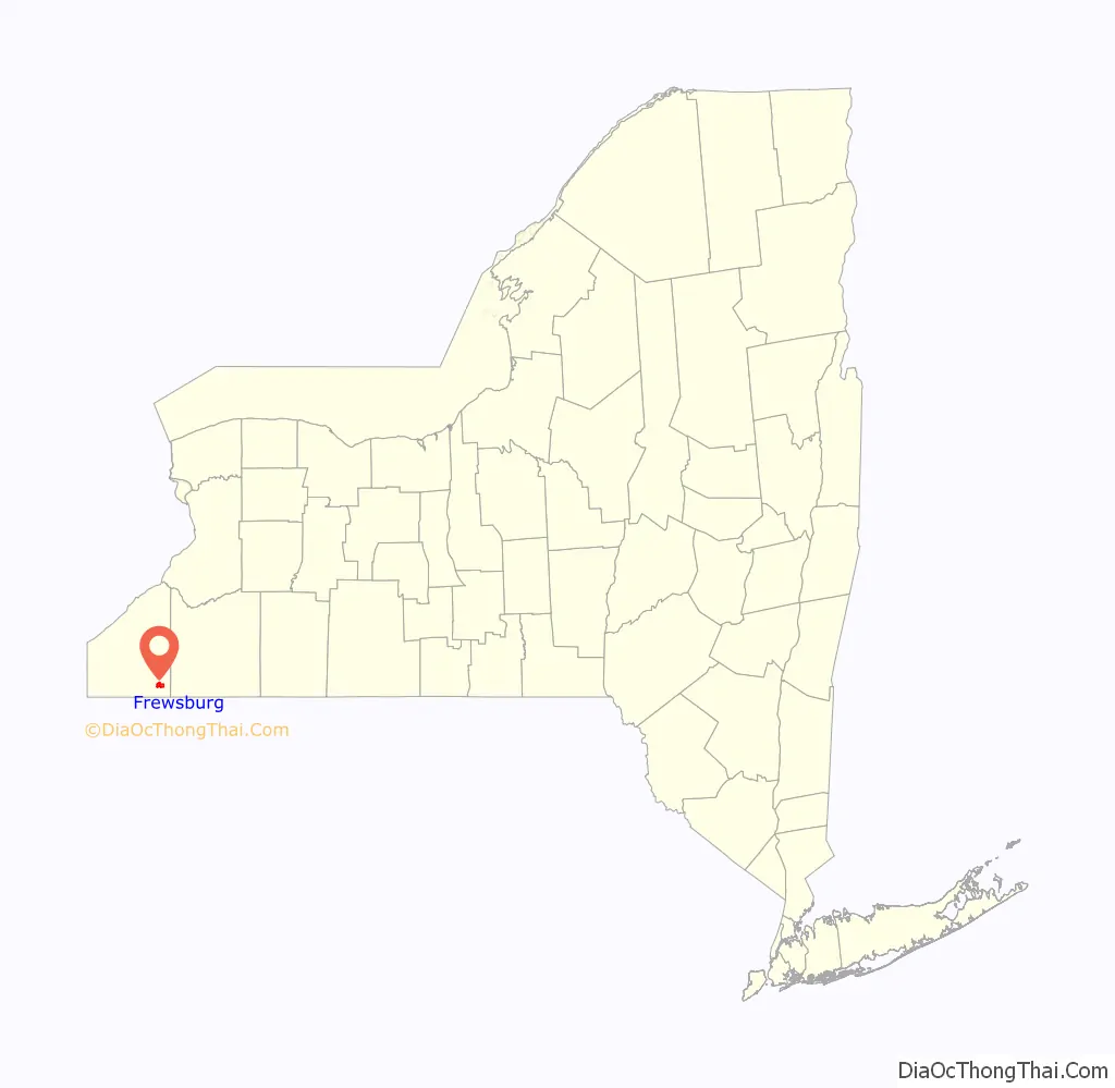
Frewsburg is a hamlet and census-designated place in the town of Carroll in Chautauqua County, New York, United States. The population was 1,906 at the 2010 census. The ZIP code is 14738 and the telephone exchange (which extends past Carroll and well into South Valley and Kennedy) is 569 (in area code 716).
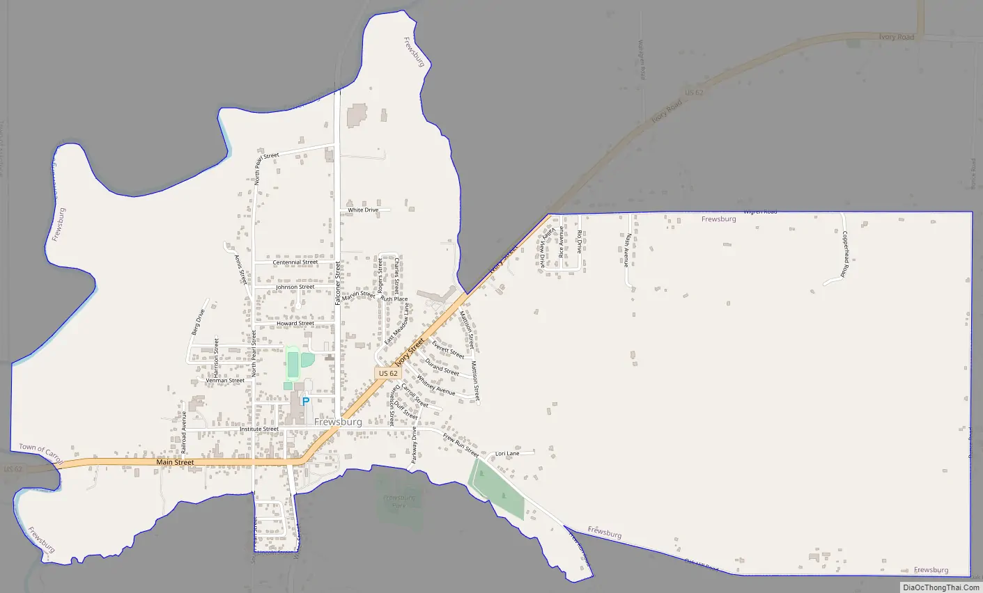
Frewsburg is located on U.S. Route 62, which forms the main street in the village. While not an incorporated village, Frewsburg does have a population that is larger than many villages in the region and is a significant community in the area, dwarfed only by the city of Jamestown 5 miles (8 km) to the northwest.
| Name: | Frewsburg CDP |
|---|---|
| LSAD Code: | 57 |
| LSAD Description: | CDP (suffix) |
| State: | New York |
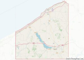
| County: | Chautauqua County |
| Elevation: | 1,299 ft (396 m) |
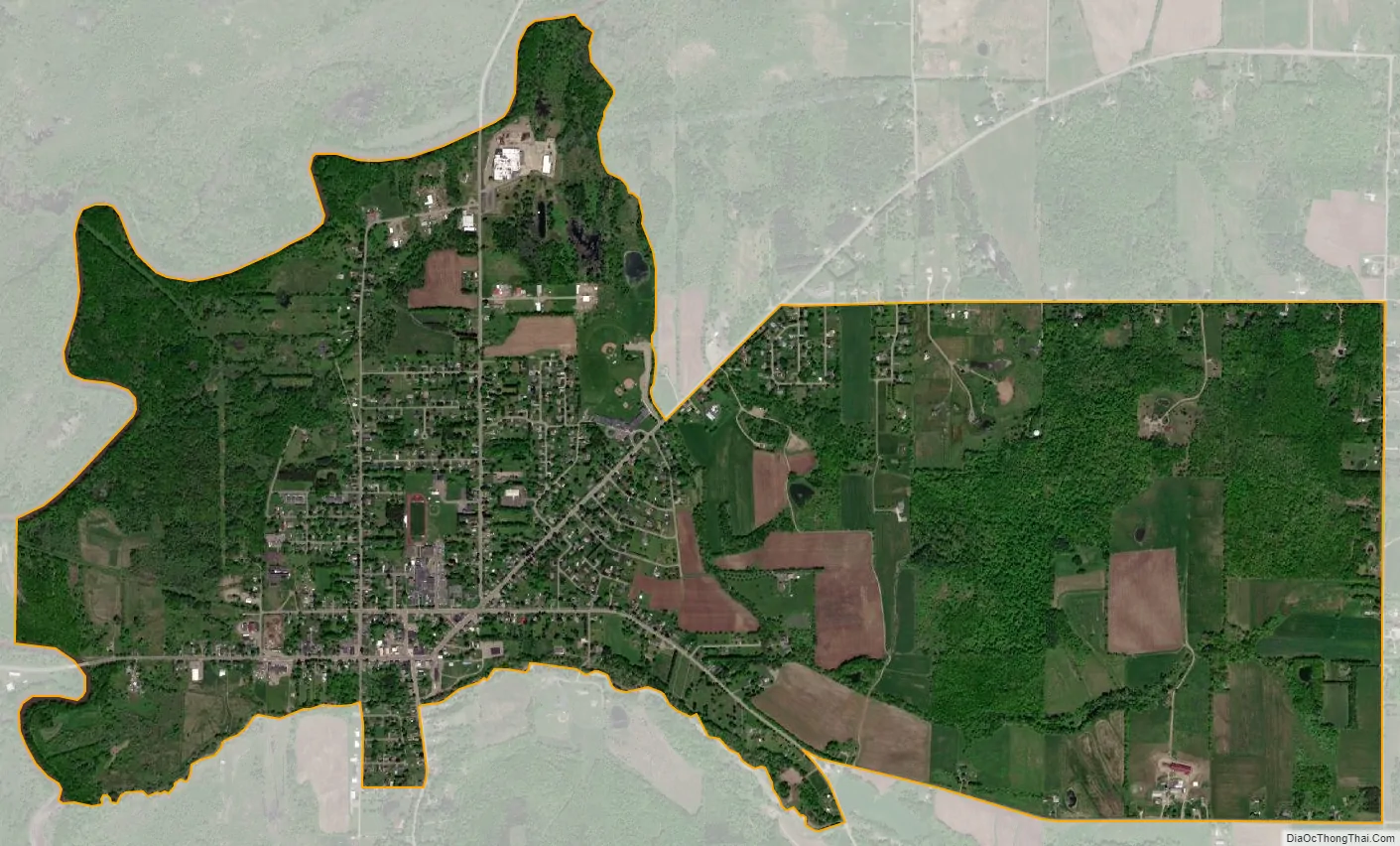
| Total Area: | 3.36 sq mi (8.69 km²) |
| Land Area: | 3.34 sq mi (8.66 km²) |
| Water Area: | 0.01 sq mi (0.04 km²) |
| Total Population: | 1,843 |
| Population Density: | 551.47/sq mi (212.93/km²) |
| ZIP code: | 14738 |
| Area code: | 716 |
| FIPS code: | 3627672 |
| GNISfeature ID: | 0950723 |
Online Interactive Map
Click on ![]() to view map in "full screen" mode.
to view map in "full screen" mode.
Frewsburg location map. Where is Frewsburg CDP?
History
Frewsburg is named after the Frews – Hugh and Mary Frew, who were supposedly the first European family to settle in this area in 1807. The location of their first house is commemorated by a historic marker on Main Street in Frewsburg. The Frew House is privately owned and still used as a residence, having been divided into two units.
The hamlet hosts the Gala Days festival, which is run by the fire department in mid-July. As of 2010, an annual June Rib Festival has been added.
On the Saturday after Thanksgiving, Frewsburg holds an annual “Old Fashioned Santa Parade.” The parade features no motorized vehicles, with all participants powered either by horseback or by foot.
Frewsburg Road Map
Frewsburg city Satellite Map
Geography
According to the United States Census Bureau, the community has a total area of 3.4 square miles (8.8 km), of which 0.015 square miles (0.04 km), or 0.43%, is water.
Conewango Creek, a tributary of the Allegheny River, flows past the west side of the village.
U.S. Route 62 passes through Frewsburg as Main Street. County Routes 34, 53 and 55 meet US 62 on the east side of town. New York State Route 60 has its southern terminus a few miles west of Frewsburg; a previous routing of Route 60 extended into Frewsburg, and portions of US 62 still bear Route 60 reference markers.
See also
Map of New York State and its subdivision:- Albany
- Allegany
- Bronx
- Broome
- Cattaraugus
- Cayuga
- Chautauqua
- Chemung
- Chenango
- Clinton
- Columbia
- Cortland
- Delaware
- Dutchess
- Erie
- Essex
- Franklin
- Fulton
- Genesee
- Greene
- Hamilton
- Herkimer
- Jefferson
- Kings
- Lake Ontario
- Lewis
- Livingston
- Madison
- Monroe
- Montgomery
- Nassau
- New York
- Niagara
- Oneida
- Onondaga
- Ontario
- Orange
- Orleans
- Oswego
- Otsego
- Putnam
- Queens
- Rensselaer
- Richmond
- Rockland
- Saint Lawrence
- Saratoga
- Schenectady
- Schoharie
- Schuyler
- Seneca
- Steuben
- Suffolk
- Sullivan
- Tioga
- Tompkins
- Ulster
- Warren
- Washington
- Wayne
- Westchester
- Wyoming
- Yates
- Alabama
- Alaska
- Arizona
- Arkansas
- California
- Colorado
- Connecticut
- Delaware
- District of Columbia
- Florida
- Georgia
- Hawaii
- Idaho
- Illinois
- Indiana
- Iowa
- Kansas
- Kentucky
- Louisiana
- Maine
- Maryland
- Massachusetts
- Michigan
- Minnesota
- Mississippi
- Missouri
- Montana
- Nebraska
- Nevada
- New Hampshire
- New Jersey
- New Mexico
- New York
- North Carolina
- North Dakota
- Ohio
- Oklahoma
- Oregon
- Pennsylvania
- Rhode Island
- South Carolina
- South Dakota
- Tennessee
- Texas
- Utah
- Vermont
- Virginia
- Washington
- West Virginia
- Wisconsin
- Wyoming