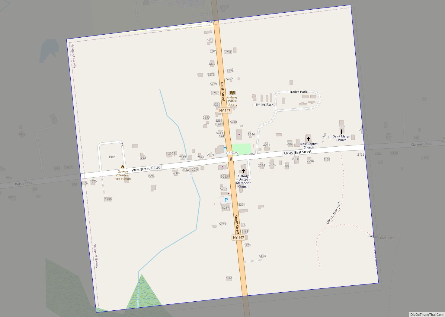
Galway is a village in the town of Galway in Saratoga County, New York, United States. The population was 200 at the 2010 census. The village is north of Schenectady. Galway Lake, a vacation area, is west of the village.
| Name: | Galway village |
|---|---|
| LSAD Code: | 47 |
| LSAD Description: | village (suffix) |
| State: | New York |
| County: | Saratoga County |
| Incorporated: | 1838 |
| Elevation: | 830 ft (253 m) |
| Total Area: | 0.26 sq mi (0.66 km²) |
| Land Area: | 0.26 sq mi (0.66 km²) |
| Water Area: | 0.00 sq mi (0.00 km²) |
| Total Population: | 165 |
| Population Density: | 644.53/sq mi (248.88/km²) |
| ZIP code: | 12074 |
| Area code: | 518 |
| FIPS code: | 3628101 |
| GNISfeature ID: | 0950865 |
Online Interactive Map
Click on ![]() to view map in "full screen" mode.
to view map in "full screen" mode.
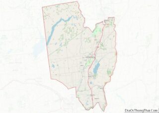
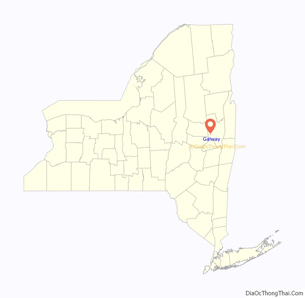
Galway location map. Where is Galway village?

History
The first settlers in the town established themselves south of Galway village.
In 1838, the village of Galway was incorporated. The charter was amended in 1869.
Galway Road Map
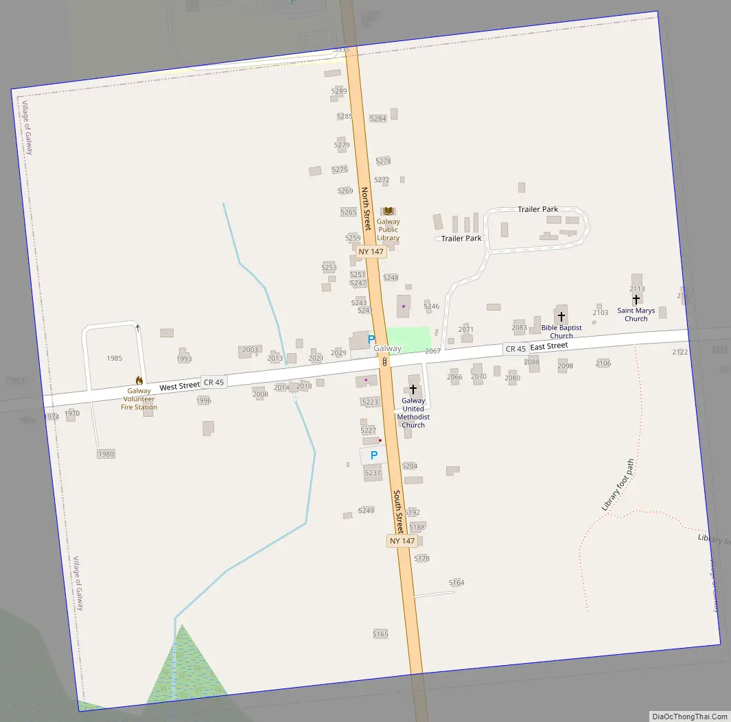
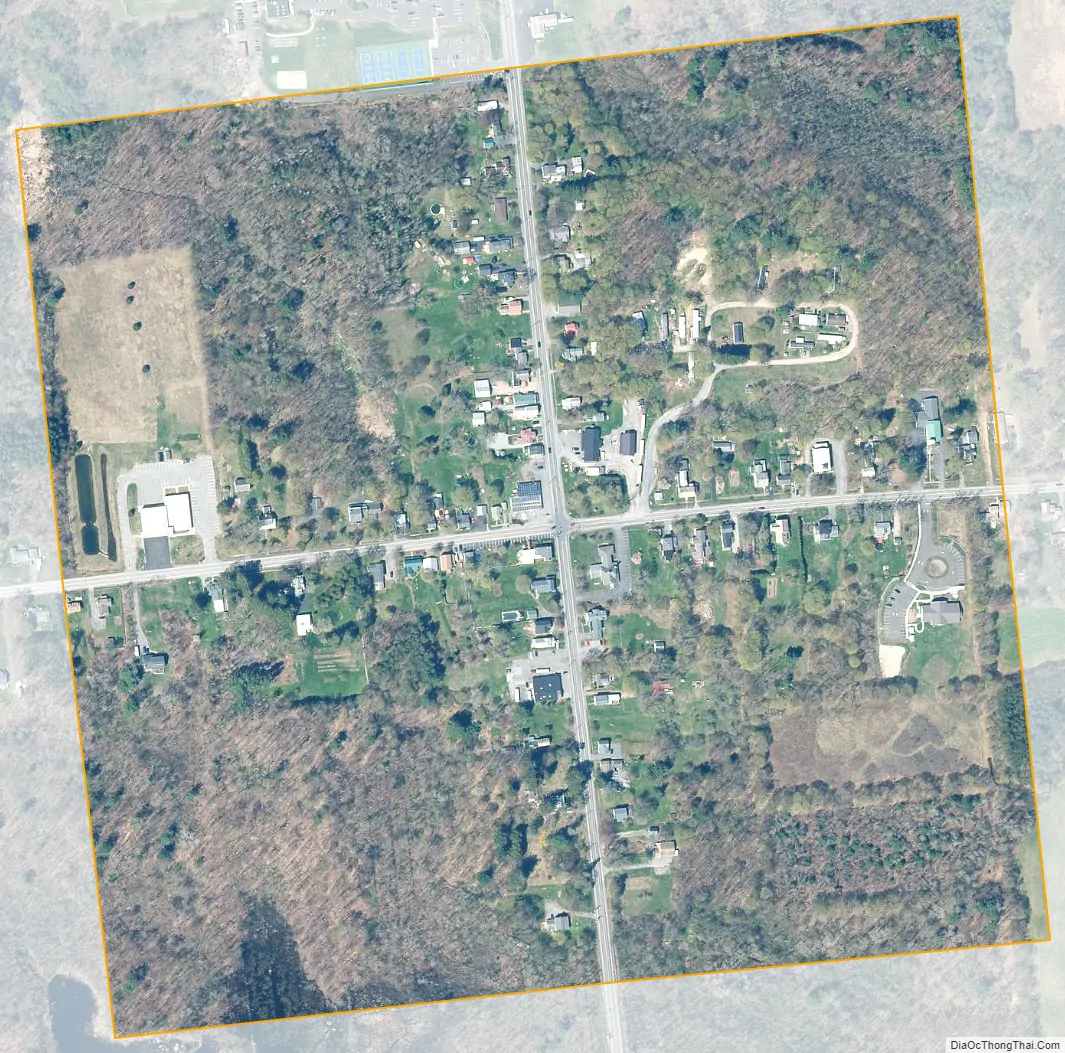
Galway city Satellite Map
Geography
According to the United States Census Bureau, the village has a total area of 0.3 square mile (0.7 km), all land.
Galway is at the junction of County Road 45 (East Street/West Street) and New York State Route 147 (North Street/South Street) in the central part of the town.
See also
Map of New York State and its subdivision:- Albany
- Allegany
- Bronx
- Broome
- Cattaraugus
- Cayuga
- Chautauqua
- Chemung
- Chenango
- Clinton
- Columbia
- Cortland
- Delaware
- Dutchess
- Erie
- Essex
- Franklin
- Fulton
- Genesee
- Greene
- Hamilton
- Herkimer
- Jefferson
- Kings
- Lake Ontario
- Lewis
- Livingston
- Madison
- Monroe
- Montgomery
- Nassau
- New York
- Niagara
- Oneida
- Onondaga
- Ontario
- Orange
- Orleans
- Oswego
- Otsego
- Putnam
- Queens
- Rensselaer
- Richmond
- Rockland
- Saint Lawrence
- Saratoga
- Schenectady
- Schoharie
- Schuyler
- Seneca
- Steuben
- Suffolk
- Sullivan
- Tioga
- Tompkins
- Ulster
- Warren
- Washington
- Wayne
- Westchester
- Wyoming
- Yates
- Alabama
- Alaska
- Arizona
- Arkansas
- California
- Colorado
- Connecticut
- Delaware
- District of Columbia
- Florida
- Georgia
- Hawaii
- Idaho
- Illinois
- Indiana
- Iowa
- Kansas
- Kentucky
- Louisiana
- Maine
- Maryland
- Massachusetts
- Michigan
- Minnesota
- Mississippi
- Missouri
- Montana
- Nebraska
- Nevada
- New Hampshire
- New Jersey
- New Mexico
- New York
- North Carolina
- North Dakota
- Ohio
- Oklahoma
- Oregon
- Pennsylvania
- Rhode Island
- South Carolina
- South Dakota
- Tennessee
- Texas
- Utah
- Vermont
- Virginia
- Washington
- West Virginia
- Wisconsin
- Wyoming