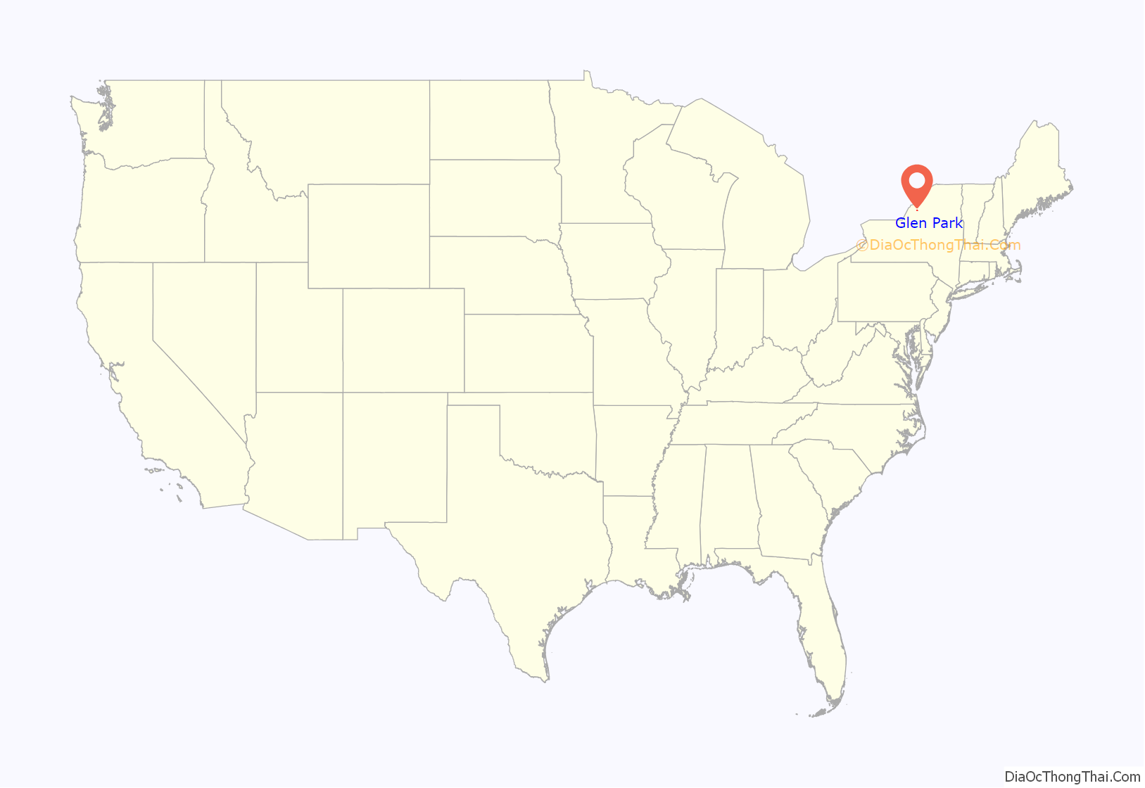
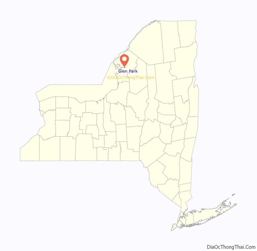
Glen Park is a village in Jefferson County, New York, United States. The population was 502 at the 2010 census. The village is on the border of the towns of Brownville and Pamelia and is immediately northwest of Watertown.
| Name: | Glen Park village |
|---|---|
| LSAD Code: | 47 |
| LSAD Description: | village (suffix) |
| State: | New York |
| County: | Jefferson County |
| Elevation: | 341 ft (104 m) |
| Total Area: | 0.75 sq mi (1.95 km²) |
| Land Area: | 0.71 sq mi (1.85 km²) |
| Water Area: | 0.04 sq mi (0.10 km²) |
| Total Population: | 452 |
| Population Density: | 633.05/sq mi (244.38/km²) |
| ZIP code: | 13601 |
| Area code: | 315 |
| FIPS code: | 3629322 |
| GNISfeature ID: | 0970168 |
Online Interactive Map
Click on ![]() to view map in "full screen" mode.
to view map in "full screen" mode.
Glen Park location map. Where is Glen Park village?
History
The village was built up around the Remington Paper Company and incorporated in 1893.
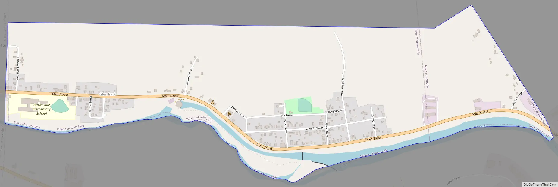
Glen Park Road Map
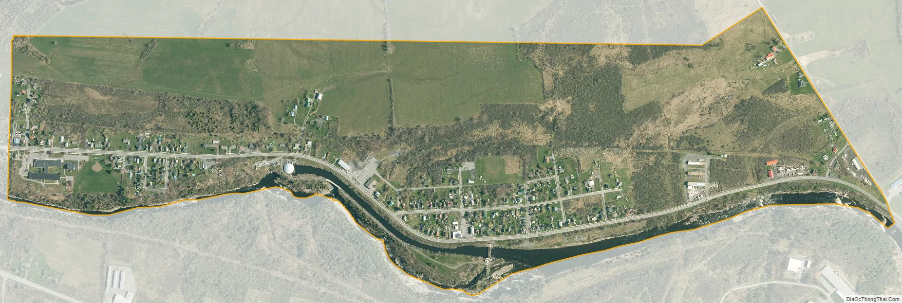
Glen Park city Satellite Map
Geography
Glen Park is located in central Jefferson County at 43°59′56″N 75°57′8″W / 43.99889°N 75.95222°W / 43.99889; -75.95222 (43.998895, -75.952235). The majority of the village is in the southeastern corner of the town of Brownville, with a small portion extending east into the town of Pamelia. The village is bordered to the west by the village of Brownville and to the south by the Black River, which forms the border with the town of Watertown.
According to the United States Census Bureau, Glen Park has a total area of 0.73 square miles (1.9 km), of which 0.02 square miles (0.06 km), or 3.30%, are water.
County Route 190, sometimes shown on maps as New York State Route 12E, is the main road through Glen Park. It leads southeast (upstream along the Black River) 3.8 miles (6.1 km) to the center of Watertown and west 0.7 miles (1.1 km) to NY-12E in Brownville village.
See also
Map of New York State and its subdivision:- Albany
- Allegany
- Bronx
- Broome
- Cattaraugus
- Cayuga
- Chautauqua
- Chemung
- Chenango
- Clinton
- Columbia
- Cortland
- Delaware
- Dutchess
- Erie
- Essex
- Franklin
- Fulton
- Genesee
- Greene
- Hamilton
- Herkimer
- Jefferson
- Kings
- Lake Ontario
- Lewis
- Livingston
- Madison
- Monroe
- Montgomery
- Nassau
- New York
- Niagara
- Oneida
- Onondaga
- Ontario
- Orange
- Orleans
- Oswego
- Otsego
- Putnam
- Queens
- Rensselaer
- Richmond
- Rockland
- Saint Lawrence
- Saratoga
- Schenectady
- Schoharie
- Schuyler
- Seneca
- Steuben
- Suffolk
- Sullivan
- Tioga
- Tompkins
- Ulster
- Warren
- Washington
- Wayne
- Westchester
- Wyoming
- Yates
- Alabama
- Alaska
- Arizona
- Arkansas
- California
- Colorado
- Connecticut
- Delaware
- District of Columbia
- Florida
- Georgia
- Hawaii
- Idaho
- Illinois
- Indiana
- Iowa
- Kansas
- Kentucky
- Louisiana
- Maine
- Maryland
- Massachusetts
- Michigan
- Minnesota
- Mississippi
- Missouri
- Montana
- Nebraska
- Nevada
- New Hampshire
- New Jersey
- New Mexico
- New York
- North Carolina
- North Dakota
- Ohio
- Oklahoma
- Oregon
- Pennsylvania
- Rhode Island
- South Carolina
- South Dakota
- Tennessee
- Texas
- Utah
- Vermont
- Virginia
- Washington
- West Virginia
- Wisconsin
- Wyoming


