Great Neck is a village in the town of North Hempstead in Nassau County, on the North Shore of Long Island, in New York, United States. The population was 9,989 at the 2010 census.
The term Great Neck is also commonly applied to the entire peninsula on the north shore and an area extending south to and including Lake Success. The larger Great Neck area comprises a residential community of some 40,000 people made up of nine villages as well as hamlets of North Hempstead, and to distinguish the Village of Great Neck from the other villages in the Greater Great Neck area, it is sometimes referred to as “the old village”.
| Name: | Great Neck village |
|---|---|
| LSAD Code: | 47 |
| LSAD Description: | village (suffix) |
| State: | New York |
| County: | Nassau County |
| Incorporated: | 1922 |
| Elevation: | 108 ft (33 m) |
| Total Area: | 1.35 sq mi (3.50 km²) |
| Land Area: | 1.32 sq mi (3.43 km²) |
| Water Area: | 0.03 sq mi (0.07 km²) 0% |
| Total Population: | 11,145 |
| Population Density: | 8,417.67/sq mi (3,249.19/km²) |
| ZIP code: | 11020–11027 |
| Area code: | 516 |
| FIPS code: | 3630169 |
| GNISfeature ID: | 0951636 |
| Website: | greatneckvillage.org |
Online Interactive Map
Click on ![]() to view map in "full screen" mode.
to view map in "full screen" mode.
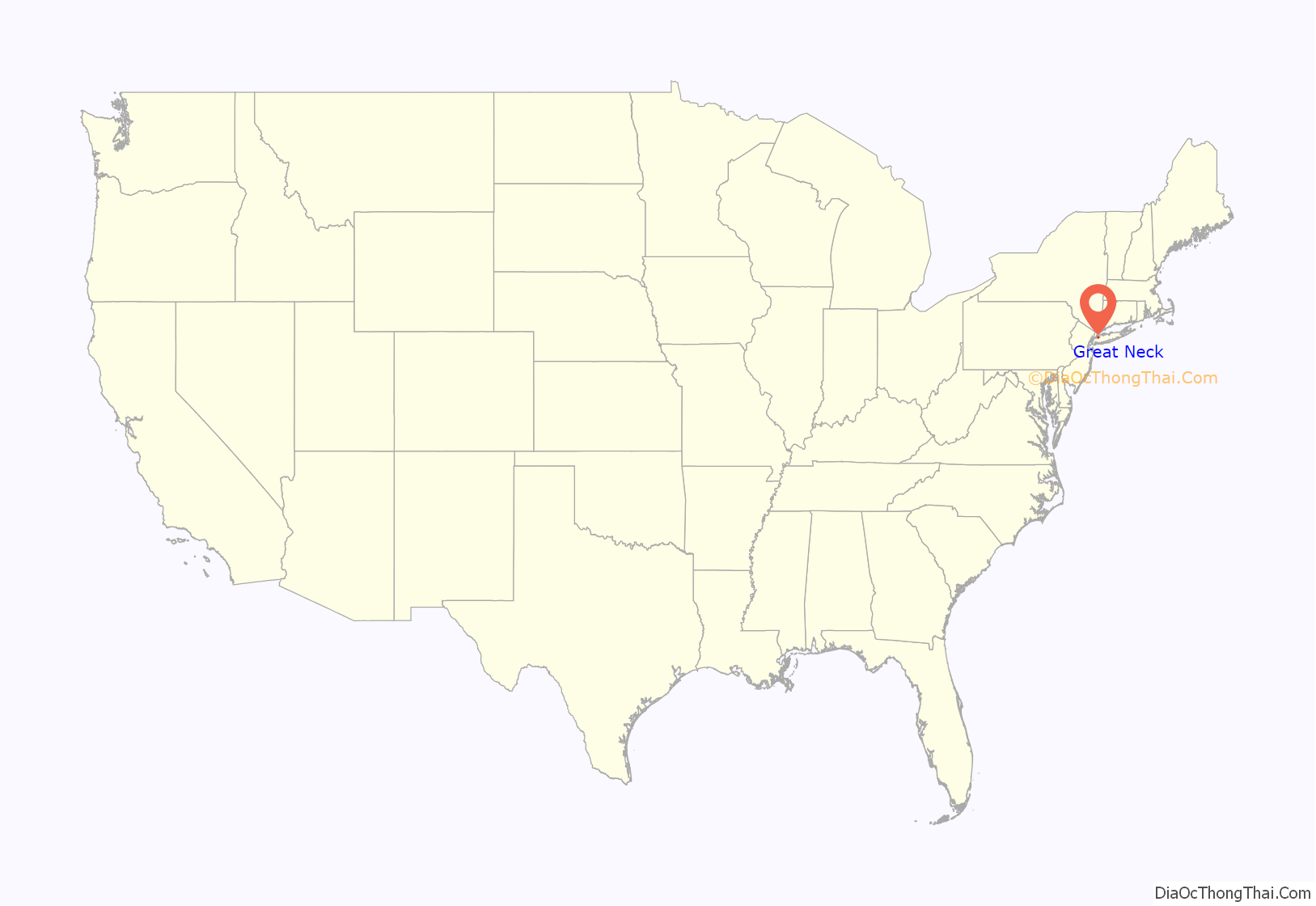
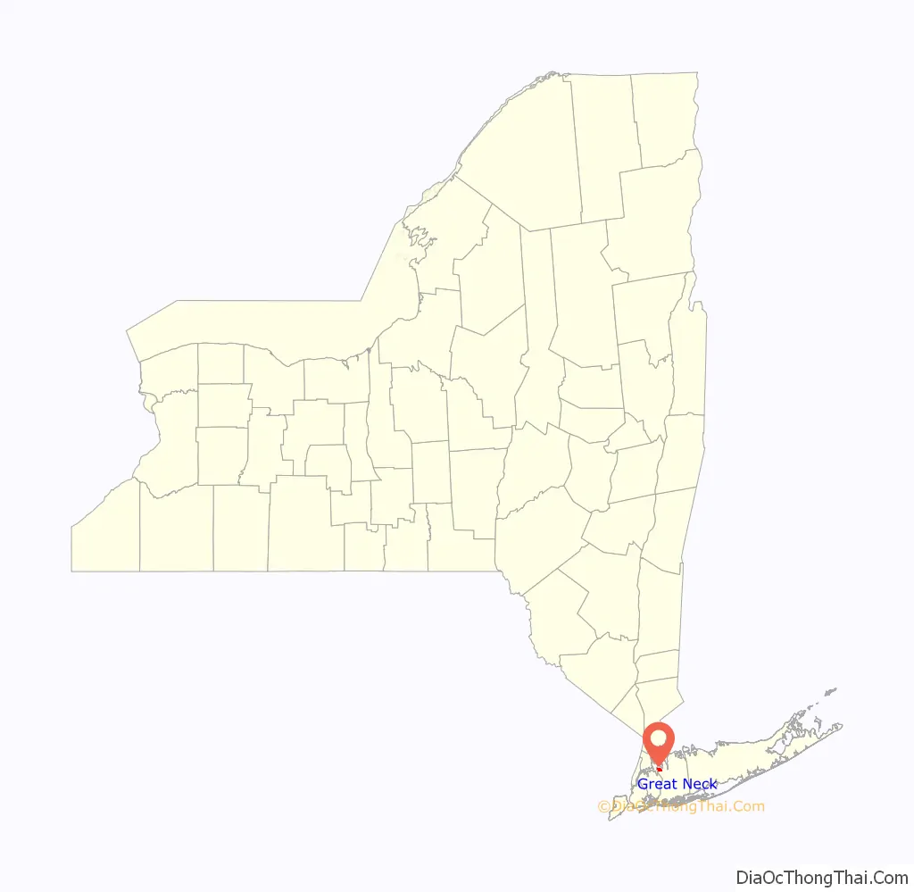
Great Neck location map. Where is Great Neck village?
History
The Village of Great Neck incorporated as a village in 1922.
On August 9, 2022, Great Neck Village Hall was struck by lightning, which led to a fire breaking out and causing severe damage to parts of the building. Shortly afterwards, the Village announced its intentions to restore the structure, which was originally constructed in 1833.
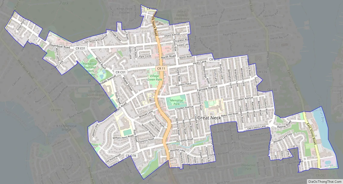
Great Neck Road Map
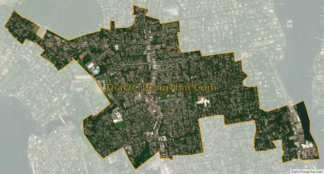
Great Neck city Satellite Map
Geography
According to the United States Census Bureau, the village has a total area of 1.4 square miles (3.6 km), of which 0.04 square miles (0.10 km), or 1.46%, is water.
See also
Map of New York State and its subdivision:- Albany
- Allegany
- Bronx
- Broome
- Cattaraugus
- Cayuga
- Chautauqua
- Chemung
- Chenango
- Clinton
- Columbia
- Cortland
- Delaware
- Dutchess
- Erie
- Essex
- Franklin
- Fulton
- Genesee
- Greene
- Hamilton
- Herkimer
- Jefferson
- Kings
- Lake Ontario
- Lewis
- Livingston
- Madison
- Monroe
- Montgomery
- Nassau
- New York
- Niagara
- Oneida
- Onondaga
- Ontario
- Orange
- Orleans
- Oswego
- Otsego
- Putnam
- Queens
- Rensselaer
- Richmond
- Rockland
- Saint Lawrence
- Saratoga
- Schenectady
- Schoharie
- Schuyler
- Seneca
- Steuben
- Suffolk
- Sullivan
- Tioga
- Tompkins
- Ulster
- Warren
- Washington
- Wayne
- Westchester
- Wyoming
- Yates
- Alabama
- Alaska
- Arizona
- Arkansas
- California
- Colorado
- Connecticut
- Delaware
- District of Columbia
- Florida
- Georgia
- Hawaii
- Idaho
- Illinois
- Indiana
- Iowa
- Kansas
- Kentucky
- Louisiana
- Maine
- Maryland
- Massachusetts
- Michigan
- Minnesota
- Mississippi
- Missouri
- Montana
- Nebraska
- Nevada
- New Hampshire
- New Jersey
- New Mexico
- New York
- North Carolina
- North Dakota
- Ohio
- Oklahoma
- Oregon
- Pennsylvania
- Rhode Island
- South Carolina
- South Dakota
- Tennessee
- Texas
- Utah
- Vermont
- Virginia
- Washington
- West Virginia
- Wisconsin
- Wyoming


