Lake Success is a village in the Town of North Hempstead in Nassau County, on the North Shore of Long Island, in New York. The population was 2,828 at the 2020 census.
The Incorporated Village of Lake Success was the temporary home of the United Nations from 1946 to 1951, occupying the headquarters of the Sperry Gyroscope Company on Marcus Avenue. It is also the former home of Canon U.S.A., Inc. before it moved its corporate headquarters to Melville (in neighboring Suffolk County) in the early 21st century.
| Name: | Lake Success village |
|---|---|
| LSAD Code: | 47 |
| LSAD Description: | village (suffix) |
| State: | New York |
| County: | Nassau County |
| Incorporated: | December 1927 |
| Elevation: | 203 ft (62 m) |
| Total Area: | 1.90 sq mi (4.92 km²) |
| Land Area: | 1.85 sq mi (4.79 km²) |
| Water Area: | 0.05 sq mi (0.13 km²) |
| Total Population: | 2,828 |
| Population Density: | 1,528.65/sq mi (590.06/km²) |
| ZIP code: | 11020, 11042 |
| Area code: | 516 |
| FIPS code: | 3640937 |
| GNISfeature ID: | 0954942 |
| Website: | www.villageoflakesuccess.com |
Online Interactive Map
Click on ![]() to view map in "full screen" mode.
to view map in "full screen" mode.
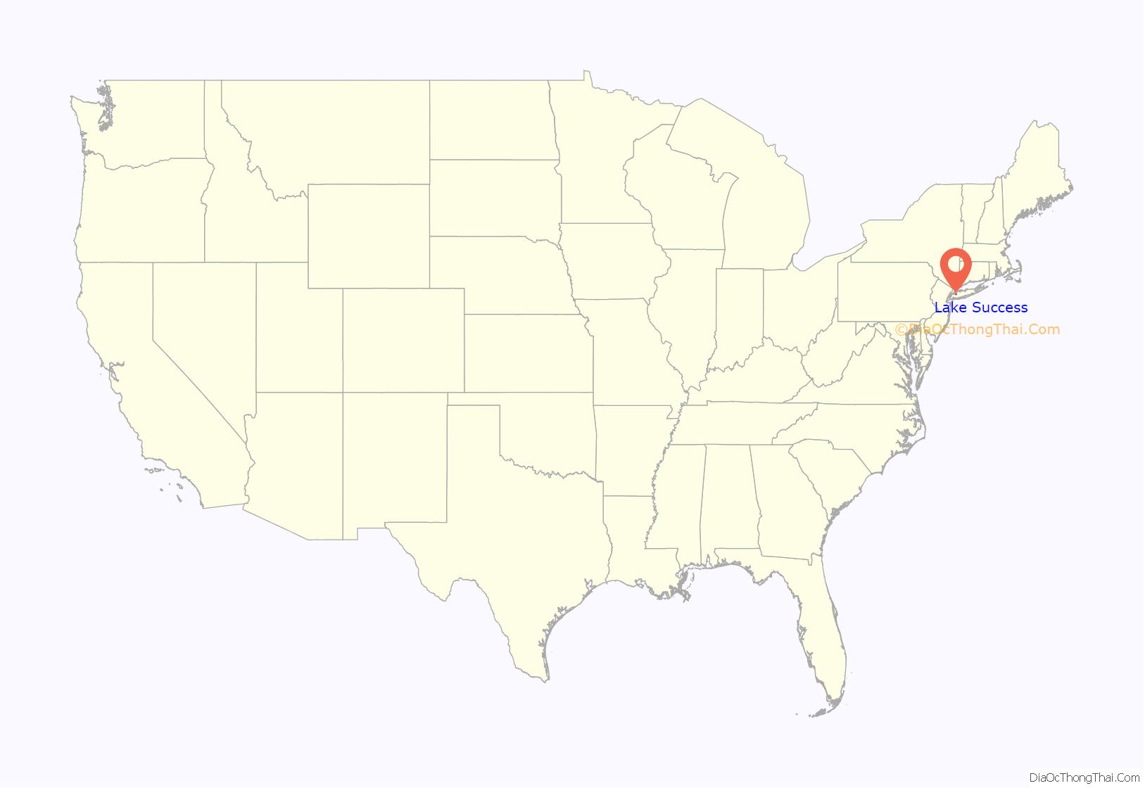
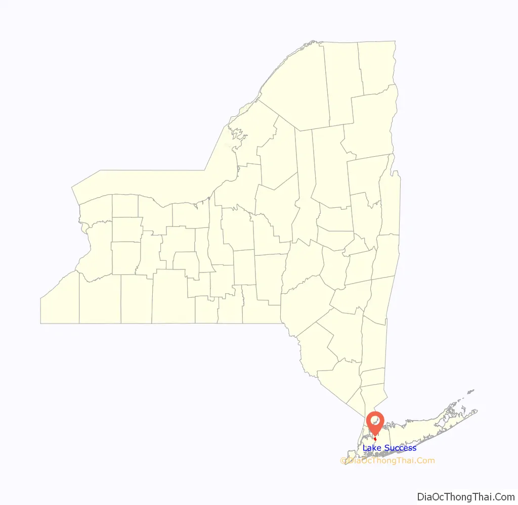
Lake Success location map. Where is Lake Success village?
History
Lake Success derives its name from a kettle lake of the same name which according to village lore had a Native American name of “Sucut.” William K. Vanderbilt II bought land around the lake in the early 20th century for a home. The village was incorporated in 1927.
In 1939, the United States government bought a large tract between Marcus Avenue, Lakeville Road and Union Turnpike, to be the home to the Sperry Gyroscope Company which built a variety of maritime, military, aerospace and navigation products. During World War II the plant had 22,000 employees. After the war, part of the plant became the temporary headquarters of the United Nations from 1947 to 1952, while its headquarters building in New York City was being built. The 1,500,000-square-foot (140,000 m) facility continued to be used by various companies (including Unisys and Loral Corporation) to build defense products over ensuing decades. It was purchased by Lockheed Martin in 1996. The company closed the plant in 1998 and began an environmental clean-up of the site overseen by the New York State Department of Environmental Conservation. The building became I-Park, and a few technical companies moved it, but much of the space was unused. In 2005, Northwell Health leased 454,000 square feet of the 1.4-million-square-foot former defense plant, and is valued at about $300 million and comes with an option to buy.
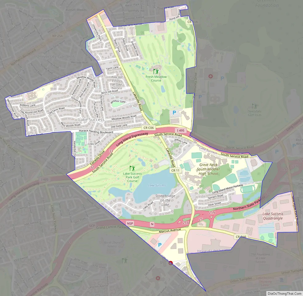
Lake Success Road Map
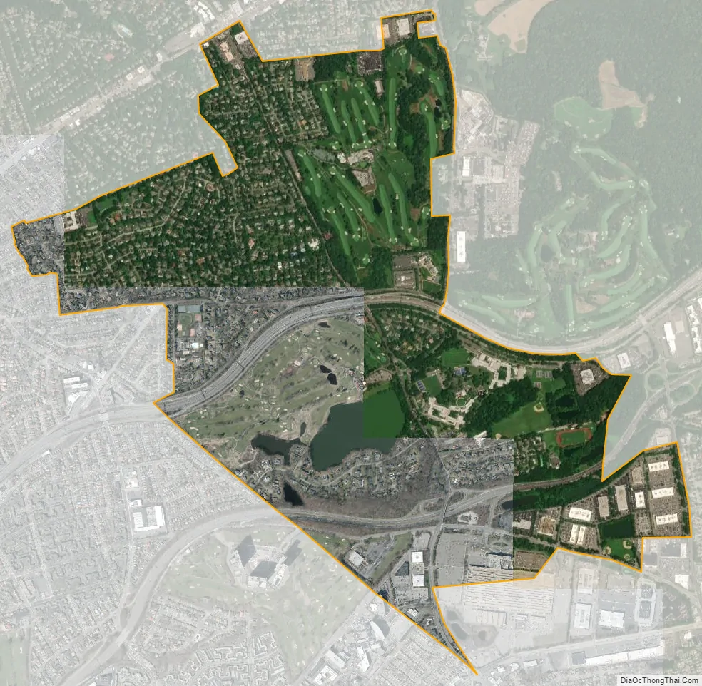
Lake Success city Satellite Map
Geography
According to the United States Census Bureau, the village has a total area of 1.9 square miles (4.9 km), of which 1.9 square miles (4.9 km) is land and 0.04 square miles (0.10 km) (2.08%) is water.
Lake Success is split between three minor drainage areas: Alley Creek (part of the Little Neck Bay Watershed), Hook Creek/Head of Harbor, and Manhasset Bay, and is located within the larger Long Island Sound/Atlantic Ocean Watershed.
According to the United States Environmental Protection Agency and the United States Geological Survey, the highest point in Lake Success is located at Great Neck South High School, at 259 feet (79 m), and the lowest point is located near Community Drive, which is between 40–50 feet (12–15 m).
The village borders the Little Neck neighborhood in the New York City borough of Queens.
See also
Map of New York State and its subdivision:- Albany
- Allegany
- Bronx
- Broome
- Cattaraugus
- Cayuga
- Chautauqua
- Chemung
- Chenango
- Clinton
- Columbia
- Cortland
- Delaware
- Dutchess
- Erie
- Essex
- Franklin
- Fulton
- Genesee
- Greene
- Hamilton
- Herkimer
- Jefferson
- Kings
- Lake Ontario
- Lewis
- Livingston
- Madison
- Monroe
- Montgomery
- Nassau
- New York
- Niagara
- Oneida
- Onondaga
- Ontario
- Orange
- Orleans
- Oswego
- Otsego
- Putnam
- Queens
- Rensselaer
- Richmond
- Rockland
- Saint Lawrence
- Saratoga
- Schenectady
- Schoharie
- Schuyler
- Seneca
- Steuben
- Suffolk
- Sullivan
- Tioga
- Tompkins
- Ulster
- Warren
- Washington
- Wayne
- Westchester
- Wyoming
- Yates
- Alabama
- Alaska
- Arizona
- Arkansas
- California
- Colorado
- Connecticut
- Delaware
- District of Columbia
- Florida
- Georgia
- Hawaii
- Idaho
- Illinois
- Indiana
- Iowa
- Kansas
- Kentucky
- Louisiana
- Maine
- Maryland
- Massachusetts
- Michigan
- Minnesota
- Mississippi
- Missouri
- Montana
- Nebraska
- Nevada
- New Hampshire
- New Jersey
- New Mexico
- New York
- North Carolina
- North Dakota
- Ohio
- Oklahoma
- Oregon
- Pennsylvania
- Rhode Island
- South Carolina
- South Dakota
- Tennessee
- Texas
- Utah
- Vermont
- Virginia
- Washington
- West Virginia
- Wisconsin
- Wyoming


