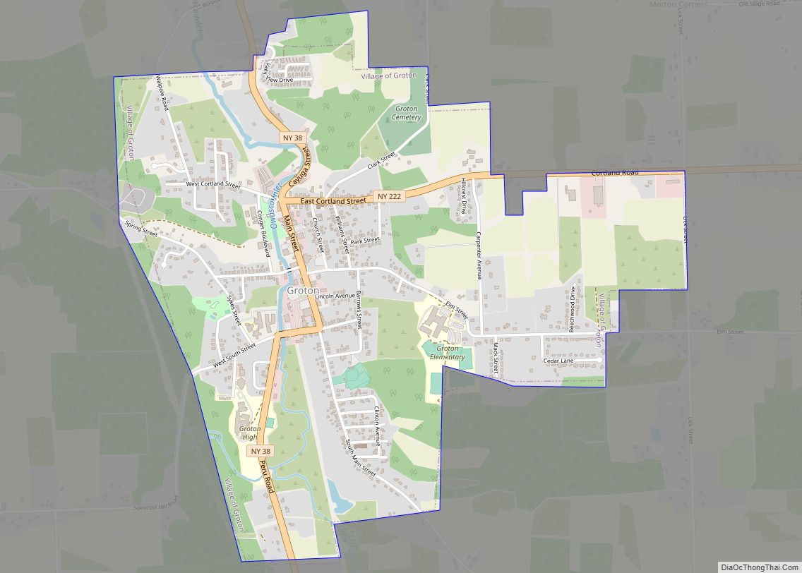
Groton is a village in Tompkins County, New York, United States. The population was 2,363 at the 2010 census.
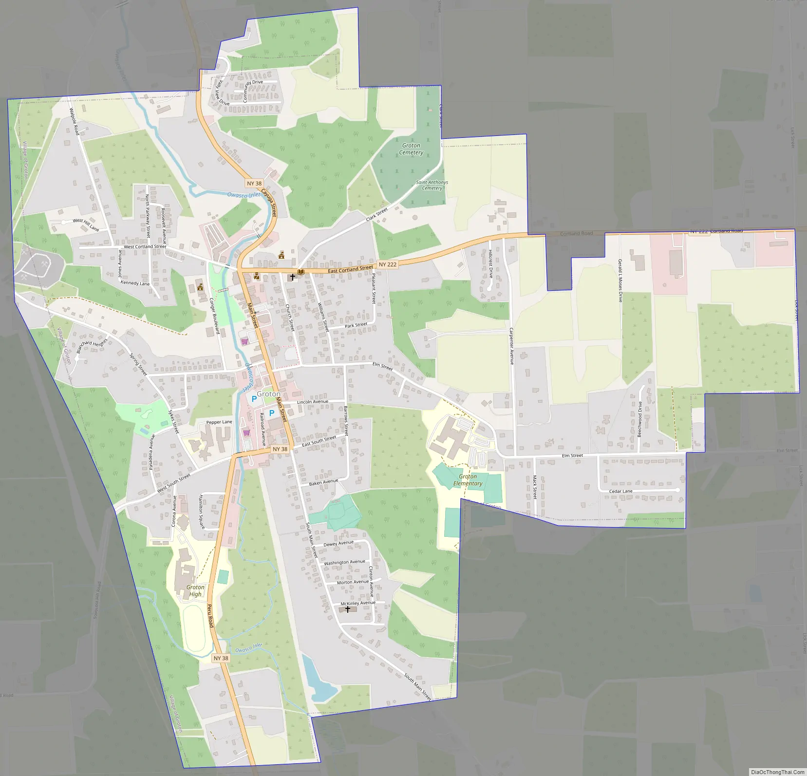
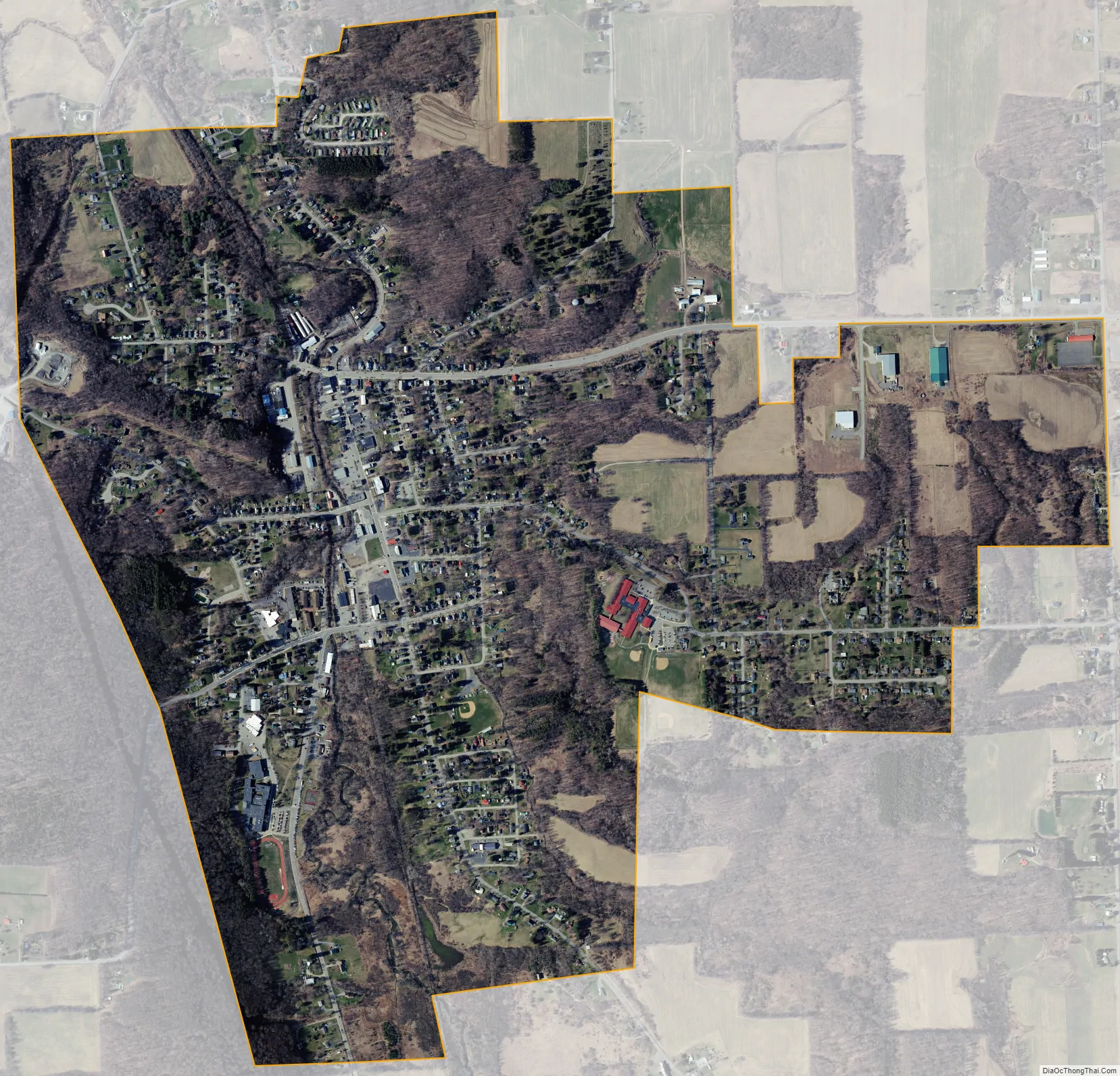
The Village of Groton is near the center of the Town of Groton and is northeast of Ithaca and west of Cortland.
| Name: | Groton village |
|---|---|
| LSAD Code: | 47 |
| LSAD Description: | village (suffix) |
| State: | New York |
| County: | Tompkins County |
| Incorporated: | June 11, 1860 (1860-06-11) |
| Elevation: | 997 ft (304 m) |
| Total Area: | 1.74 sq mi (4.50 km²) |
| Land Area: | 1.74 sq mi (4.50 km²) |
| Water Area: | 0.00 sq mi (0.00 km²) |
| Total Population: | 2,145 |
| Population Density: | 1,234.89/sq mi (476.67/km²) |
| ZIP code: | 13073 |
| Area code: | 607 |
| FIPS code: | 3630961 |
| GNISfeature ID: | 0951849 |
| Website: | www.grotonny.org/village |
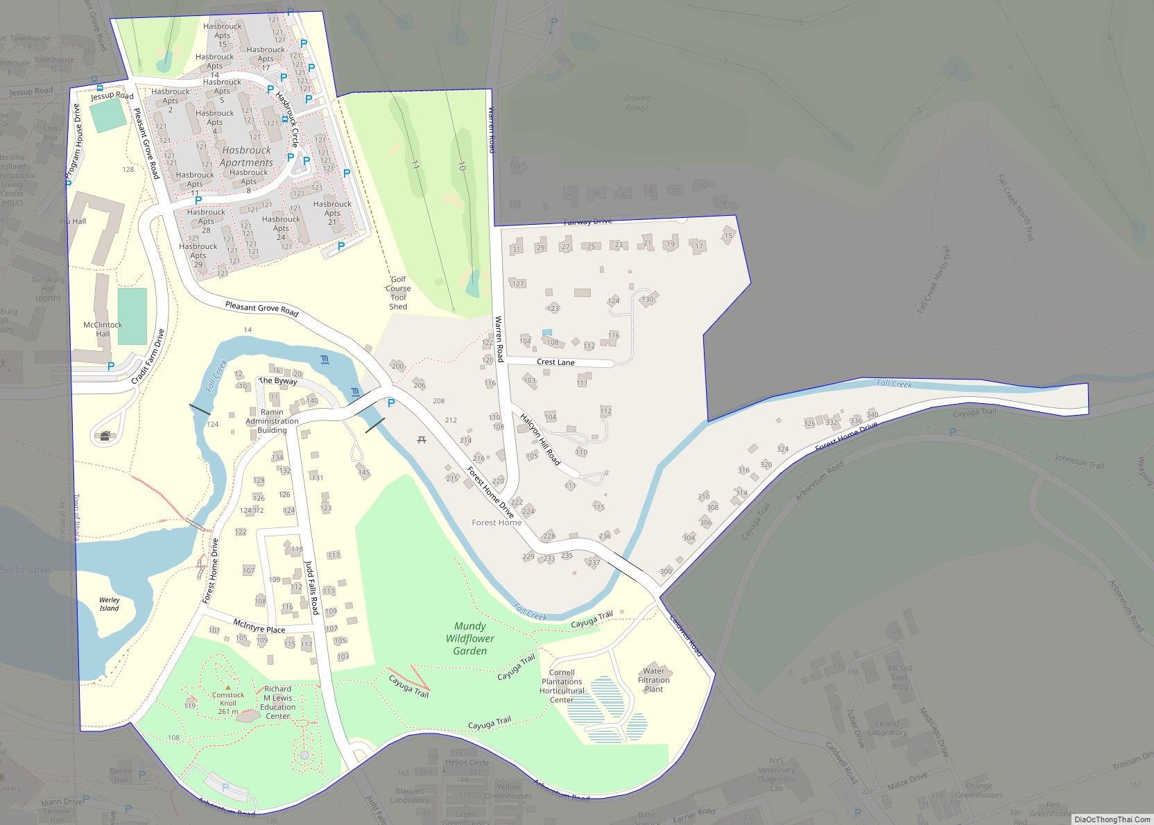
Online Interactive Map
Click on ![]() to view map in "full screen" mode.
to view map in "full screen" mode.
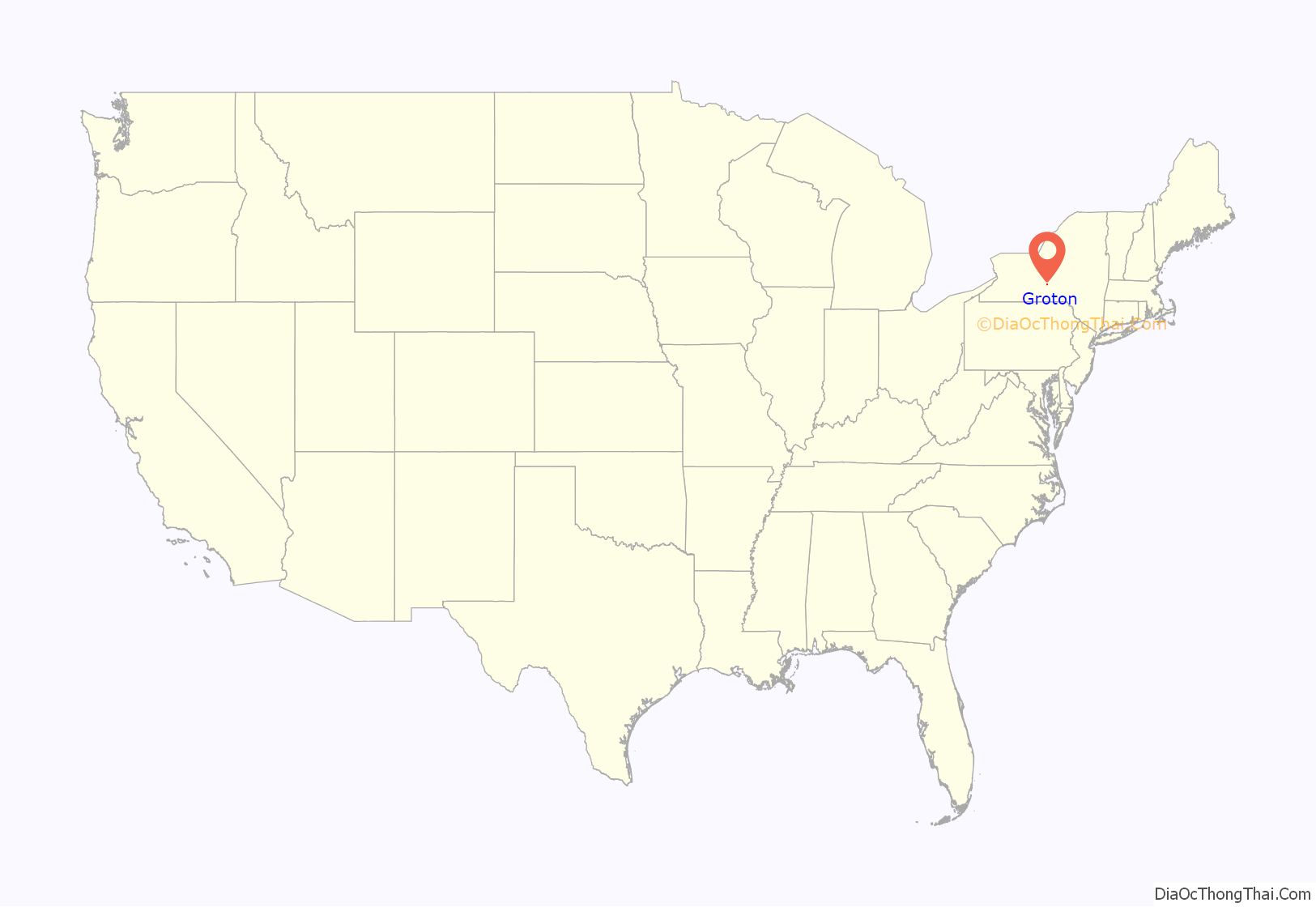
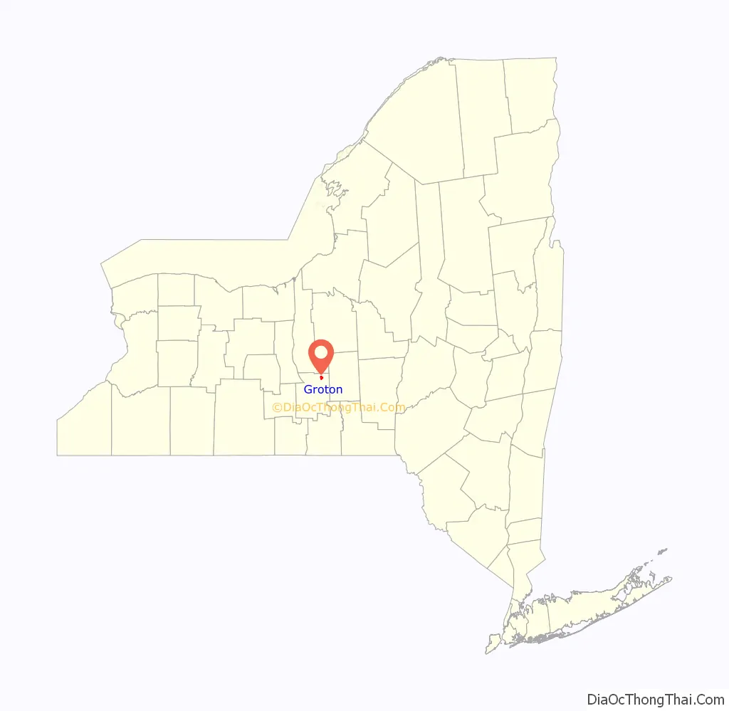
Groton location map. Where is Groton village?
History
The village lies within the former Central New York Military Tract and was first settled by outsiders around 1795. Before then, the only purpose of the land surrounding Groton was to host the winding trails of the Native Americans that once lived in central New York. Also, they used the Owasco Inlet as a water source for their people and possibly for transportation, though it is very shallow at some points. The village was within Cayuga County until Tompkins County was formed in 1817.
The Village of Groton was incorporated in 1860.
The village was served by the Southern Central Railroad and then later by the Lehigh Valley Railroad after the former was incorporated into the latter’s system.
The Groton Historical Association Museum, at 172 Main Street, occupies a former Baptist meetinghouse.
The Groton High School was listed on the National Register of Historic Places in 1992. Students now attend Groton Junior/Senior High School.
Groton Road Map
Groton city Satellite Map
Geography
Groton is located at 42°35′12″N 76°21′53″W / 42.58667°N 76.36472°W / 42.58667; -76.36472 (42.586922, -76.364908).
According to the United States Census Bureau, the village has a total area of 1.7 square miles (4.5 km). None of the area is covered with water.
New York State Route 38 intersects New York State Route 222 in the village.
See also
Map of New York State and its subdivision:- Albany
- Allegany
- Bronx
- Broome
- Cattaraugus
- Cayuga
- Chautauqua
- Chemung
- Chenango
- Clinton
- Columbia
- Cortland
- Delaware
- Dutchess
- Erie
- Essex
- Franklin
- Fulton
- Genesee
- Greene
- Hamilton
- Herkimer
- Jefferson
- Kings
- Lake Ontario
- Lewis
- Livingston
- Madison
- Monroe
- Montgomery
- Nassau
- New York
- Niagara
- Oneida
- Onondaga
- Ontario
- Orange
- Orleans
- Oswego
- Otsego
- Putnam
- Queens
- Rensselaer
- Richmond
- Rockland
- Saint Lawrence
- Saratoga
- Schenectady
- Schoharie
- Schuyler
- Seneca
- Steuben
- Suffolk
- Sullivan
- Tioga
- Tompkins
- Ulster
- Warren
- Washington
- Wayne
- Westchester
- Wyoming
- Yates
- Alabama
- Alaska
- Arizona
- Arkansas
- California
- Colorado
- Connecticut
- Delaware
- District of Columbia
- Florida
- Georgia
- Hawaii
- Idaho
- Illinois
- Indiana
- Iowa
- Kansas
- Kentucky
- Louisiana
- Maine
- Maryland
- Massachusetts
- Michigan
- Minnesota
- Mississippi
- Missouri
- Montana
- Nebraska
- Nevada
- New Hampshire
- New Jersey
- New Mexico
- New York
- North Carolina
- North Dakota
- Ohio
- Oklahoma
- Oregon
- Pennsylvania
- Rhode Island
- South Carolina
- South Dakota
- Tennessee
- Texas
- Utah
- Vermont
- Virginia
- Washington
- West Virginia
- Wisconsin
- Wyoming