Guilford is a census-designated place (CDP) in Chenango County, New York, United States. The population was 362 at the 2010 census. It is located in the town of Guilford.
| Name: | Guilford CDP |
|---|---|
| LSAD Code: | 57 |
| LSAD Description: | CDP (suffix) |
| State: | New York |
| County: | Chenango County |
| Elevation: | 1,513 ft (461 m) |
| Total Area: | 1.45 sq mi (3.77 km²) |
| Land Area: | 1.34 sq mi (3.46 km²) |
| Water Area: | 0.12 sq mi (0.31 km²) |
| Total Population: | 322 |
| Population Density: | 241.02/sq mi (93.07/km²) |
| ZIP code: | 13780 |
| Area code: | 607 |
| FIPS code: | 3631137 |
| GNISfeature ID: | 0951905 |
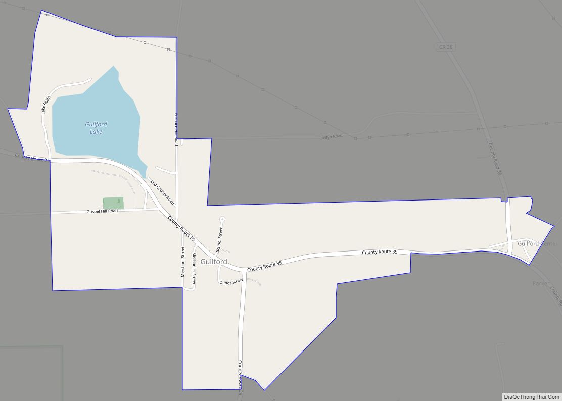
Online Interactive Map
Click on ![]() to view map in "full screen" mode.
to view map in "full screen" mode.
Guilford location map. Where is Guilford CDP?
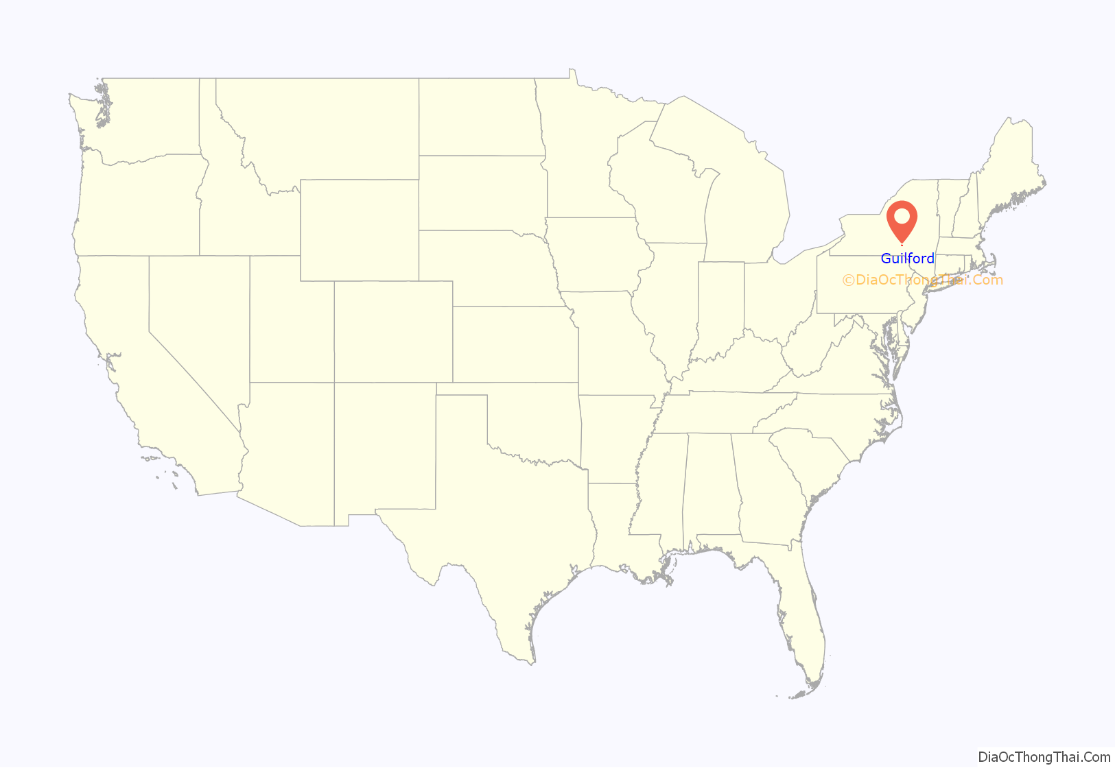
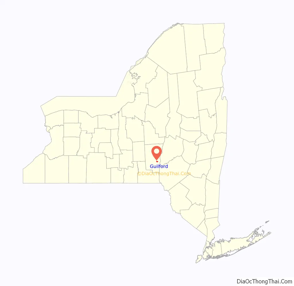
Guilford Road Map
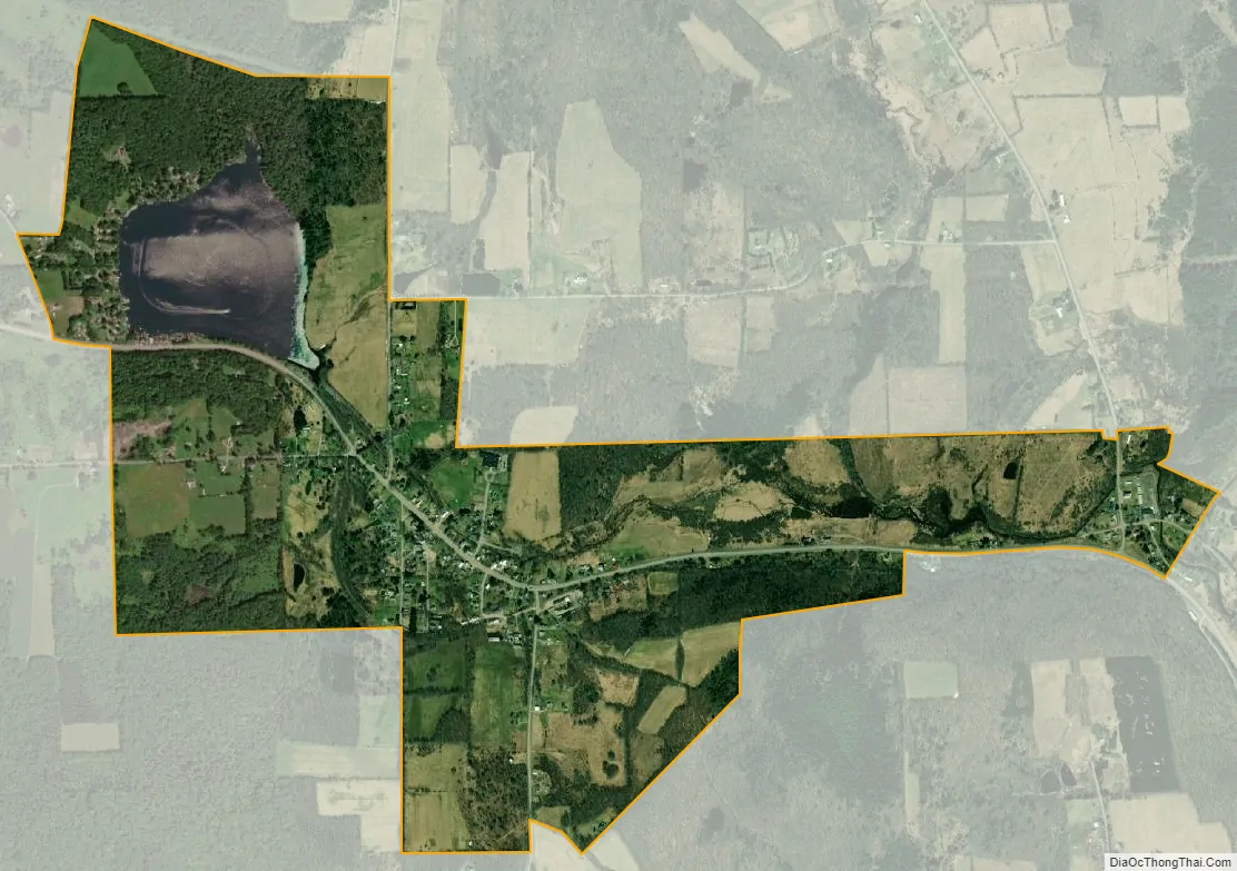
Guilford city Satellite Map
Geography
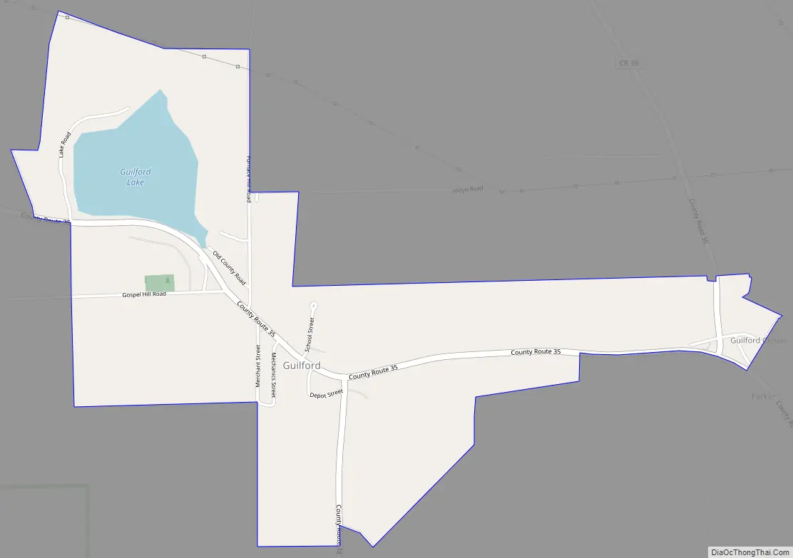
The Guilford CDP comprises the hamlets of Guilford and Guilford Center in the west-central part of the town of Guilford. It is located on County Road 35, which leads northwest 7 miles (11 km) to Oxford and southeast 10 miles (16 km) to Sidney.
According to the United States Census Bureau, the Guilford CDP has a total area of 1.5 square miles (3.8 km), of which 1.4 square miles (3.5 km) is land and 0.1 square miles (0.3 km), or 8.12%, is water. Guilford Lake occupies the northwestern end of the CDP and drains to the east via Guilford Creek, which passes through both Guilford and Guilford Center on its way southeast to the Unadilla River.
See also
Map of New York State and its subdivision:- Albany
- Allegany
- Bronx
- Broome
- Cattaraugus
- Cayuga
- Chautauqua
- Chemung
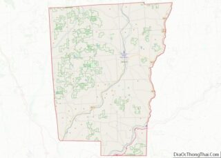
- Chenango
- Clinton
- Columbia
- Cortland
- Delaware
- Dutchess
- Erie
- Essex
- Franklin
- Fulton
- Genesee
- Greene
- Hamilton
- Herkimer
- Jefferson
- Kings
- Lake Ontario
- Lewis
- Livingston
- Madison
- Monroe
- Montgomery
- Nassau
- New York
- Niagara
- Oneida
- Onondaga
- Ontario
- Orange
- Orleans
- Oswego
- Otsego
- Putnam
- Queens
- Rensselaer
- Richmond
- Rockland
- Saint Lawrence
- Saratoga
- Schenectady
- Schoharie
- Schuyler
- Seneca
- Steuben
- Suffolk
- Sullivan
- Tioga
- Tompkins
- Ulster
- Warren
- Washington
- Wayne
- Westchester
- Wyoming
- Yates
- Alabama
- Alaska
- Arizona
- Arkansas
- California
- Colorado
- Connecticut
- Delaware
- District of Columbia
- Florida
- Georgia
- Hawaii
- Idaho
- Illinois
- Indiana
- Iowa
- Kansas
- Kentucky
- Louisiana
- Maine
- Maryland
- Massachusetts
- Michigan
- Minnesota
- Mississippi
- Missouri
- Montana
- Nebraska
- Nevada
- New Hampshire
- New Jersey
- New Mexico
- New York
- North Carolina
- North Dakota
- Ohio
- Oklahoma
- Oregon
- Pennsylvania
- Rhode Island
- South Carolina
- South Dakota
- Tennessee
- Texas
- Utah
- Vermont
- Virginia
- Washington
- West Virginia
- Wisconsin
- Wyoming