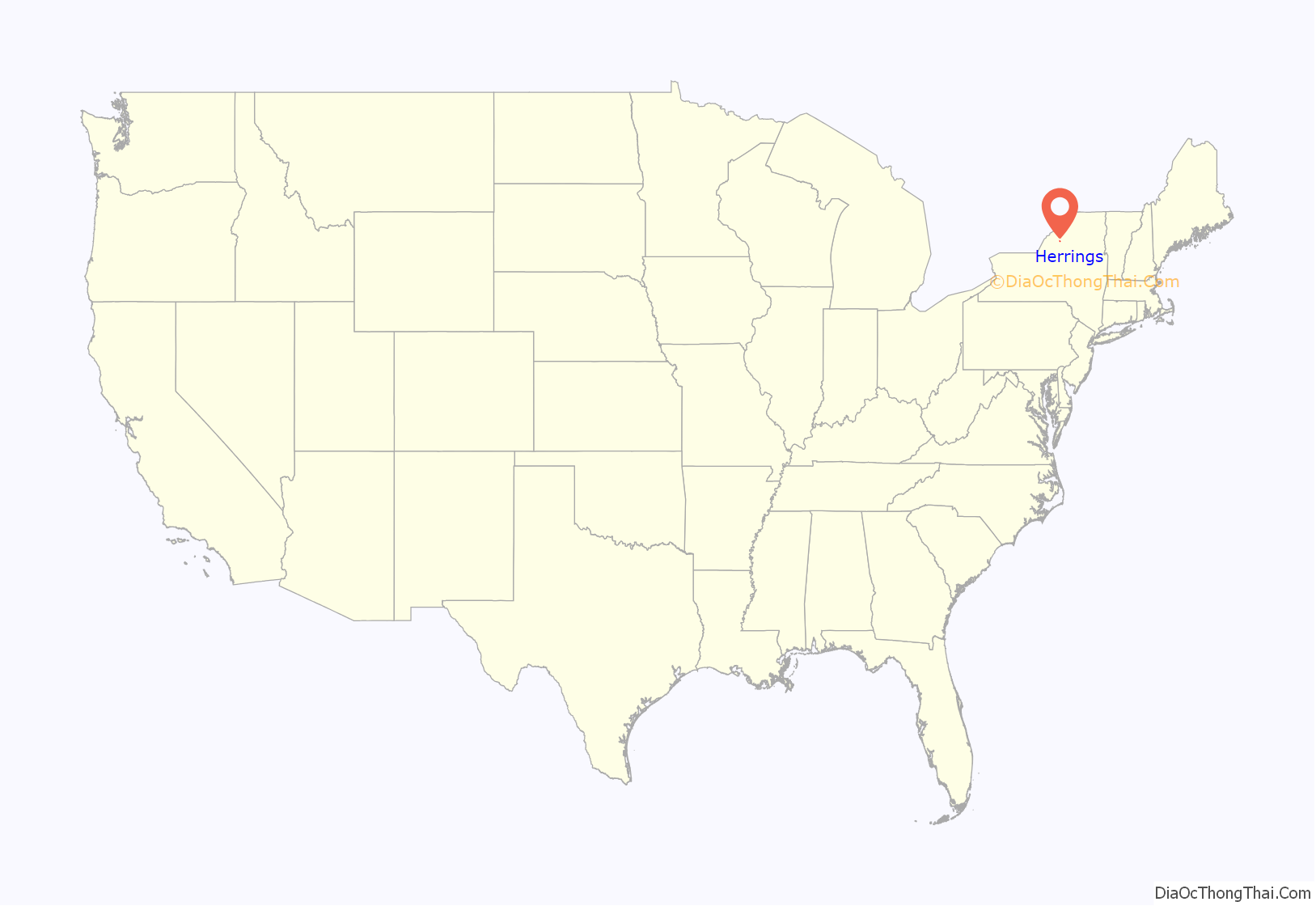
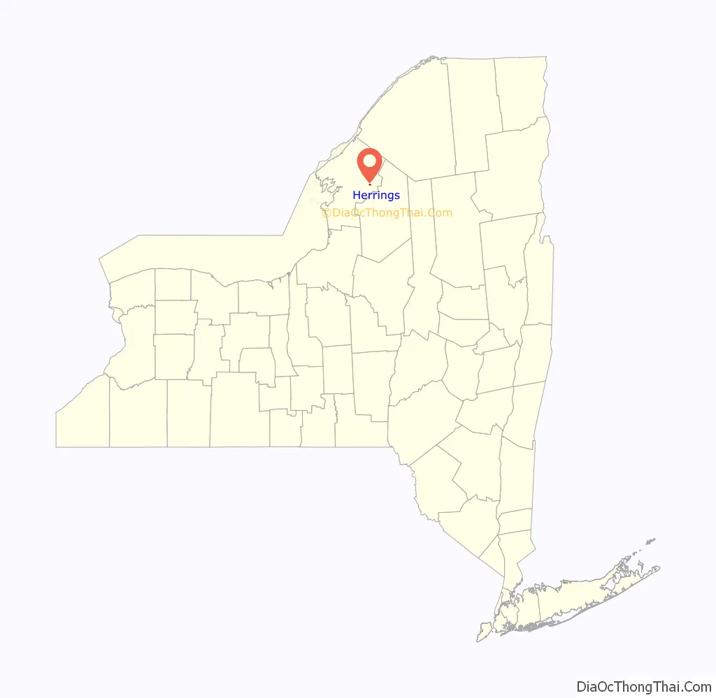
Herrings is a hamlet and former village in Jefferson County, New York, United States. The population was 90 at the 2010 census, down from 129 in 2000. The hamlet is named after two brothers who owned a paper mill in the area.
Herrings is at the western edge of the town of Wilna and is east of Watertown.
| Name: | Herrings CDP |
|---|---|
| LSAD Code: | 57 |
| LSAD Description: | CDP (suffix) |
| State: | New York |
| County: | Jefferson County |
| Incorporated: | 1921 |
| Elevation: | 689 ft (210 m) |
| Total Area: | 0.19 sq mi (0.50 km²) |
| Land Area: | 0.15 sq mi (0.40 km²) |
| Water Area: | 0.04 sq mi (0.10 km²) |
| Total Population: | 116 |
| Population Density: | 753.25/sq mi (290.84/km²) |
| ZIP code: | 13619 |
| Area code: | 315 |
| FIPS code: | 3634220 |
| GNISfeature ID: | 0952642 |
Online Interactive Map
Click on ![]() to view map in "full screen" mode.
to view map in "full screen" mode.
Herrings location map. Where is Herrings CDP?
History
The community was an important stagecoach stop.
Herrings was incorporated as a village in 1921, but dissolved that status in 2017.
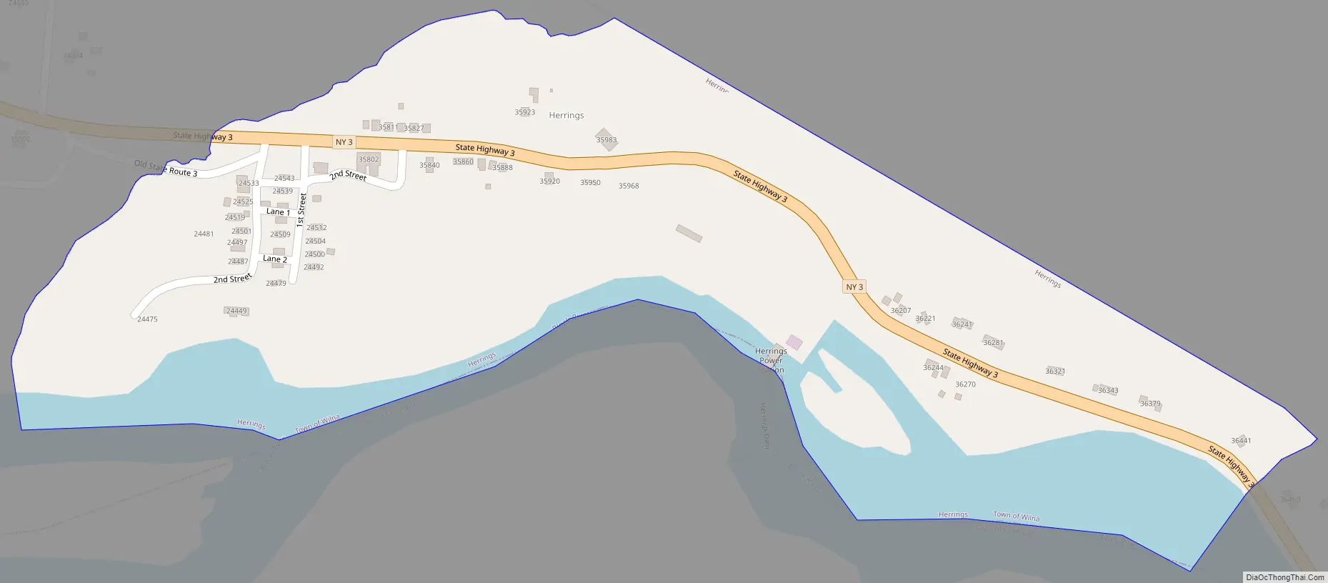
Herrings Road Map
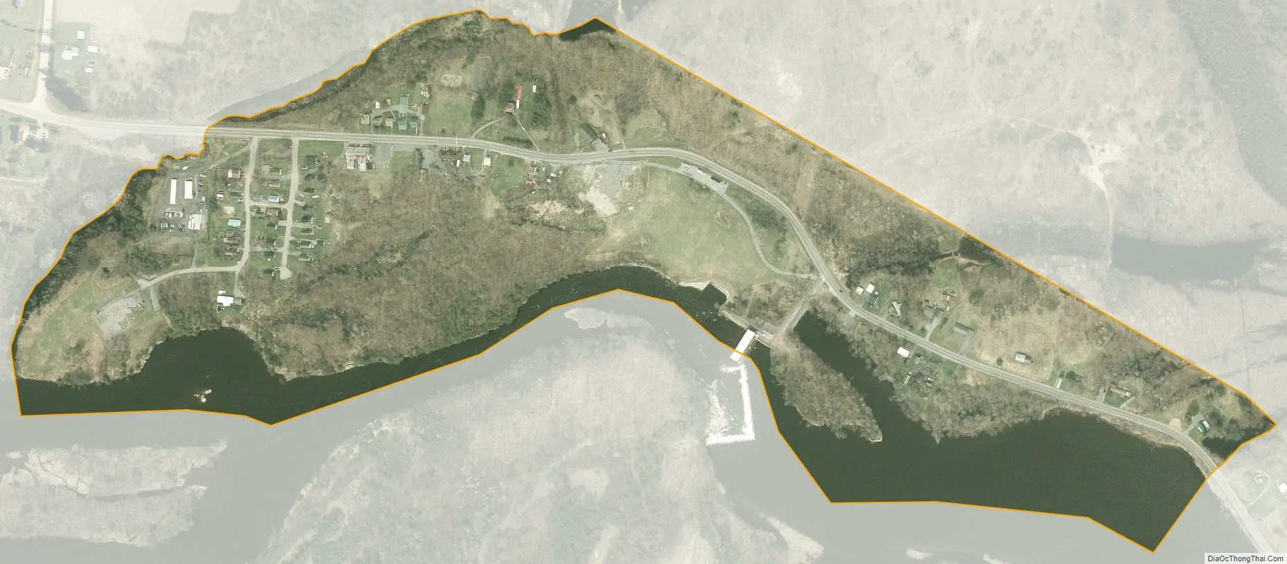
Herrings city Satellite Map
Geography
Herrings is located in eastern Jefferson County at 44°1′26″N 75°39′35″W / 44.02389°N 75.65972°W / 44.02389; -75.65972 (44.023868, -75.659709), on the southwestern edge of the town of Wilna. The community lies on the north bank of the Black River, which forms the boundary between Wilna and the town of Champion.
According to the United States Census Bureau, the CDP has a total area of 0.33 square miles (0.86 km), of which 0.28 square miles (0.73 km) are land and 0.05 square miles (0.13 km), or 14.79%, are water.
New York State Route 3 passes through the community, leading west 14 miles (23 km) to Watertown, the county seat, and southeast 4 miles (6 km) to Carthage.
See also
Map of New York State and its subdivision:- Albany
- Allegany
- Bronx
- Broome
- Cattaraugus
- Cayuga
- Chautauqua
- Chemung
- Chenango
- Clinton
- Columbia
- Cortland
- Delaware
- Dutchess
- Erie
- Essex
- Franklin
- Fulton
- Genesee
- Greene
- Hamilton
- Herkimer
- Jefferson
- Kings
- Lake Ontario
- Lewis
- Livingston
- Madison
- Monroe
- Montgomery
- Nassau
- New York
- Niagara
- Oneida
- Onondaga
- Ontario
- Orange
- Orleans
- Oswego
- Otsego
- Putnam
- Queens
- Rensselaer
- Richmond
- Rockland
- Saint Lawrence
- Saratoga
- Schenectady
- Schoharie
- Schuyler
- Seneca
- Steuben
- Suffolk
- Sullivan
- Tioga
- Tompkins
- Ulster
- Warren
- Washington
- Wayne
- Westchester
- Wyoming
- Yates
- Alabama
- Alaska
- Arizona
- Arkansas
- California
- Colorado
- Connecticut
- Delaware
- District of Columbia
- Florida
- Georgia
- Hawaii
- Idaho
- Illinois
- Indiana
- Iowa
- Kansas
- Kentucky
- Louisiana
- Maine
- Maryland
- Massachusetts
- Michigan
- Minnesota
- Mississippi
- Missouri
- Montana
- Nebraska
- Nevada
- New Hampshire
- New Jersey
- New Mexico
- New York
- North Carolina
- North Dakota
- Ohio
- Oklahoma
- Oregon
- Pennsylvania
- Rhode Island
- South Carolina
- South Dakota
- Tennessee
- Texas
- Utah
- Vermont
- Virginia
- Washington
- West Virginia
- Wisconsin
- Wyoming


