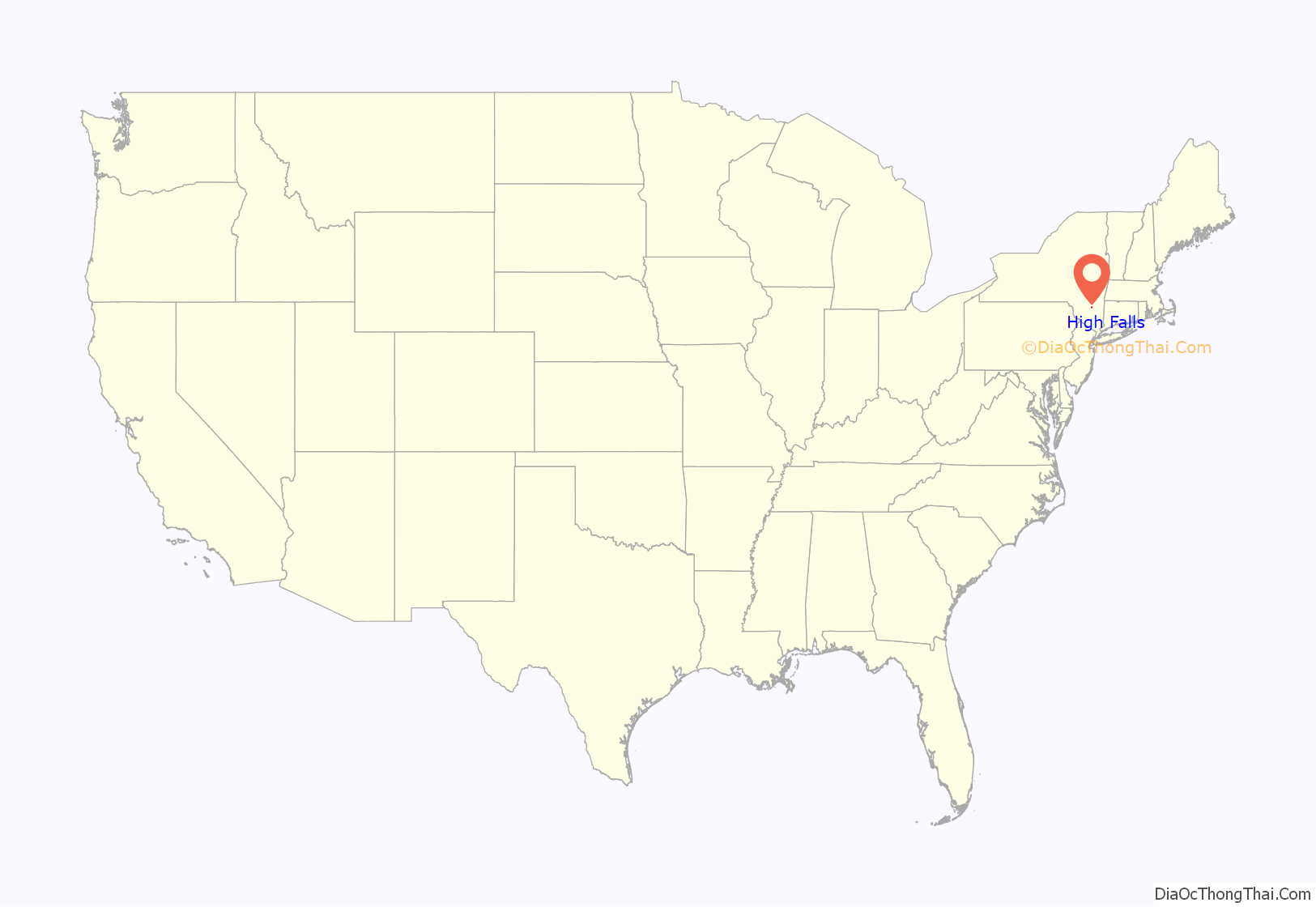
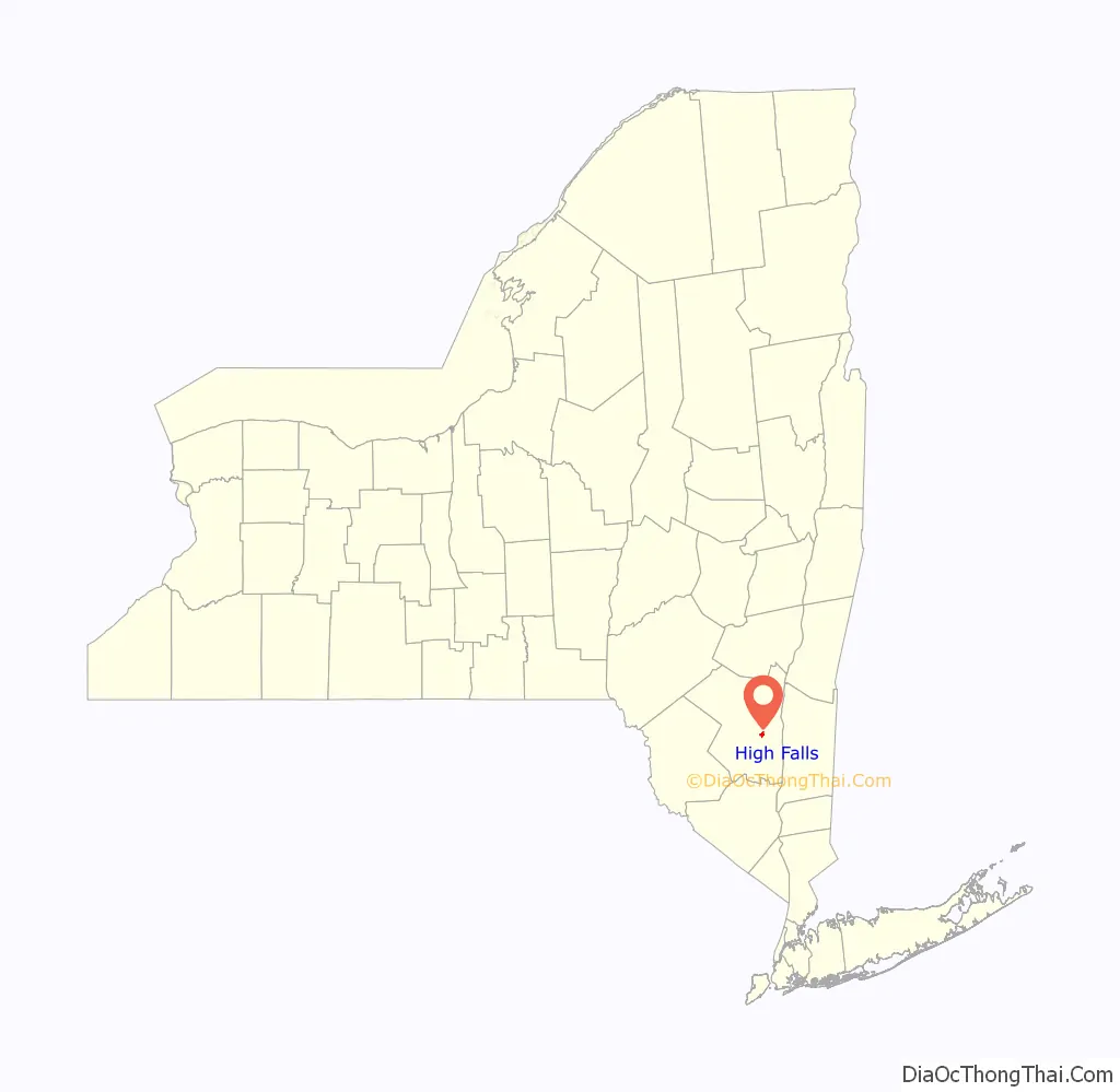
High Falls is a hamlet (and census-designated place) in Ulster County, New York, United States. The population was 700 at the 2020 census.
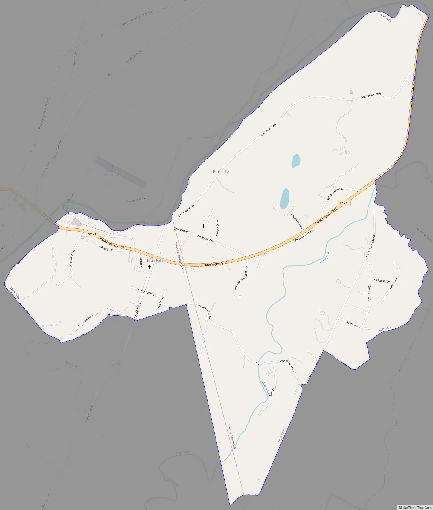
Portions of High Falls are located in the towns of Marbletown, Rosendale, and Rochester.
| Name: | High Falls CDP |
|---|---|
| LSAD Code: | 57 |
| LSAD Description: | CDP (suffix) |
| State: | New York |
| County: | Ulster County |
| Elevation: | 161 ft (49 m) |
| Total Area: | 1.69 sq mi (4.38 km²) |
| Land Area: | 1.69 sq mi (4.38 km²) |
| Water Area: | 0.00 sq mi (0.00 km²) |
| Total Population: | 700 |
| Population Density: | 414.20/sq mi (159.97/km²) |
| ZIP code: | 12440 |
| Area code: | 845 |
| FIPS code: | 3634451 |
| GNISfeature ID: | 0952733 |
Online Interactive Map
Click on ![]() to view map in "full screen" mode.
to view map in "full screen" mode.
High Falls location map. Where is High Falls CDP?
History
The High Falls Historic District and Lock Tender’s House and Canal Store Ruin are listed on the National Register of Historic Places.
High Falls takes its name from the nearby feature on the Rondout, where the creek cuts through a large rock formation and goes over a large waterfall. It was an attractive source of water power, and millers were drawn to it from colonial times. The first bridge to nearby Stone Ridge, on the main road through the valley between the Shawangunks and Catskills, was built during this time. The stone Jacob DePuy House, from 1797 (expanded in mid-19th century), reflects this era and retains much of its original fabric.
A large stone house with a large American flag draped across its upper right story behind an evergreen tree. In front of it is a blue and gold historical marker. The Jacob DePuy house In the early 19th century, a cotton and woolen factory in the hamlet made it a center of local manufacturing, serving many of the farms in the surrounding area. This set the stage for the construction and opening of the canal in 1828. The D & H was built to transport anthracite coal from Northeastern Pennsylvania to New York City via Kingston, where it was transferred to ships plying the Hudson River.
High Falls would be important not only for its location at a key water crossing, spanned by a John A. Roebling aqueduct, and frequent layover on the canal, but for the natural cement discovered at nearby Rosendale during the canal’s construction, which needed the millpower. As the canal remained in operation for the remainder of the century, it would transform the hamlet from an isolated rural community to a bustling, yet small, industrial town, especially after the canal was expanded in 1850 to handle bigger barges. In addition to the facilities built by the Delaware and Hudson Canal Company, such as a lock tender’s house and general store, small stores and shops were built nearby to take advantage of the canal traffic. They and the hamlet’s street and block layout still exist today, a testament to that period.
Development declined along with the canal’s fortunes, and the district has changed little since the canal ceased operations in 1899, other than the state’s relocation of the portion of Route 213 that goes through it in 1956. Its post-canal future began thirty years earlier. The road extending down from the Shawangunks had made High Falls a point of embarkation via carriage for canal or rail travelers destined for Mohonk Mountain House atop the ridge. This may have helped it establish itself as a vacation or weekend destination of its own, a reputation it still enjoys today. The nearby hills and fields and their mountain vistas are home to many second homes for residents of New York City and its downstate suburbs. The shops and stores are now boutiques and restaurants that cater to them on weekends and in summertime.
High Falls Road Map
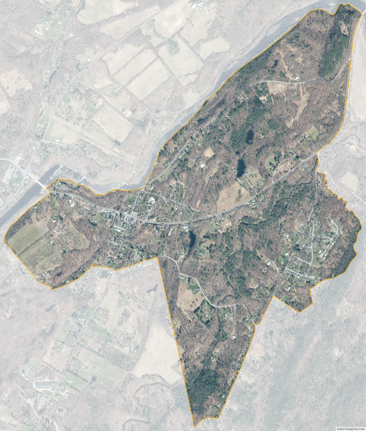
High Falls city Satellite Map
Geography
High Falls is located at 41°49′37″N 74°7′20″W / 41.82694°N 74.12222°W / 41.82694; -74.12222 (41.826892, -74.122151).
According to the United States Census Bureau, the CDP has a total area of 1.2 square miles (3.1 km), all land.
In addition to Marbletown and Rosendale, a small portion of High Falls falls within the town of Rochester.
See also
Map of New York State and its subdivision:- Albany
- Allegany
- Bronx
- Broome
- Cattaraugus
- Cayuga
- Chautauqua
- Chemung
- Chenango
- Clinton
- Columbia
- Cortland
- Delaware
- Dutchess
- Erie
- Essex
- Franklin
- Fulton
- Genesee
- Greene
- Hamilton
- Herkimer
- Jefferson
- Kings
- Lake Ontario
- Lewis
- Livingston
- Madison
- Monroe
- Montgomery
- Nassau
- New York
- Niagara
- Oneida
- Onondaga
- Ontario
- Orange
- Orleans
- Oswego
- Otsego
- Putnam
- Queens
- Rensselaer
- Richmond
- Rockland
- Saint Lawrence
- Saratoga
- Schenectady
- Schoharie
- Schuyler
- Seneca
- Steuben
- Suffolk
- Sullivan
- Tioga
- Tompkins
- Ulster
- Warren
- Washington
- Wayne
- Westchester
- Wyoming
- Yates
- Alabama
- Alaska
- Arizona
- Arkansas
- California
- Colorado
- Connecticut
- Delaware
- District of Columbia
- Florida
- Georgia
- Hawaii
- Idaho
- Illinois
- Indiana
- Iowa
- Kansas
- Kentucky
- Louisiana
- Maine
- Maryland
- Massachusetts
- Michigan
- Minnesota
- Mississippi
- Missouri
- Montana
- Nebraska
- Nevada
- New Hampshire
- New Jersey
- New Mexico
- New York
- North Carolina
- North Dakota
- Ohio
- Oklahoma
- Oregon
- Pennsylvania
- Rhode Island
- South Carolina
- South Dakota
- Tennessee
- Texas
- Utah
- Vermont
- Virginia
- Washington
- West Virginia
- Wisconsin
- Wyoming


