Highland /ˈhaɪˌlænd/ is a hamlet (and census-designated place) in Ulster County, New York, United States. The population was 6,385 at the 2020 census. It is part of the New York City Combined Statistical area.
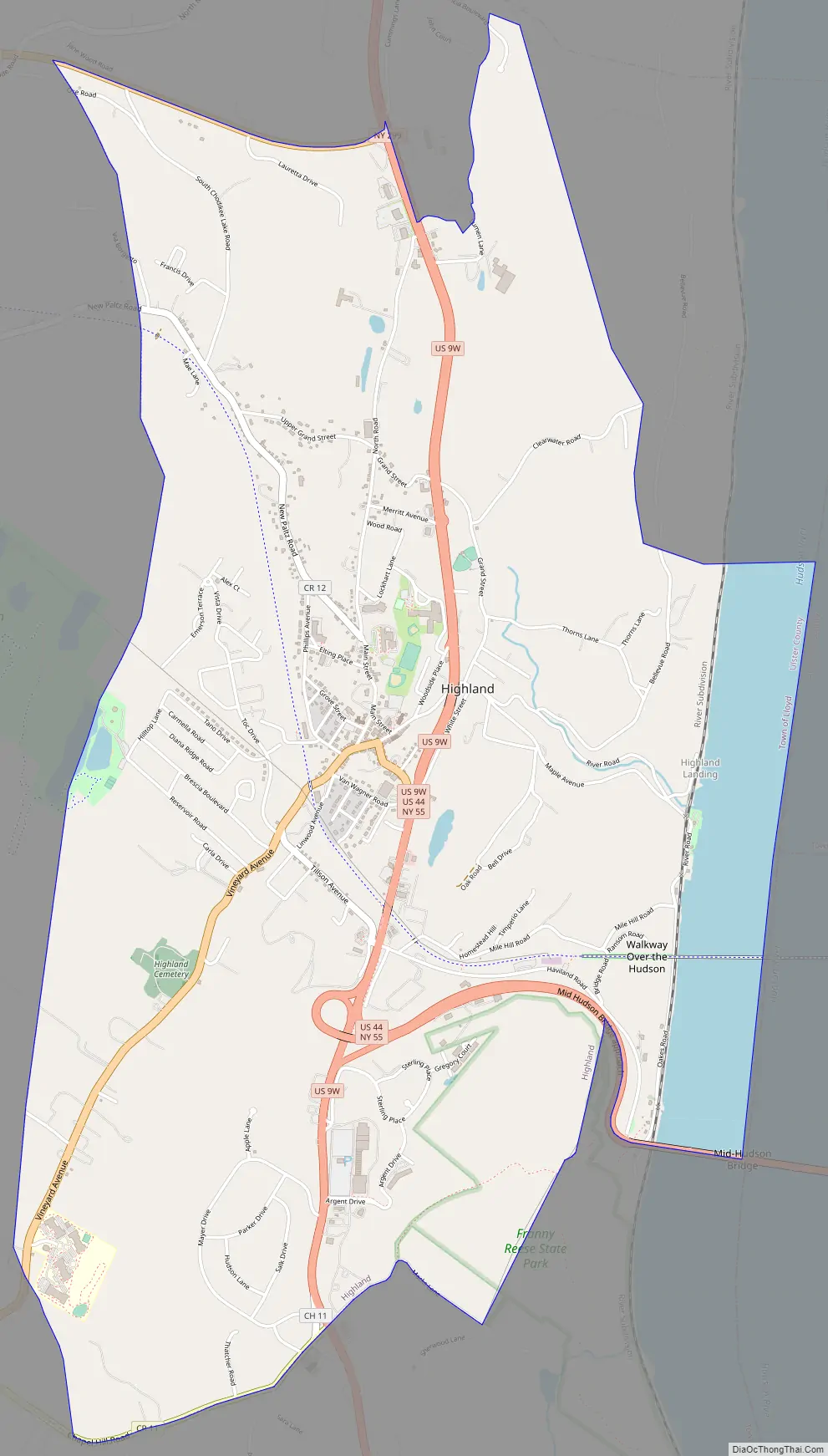
Highland is a community in the town of Lloyd, on U.S. Route 9W. Routes 44 and 55 run through it as well. It is the town at the western end of the Mid-Hudson Bridge across from Poughkeepsie.
| Name: | Highland CDP |
|---|---|
| LSAD Code: | 57 |
| LSAD Description: | CDP (suffix) |
| State: | New York |
| County: | Ulster County |
| Total Area: | 5.40 sq mi (14.00 km²) |
| Land Area: | 4.70 sq mi (12.17 km²) |
| Water Area: | 0.70 sq mi (1.83 km²) |
| Total Population: | 6,385 |
| Population Density: | 1,358.51/sq mi (524.65/km²) |
| ZIP code: | 12528 |
| FIPS code: | 3634484 |
| GNISfeature ID: | 952773 |
Online Interactive Map
Click on ![]() to view map in "full screen" mode.
to view map in "full screen" mode.
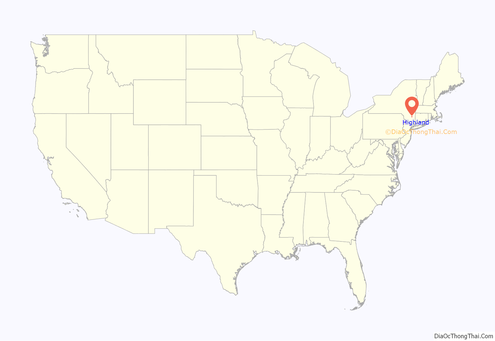
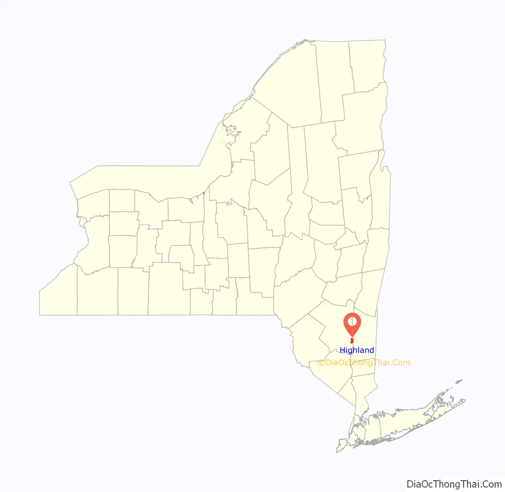
Highland location map. Where is Highland CDP?
History
The Brown–Ellis House and Anthony Yelverton House are listed on the National Register of Historic Places.
Highland Road Map
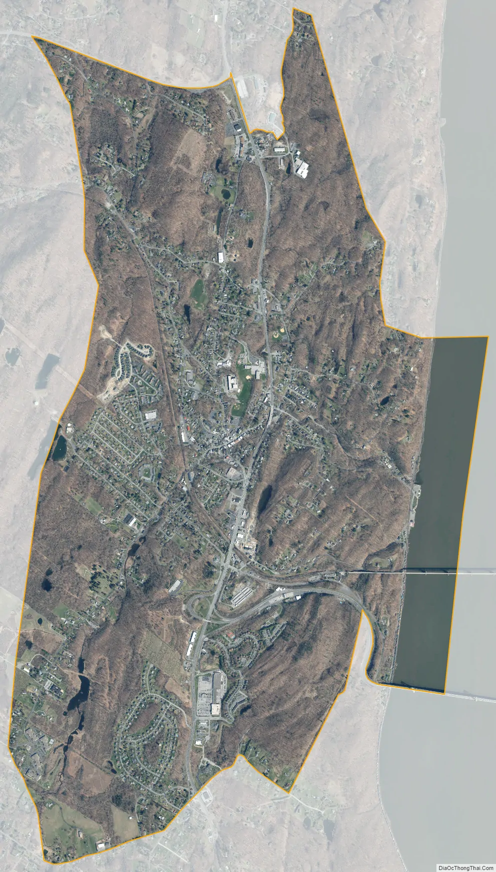
Highland city Satellite Map
Geography
The community is on the west bank of the Hudson River.
Highland is located at 41°43′6″N 73°57′49″W / 41.71833°N 73.96361°W / 41.71833; -73.96361 (41.718357, -73.963590).
According to the United States Census Bureau, the CDP has a total area of 5.1 square miles (13 km), of which 4.7 square miles (12 km) is land and 0.3 square miles (0.78 km) (6.90%) is water.
See also
Map of New York State and its subdivision:- Albany
- Allegany
- Bronx
- Broome
- Cattaraugus
- Cayuga
- Chautauqua
- Chemung
- Chenango
- Clinton
- Columbia
- Cortland
- Delaware
- Dutchess
- Erie
- Essex
- Franklin
- Fulton
- Genesee
- Greene
- Hamilton
- Herkimer
- Jefferson
- Kings
- Lake Ontario
- Lewis
- Livingston
- Madison
- Monroe
- Montgomery
- Nassau
- New York
- Niagara
- Oneida
- Onondaga
- Ontario
- Orange
- Orleans
- Oswego
- Otsego
- Putnam
- Queens
- Rensselaer
- Richmond
- Rockland
- Saint Lawrence
- Saratoga
- Schenectady
- Schoharie
- Schuyler
- Seneca
- Steuben
- Suffolk
- Sullivan
- Tioga
- Tompkins
- Ulster
- Warren
- Washington
- Wayne
- Westchester
- Wyoming
- Yates
- Alabama
- Alaska
- Arizona
- Arkansas
- California
- Colorado
- Connecticut
- Delaware
- District of Columbia
- Florida
- Georgia
- Hawaii
- Idaho
- Illinois
- Indiana
- Iowa
- Kansas
- Kentucky
- Louisiana
- Maine
- Maryland
- Massachusetts
- Michigan
- Minnesota
- Mississippi
- Missouri
- Montana
- Nebraska
- Nevada
- New Hampshire
- New Jersey
- New Mexico
- New York
- North Carolina
- North Dakota
- Ohio
- Oklahoma
- Oregon
- Pennsylvania
- Rhode Island
- South Carolina
- South Dakota
- Tennessee
- Texas
- Utah
- Vermont
- Virginia
- Washington
- West Virginia
- Wisconsin
- Wyoming


