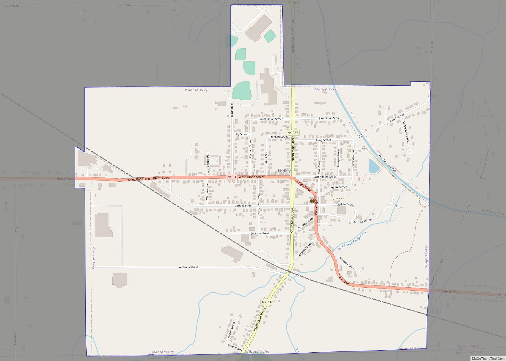
Holley is a village in the town of Murray in Orleans County, New York, United States. The population was 1,811 at the 2010 census. It is part of the Rochester Metropolitan Statistical Area.
| Name: | Holley village |
|---|---|
| LSAD Code: | 47 |
| LSAD Description: | village (suffix) |
| State: | New York |
| County: | Orleans County |
| Elevation: | 541 ft (165 m) |
| Total Area: | 1.27 sq mi (3.28 km²) |
| Land Area: | 1.27 sq mi (3.28 km²) |
| Water Area: | 0.00 sq mi (0.00 km²) |
| Total Population: | 1,754 |
| Population Density: | 1,383.28/sq mi (534.04/km²) |
| ZIP code: | 14470 |
| Area code: | 585 |
| FIPS code: | 3635155 |
| GNISfeature ID: | 0952995 |
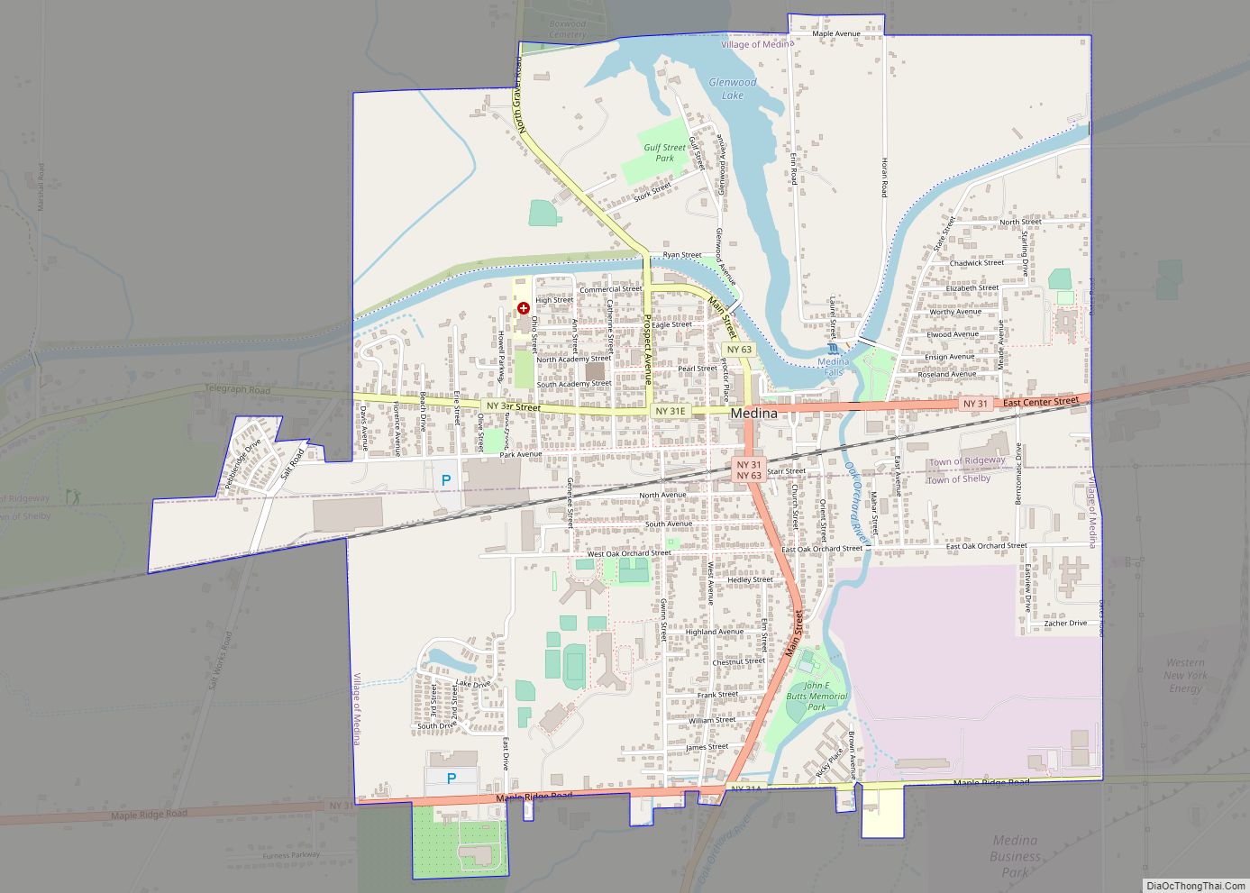
Online Interactive Map
Click on ![]() to view map in "full screen" mode.
to view map in "full screen" mode.
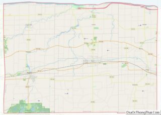
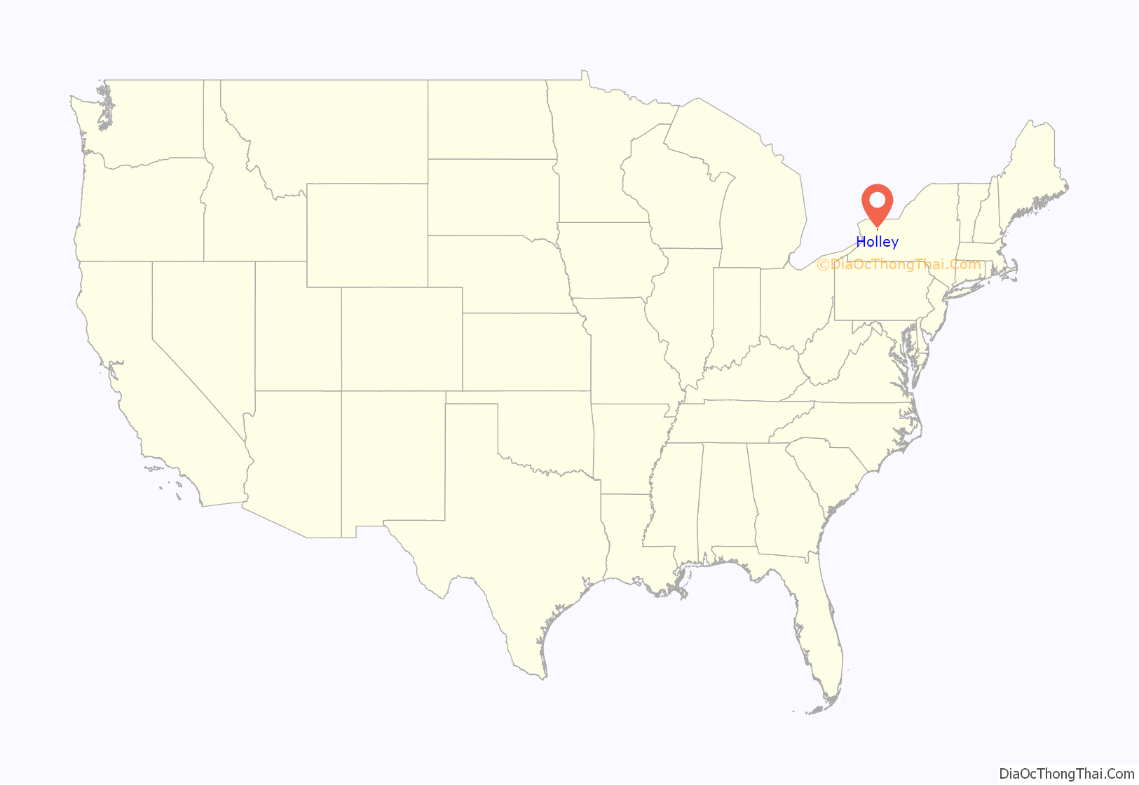
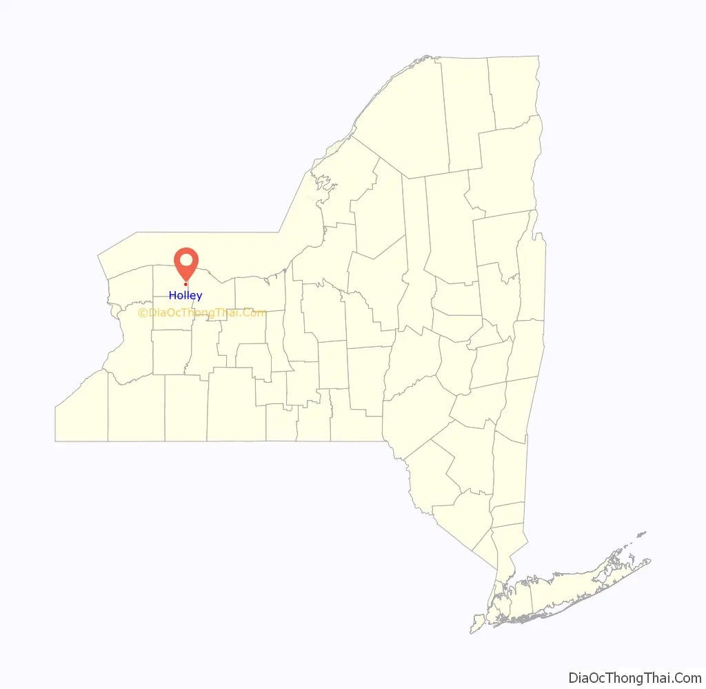
Holley location map. Where is Holley village?
History
The village of Holley was incorporated in 1850. Originally named Saltport, the name was changed to honor Myron Holley, a commissioner of the Erie Canal.
The village of Holley hosted an annual “Hazzard County Squirrel Slam,” from 2006 until the last event in 2016, a squirrel hunt that raises funds for the village’s fire department. The event went off without incident for six consecutive years until the 2013 edition drew the sudden ire of a coalition of wildlife rehabilitators, animal rights activists and gun control advocates. Approximately 30 people stood outside of the Holley Fire Department to protest the event. Protests also occurred in 2014, 2015, and 2016. Several lawsuits to stop the event took place, none of which were successful. Due to controversy the “Squirrel Slam” hasn’t taken place since 2016.
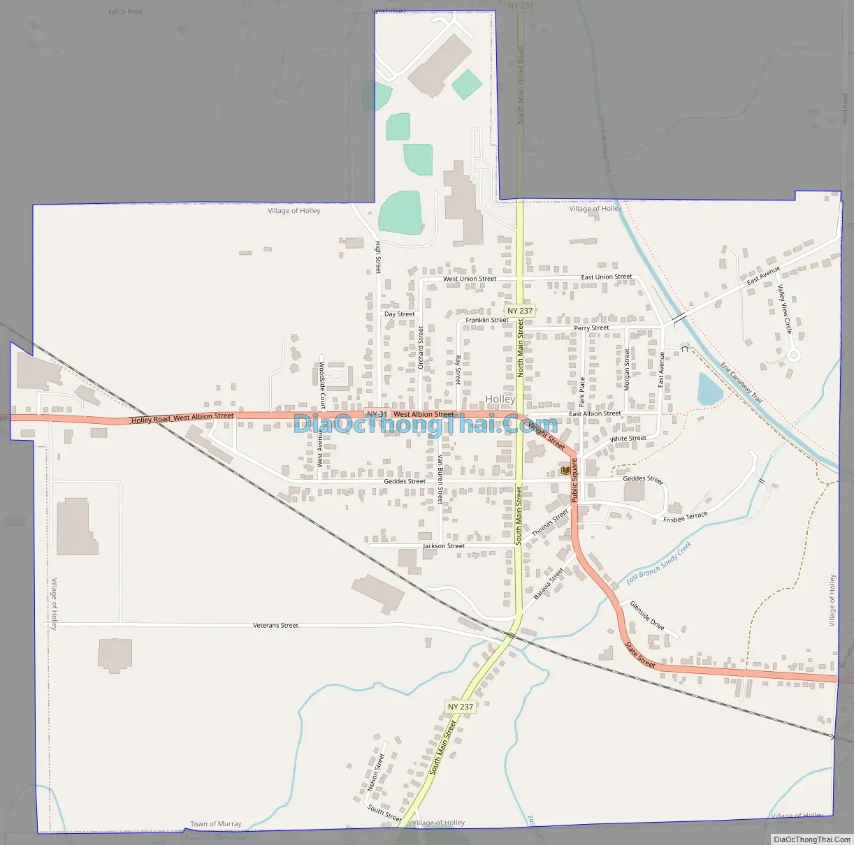
Holley Road Map
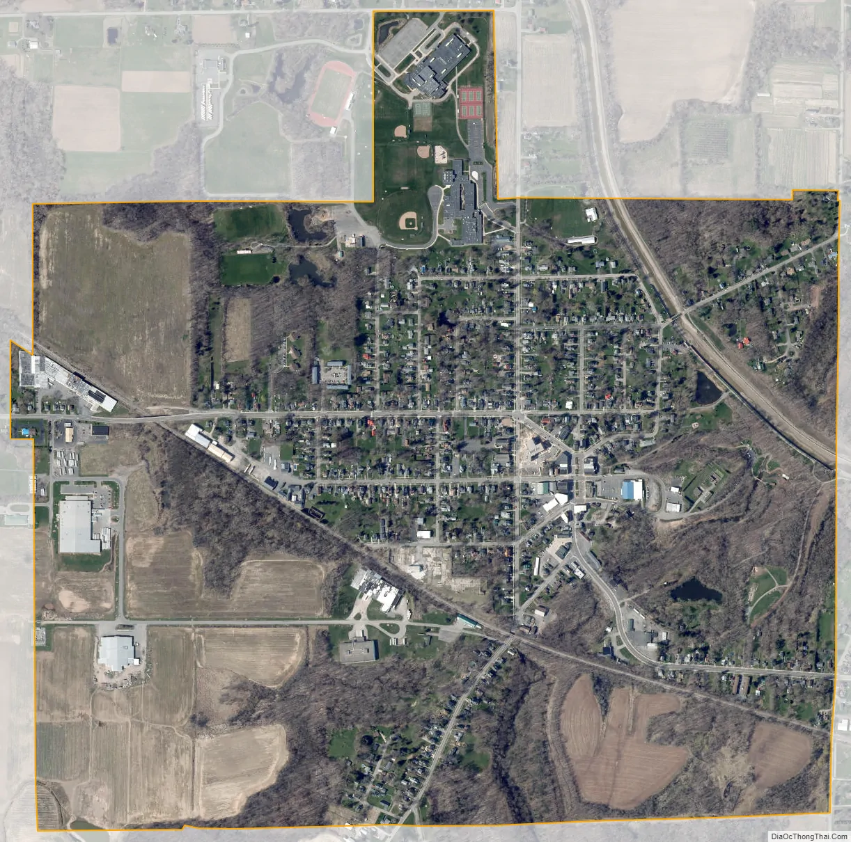
Holley city Satellite Map
Geography
According to the United States Census Bureau, the village has a total area of 1.3 square miles (3.4 km), all land.
Holley is located on the Erie Canal.
The village is located at the junction of east-west highway New York State Route 31 (West Albion Street and State Street) and north-south highway New York State Route 237 (North and South Main Street).
See also
Map of New York State and its subdivision:- Albany
- Allegany
- Bronx
- Broome
- Cattaraugus
- Cayuga
- Chautauqua
- Chemung
- Chenango
- Clinton
- Columbia
- Cortland
- Delaware
- Dutchess
- Erie
- Essex
- Franklin
- Fulton
- Genesee
- Greene
- Hamilton
- Herkimer
- Jefferson
- Kings
- Lake Ontario
- Lewis
- Livingston
- Madison
- Monroe
- Montgomery
- Nassau
- New York
- Niagara
- Oneida
- Onondaga
- Ontario
- Orange
- Orleans
- Oswego
- Otsego
- Putnam
- Queens
- Rensselaer
- Richmond
- Rockland
- Saint Lawrence
- Saratoga
- Schenectady
- Schoharie
- Schuyler
- Seneca
- Steuben
- Suffolk
- Sullivan
- Tioga
- Tompkins
- Ulster
- Warren
- Washington
- Wayne
- Westchester
- Wyoming
- Yates
- Alabama
- Alaska
- Arizona
- Arkansas
- California
- Colorado
- Connecticut
- Delaware
- District of Columbia
- Florida
- Georgia
- Hawaii
- Idaho
- Illinois
- Indiana
- Iowa
- Kansas
- Kentucky
- Louisiana
- Maine
- Maryland
- Massachusetts
- Michigan
- Minnesota
- Mississippi
- Missouri
- Montana
- Nebraska
- Nevada
- New Hampshire
- New Jersey
- New Mexico
- New York
- North Carolina
- North Dakota
- Ohio
- Oklahoma
- Oregon
- Pennsylvania
- Rhode Island
- South Carolina
- South Dakota
- Tennessee
- Texas
- Utah
- Vermont
- Virginia
- Washington
- West Virginia
- Wisconsin
- Wyoming