Honeoye (/ˈhʌniɔɪ/ HUN-ee-oy) is a hamlet in the Town of Richmond, in Ontario County, New York, United States. The population was 579 at the 2010 census, which lists the community as a census-designated place (CDP).
It is located 33 miles (53 kilometers) south of downtown Rochester. The community is at the north end of Honeoye Lake, one of the minor Finger Lakes. It is primarily situated along U.S. Route 20A between Ontario County Roads 33 and 37. The center of the hamlet can roughly be placed at the intersection of Route 20A and Ontario County Road 36 (West Lake Road).
Due to its location at the northern tip of Honeoye Lake and seasonal recreational population, the hamlet contains several businesses, including gas stations and grocery, drug, liquor, hardware, auto-parts, and convenience stores. It also contains several restaurants, a doctor’s office, dentist’s office, and Honeoye Central School, which is K-12. There are also multiple churches, a fire station, public library, beach, park, state boat launch, and hiking trail.
| Name: | Honeoye CDP |
|---|---|
| LSAD Code: | 57 |
| LSAD Description: | CDP (suffix) |
| State: | New York |
| County: | Ontario County |
| Elevation: | 814 ft (248 m) |
| Total Area: | 0.921 sq mi (2.39 km²) |
| Land Area: | 0.921 sq mi (2.39 km²) |
| Water Area: | 0.0 sq mi (0 km²) |
| Total Population: | 579 |
| Population Density: | 628.7/sq mi (242.7/km²) |
| ZIP code: | 14471 |
| Area code: | 585 |
| FIPS code: | 3635353 |
| GNISfeature ID: | 953132 |
| Website: | townofrichmond.org |
Online Interactive Map
Click on ![]() to view map in "full screen" mode.
to view map in "full screen" mode.
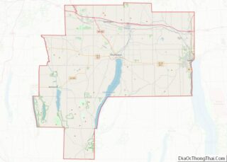
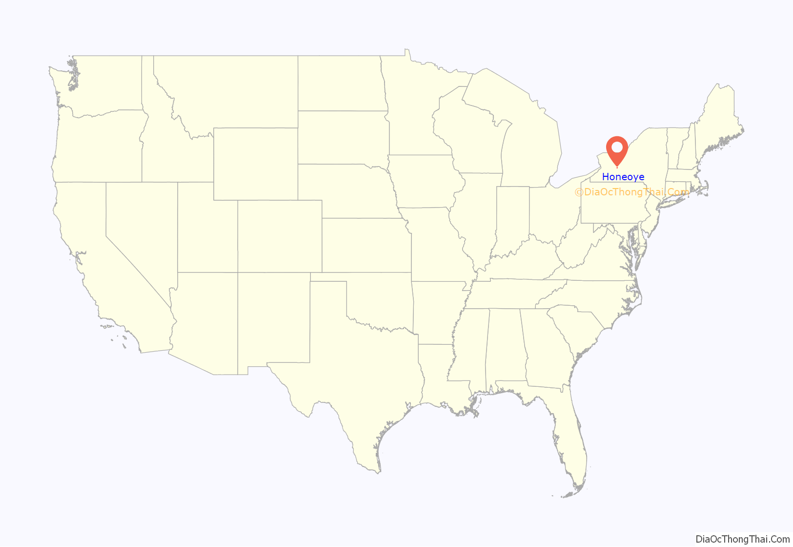
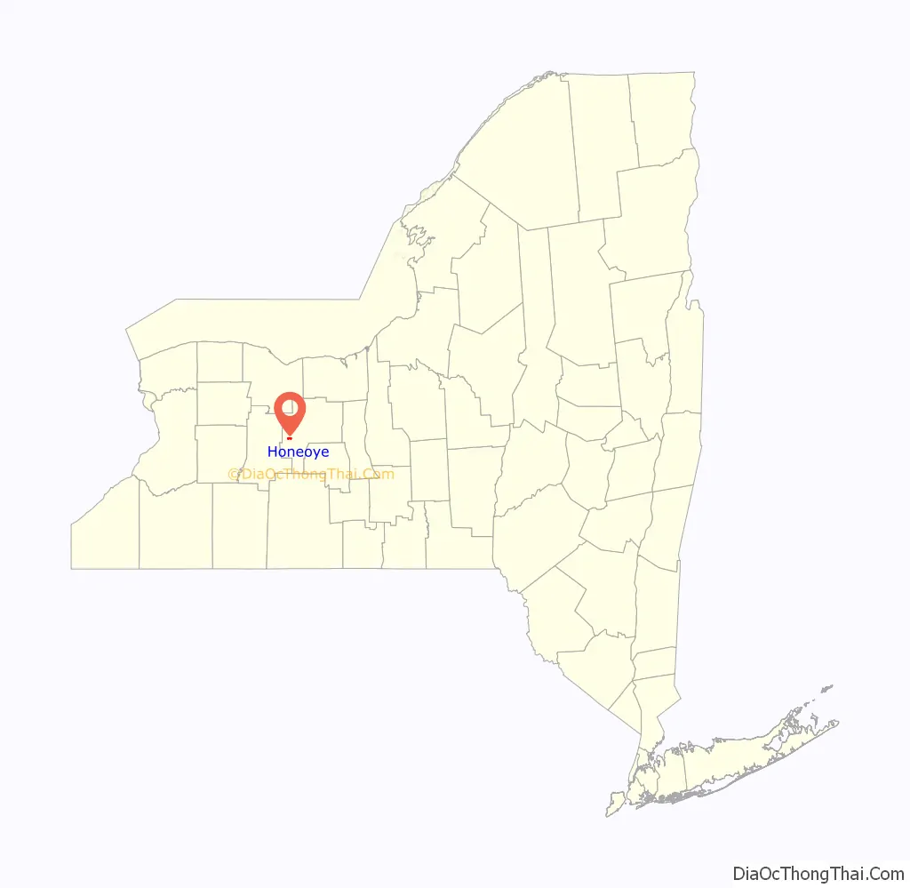
Honeoye location map. Where is Honeoye CDP?
History
The name Honeoye is derived from the Seneca word ha-ne-a-yah, which means lying finger, or where the finger lies. The name comes from the local story of a Native American whose finger was bitten by a rattlesnake and who therefore cut off his finger with a tomahawk.
The area that is now the hamlet of Honeoye is thought to have first been inhabited by the Point Peninsula Indians more than 10,000 years ago. Following them came the Seneca, who settled their village at the northeast part of Honeoye Lake, just north of the present-day community of Honeoye Lake Park.
During the American Revolution, this Seneca village was destroyed by General John Sullivan in September 1779 as part of his campaign to eliminate the threat from the Iroquois, most of whose nations were allied with the British. At the site of the Indian village, Sullivan’s troops built a small garrison known as Fort Cummings, named for the commanding officer left in charge. Here they left their “sick, lame and lazy” as well as a large portion of their supplies, so they could quickly enter the Genesee country to the west and drive the Seneca from the frontier.
After the war, some of these soldiers chose to return and resettle in western New York because of its fertile soil. Some land was paid as bounty to war veterans. Captain Peter Pitts was the first European-American to settle the area of present-day Honeoye, where he established Pittstown (now Richmond) in 1789.
In the mid-19th century, this area had numerous abolitionists, feminists, and other progressive activists. Stations of the Underground Railroad were founded in western New York to help convey escaped slaves to freedom in Canada. The Seneca Falls Convention for women’s rights took place in the nearby town.
Honeoye remained a largely agricultural community until the early part of the 20th century, when many wealthy people from Rochester took interest in Honeoye Lake as a resort area. Its relatively shallow depth gave it warmer temperatures than the Great Lakes. In the 1920s the City of Rochester took interest in the lake as a source of municipal water and created some plans to flood Honeoye Valley behind a dam, but since the city already was getting water from Canadice and Hemlock lakes, this never took place. Since then, the area has remained popular for vacationers.
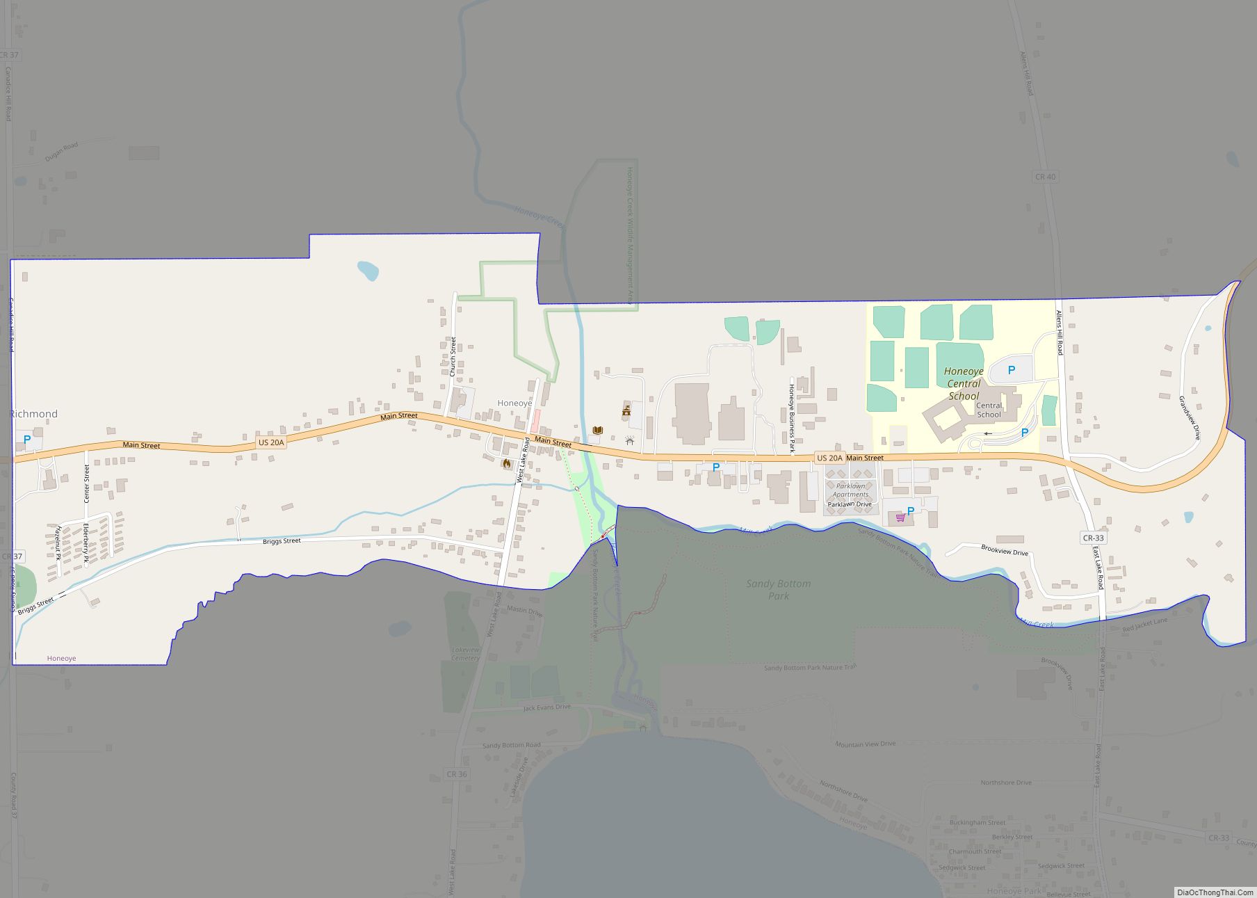
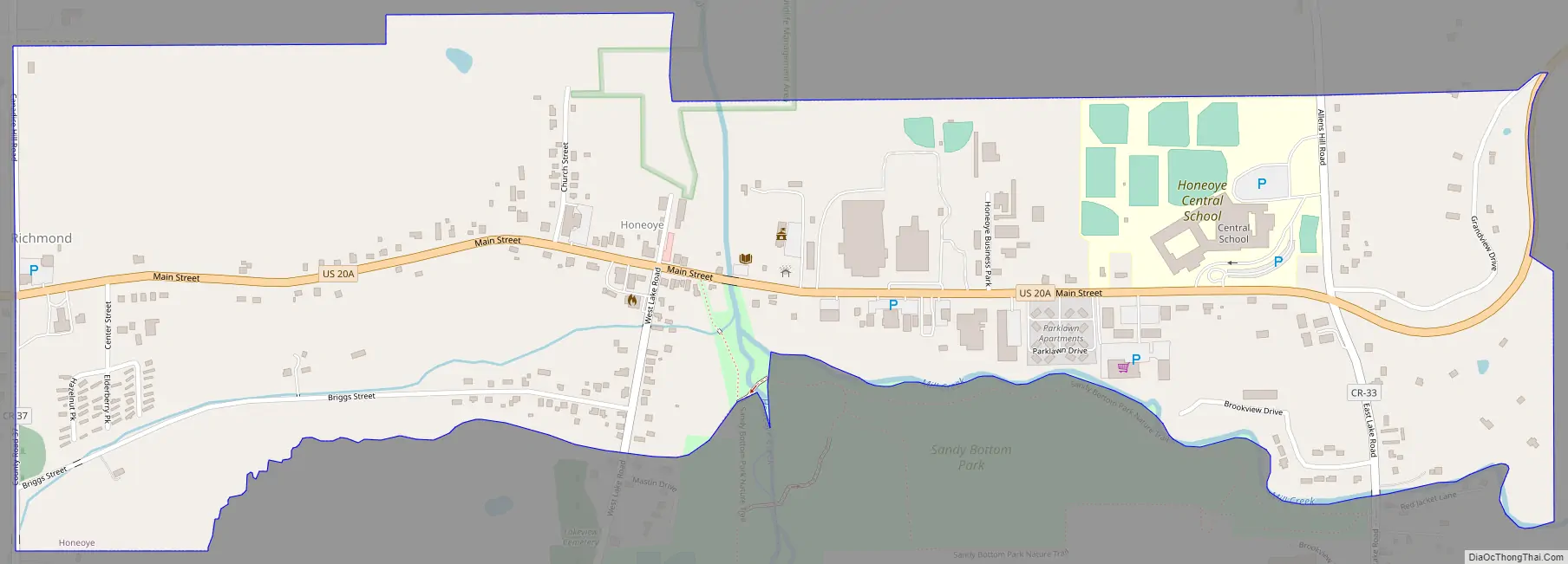
Honeoye Road Map
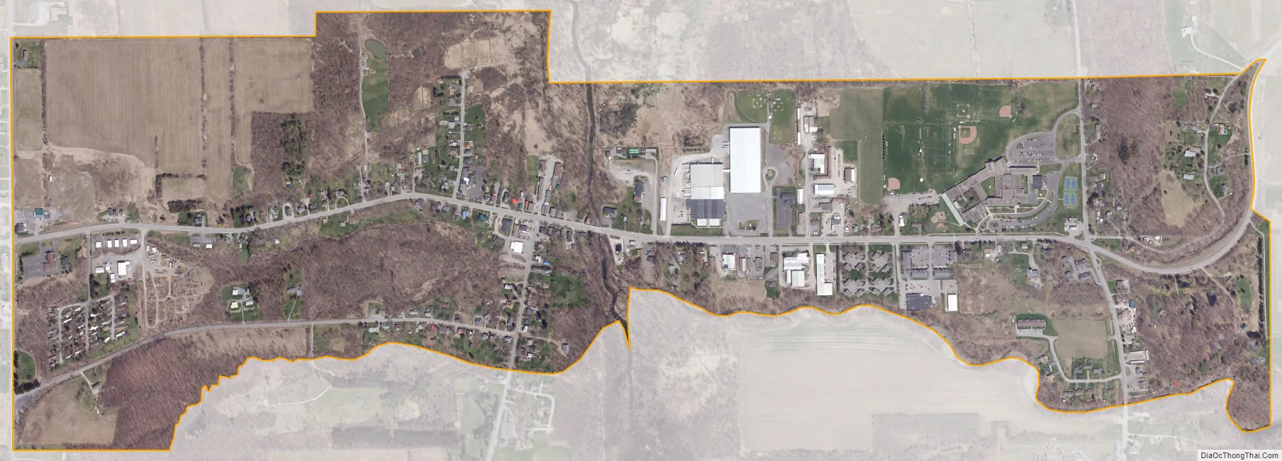
Honeoye city Satellite Map
Geography
The Hamlet of Honeoye lies just north of Honeoye Lake on Honeoye Creek and lies at the bottom of Honeoye Valley. The climate of Honeoye is typical of the northeastern United States, with four distinct seasons including warm, humid summers and cold snowy winters.
Honeoye is located at 42°47′24″N 077°31′01″W / 42.79000°N 77.51694°W / 42.79000; -77.51694 (42.7900646, -77.5169374) and its elevation is 814 feet (248 m).
According to the 2010 United States Census, the CDP has a total area of 0.921 square miles (2.39 km), all land.
See also
Map of New York State and its subdivision:- Albany
- Allegany
- Bronx
- Broome
- Cattaraugus
- Cayuga
- Chautauqua
- Chemung
- Chenango
- Clinton
- Columbia
- Cortland
- Delaware
- Dutchess
- Erie
- Essex
- Franklin
- Fulton
- Genesee
- Greene
- Hamilton
- Herkimer
- Jefferson
- Kings
- Lake Ontario
- Lewis
- Livingston
- Madison
- Monroe
- Montgomery
- Nassau
- New York
- Niagara
- Oneida
- Onondaga
- Ontario
- Orange
- Orleans
- Oswego
- Otsego
- Putnam
- Queens
- Rensselaer
- Richmond
- Rockland
- Saint Lawrence
- Saratoga
- Schenectady
- Schoharie
- Schuyler
- Seneca
- Steuben
- Suffolk
- Sullivan
- Tioga
- Tompkins
- Ulster
- Warren
- Washington
- Wayne
- Westchester
- Wyoming
- Yates
- Alabama
- Alaska
- Arizona
- Arkansas
- California
- Colorado
- Connecticut
- Delaware
- District of Columbia
- Florida
- Georgia
- Hawaii
- Idaho
- Illinois
- Indiana
- Iowa
- Kansas
- Kentucky
- Louisiana
- Maine
- Maryland
- Massachusetts
- Michigan
- Minnesota
- Mississippi
- Missouri
- Montana
- Nebraska
- Nevada
- New Hampshire
- New Jersey
- New Mexico
- New York
- North Carolina
- North Dakota
- Ohio
- Oklahoma
- Oregon
- Pennsylvania
- Rhode Island
- South Carolina
- South Dakota
- Tennessee
- Texas
- Utah
- Vermont
- Virginia
- Washington
- West Virginia
- Wisconsin
- Wyoming