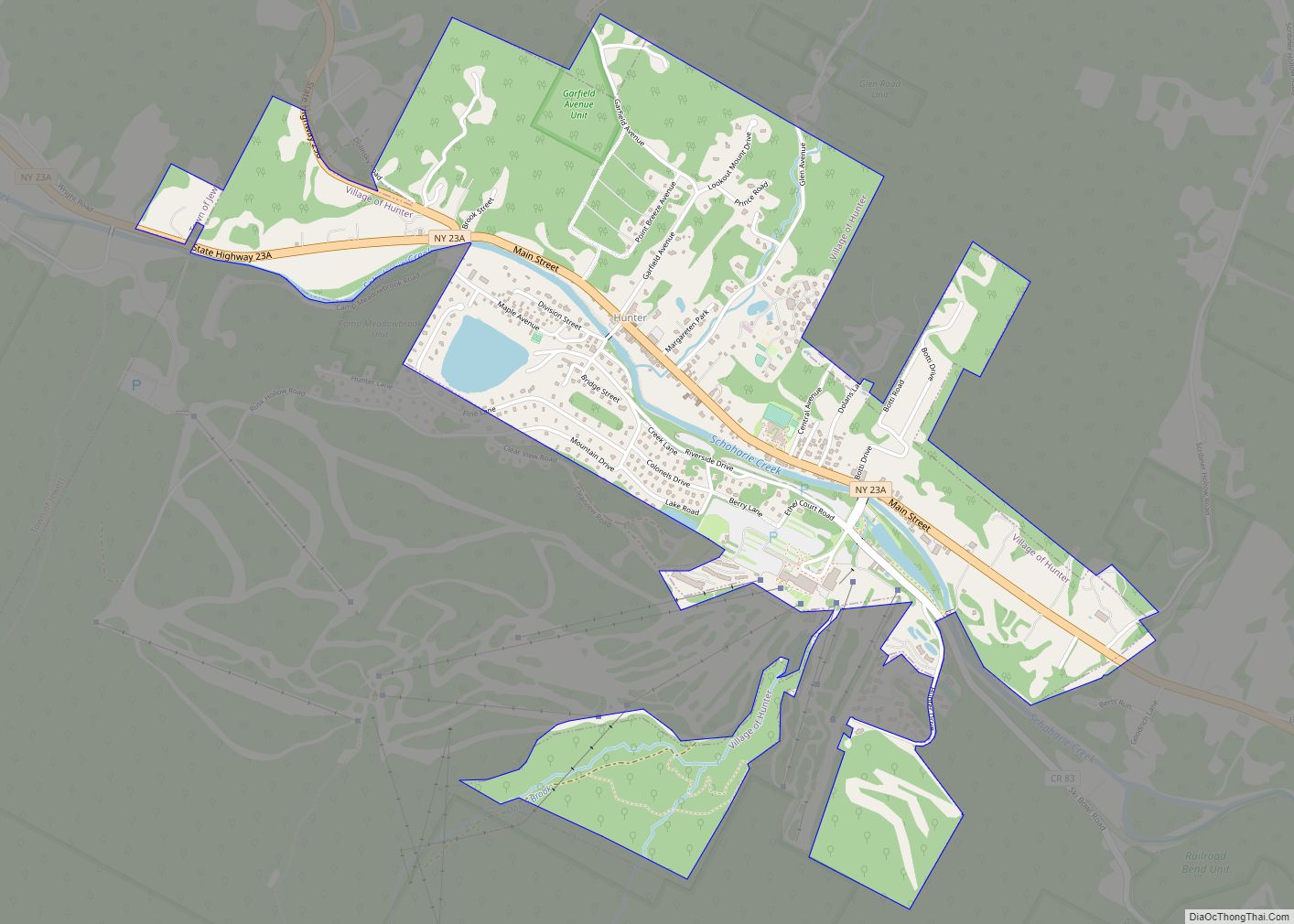
Hunter is a village in Greene County, New York, United States. The population was 429 at the 2020 census, down from 502 at the 2010 census. The village is in the northwestern part of the town of Hunter on Route 23A.
| Name: | Hunter village |
|---|---|
| LSAD Code: | 47 |
| LSAD Description: | village (suffix) |
| State: | New York |
| County: | Greene County |
| Elevation: | 1,588 ft (484 m) |
| Total Area: | 1.89 sq mi (4.88 km²) |
| Land Area: | 1.85 sq mi (4.80 km²) |
| Water Area: | 0.03 sq mi (0.08 km²) |
| Total Population: | 429 |
| Population Density: | 231.39/sq mi (89.36/km²) |
| ZIP code: | 12442 |
| Area code: | 518 |
| FIPS code: | 3636167 |
| GNISfeature ID: | 0953467 |
| Website: | villageofhunterny.org |
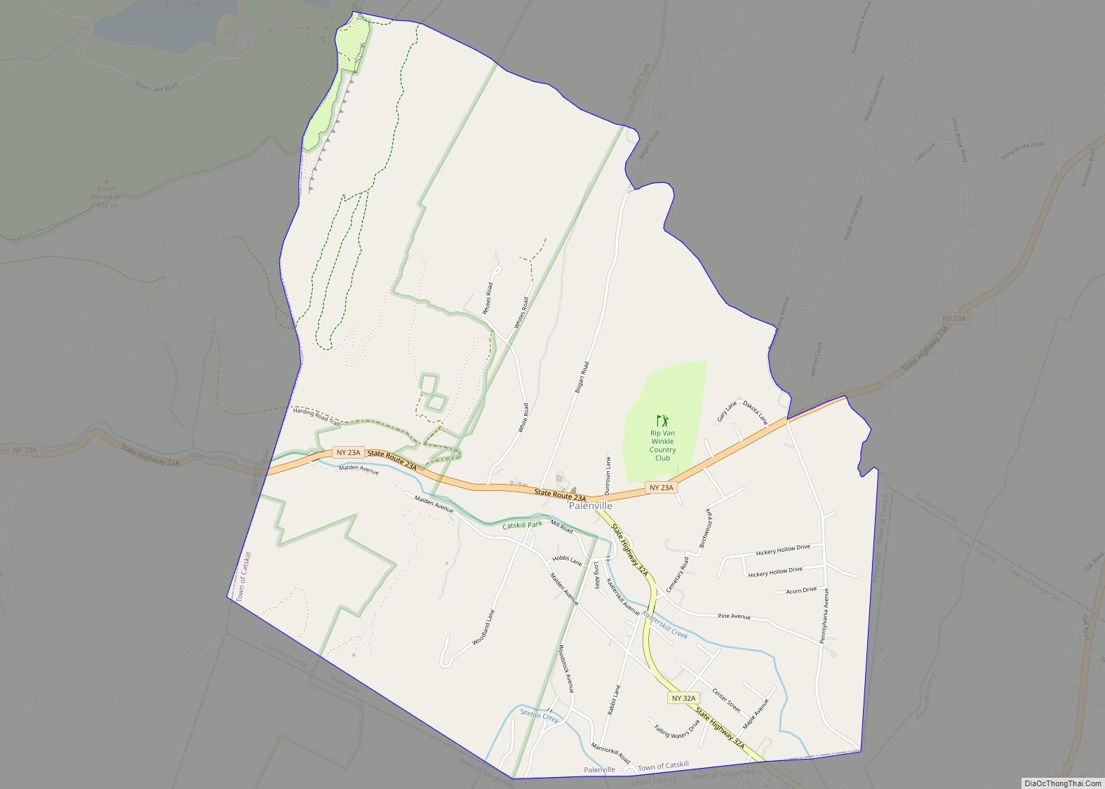
Online Interactive Map
Click on ![]() to view map in "full screen" mode.
to view map in "full screen" mode.
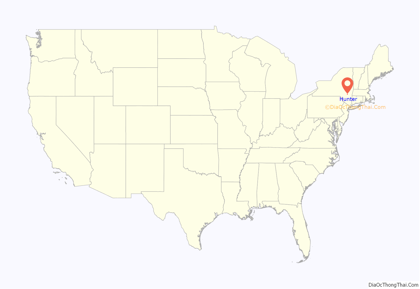
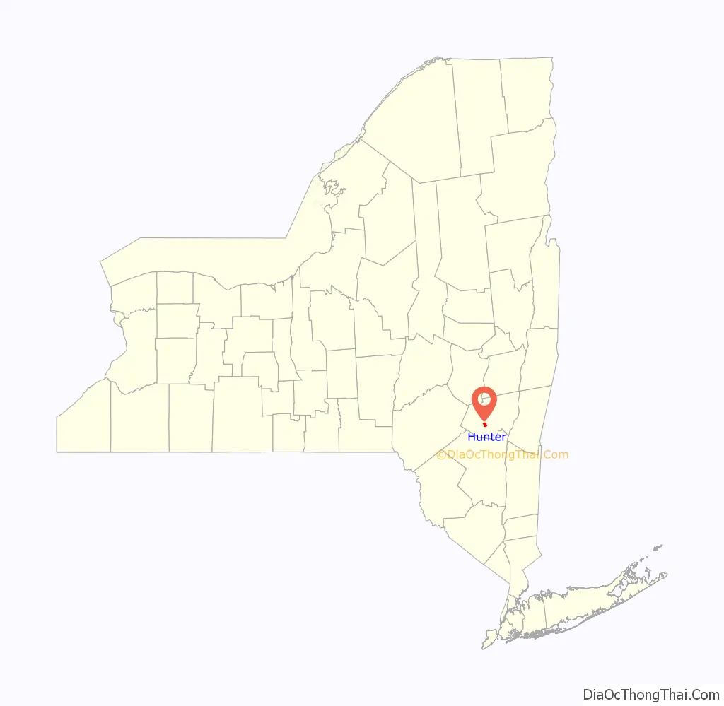
Hunter location map. Where is Hunter village?
History
The community was initially called “Edwardsville” after William Edwards, who founded the village by building a tannery there. The village was incorporated in 1896.
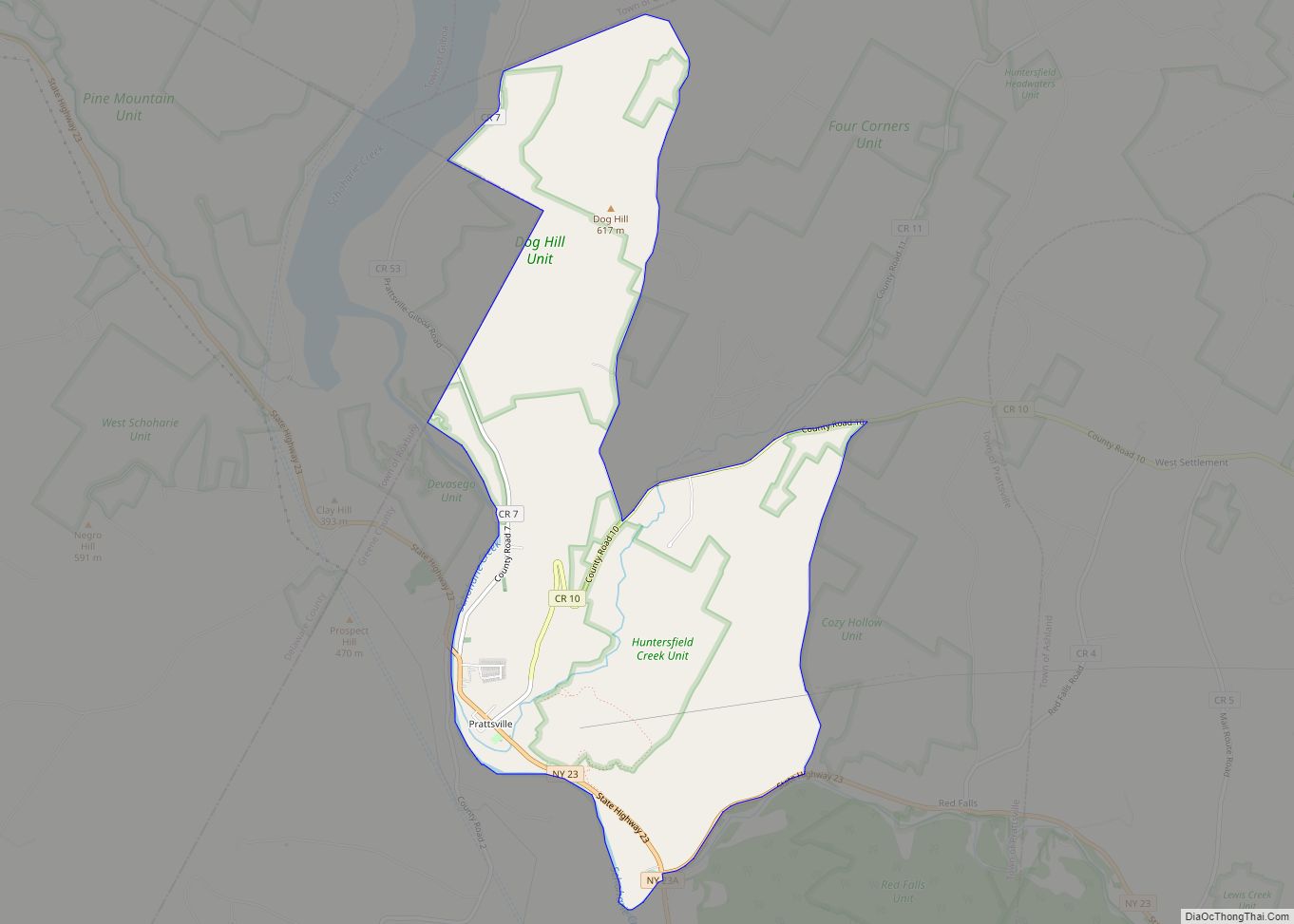
Hunter Road Map

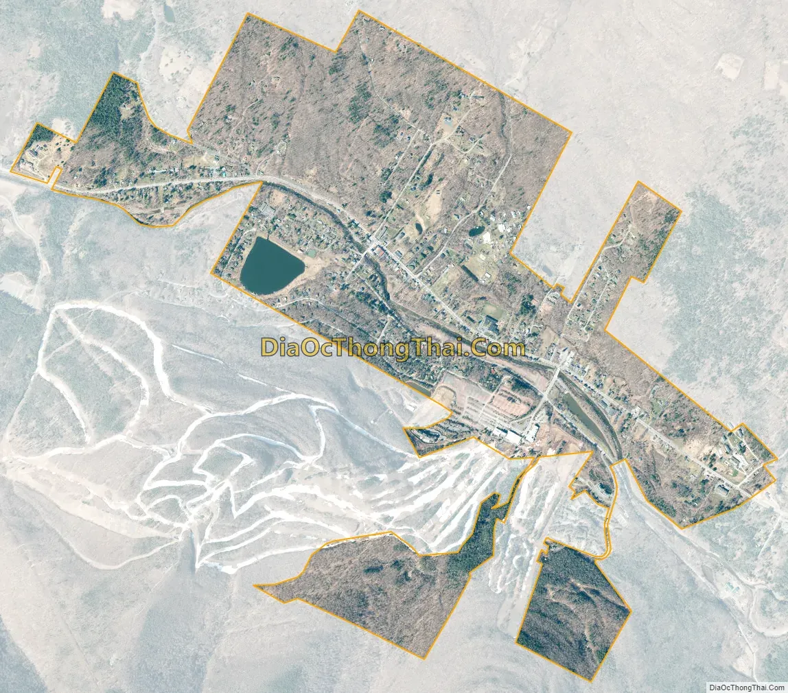
Hunter city Satellite Map
Geography
Hunter is located in western Greene County at 42°12′30″N 74°12′50″W / 42.20833°N 74.21389°W / 42.20833; -74.21389 (42.208549, -74.21398), within the Catskill Mountains, in the valley of Schoharie Creek. New York State Route 23A is the village’s Main Street, leading east 5 miles (8 km) to Tannersville and 21 miles (34 km) to Catskill. To the west NY 23A leads down Schoharie Creek 15 miles (24 km) to Prattsville.
According to the United States Census Bureau, the village has a total area of 1.8 square miles (4.6 km), of which 1.7 square miles (4.5 km) is land and 0.04 square miles (0.1 km), or 1.81%, is water.
See also
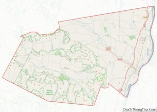
Map of New York State and its subdivision:- Albany
- Allegany
- Bronx
- Broome
- Cattaraugus
- Cayuga
- Chautauqua
- Chemung
- Chenango
- Clinton
- Columbia
- Cortland
- Delaware
- Dutchess
- Erie
- Essex
- Franklin
- Fulton
- Genesee
- Greene
- Hamilton
- Herkimer
- Jefferson
- Kings
- Lake Ontario
- Lewis
- Livingston
- Madison
- Monroe
- Montgomery
- Nassau
- New York
- Niagara
- Oneida
- Onondaga
- Ontario
- Orange
- Orleans
- Oswego
- Otsego
- Putnam
- Queens
- Rensselaer
- Richmond
- Rockland
- Saint Lawrence
- Saratoga
- Schenectady
- Schoharie
- Schuyler
- Seneca
- Steuben
- Suffolk
- Sullivan
- Tioga
- Tompkins
- Ulster
- Warren
- Washington
- Wayne
- Westchester
- Wyoming
- Yates
- Alabama
- Alaska
- Arizona
- Arkansas
- California
- Colorado
- Connecticut
- Delaware
- District of Columbia
- Florida
- Georgia
- Hawaii
- Idaho
- Illinois
- Indiana
- Iowa
- Kansas
- Kentucky
- Louisiana
- Maine
- Maryland
- Massachusetts
- Michigan
- Minnesota
- Mississippi
- Missouri
- Montana
- Nebraska
- Nevada
- New Hampshire
- New Jersey
- New Mexico
- New York
- North Carolina
- North Dakota
- Ohio
- Oklahoma
- Oregon
- Pennsylvania
- Rhode Island
- South Carolina
- South Dakota
- Tennessee
- Texas
- Utah
- Vermont
- Virginia
- Washington
- West Virginia
- Wisconsin
- Wyoming