Kennedy is a hamlet and census-designated place (CDP) in the town of Poland in Chautauqua County, New York, United States. The population was 465 at the 2010 census. From 1805–1841, the hamlet was known as Kennedy Mills, in honor of Thomas Ruston Kennedy, the founder of the local mills. The name was changed in 1841 to Kennedyville. Eleven years later, the name changed again, this time to Falconer in honor of Robert and William Falconer (the current Falconer was known as Worksburg until 1874). In 1860, on the request of an Erie Railroad official, the hamlet became Kennedy. The name was promptly placed on the railroad station constructed in 1861.
| Name: | Kennedy CDP |
|---|---|
| LSAD Code: | 57 |
| LSAD Description: | CDP (suffix) |
| State: | New York |
| County: | Chautauqua County |
| Elevation: | 1,270 ft (390 m) |
| Total Area: | 2.04 sq mi (5.29 km²) |
| Land Area: | 2.04 sq mi (5.29 km²) |
| Water Area: | 0.00 sq mi (0.00 km²) |
| Total Population: | 473 |
| Population Density: | 231.52/sq mi (89.40/km²) |
| ZIP code: | 14747 |
| Area code: | 716 |
| FIPS code: | 3639243 |
| GNISfeature ID: | 0954501 |
Online Interactive Map
Click on ![]() to view map in "full screen" mode.
to view map in "full screen" mode.
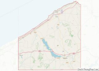
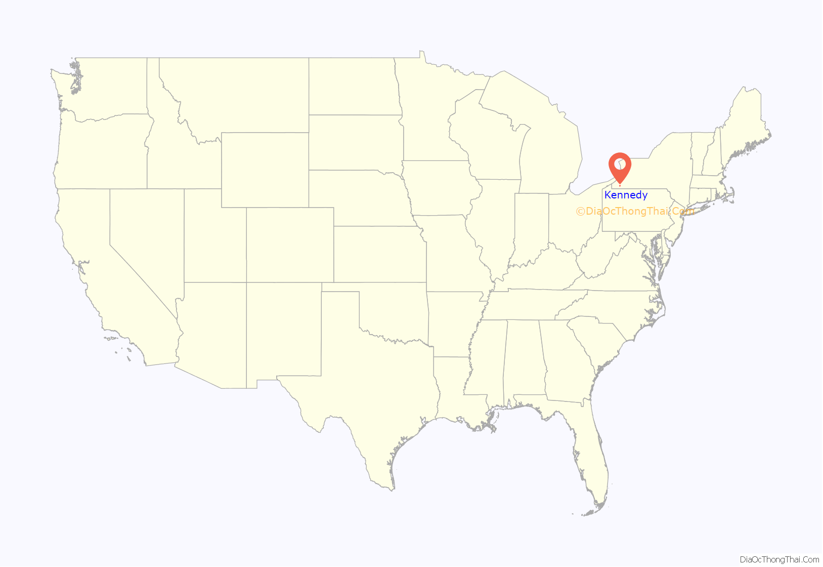
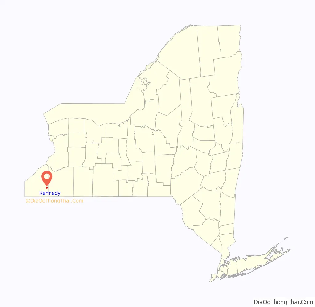
Kennedy location map. Where is Kennedy CDP?
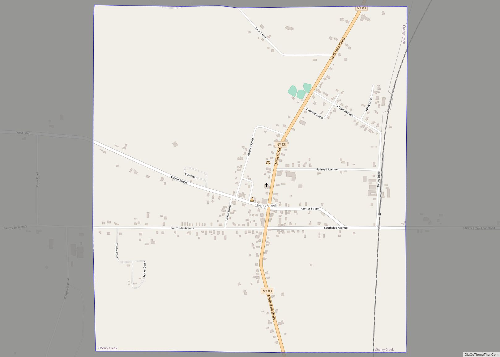
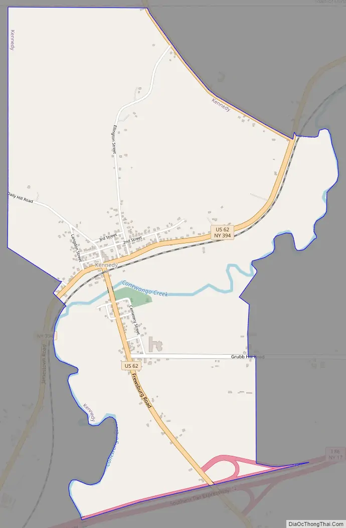
Kennedy Road Map
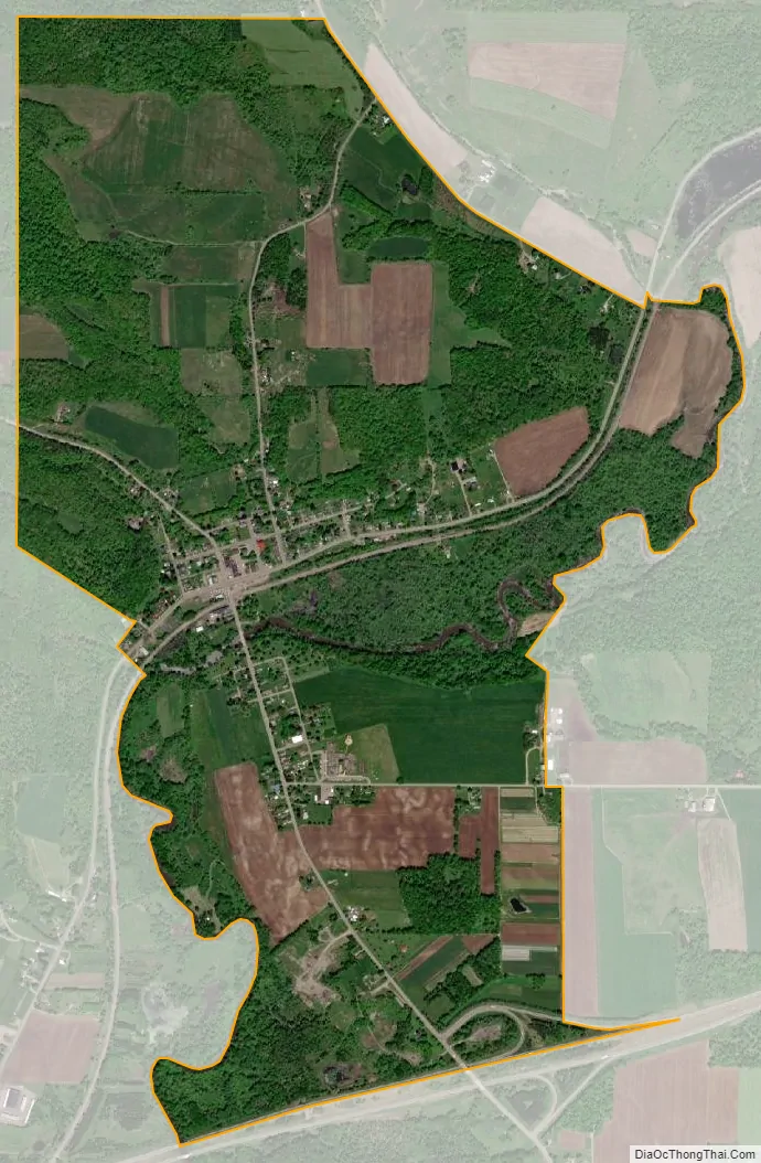
Kennedy city Satellite Map
Geography
Kennedy is located in the northeastern part of the town of Poland in eastern Chautauqua County, in the valley of Conewango Creek, a tributary of the Allegheny River. U.S. Route 62 intersects New York State Route 394 in the center of the hamlet on the north side of Conewango Creek. US 62 leads south 1 mile (1.6 km) to Exit 14 on the Southern Tier Expressway (Interstate 86 and New York State Route 17). From there it is 9 miles (14 km) west to Jamestown, the largest city in the region, and 24 miles (39 km) east to Salamanca.
According to the United States Census Bureau, Kennedy has a total area of 2.0 square miles (5.3 km), all land.
See also
Map of New York State and its subdivision:- Albany
- Allegany
- Bronx
- Broome
- Cattaraugus
- Cayuga
- Chautauqua
- Chemung
- Chenango
- Clinton
- Columbia
- Cortland
- Delaware
- Dutchess
- Erie
- Essex
- Franklin
- Fulton
- Genesee
- Greene
- Hamilton
- Herkimer
- Jefferson
- Kings
- Lake Ontario
- Lewis
- Livingston
- Madison
- Monroe
- Montgomery
- Nassau
- New York
- Niagara
- Oneida
- Onondaga
- Ontario
- Orange
- Orleans
- Oswego
- Otsego
- Putnam
- Queens
- Rensselaer
- Richmond
- Rockland
- Saint Lawrence
- Saratoga
- Schenectady
- Schoharie
- Schuyler
- Seneca
- Steuben
- Suffolk
- Sullivan
- Tioga
- Tompkins
- Ulster
- Warren
- Washington
- Wayne
- Westchester
- Wyoming
- Yates
- Alabama
- Alaska
- Arizona
- Arkansas
- California
- Colorado
- Connecticut
- Delaware
- District of Columbia
- Florida
- Georgia
- Hawaii
- Idaho
- Illinois
- Indiana
- Iowa
- Kansas
- Kentucky
- Louisiana
- Maine
- Maryland
- Massachusetts
- Michigan
- Minnesota
- Mississippi
- Missouri
- Montana
- Nebraska
- Nevada
- New Hampshire
- New Jersey
- New Mexico
- New York
- North Carolina
- North Dakota
- Ohio
- Oklahoma
- Oregon
- Pennsylvania
- Rhode Island
- South Carolina
- South Dakota
- Tennessee
- Texas
- Utah
- Vermont
- Virginia
- Washington
- West Virginia
- Wisconsin
- Wyoming