La Fargeville is a hamlet and census-designated place (CDP) in the town of Orleans in Jefferson County, New York, United States. The population was 608 at the 2010 census. The hamlet is named after John Frederick La Farge, one of the early proprietors of the town. La Fargeville was once a village, but dissolved its municipal corporation in 1922.
La Fargeville is north of Watertown. The small hamlet has one school, LaFargeville Central School, which serves Pre-K through 12th grade. La Fargeville Central School is ranked the 911th largest public school, 17,312th nationally, and has a total student population of 552.
| Name: | La Fargeville CDP |
|---|---|
| LSAD Code: | 57 |
| LSAD Description: | CDP (suffix) |
| State: | New York |
| County: | Jefferson County |
| Elevation: | 377 ft (115 m) |
| Total Area: | 3.37 sq mi (8.73 km²) |
| Land Area: | 3.31 sq mi (8.58 km²) |
| Water Area: | 0.06 sq mi (0.14 km²) |
| Total Population: | 537 |
| Population Density: | 162.04/sq mi (62.56/km²) |
| ZIP code: | 13656 |
| Area code: | 315 |
| FIPS code: | 3640233 |
| GNISfeature ID: | 0954846 |
Online Interactive Map
Click on ![]() to view map in "full screen" mode.
to view map in "full screen" mode.
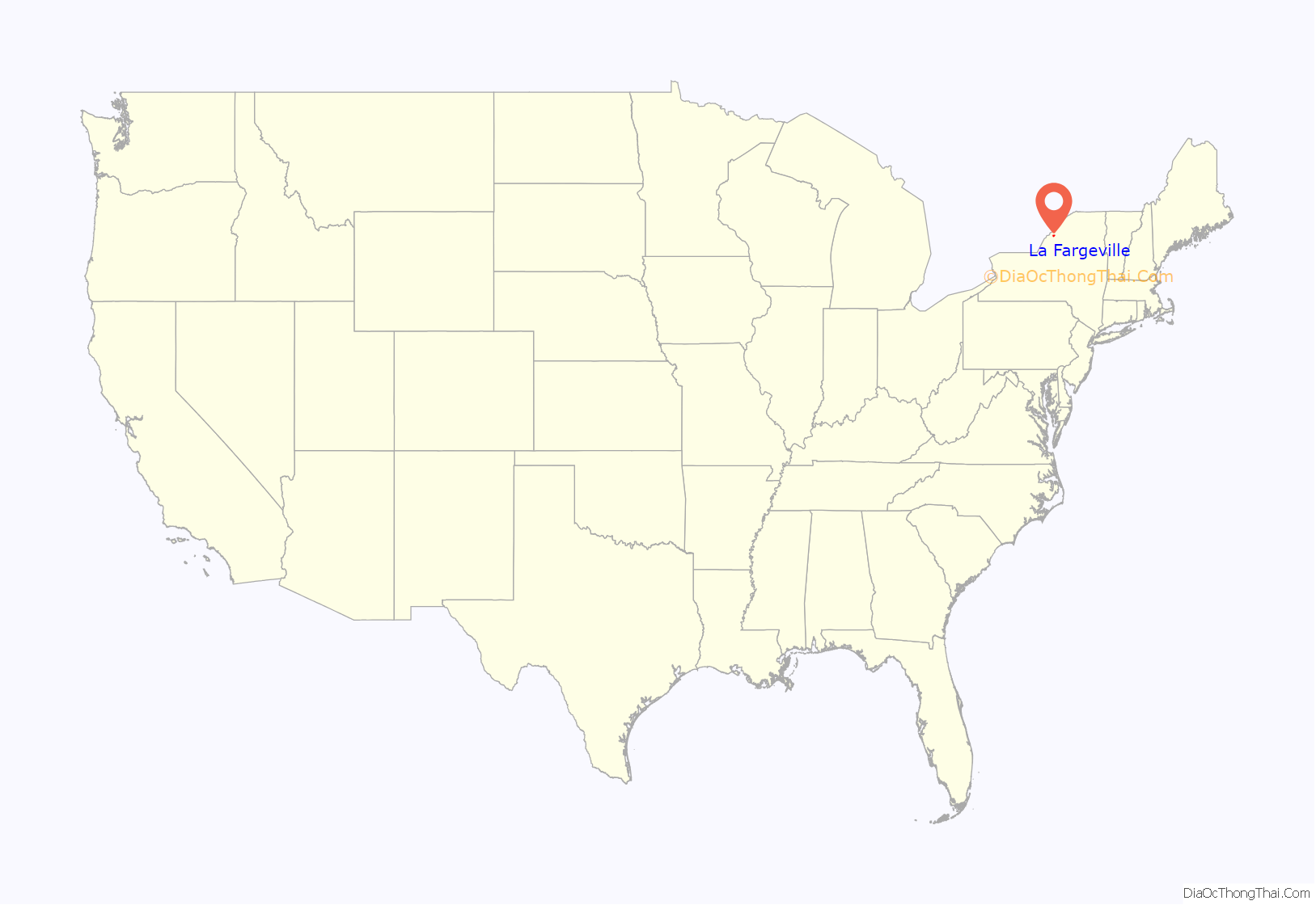
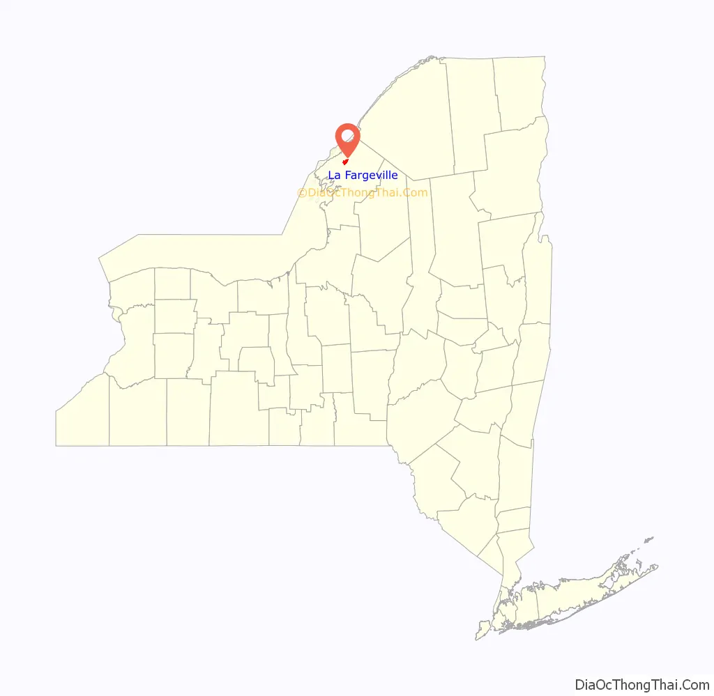
La Fargeville location map. Where is La Fargeville CDP?
History
The hamlet was previously called “Log Mills” when it was first settled around 1816, due to the construction of a sawmill for logs. John Frederick La Farge, a French immigrant who had Americanized his name from Jean Frédéric de la Farge, arrived in 1826. Already wealthy from an import business he had set up in New Orleans, he began in the 1820s to buy real estate and build houses in Jefferson County, speculation that eventually led to La Fargeville being named after him. His son John La Farge became a well-known artist.
By 1850, the population was about 300.
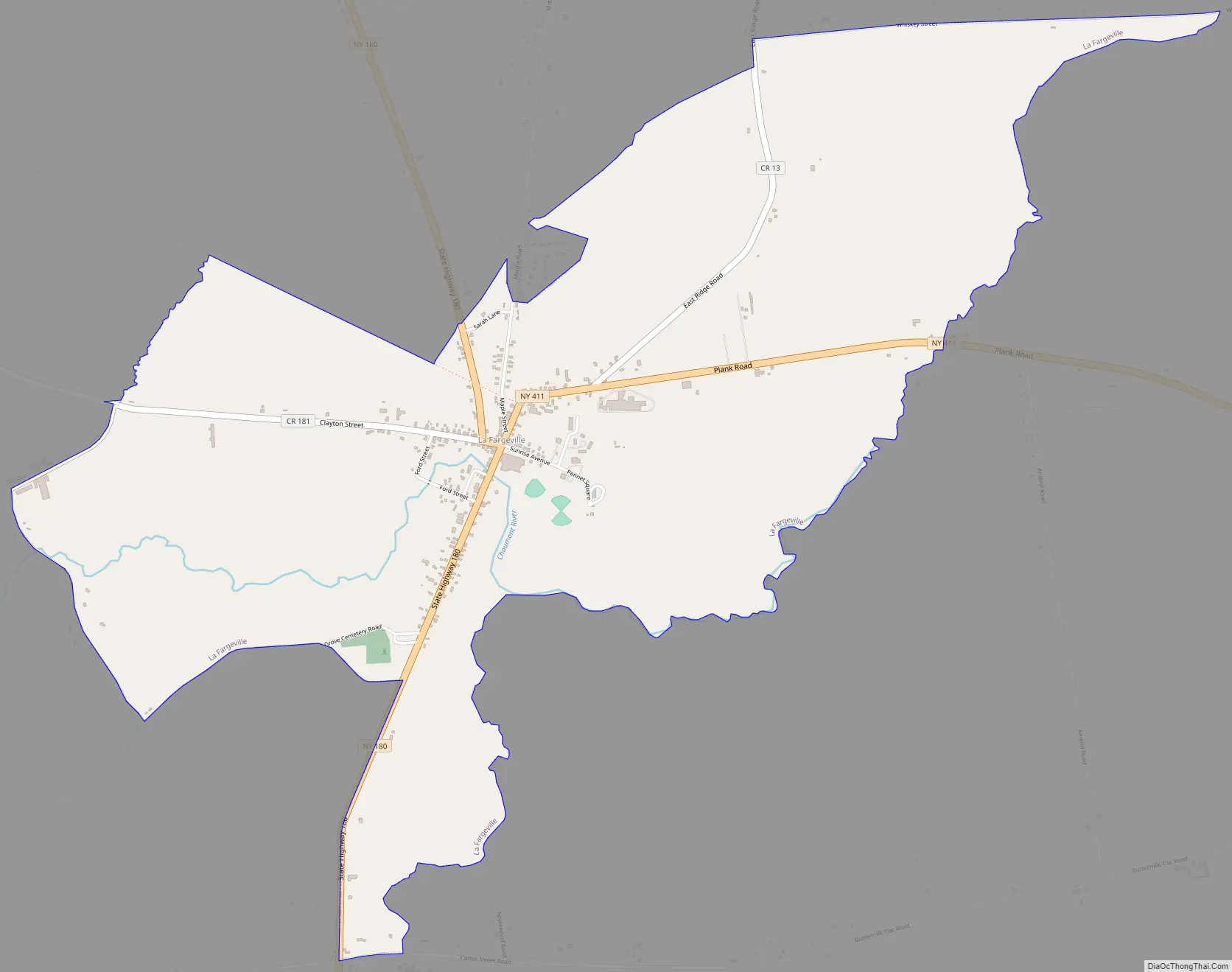
La Fargeville Road Map
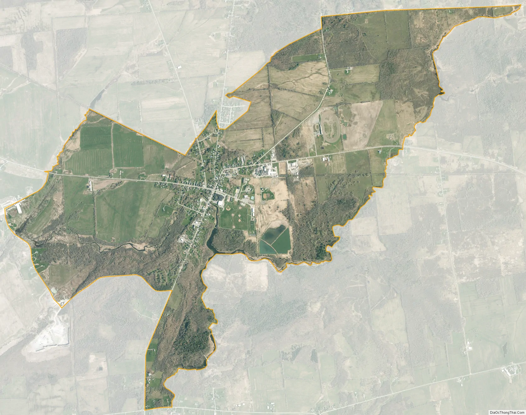
La Fargeville city Satellite Map
Geography
La Fargeville is in northern Jefferson County, in the central part of the town of Orleans. The Chaumont River, a southwest-flowing tributary of Lake Ontario, flows through the center of the community.
According to the United States Census Bureau, the CDP has a total area of 3.4 square miles (8.7 km), of which 3.3 square miles (8.6 km) are land and 0.04 square miles (0.1 km), or 1.62%, are water.
La Fargeville is at the junction of New York State Route 180 and New York State Route 411 (Plank Road). NY-180 leads north 7 miles (11 km) to Fishers Landing on the St. Lawrence River and south 14 miles (23 km) to Dexter at the mouth of the Black River into Lake Ontario. NY-411 leads east 4 miles (6 km) to Interstate 81 and 9 miles (14 km) to Theresa. County Road 181 (Plank Street) serves the hamlet from the west, leading 7 miles (11 km) to Clayton on the St. Lawrence. Watertown, the Jefferson county seat, is 17 miles (27 km) south of La Fargeville via Routes 180 and 12.
See also
Map of New York State and its subdivision:- Albany
- Allegany
- Bronx
- Broome
- Cattaraugus
- Cayuga
- Chautauqua
- Chemung
- Chenango
- Clinton
- Columbia
- Cortland
- Delaware
- Dutchess
- Erie
- Essex
- Franklin
- Fulton
- Genesee
- Greene
- Hamilton
- Herkimer
- Jefferson
- Kings
- Lake Ontario
- Lewis
- Livingston
- Madison
- Monroe
- Montgomery
- Nassau
- New York
- Niagara
- Oneida
- Onondaga
- Ontario
- Orange
- Orleans
- Oswego
- Otsego
- Putnam
- Queens
- Rensselaer
- Richmond
- Rockland
- Saint Lawrence
- Saratoga
- Schenectady
- Schoharie
- Schuyler
- Seneca
- Steuben
- Suffolk
- Sullivan
- Tioga
- Tompkins
- Ulster
- Warren
- Washington
- Wayne
- Westchester
- Wyoming
- Yates
- Alabama
- Alaska
- Arizona
- Arkansas
- California
- Colorado
- Connecticut
- Delaware
- District of Columbia
- Florida
- Georgia
- Hawaii
- Idaho
- Illinois
- Indiana
- Iowa
- Kansas
- Kentucky
- Louisiana
- Maine
- Maryland
- Massachusetts
- Michigan
- Minnesota
- Mississippi
- Missouri
- Montana
- Nebraska
- Nevada
- New Hampshire
- New Jersey
- New Mexico
- New York
- North Carolina
- North Dakota
- Ohio
- Oklahoma
- Oregon
- Pennsylvania
- Rhode Island
- South Carolina
- South Dakota
- Tennessee
- Texas
- Utah
- Vermont
- Virginia
- Washington
- West Virginia
- Wisconsin
- Wyoming


