Lakewood is a village in Chautauqua County, New York, United States. The population was 2,993 at the 2020 census. The village is in the northern part of the town of Busti.
| Name: | Lakewood village |
|---|---|
| LSAD Code: | 47 |
| LSAD Description: | village (suffix) |
| State: | New York |
| County: | Chautauqua County |
| Elevation: | 1,325 ft (404 m) |
| Total Area: | 1.96 sq mi (5.08 km²) |
| Land Area: | 1.96 sq mi (5.08 km²) |
| Water Area: | 0.00 sq mi (0.00 km²) |
| Total Population: | 3,002 |
| Population Density: | 1,531.63/sq mi (591.37/km²) |
| ZIP code: | 14750 |
| Area code: | 716 |
| FIPS code: | 3641069 |
| GNISfeature ID: | 0954993 |
| Website: | lakewoodny.com |
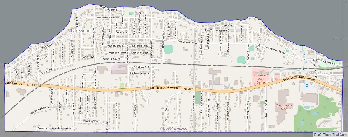
Online Interactive Map
Click on ![]() to view map in "full screen" mode.
to view map in "full screen" mode.
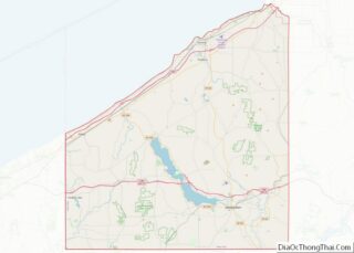
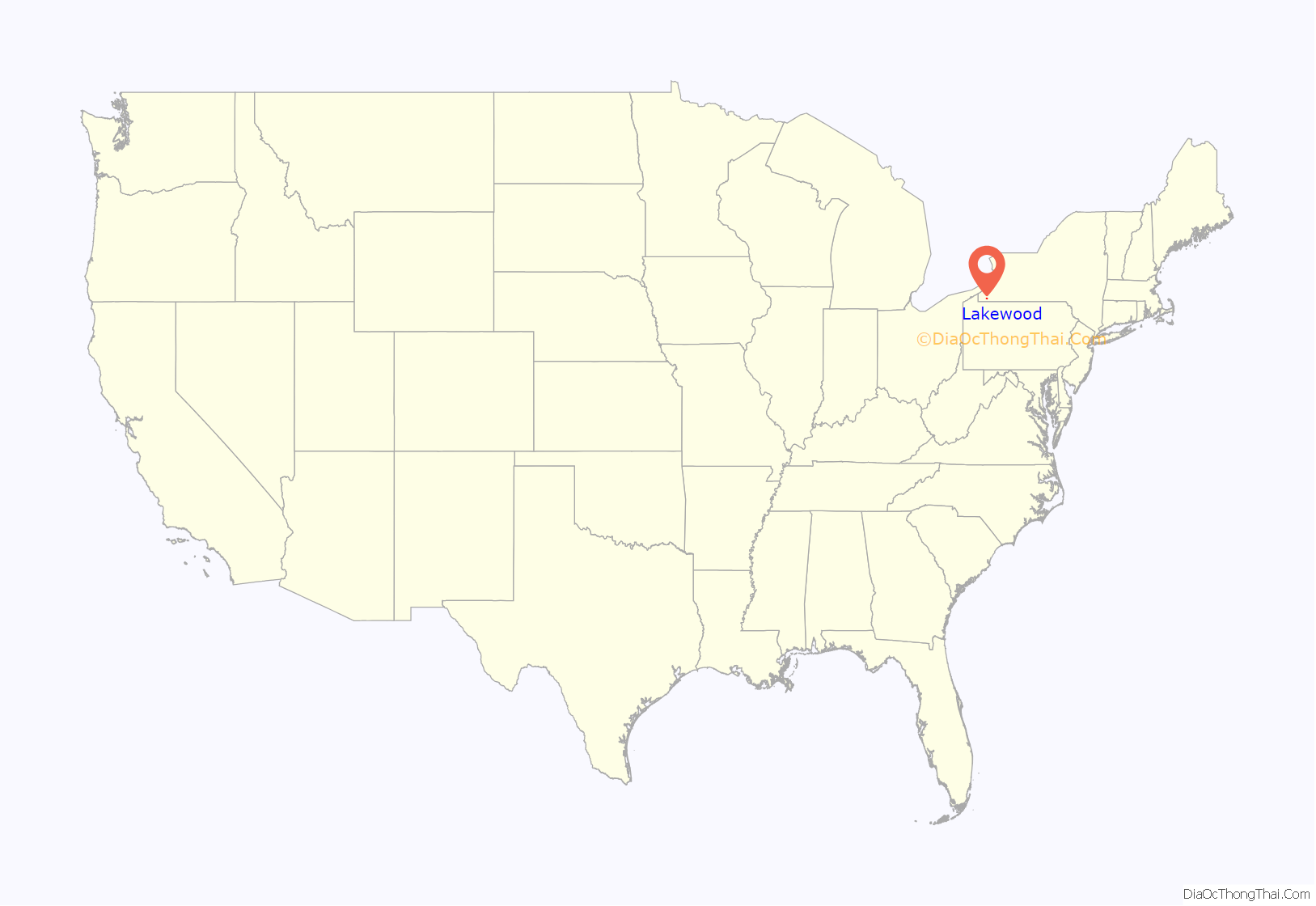
Lakewood location map. Where is Lakewood village?
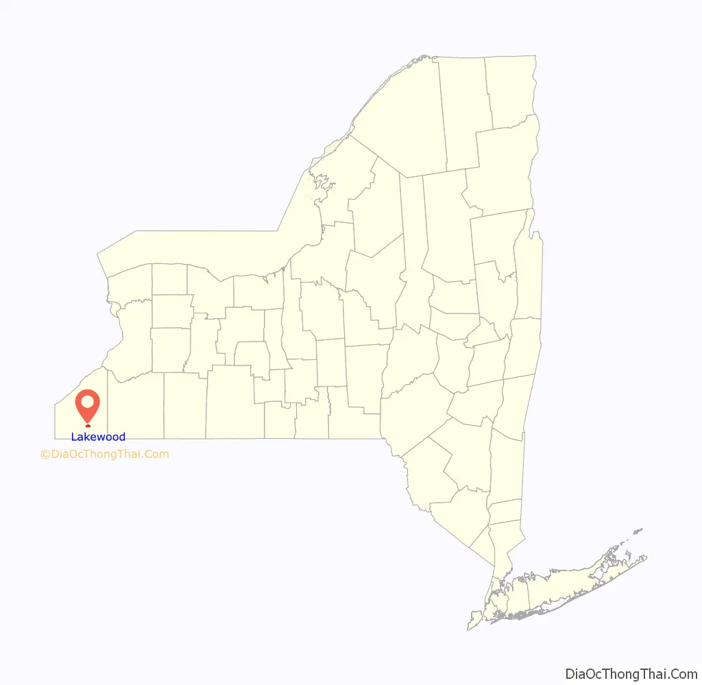
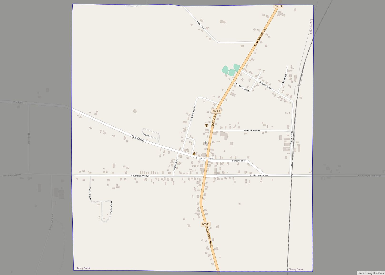
Lakewood Road Map
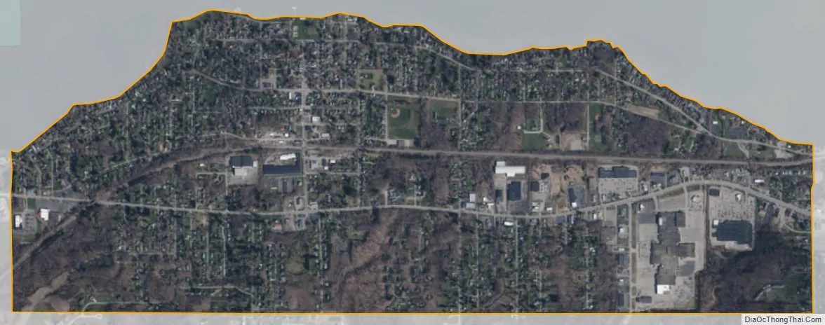
Lakewood city Satellite Map
Geography
Lakewood is located at 42°6′3″N 79°19′19″W / 42.10083°N 79.32194°W / 42.10083; -79.32194 (42.100929, -79.321919), at the south end of Chautauqua Lake. New York State Route 394 passes through the village as Fairmount Avenue, leading east 5 miles (8 km) to the center of Jamestown and northwest 6 miles (10 km) to Interstate 86 where it crosses Chautauqua Lake.
According to the United States Census Bureau, the village has a total area of 2.0 square miles (5.1 km), all land.
See also
Map of New York State and its subdivision:- Albany
- Allegany
- Bronx
- Broome
- Cattaraugus
- Cayuga
- Chautauqua
- Chemung
- Chenango
- Clinton
- Columbia
- Cortland
- Delaware
- Dutchess
- Erie
- Essex
- Franklin
- Fulton
- Genesee
- Greene
- Hamilton
- Herkimer
- Jefferson
- Kings
- Lake Ontario
- Lewis
- Livingston
- Madison
- Monroe
- Montgomery
- Nassau
- New York
- Niagara
- Oneida
- Onondaga
- Ontario
- Orange
- Orleans
- Oswego
- Otsego
- Putnam
- Queens
- Rensselaer
- Richmond
- Rockland
- Saint Lawrence
- Saratoga
- Schenectady
- Schoharie
- Schuyler
- Seneca
- Steuben
- Suffolk
- Sullivan
- Tioga
- Tompkins
- Ulster
- Warren
- Washington
- Wayne
- Westchester
- Wyoming
- Yates
- Alabama
- Alaska
- Arizona
- Arkansas
- California
- Colorado
- Connecticut
- Delaware
- District of Columbia
- Florida
- Georgia
- Hawaii
- Idaho
- Illinois
- Indiana
- Iowa
- Kansas
- Kentucky
- Louisiana
- Maine
- Maryland
- Massachusetts
- Michigan
- Minnesota
- Mississippi
- Missouri
- Montana
- Nebraska
- Nevada
- New Hampshire
- New Jersey
- New Mexico
- New York
- North Carolina
- North Dakota
- Ohio
- Oklahoma
- Oregon
- Pennsylvania
- Rhode Island
- South Carolina
- South Dakota
- Tennessee
- Texas
- Utah
- Vermont
- Virginia
- Washington
- West Virginia
- Wisconsin
- Wyoming