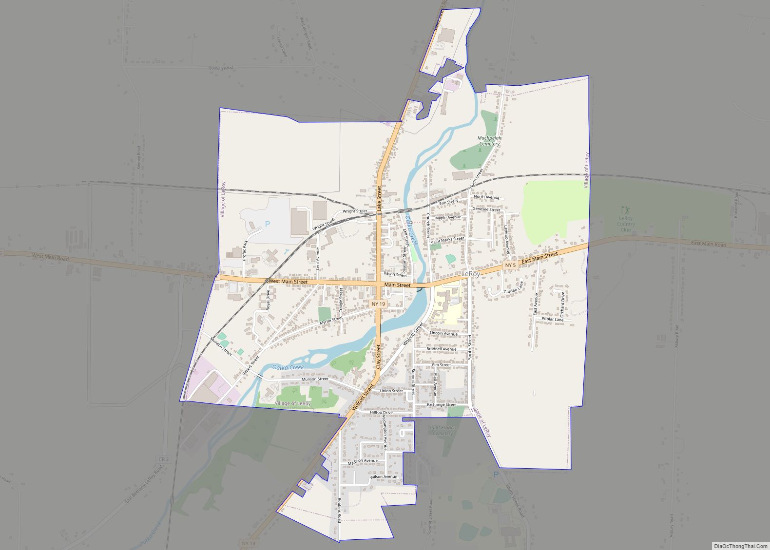
Le Roy is a village in Genesee County, New York, United States. The population was 4,391 at the 2010 census. The village lies in the center of the town of Le Roy at the intersection of State Routes 5 and 19.
| Name: | Le Roy village |
|---|---|
| LSAD Code: | 47 |
| LSAD Description: | village (suffix) |
| State: | New York |
| County: | Genesee County |
| Incorporated: | 1834 |
| Total Area: | 2.69 sq mi (6.97 km²) |
| Land Area: | 2.69 sq mi (6.97 km²) |
| Water Area: | 0.00 sq mi (0.00 km²) |
| Total Population: | 4,300 |
| Population Density: | 1,598.51/sq mi (617.09/km²) |
| ZIP code: | 14482 |
| Area code: | 585 |
| FIPS code: | 3642026 |
| GNISfeature ID: | 0955133 |
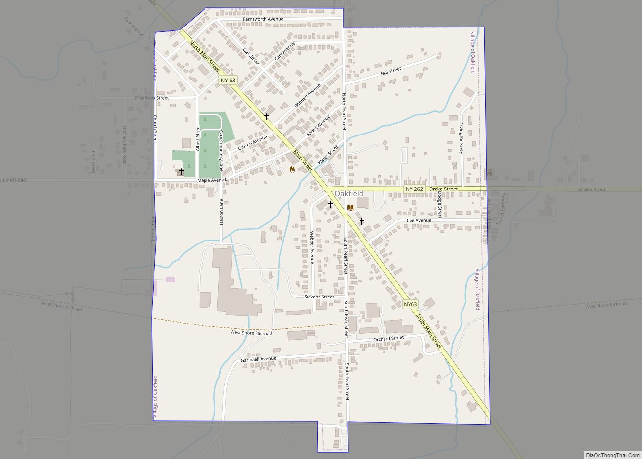
Online Interactive Map
Click on ![]() to view map in "full screen" mode.
to view map in "full screen" mode.
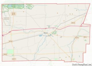
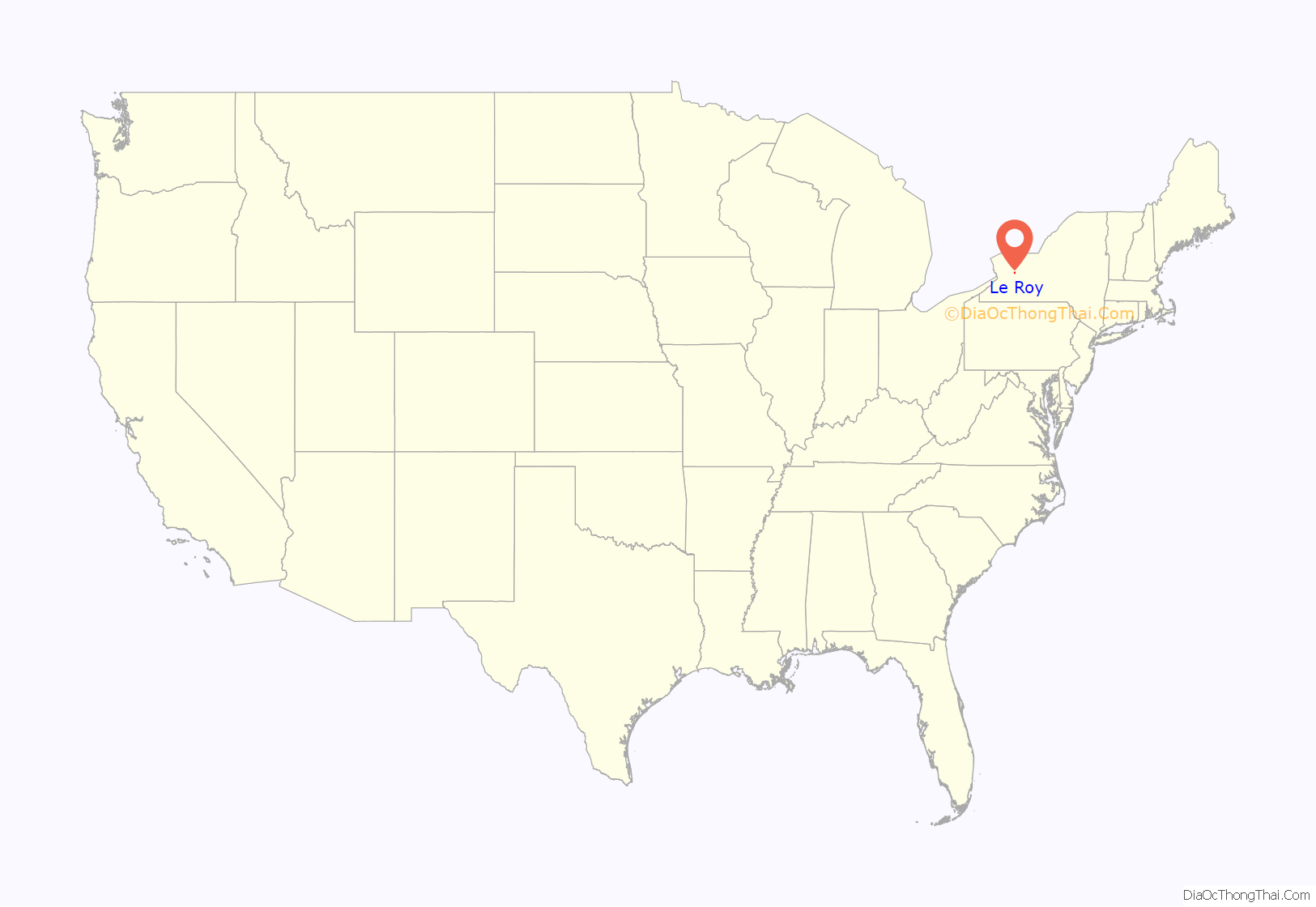
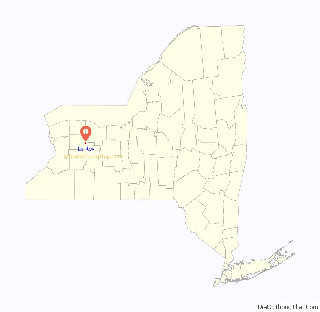
Le Roy location map. Where is Le Roy village?
History
Prior to its incorporation in 1834, the first settlements in the village were to the east of the present village site.
The village was an early center for the manufacture of patent medicines by companies such as S. C. Wells & Co. and household chemicals. Products produced in Le Roy included Mustarine, a patent mustard-plaster compound, and Rough On Rats, a rodent poison. Earliest businesses in the village are the Bank of LeRoy (founded 1834, now Bank of America) and the Gazette-News newspaper (defunct 1993). Le Roy is the birthplace of Jell-O.
Le Roy holds the Oatka Festival every summer, the tradition originating in 1989. This festival includes celebration of the rich culture and history of the local area with vendors and several local businesses and restaurants participating each year.
The First Presbyterian Church of Le Roy, Keeney House, Machpelah Cemetery, Le Roy House and Union Free School, Augustus S. Tyron House, U.S. Post Office, and Marion Steam Shovel are listed on the National Register of Historic Places.
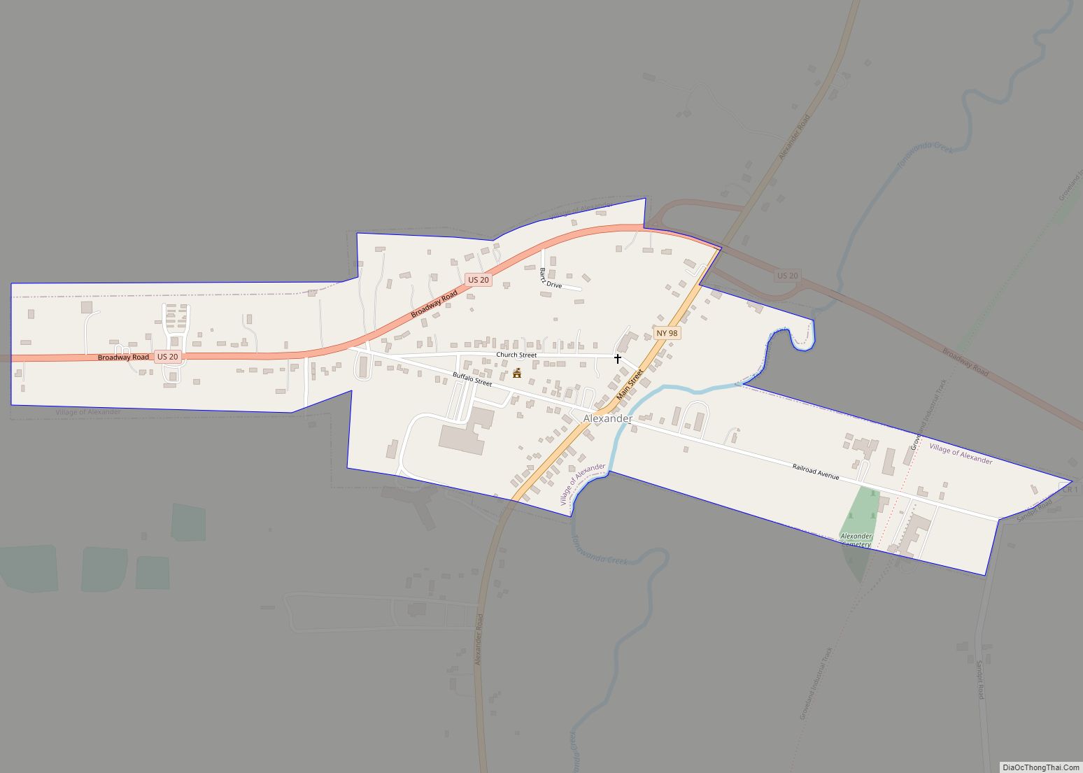
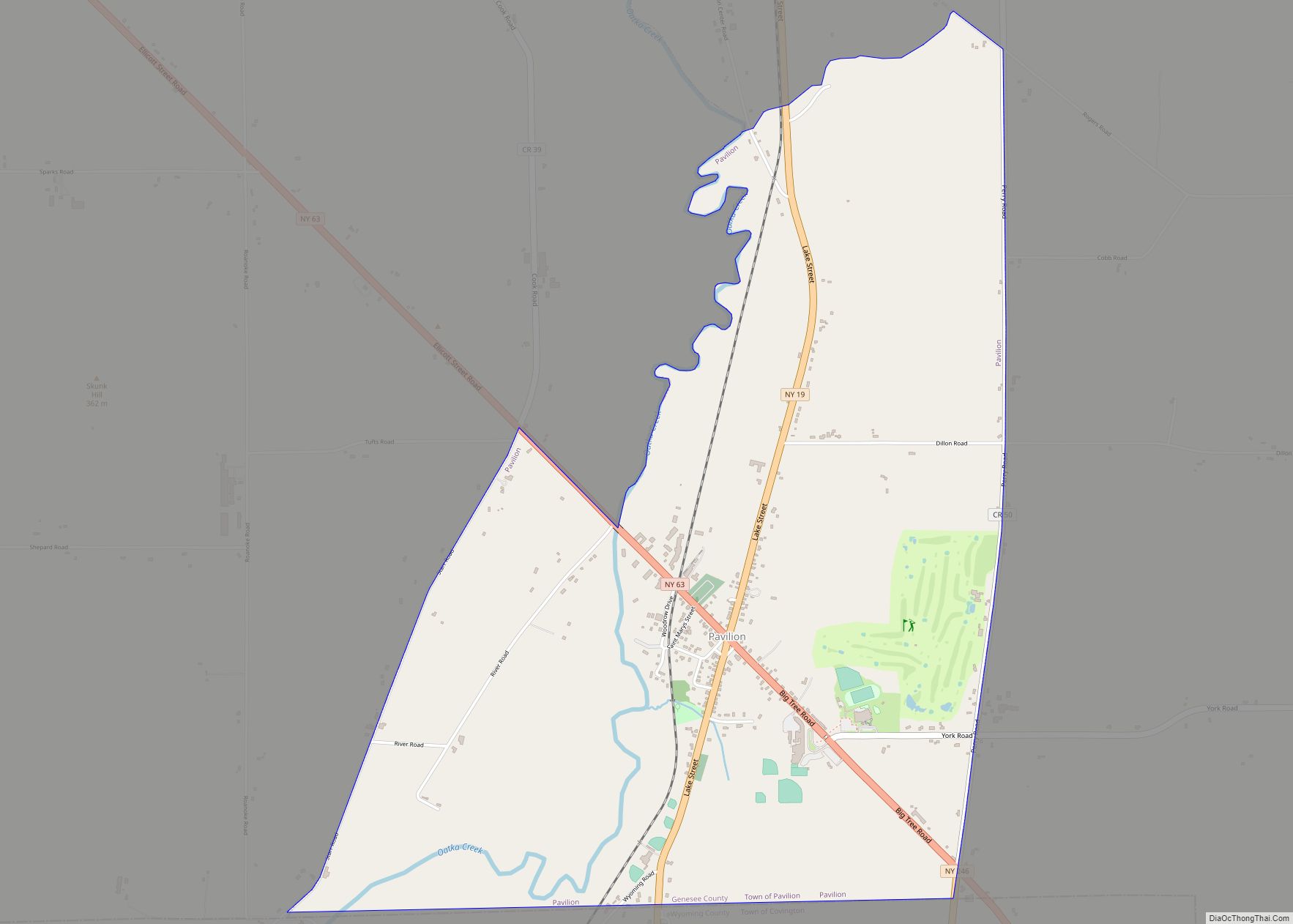
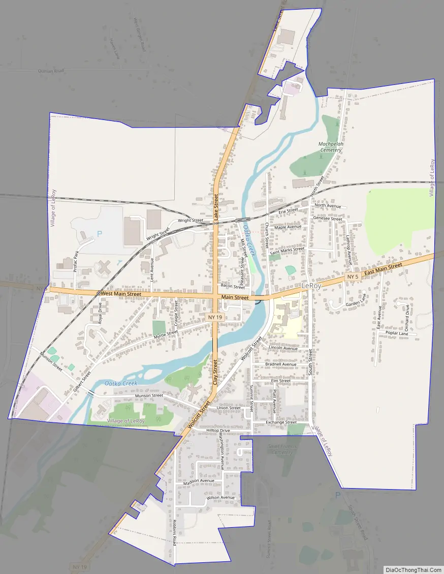
Le Roy Road Map
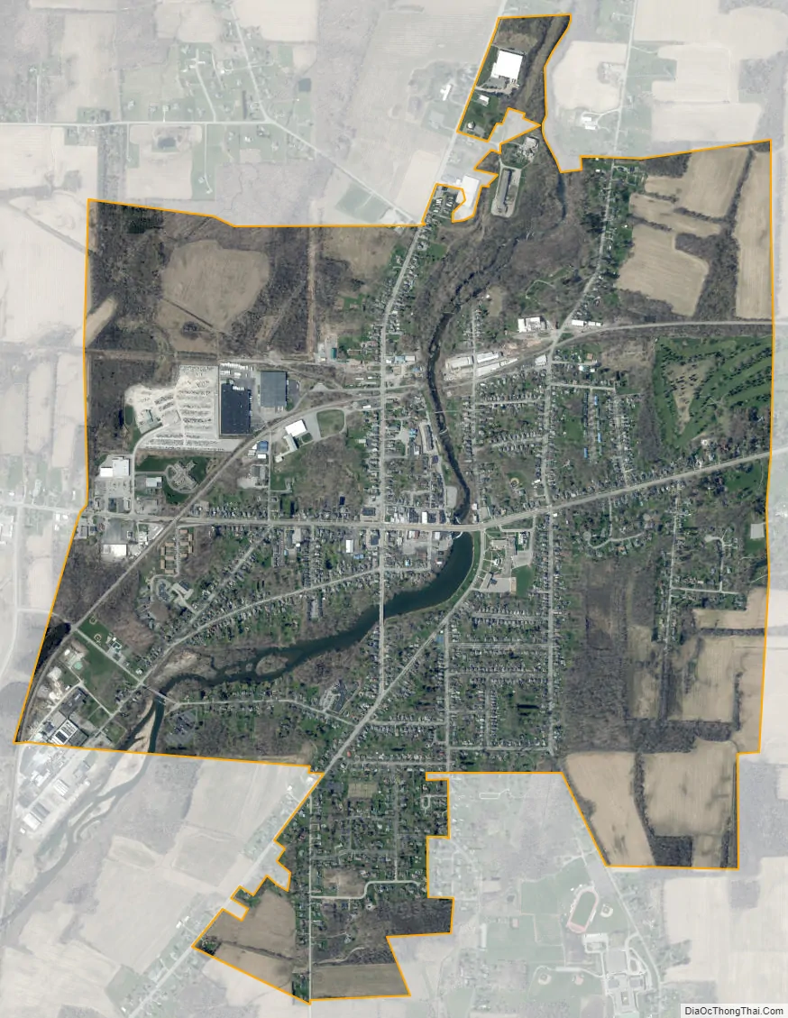
Le Roy city Satellite Map
Geography
Le Roy is located in eastern Genesee County at 42°58′32″N 77°59′26″W / 42.97556°N 77.99056°W / 42.97556; -77.99056 (42.975656, -77.990792), southwest of the center of the town of Elba.
According to the United States Census Bureau, the village has a total area of 2.7 sq mi (7.0 km), of which 1.65 acres (6,678 m) is water.
Oatka Creek, a tributary of the Genesee River, flows through the village.
New York State Route 19 intersects New York State Route 5 in LeRoy. NY 19 (Lake Street to the north, Clay Street to the south) leads north 8 miles (13 km) to Bergen and south 19 miles (31 km) to Warsaw. NY 5 (Main Street) leads east 7 miles (11 km) to Caledonia and west 10 miles (16 km) to Batavia, the Genesee County seat. Interstate 90, the New York State Thruway, passes north of Le Roy, with access from Exit 47 (I-490/NY 19) 4.5 miles (7.2 km) north of the village.
See also
Map of New York State and its subdivision:- Albany
- Allegany
- Bronx
- Broome
- Cattaraugus
- Cayuga
- Chautauqua
- Chemung
- Chenango
- Clinton
- Columbia
- Cortland
- Delaware
- Dutchess
- Erie
- Essex
- Franklin
- Fulton
- Genesee
- Greene
- Hamilton
- Herkimer
- Jefferson
- Kings
- Lake Ontario
- Lewis
- Livingston
- Madison
- Monroe
- Montgomery
- Nassau
- New York
- Niagara
- Oneida
- Onondaga
- Ontario
- Orange
- Orleans
- Oswego
- Otsego
- Putnam
- Queens
- Rensselaer
- Richmond
- Rockland
- Saint Lawrence
- Saratoga
- Schenectady
- Schoharie
- Schuyler
- Seneca
- Steuben
- Suffolk
- Sullivan
- Tioga
- Tompkins
- Ulster
- Warren
- Washington
- Wayne
- Westchester
- Wyoming
- Yates
- Alabama
- Alaska
- Arizona
- Arkansas
- California
- Colorado
- Connecticut
- Delaware
- District of Columbia
- Florida
- Georgia
- Hawaii
- Idaho
- Illinois
- Indiana
- Iowa
- Kansas
- Kentucky
- Louisiana
- Maine
- Maryland
- Massachusetts
- Michigan
- Minnesota
- Mississippi
- Missouri
- Montana
- Nebraska
- Nevada
- New Hampshire
- New Jersey
- New Mexico
- New York
- North Carolina
- North Dakota
- Ohio
- Oklahoma
- Oregon
- Pennsylvania
- Rhode Island
- South Carolina
- South Dakota
- Tennessee
- Texas
- Utah
- Vermont
- Virginia
- Washington
- West Virginia
- Wisconsin
- Wyoming