Warsaw is a village in Wyoming County, New York, United States. It is the county seat of Wyoming County and lies inside the Town of Warsaw. The village of Warsaw is near the center of the town in a valley. The population was 3,473 at the 2010 census. A branch of Genesee Community College is in Warsaw.
| Name: | Warsaw village |
|---|---|
| LSAD Code: | 47 |
| LSAD Description: | village (suffix) |
| State: | New York |
| County: | Wyoming County |
| Incorporated: | April 17, 1843 (1843-04-17) |
| Elevation: | 1,014 ft (309 m) |
| Total Area: | 4.11 sq mi (10.63 km²) |
| Land Area: | 4.11 sq mi (10.63 km²) |
| Water Area: | 0.00 sq mi (0.00 km²) |
| Total Population: | 3,646 |
| Population Density: | 887.97/sq mi (342.86/km²) |
| ZIP code: | 14569 |
| Area code: | 585 |
| FIPS code: | 3678333 |
| GNISfeature ID: | 0968827 |
| Website: | www.villageofwarsaw.org |
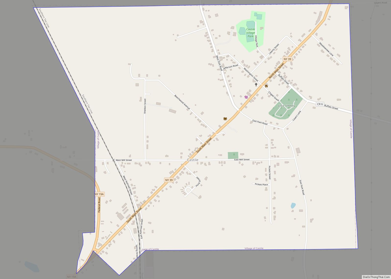
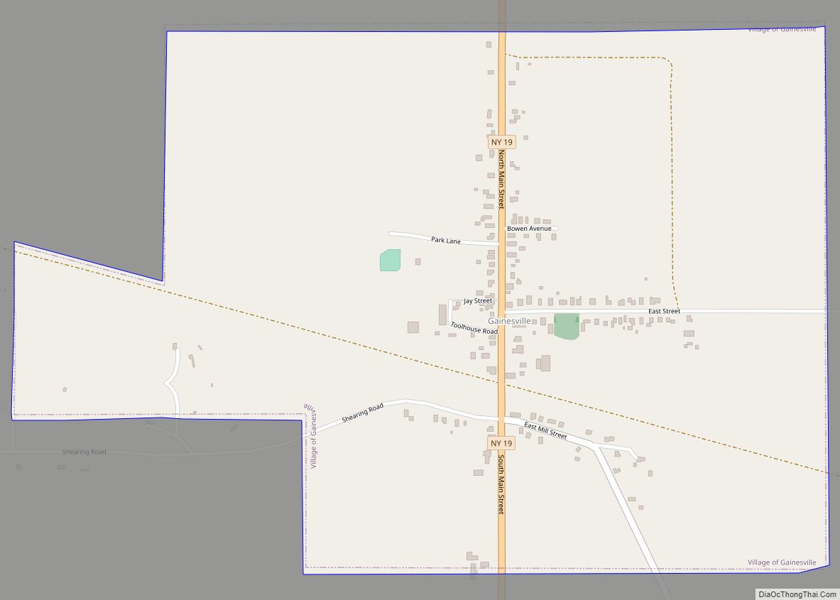
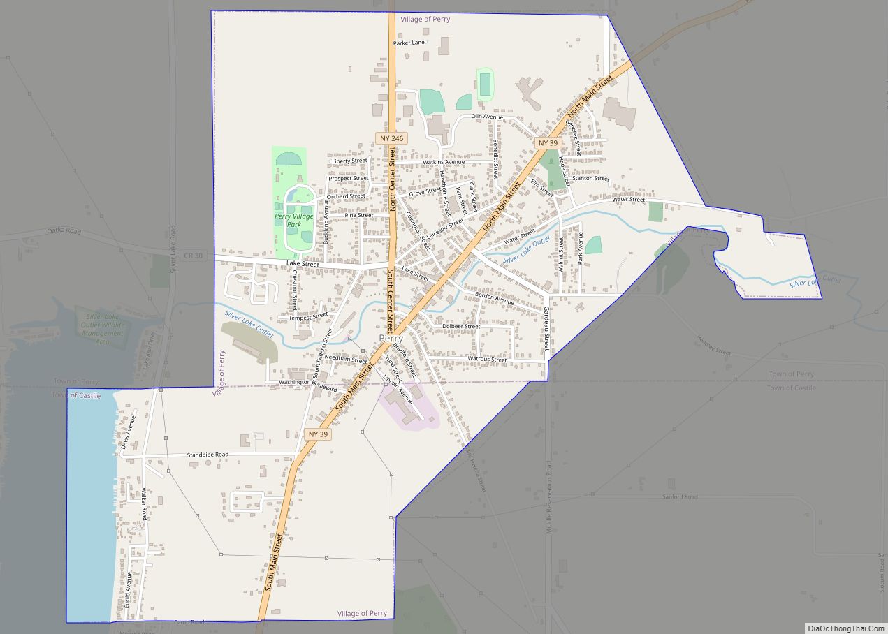
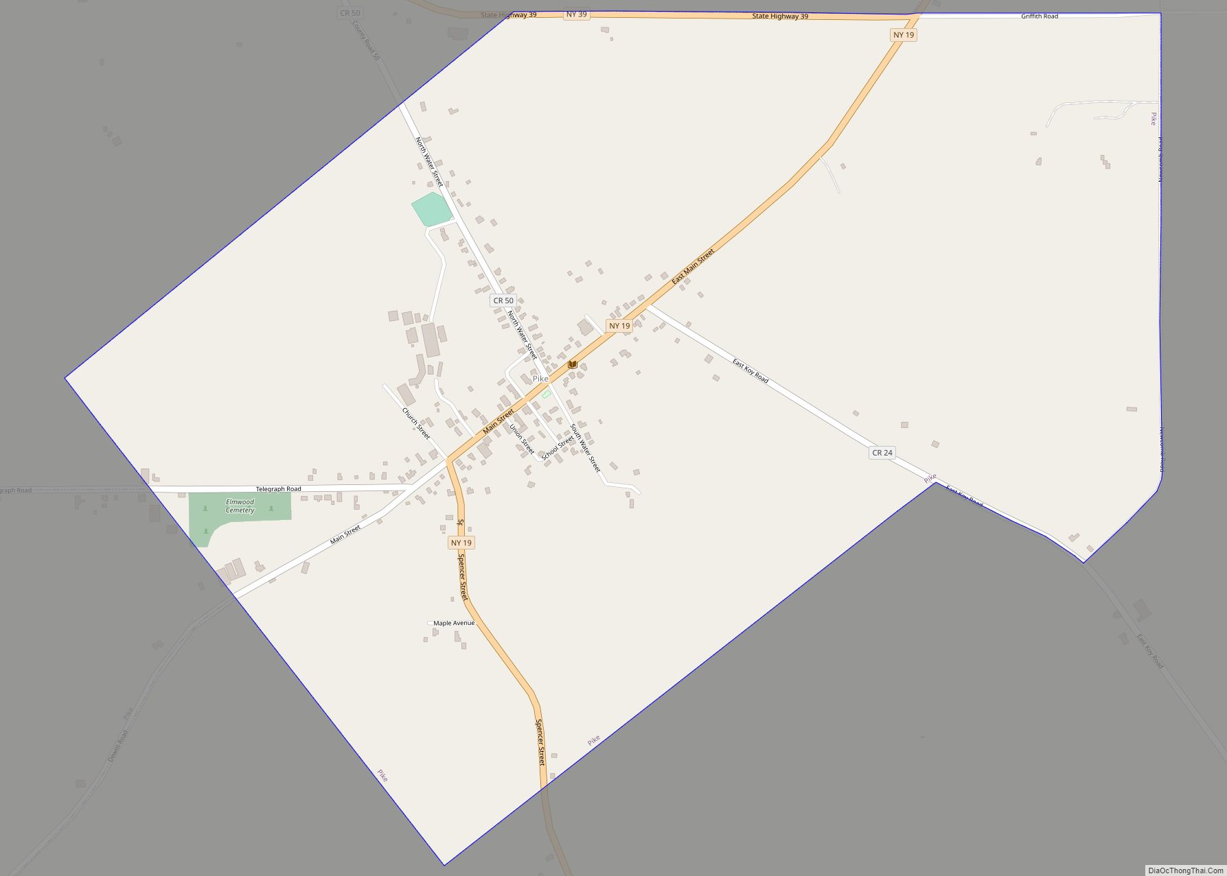
Online Interactive Map
Click on ![]() to view map in "full screen" mode.
to view map in "full screen" mode.
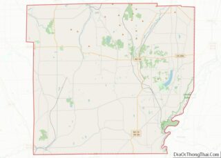
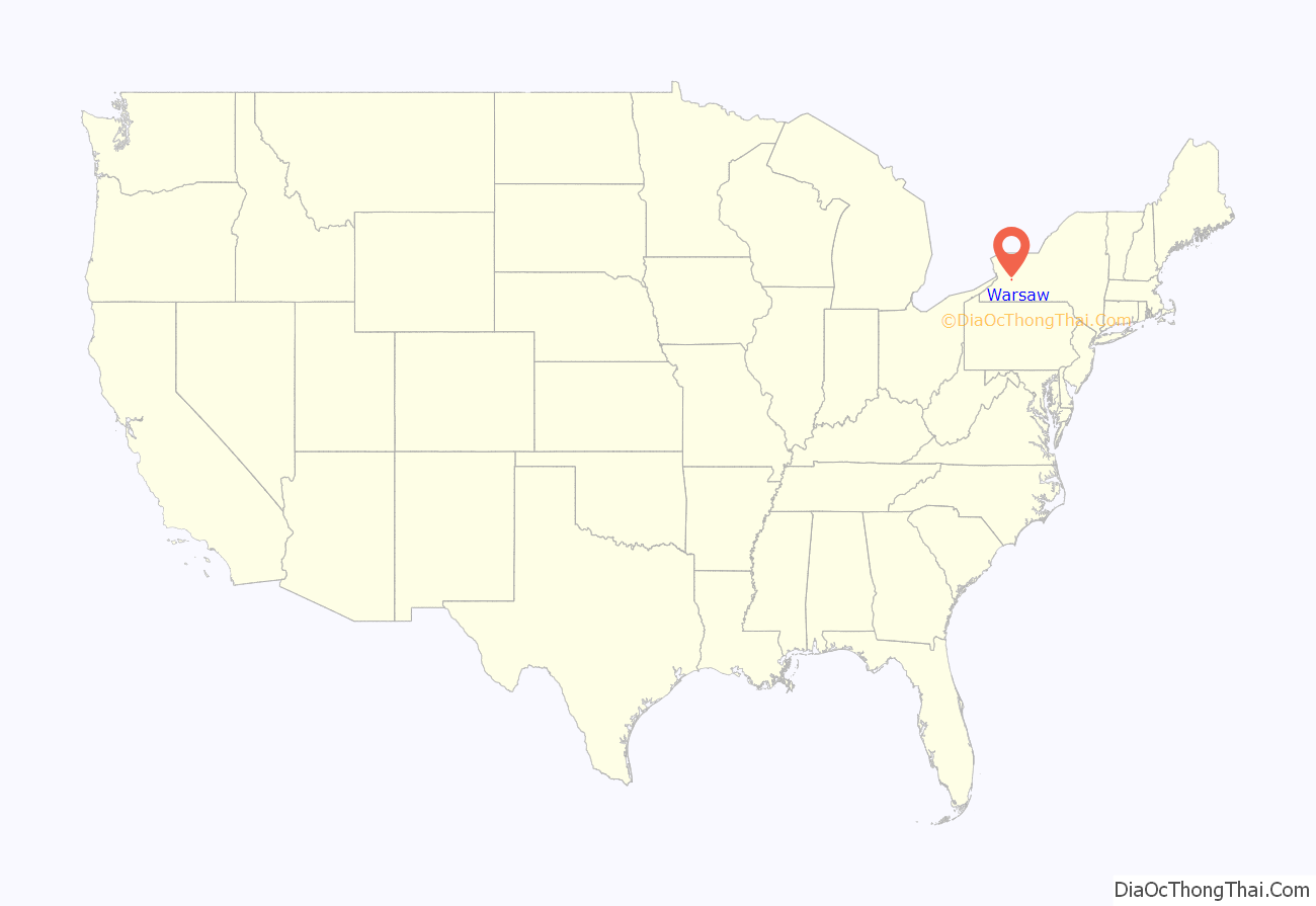
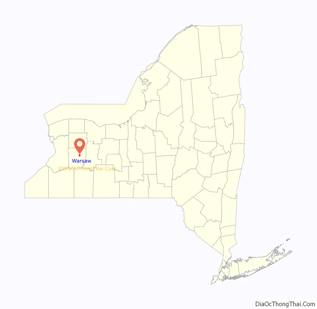
Warsaw location map. Where is Warsaw village?
History
The village of Warsaw was incorporated in 1843. The central core of the village is known as the Monument Circle Historic District and was listed on the National Register of Historic Places in 1992. Also on the National Register of Historic Places are the Warsaw Downtown Historic District, Seth M. Gates House, Trinity Church, U.S. Post Office, and Warsaw Academy.
Abolitionism
In the decades before the American Civil War, Warsaw was a center of abolitionist sentiment and activity. Warsaw’s local anti-slavery society was formed in 1833, the same year as the American Anti-Slavery Society. Several homes and churches are documented to have participated in the Underground Railroad. In November 1839 the anti-slavery Liberty Party was formed in a meeting at Warsaw’s Presbyterian Church. The area sent abolitionists Seth M. Gates and Augustus Frank to serve in the United States Congress. An anti-slavery newspaper called The American Citizen was published in Warsaw.
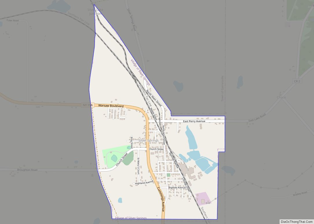
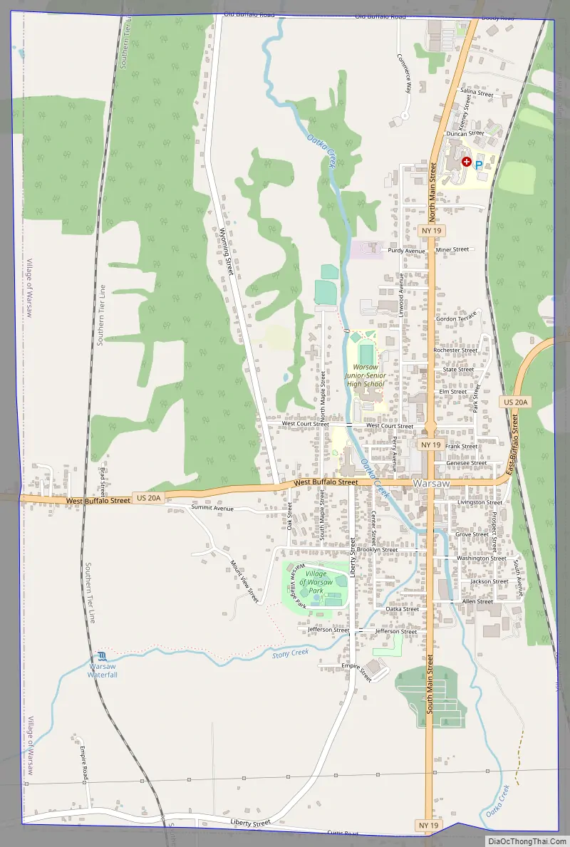
Warsaw Road Map
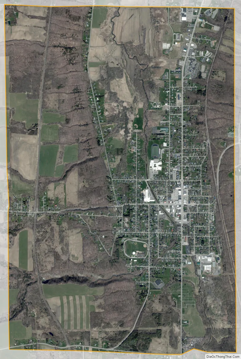
Warsaw city Satellite Map
Geography
According to the United States Census Bureau, the village has a total area of 4.1 square miles (10.7 km), all land.
The Oatka Creek flows northward through the village, which is located in the Wyoming Valley.
See also
Map of New York State and its subdivision:- Albany
- Allegany
- Bronx
- Broome
- Cattaraugus
- Cayuga
- Chautauqua
- Chemung
- Chenango
- Clinton
- Columbia
- Cortland
- Delaware
- Dutchess
- Erie
- Essex
- Franklin
- Fulton
- Genesee
- Greene
- Hamilton
- Herkimer
- Jefferson
- Kings
- Lake Ontario
- Lewis
- Livingston
- Madison
- Monroe
- Montgomery
- Nassau
- New York
- Niagara
- Oneida
- Onondaga
- Ontario
- Orange
- Orleans
- Oswego
- Otsego
- Putnam
- Queens
- Rensselaer
- Richmond
- Rockland
- Saint Lawrence
- Saratoga
- Schenectady
- Schoharie
- Schuyler
- Seneca
- Steuben
- Suffolk
- Sullivan
- Tioga
- Tompkins
- Ulster
- Warren
- Washington
- Wayne
- Westchester
- Wyoming
- Yates
- Alabama
- Alaska
- Arizona
- Arkansas
- California
- Colorado
- Connecticut
- Delaware
- District of Columbia
- Florida
- Georgia
- Hawaii
- Idaho
- Illinois
- Indiana
- Iowa
- Kansas
- Kentucky
- Louisiana
- Maine
- Maryland
- Massachusetts
- Michigan
- Minnesota
- Mississippi
- Missouri
- Montana
- Nebraska
- Nevada
- New Hampshire
- New Jersey
- New Mexico
- New York
- North Carolina
- North Dakota
- Ohio
- Oklahoma
- Oregon
- Pennsylvania
- Rhode Island
- South Carolina
- South Dakota
- Tennessee
- Texas
- Utah
- Vermont
- Virginia
- Washington
- West Virginia
- Wisconsin
- Wyoming