Lindenhurst is a village in Suffolk County, New York, United States, on the southern shore of Long Island in the town of Babylon. The population was 27,253 at the 2010 census.
The village is officially known as the Incorporated Village of Lindenhurst.
| Name: | Lindenhurst village |
|---|---|
| LSAD Code: | 47 |
| LSAD Description: | village (suffix) |
| State: | New York |
| County: | Suffolk County |
| Incorporated: | 1923 |
| Elevation: | 30 ft (9 m) |
| Total Area: | 3.81 sq mi (9.87 km²) |
| Land Area: | 3.75 sq mi (9.70 km²) |
| Water Area: | 0.07 sq mi (0.17 km²) |
| Total Population: | 27,148 |
| Population Density: | 7,245.26/sq mi (2,797.48/km²) |
| ZIP code: | 11757 |
| Area code: | 631 |
| FIPS code: | 3642554 |
| GNISfeature ID: | 0955404 |
| Website: | www.villageoflindenhurstny.gov |
Online Interactive Map
Click on ![]() to view map in "full screen" mode.
to view map in "full screen" mode.
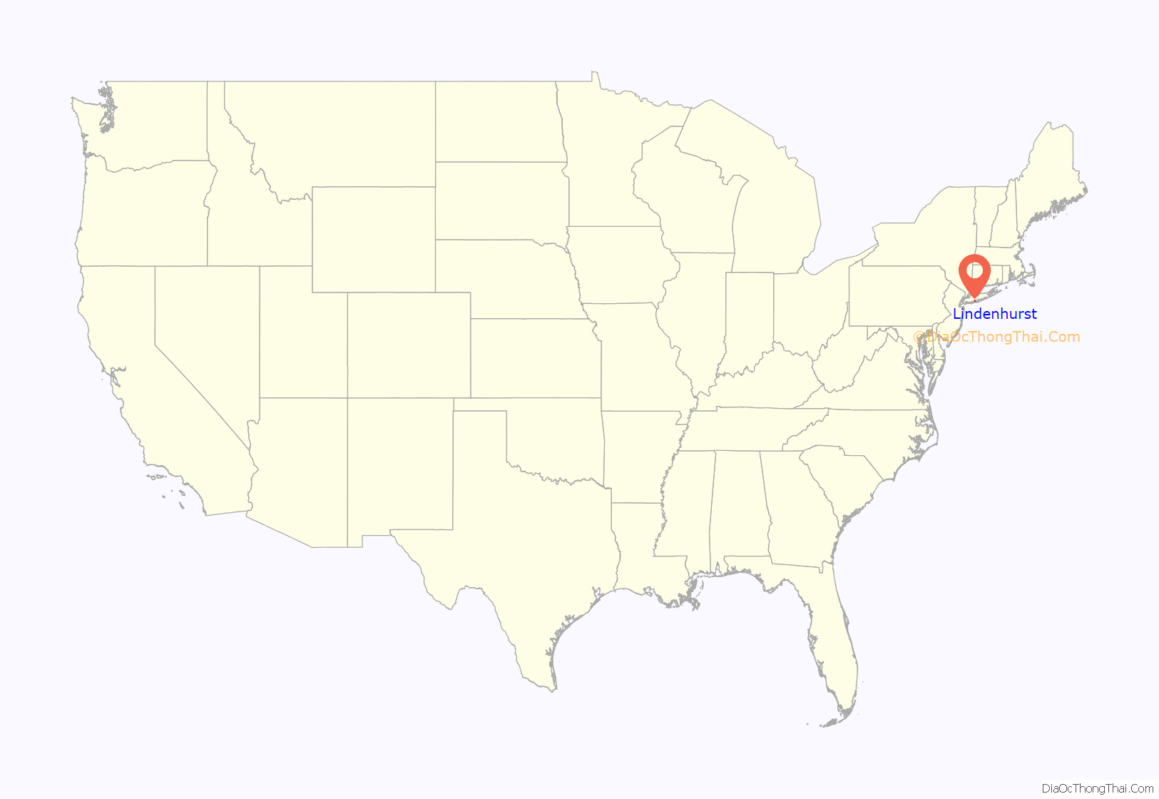
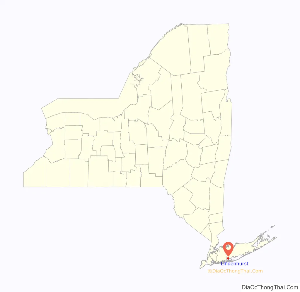
Lindenhurst location map. Where is Lindenhurst village?
History
The village was originally named “Breslau” because the town’s original German schrettlers were from the city of Breslau in Silesia (present-day Wrocław, Poland.) The town was founded in 1873 and renamed Lindenhurst in 1891.
On October 30, 2012, Hurricane Sandy flooded over half the village’s streets. On the southern side of Montauk Highway the water reached up to 6 feet (1.8 m) high. When multiple fires broke out south of Montauk Highway, firefighters were able to contain these fires to their respective dwellings limiting further damage to neighboring houses. Firefighters from most of the Town of Babylon helped control the fires in Lindenhurst. Firefighters fought the blazes in water that was four feet high in higher spots and six feet in lower areas. The people who lived on the northern side of Lindenhurst had no power for over one week. Because of incidents of looting the vacated homes on the southern side of Lindenhurst, the police force had to impose limitations. Curfews were enforced, and only people with proof of residency were allowed south of Montauk Highway. After two days, the water receded.
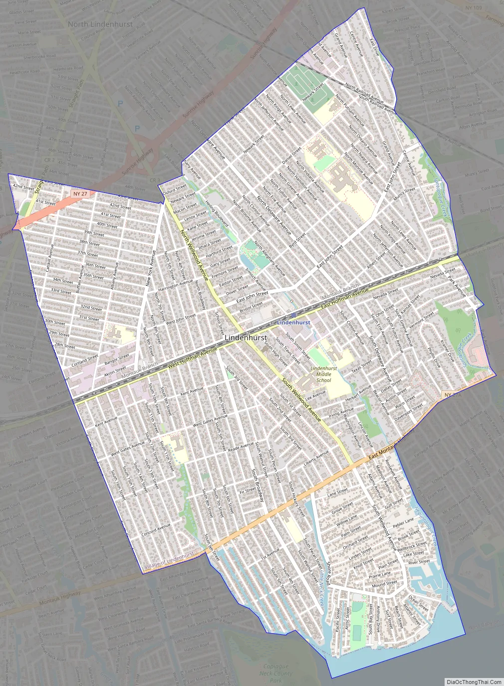
Lindenhurst Road Map
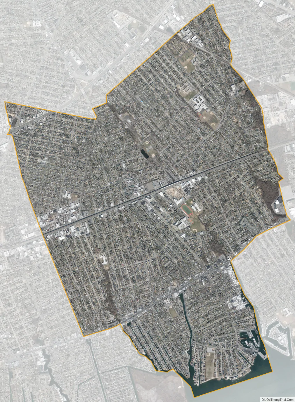
Lindenhurst city Satellite Map
Geography
Lindenhurst is located at 40°41′7″N 73°22′20″W / 40.68528°N 73.37222°W / 40.68528; -73.37222 (40.685400, -73.372228).
According to the United States Census Bureau, the village has a total area of 10.0 km (3.8 sq mi), of which 3.8 square miles (9.8 km) is land and 0.1 square miles (0.26 km) (1.57%) is water.
Lindenhurst is bordered by Copiague to the west, North Amityville to the northwest, North Lindenhurst to the north, West Babylon to the east, and the Great South Bay to the south.
See also
Map of New York State and its subdivision:- Albany
- Allegany
- Bronx
- Broome
- Cattaraugus
- Cayuga
- Chautauqua
- Chemung
- Chenango
- Clinton
- Columbia
- Cortland
- Delaware
- Dutchess
- Erie
- Essex
- Franklin
- Fulton
- Genesee
- Greene
- Hamilton
- Herkimer
- Jefferson
- Kings
- Lake Ontario
- Lewis
- Livingston
- Madison
- Monroe
- Montgomery
- Nassau
- New York
- Niagara
- Oneida
- Onondaga
- Ontario
- Orange
- Orleans
- Oswego
- Otsego
- Putnam
- Queens
- Rensselaer
- Richmond
- Rockland
- Saint Lawrence
- Saratoga
- Schenectady
- Schoharie
- Schuyler
- Seneca
- Steuben
- Suffolk
- Sullivan
- Tioga
- Tompkins
- Ulster
- Warren
- Washington
- Wayne
- Westchester
- Wyoming
- Yates
- Alabama
- Alaska
- Arizona
- Arkansas
- California
- Colorado
- Connecticut
- Delaware
- District of Columbia
- Florida
- Georgia
- Hawaii
- Idaho
- Illinois
- Indiana
- Iowa
- Kansas
- Kentucky
- Louisiana
- Maine
- Maryland
- Massachusetts
- Michigan
- Minnesota
- Mississippi
- Missouri
- Montana
- Nebraska
- Nevada
- New Hampshire
- New Jersey
- New Mexico
- New York
- North Carolina
- North Dakota
- Ohio
- Oklahoma
- Oregon
- Pennsylvania
- Rhode Island
- South Carolina
- South Dakota
- Tennessee
- Texas
- Utah
- Vermont
- Virginia
- Washington
- West Virginia
- Wisconsin
- Wyoming


